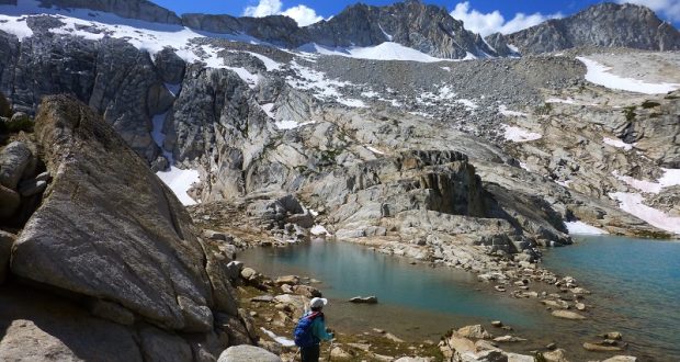
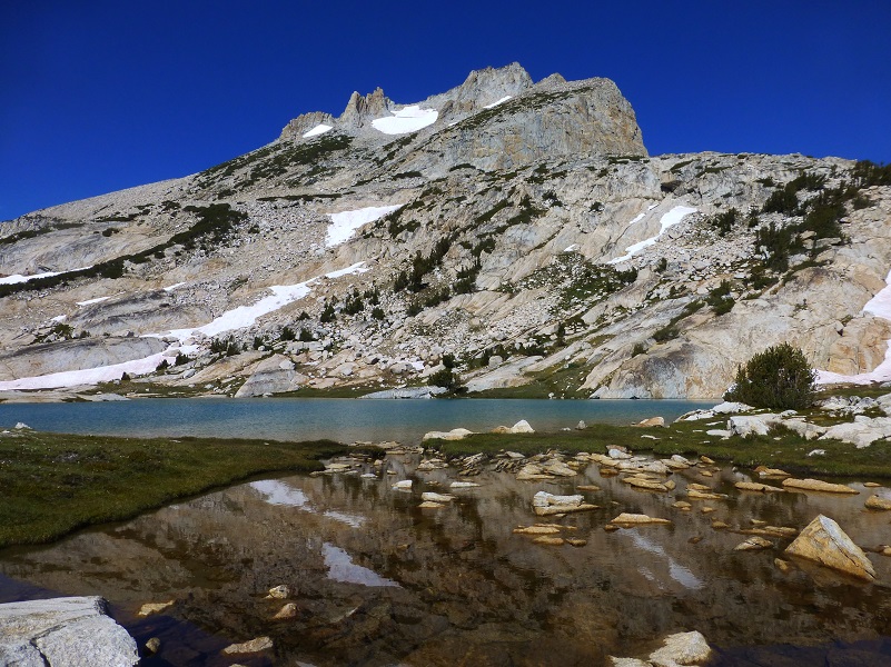
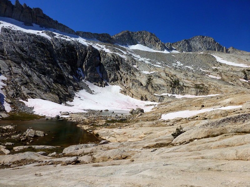
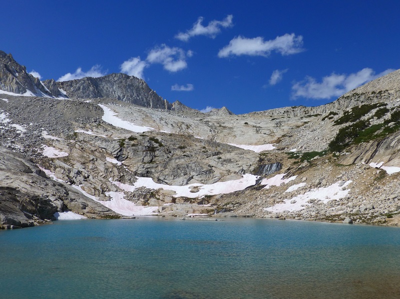
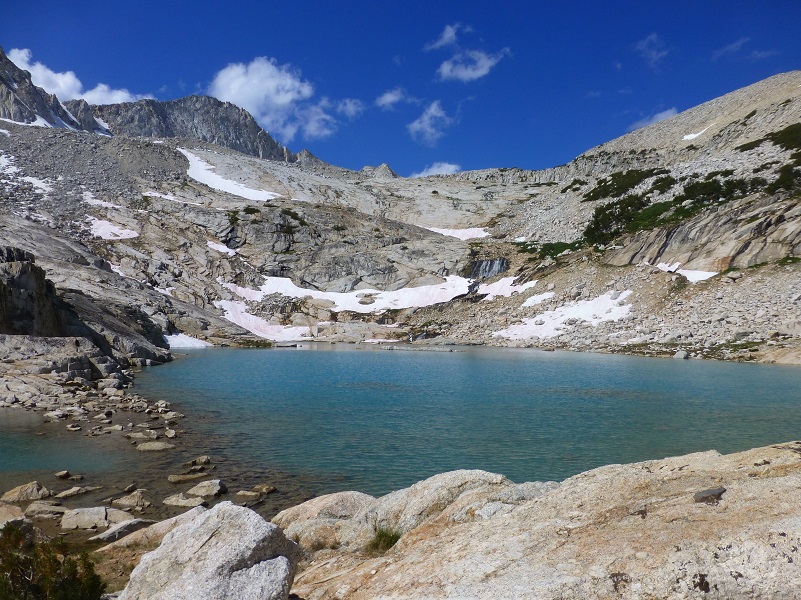
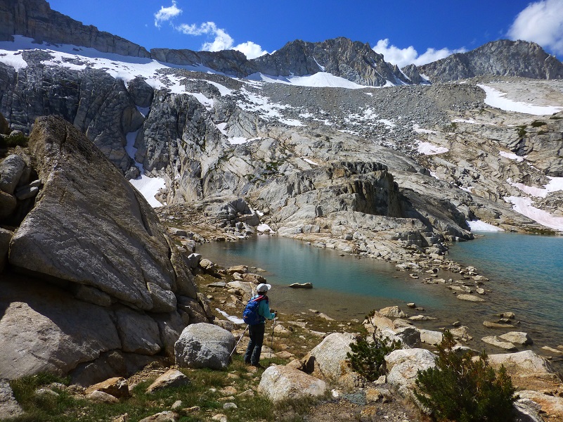
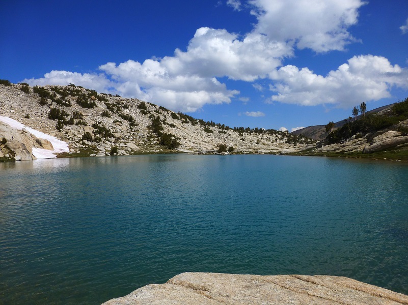
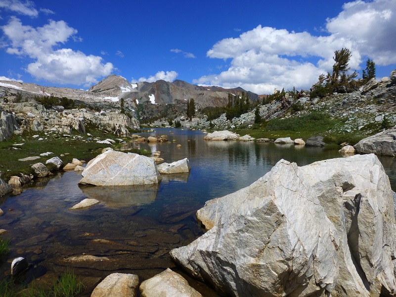
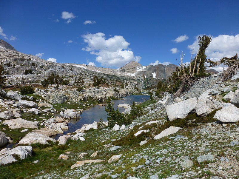
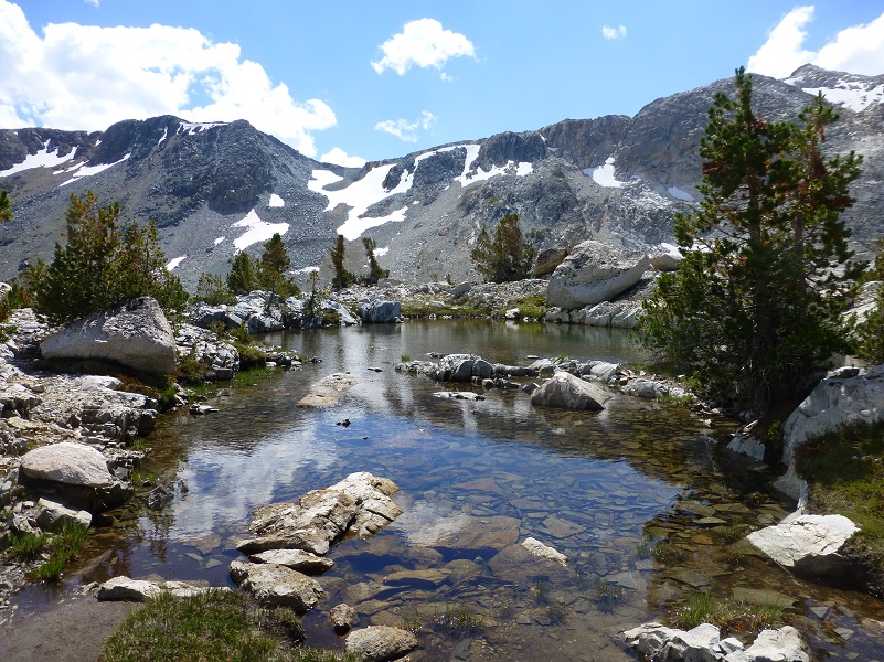
The Conness Lakes are glacial lakes, fed by the largest glacier in the Sierra Nevada north of Tioga Pass. Their colors change with the sun and clouds from a greenish turquoise to grey to blue and when those clouds reflect in the waters of the high lakes and tarns, it is very special!
Where: Harvey Monroe Hall Research Natural Area, Hoover Wilderness, Inyo National Forest
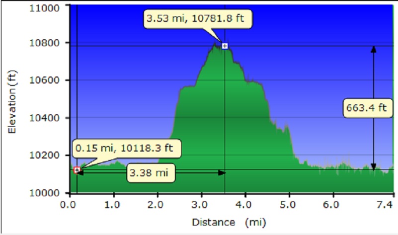
Distance: 7.36 Miles
Difficulty: Moderate
Elevation Range: 10,063′ – 10,772′
Date: September 8, 2017
Maps: Falls Ridge and Buckeye Topogs
Dog Hike? Maybe
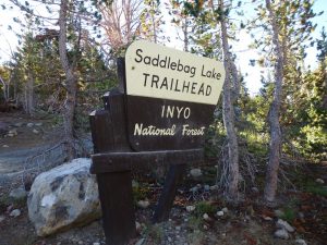 We headed east on Tioga Road, east of the Tioga Pass entrance to Yosemite, to Saddlebag Road and drove up it, parking at the Saddlebag Lake Trailhead Parking Area, stached our after hike goodies in the bear box and headed to the dam. In the past, taking the water taxi operated by Saddlebag Lake Resort was an option, but not this year because they didn’t open due to the snow damage that they received.
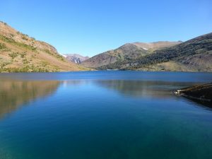
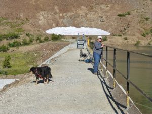
Saddlebag Lake was full to the brim but not flowing over the spillway like it was 3 weeks ago when I last visited. We passed a lady fishing, trying to catch those big trout that hang out at the dam on the way. I hope she caught a big one!
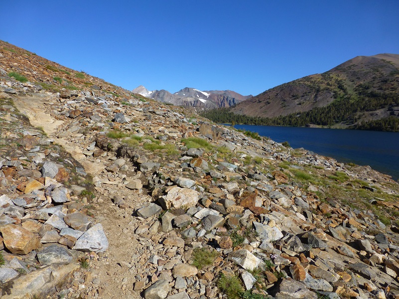
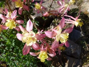
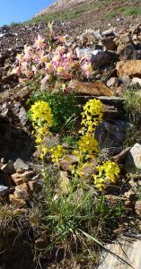
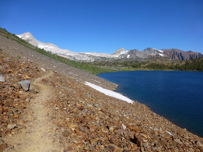
The trail took us along the west side of the lake through those broken up rocks called scree. As we looked closer, we could find all kinds of wildflowers tucked in and around some of the larger rocks. I really love seeing the columbine when it blooms.
We continued on the trail along Saddlebag Lake, the headed up the east side of Greenstone Lake. The wind was blowing a bit, so we didn’t have those pretty reflections.
After we left Greenstone Lake, we crossed over to the Harvey Monroe Hall Research Natural Area, 3,383 acres area set aside in 1933 to conduct research related to the soil and vegetation. Harvey Monroe Hall was a professor of botany at UC Berkley, helping to establish methods for conducting reciprocal transplant experiments, whereas plants were moved and studied in the habitats of similar taxonomic species. One of the specific things that they studied is how plants adapted to various soils and elevations. Climate change is just one of the things that they are capturing data on.
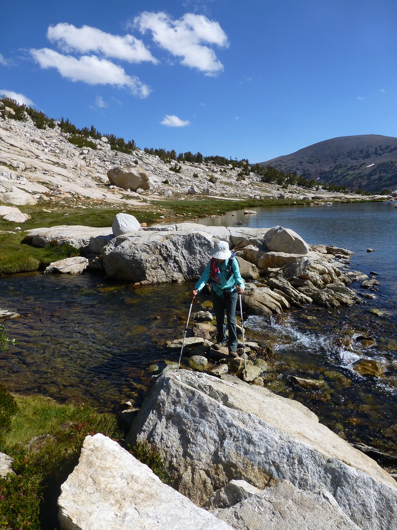
We met up with the trail which followed the creek upstream and the rocky mountain face that we were going up to the right of the waterfall was in our sights.
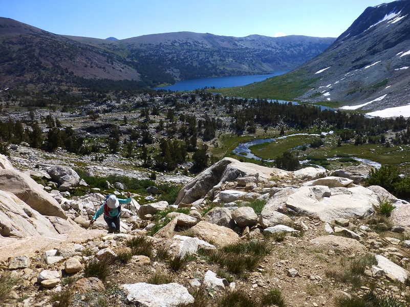
We headed up that rocky slab of a hill and were rewarded with a pretty darn nice view of Greenstone and Saddlebag Lakes below us.
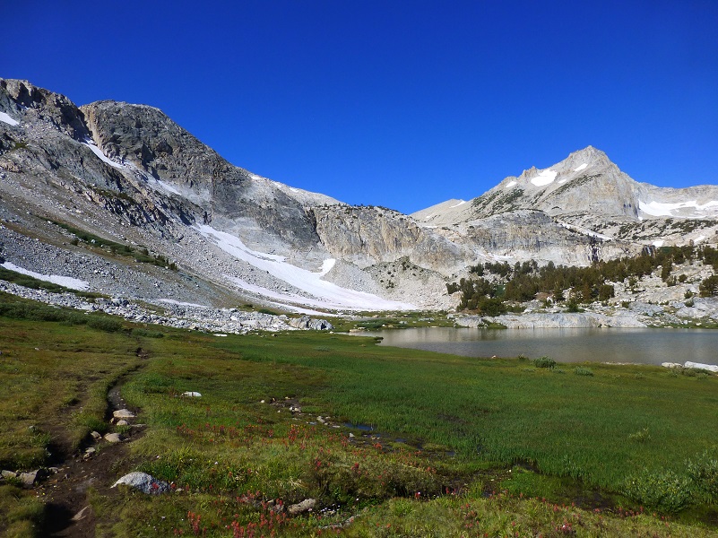
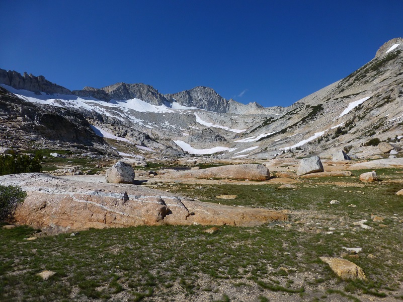
When we reached the top of that climb, we had a gorgeous view of the bowl that the lower of the Conness Lake lays in with Mt. Conness as the frame for that view.
Mount Conness is named for John Conness (1821–1909), a native of Galway, Ireland who immigrated to the United States in 1833. He arrived in California via Panama on the ship Sylph in 1849, engaging in mining and mercantile pursuits in El Dorado County, but by 1853, he was a member of the California Legislature. He served from 1853 to 1854 and from 1860 to1861, and then was the United States Senator from California from 1863 to 1869. He was married twice and had at least 12 children by my count. On the 1860 census, he is living in Georgetown, El Dorado County and lists his occupation as a Miner.
On March 28, 1864, Conness introduced Senate Bill 203, known as “The Yosemite Valley Grant Act. The legislation would by federal action, grant to the State of California the Yosemite Valley and the Mariposa Grove of Big Trees. The purpose of the bill was that the property “shall be inalienable forever, and preserved and improved as a place of public resort.”
No money was appropriated in support of the bill and no supporting legislation provided for federal administration of the areas. It did not establish the National Park, which came later in 1890. The Yosemite Valley Grant Act passed on June 30, 1864 and was signed by President Abraham Lincoln.
The lower Conness Lake is made of three lake sections and we crossed over between two of those.
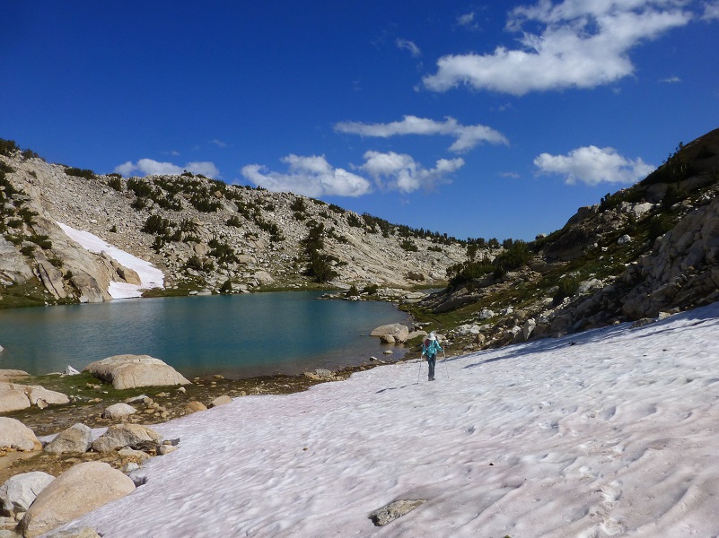
Time to head up to the next lake through the September snow.
It was only about 3/4 of a mile up to the middle Conness Lake and it had a smidge of ice still on the lake in one protected corner.
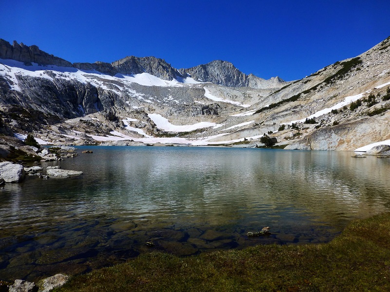
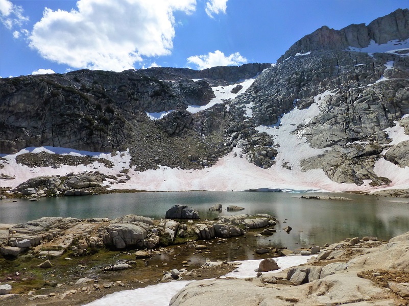
It was an easy half of a mile or so across rocky slabs to the upper Conness Lake which was a beautiful turquoise color, but as clouds would partially cover the sky, that color would change back and forth.
Mount Conness towers over this upper lake at 12,649′ elevation, and its knife edge ridge borders the lake on the west and southwest sides. North Peak, 12,231′ elevation, borders the lake on the north side. We could also spot where the Conness Glacier lies, which they say is the largest glacier in the Sierra Nevada north of Tioga Pass.
Those clouds were really starting to gather and darken by the time we reached the upper lake so we didn’t spend too much time there and made our way down lower in case that 30% of rain and thunder materialized suddenly. It didn’t but we played it safe. We found a nice flat rock at the lower Conness Lake for our lunch spot and those clouds seemed to move on.
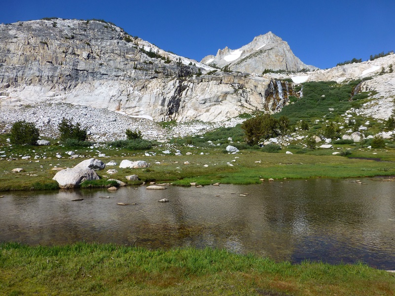
The day was still young so we wandered cross county a bit to check out some tarns that we had visited in previous years, but never this late in the year. We wondered if they would still have water in them. They sure did and they were full of reflections.
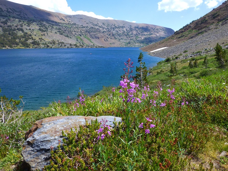
We wandered back down along Greenstone Lake then back along Saddlebag Lake the same way that we had come in the morning but we sure didn’t see this fireweed blooming in the morning. The breezy conditions made it a challenge to get a good picture but I gave it my best try.
We usually do this hike earlier in the year when there is still ice and snow partially blanketing the Conness Lakes. Of course, we were pleasantly surprised to see so much snow still sticking around this year so we weren’t disappointed one bit to do it later this year. An added bonus was seeing so many wildflowers everywhere.
Dog Hike?
This can be a good dog hike, but the rocks in this area can be brutal on their feet. When I have taken Sally on this hike, I pack her shoes, just in case she got a worn spot or cut on her feet, checking those feet periodically.
Maps and Profiles:
Prior Blogs in this Area:
Hiking with Sally and Raven from Saddlebag Lake to Conness Lakes July 6, 2016
Backpack to Mount Conness August 26, 2014
Hiking with Sally and Raven to Conness Lakes July 3, 2014
Sources:
Saddlebag Lake Resort Home Page
Harvey Monroe Hall Research Natural Area Management Plan

