I had never hiked out through Mono Meadow and beyond in the fall and since Tioga Road was temporarily closed due to rockfalls, it sounded like a good workout with the possibility of seeing some fall color.
Where: Yosemite National Park
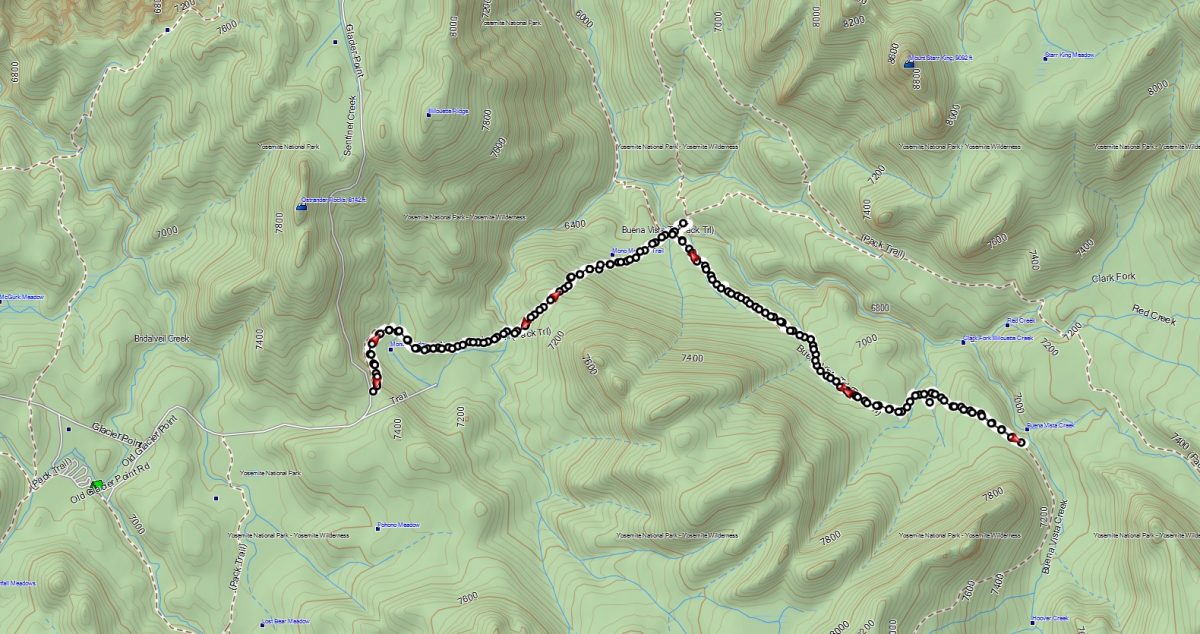
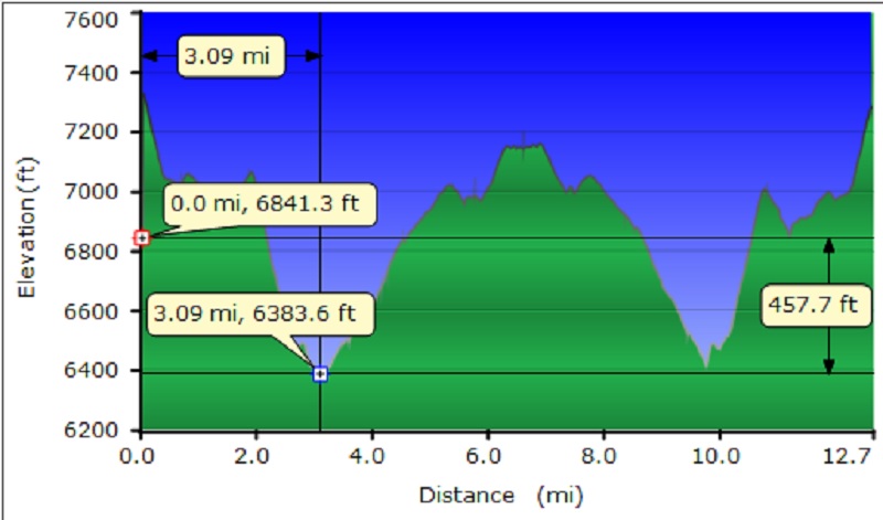
Distance: 12.65 Miles
Difficulty: Easy to Moderate
Elevation Range: 6,361′ – 7,264′
Date: October 20, 2016
Maps: El Capitan, Merced Peak Topographic Quad Maps
Dog Hike? No, dogs not allowed in Yosemite National Park Wilderness
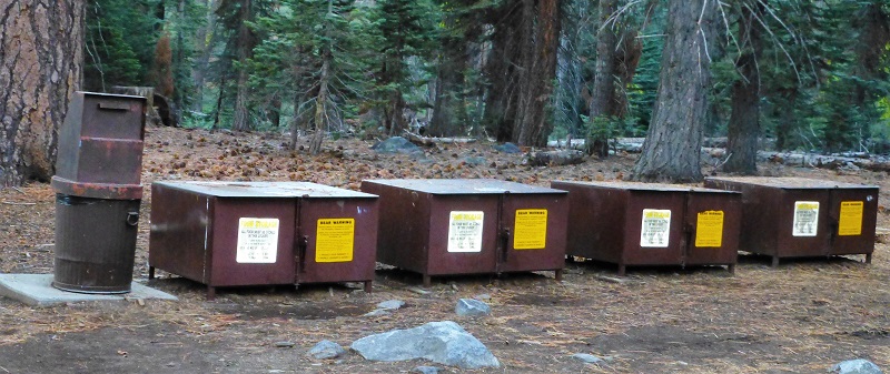
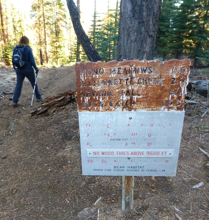
We headed through Yosemite National Park’s South entrance about 17 miles up to Glacier Point Road, where we made a bathroom stop. We then turned right on Glacier Point Road and drove about 10.5 miles to the Mono Meadow Trailhead on the right side that was marked. After stashing our snacks and drinks for after the hike in the bear boxes, we headed down the trail.
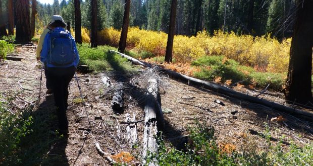
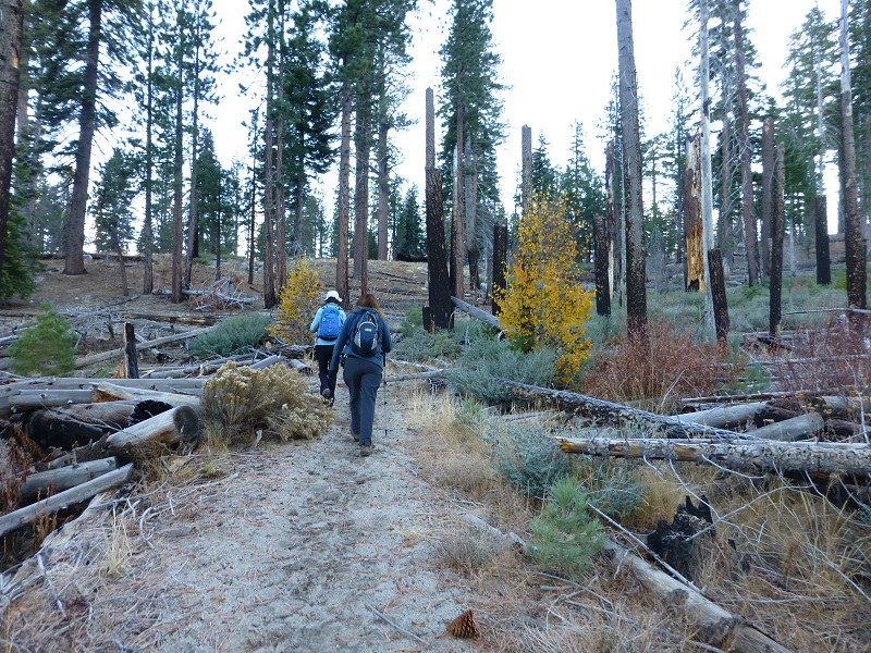
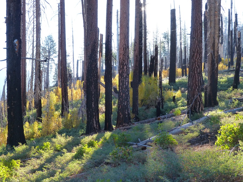
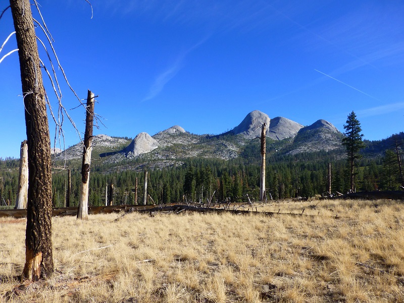
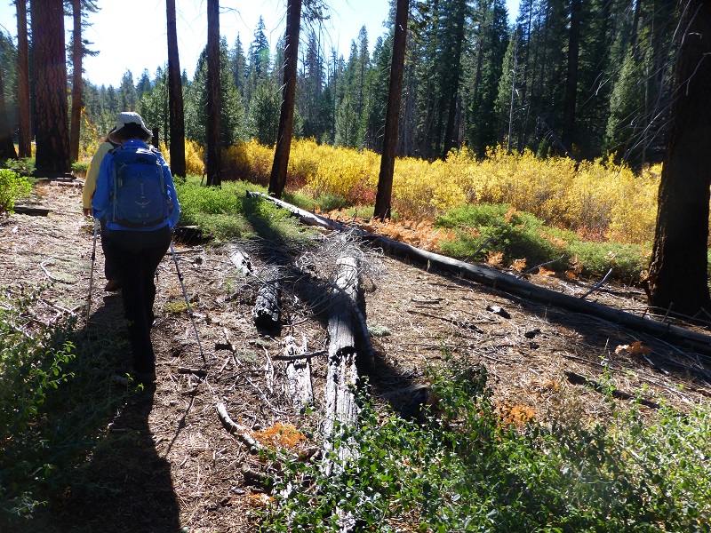
It was about 30 degrees when we started and when we reached in our packs to put our gloves on, everyone but me had warm hands because I was very sad to realize that mine weren’t in my pack. I later located them back in the car. So you will understand that as we walked down the trail through the cool shade, I was look forward to getting into the sun. We walked through a large area with really big trees that had died from fire. This was the results of the lightening caused Meadow Fire back in 2004.
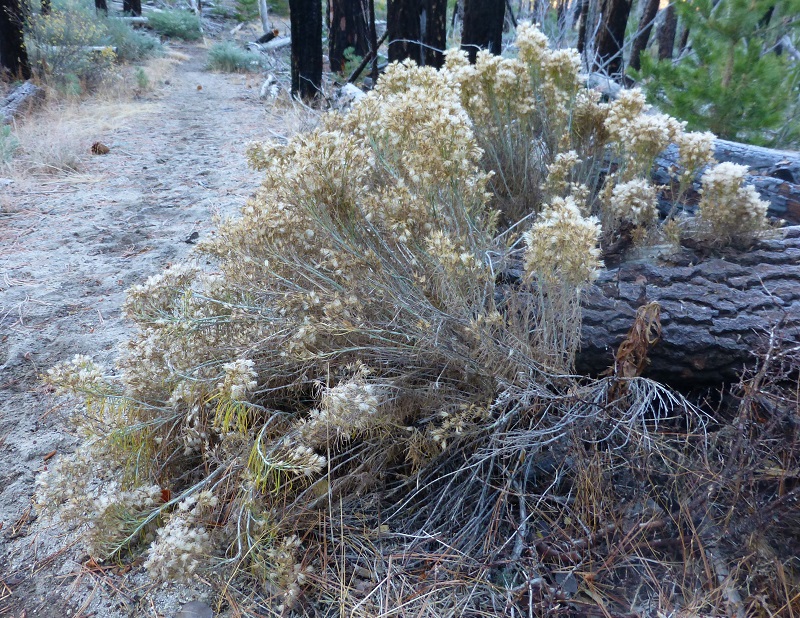
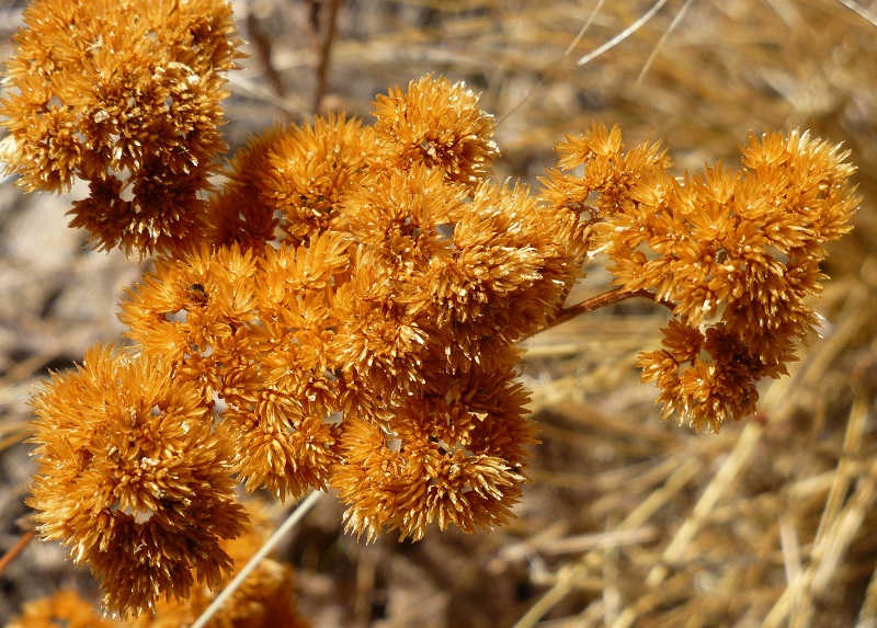
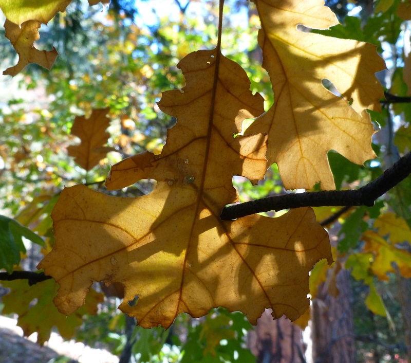
We passed by vegetation that had gone into winter mode and they looked like pretty dried flower arrangements.
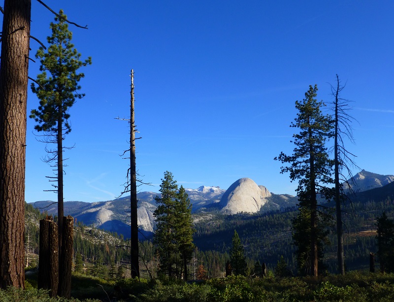
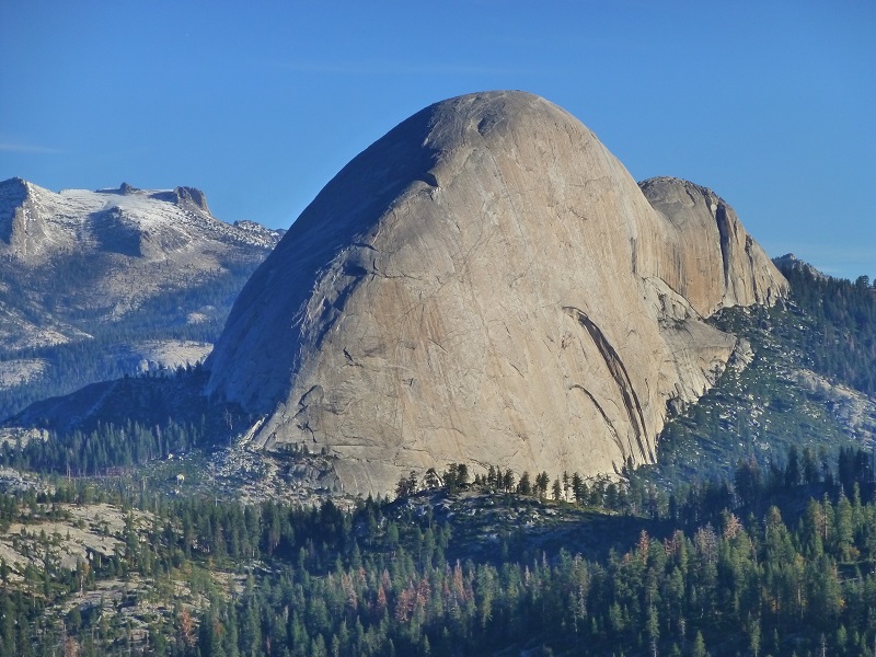
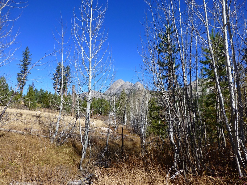
We walked through a couple of spots with really nice views to the northeast looking at snow topped Cloud’s Rest, Mount Star King, Mount Broderick, Liberty Cap and Half Dome.
The trail took us down along Illilouette Creek and I think just about everything about it was pretty.
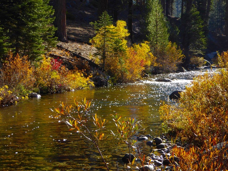
Illilouette Creek (Photo by Debra Sutherland)
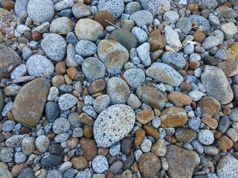
Illilouette Creek Rocks
We headed up the Buena Vista Trail, which had areas with wide open views.
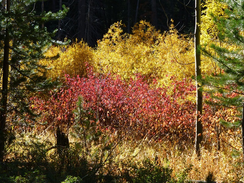
The aspens were in various states of undress

The trail curved around a large hill and started heading south-ish, following a small creek that was full of yellow willows.

We reached an area that was full of buckbrush, covering the trail in places and making travel a bit uncomfortable as we parted the sea of brush.

Heading through the Buckbrush (Photo by Gail Gilbert)
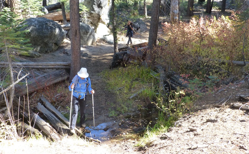
We had to climb over or around a few down trees, some of them looking like they had come down in the last storm and others that had been there a while.
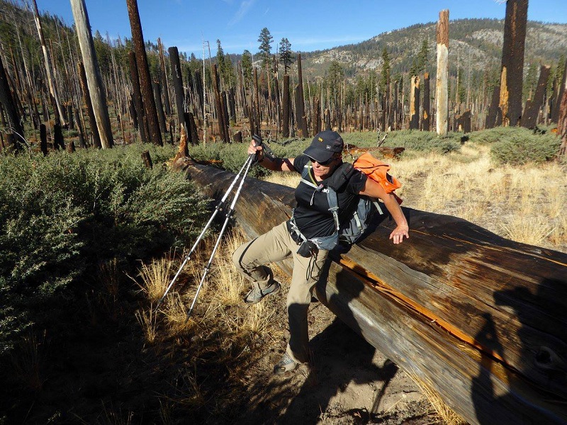
Hopping a Log (Photo by Debra Sutherland)
We found a good log with a view to have our lunch. As we gazed at our panoramic view, we could pick out Red Peak and Mount Clark.

We headed back the same way we came, perhaps being a little goofy with our picture taking.
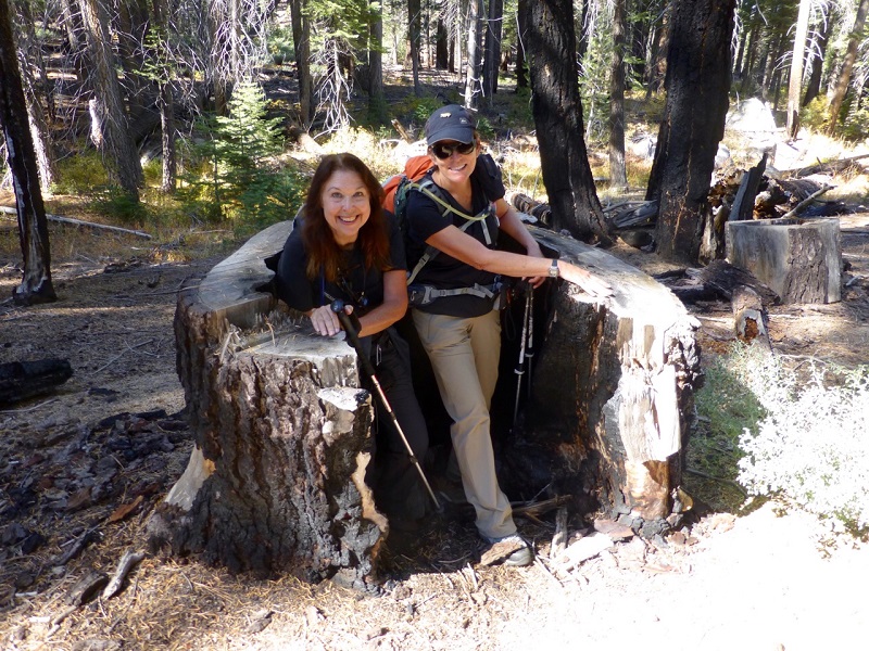
Deb and Me (Photo by Gail Gilbert)
We had a good uphill climb back at the end.
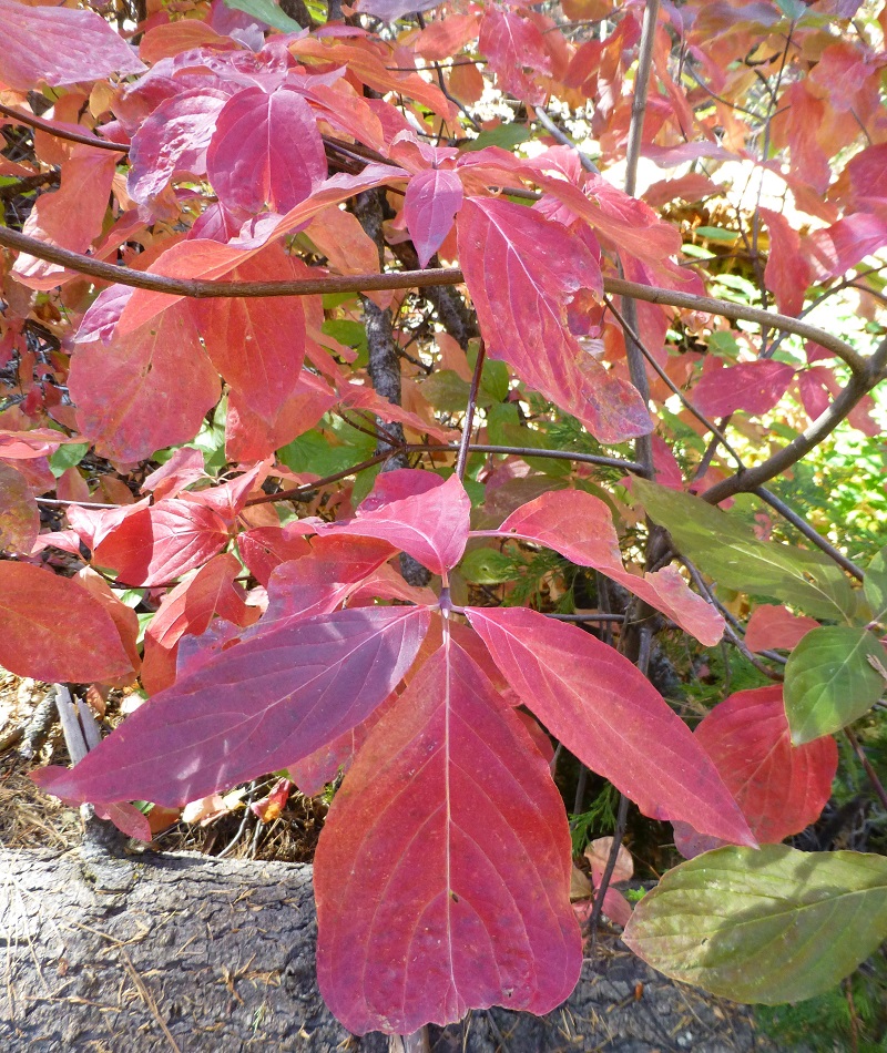
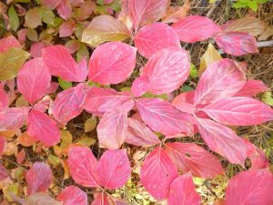
We had spotted some really nice fall color on Hwy 41 just below Chinquapin when we drove in and did a little road hunting for red dogwoods on our way home.

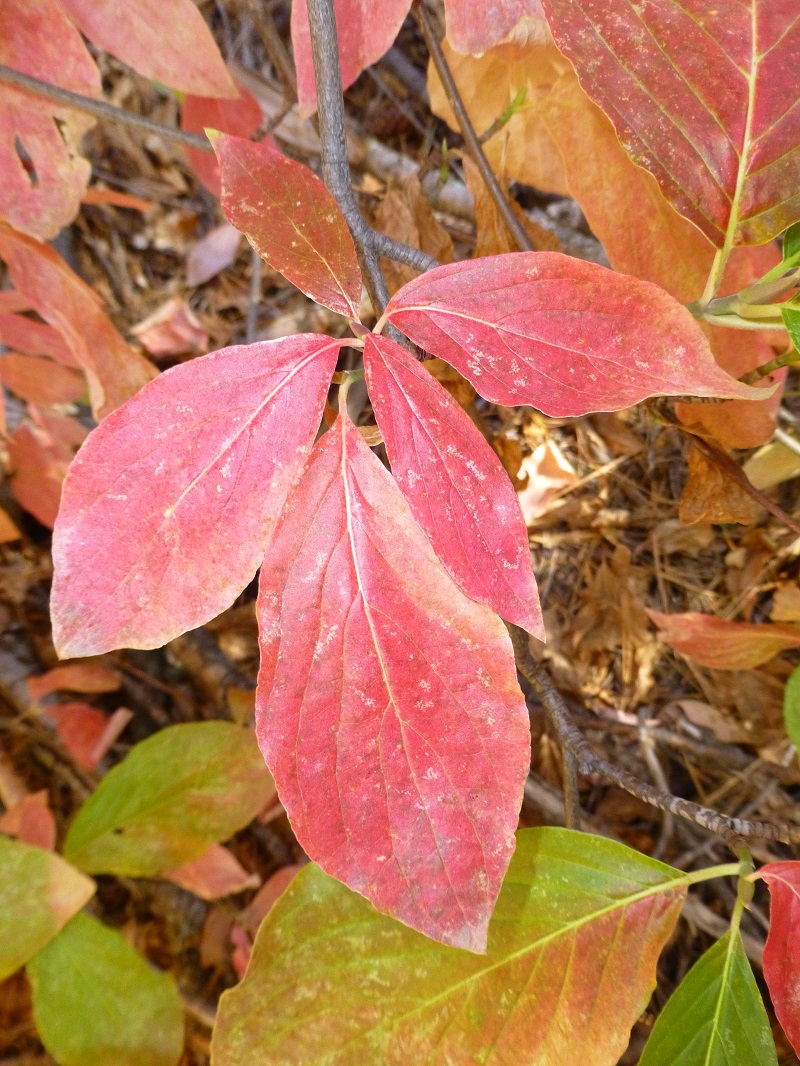
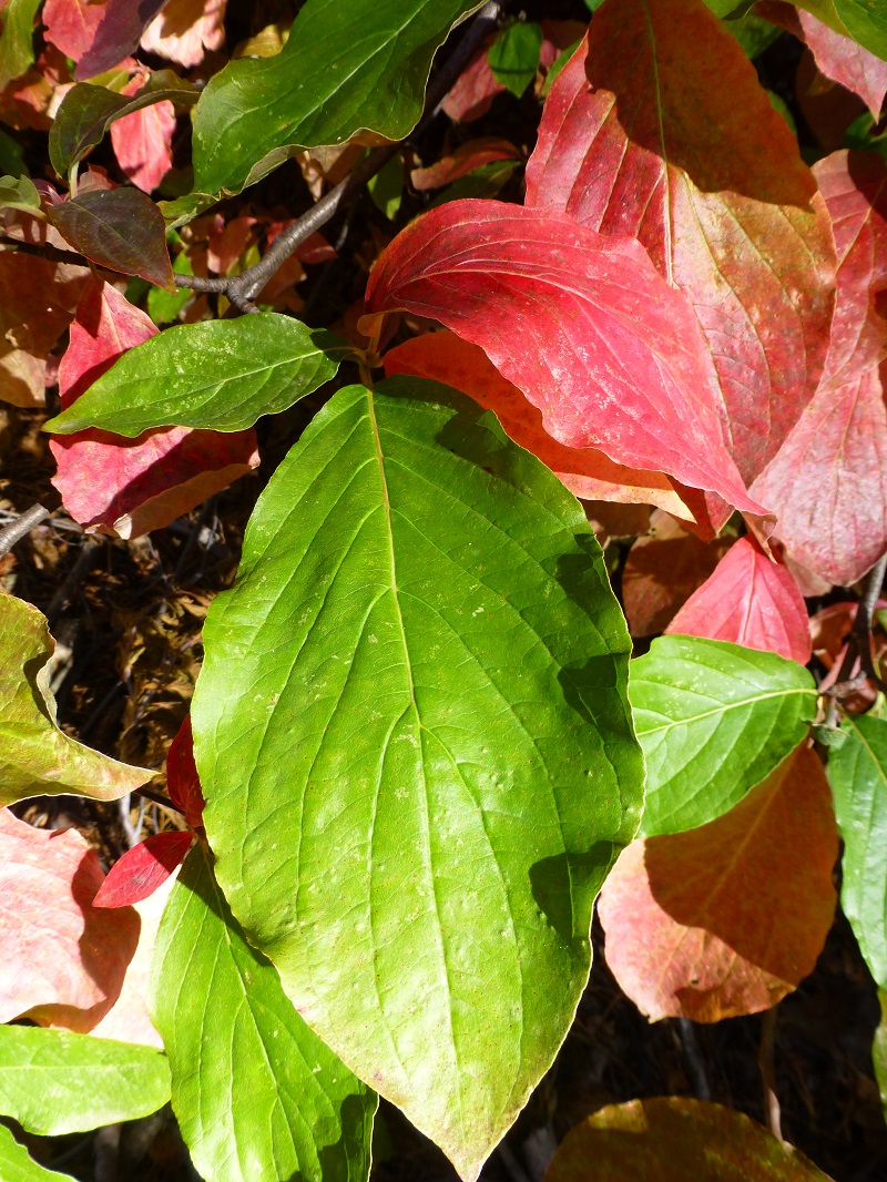

This was a nice workout with some pretty views and the treat of seeing that fall color. Plus I need to comment that this time of the year, there are not mosquitos to deal with! But we did come across a yellow jacket nest on the way in but it was still very cold. We mentally marked its location because we knew when we came back by it, those critters would be swarming more and they were.
Map and Profile:
I am trying out a new way to taking with you on my hikes. Check out the Doarama at this link.
Prior Blogs in the Area:
Glacier Point to Illilouette and Nevada Falls April 20, 2016
Sources:
Yosemite National Park Hikes Along Glacier Point Road
