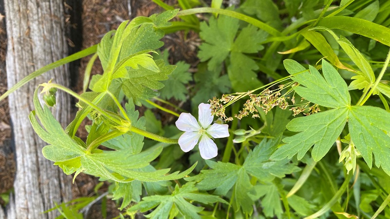
They say that the wildflower show around Lukens Lake can be pretty darn nice in early summer. I might have been a bit early but it is hard to imagine a more dramatic display of Shooting Stars in the meadows and along the waterways. Plenty other colorful wildflowers were doing their part to create a beautiful wildflower adventure.
Where: Yosemite National Park
Distance: 7.57 Miles (1.6 miles roundtrip to only Lukens Lake)
Difficulty: Easy to Moderate
Elevation Range: 7,860′ – 8,351′
Elevation Gain: 749′
Date: June 20, 2022
Map: CALTOPO: Hiking to Lukens Lake and White Wolf
Dog Hike? No
 I headed into Yosemite National Park via the Arch Rock Gate, arriving at 7:19 am and there was no line. I showed them my Peak Hour Reservation Pass, pass and ID. They set a new world record, giving me my yellow ticket to to tape to my windshield.
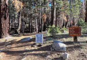 From Crane Flat, where the Tioga Road begins, I followed Tioga Road past the turnoff for the White Wolf Campground road to a turnout on the right handside where the short route, about 1.6 miles round trip, up to where the Lukens Lake Trailhead is located. You can check out the parking at this Google Street View panorama of the trailhead area provided by Yosemite Hikes. The longer route, about 4.6 miles round trip, starts across from the White Wolf Lodge. I walked across the road where the trail began.
This is mosquito season along these creeks and lakes, so I preemptively sprayed down and even though I was really tempted to wear shorts, I wore long pants. A light breeze came and went during my hike and that helped keep them off of me. I suggest you be prepared for them. The trail goes through the 2021 lightening caused Lukens Fire that burned 867 acres. There are many burned and standing blackened trees along the trail but many flowers thriving in this burned area.
As I reached the upper end of the lake, pools of shooting stars were throughout the lush, green areas and continued all the way down the drainage. My pictures of these pools of shooting stars does not adequately show them with the morning light but they were large, healthy flowers and beautiful close up.
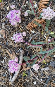
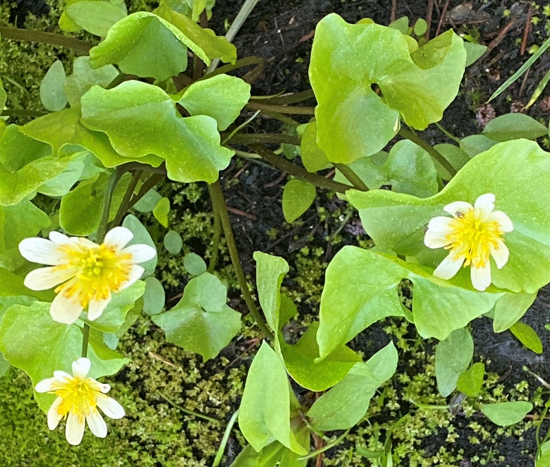
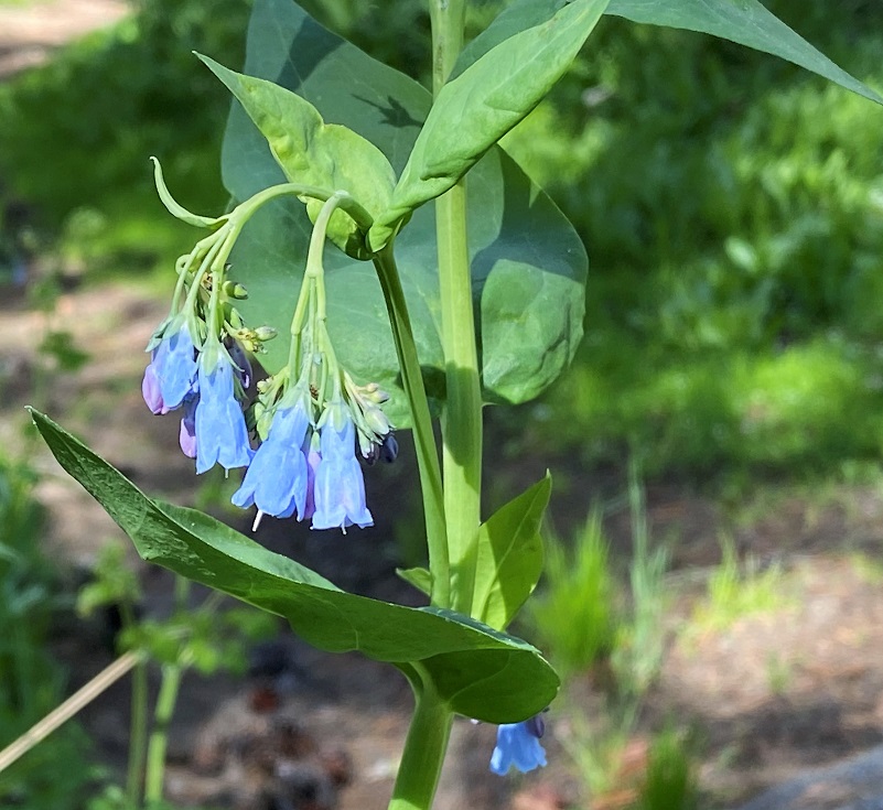
There were other flowers of course.
The trail followed along the lake, with peeks of the lake through the singed trees.
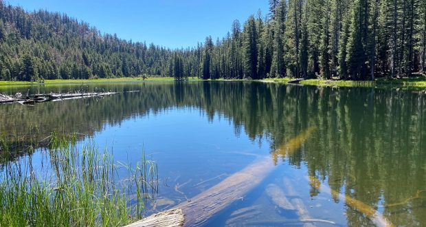
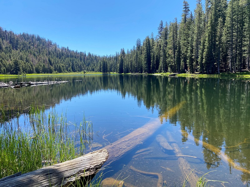
Lukens Lake (8,240′ elevation) had a bit of a breeze that would let up every once in a while to share some beautiful reflections.
And boy oh boy, that morning sun looked like it was dancing on the lake. Check out the short video below to see for yourself.
From Yosemite Place Names, Lukens Lake was named in 1894 for Theodore Parker Lukens, a conservationist and advocate of reforestation; major of Pasadena 1890-1895. From information from the Sierra Club and Wikpedia:
He was born October 6, 1848 Ohio to a German Quaker family, his family moving to Illinois in 1854 to begin a nursery business. When he was 20, he enlisted in the U.S. Calvary, receiving an honorable discharge 2 years later. He married and began his own nursery business in Whiteside County, Illinois. He moved his family to Pasadena, California in 1880 to improve a deteriorating financial and health situation.
Lukens was an American conservationist, real estate investor, civic leader, and forester who believed that burned over mountains could again be covered in timber which would protect watersheds. Lukens collected pine cones and seeds of different types and conducted experimental plantings on the mountain slopes above Pasadena, California. His perseverance earned him the name “Father of Forestry.” He and John Muir was friends for 20 years.
Lukens established Henninger Flats tree nursery, which provided seed stock for an estimated 70,000 trees. He worked for the United States Forest Service and was acting supervisor of the San Gabriel Timberland Reserve and the San Bernardino Forest Reserve in 1906.
Lukens served two terms as mayor of Pasadena and was active in municipal and civic affairs of early-day Pasadena. Lukens remained prominent in civic and conservation issues until his death in 1918. He is buried next to his first wife at Mountain View Cemetery in Altadena, California.
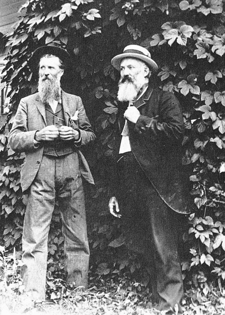
John Muir and Theodore Parker Lukens at Crocker Station, 1895, by Celia Crocker, (Courtesy Yosemite National Park Library )
I continued on along the lake.
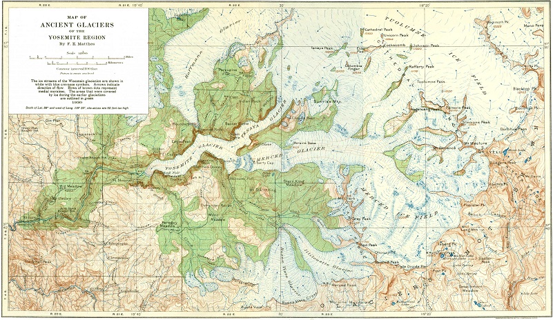
Also from Yosemite Place Names, Lukens Lake was one covered by the ancient Hoffmann Glacier. “The earlier stages of the Hoffmann Glacier filled the valley of Yosemite Creek. The ice overtopped the hills as well as the gaps of the northwesterly divide . . . One of the largest diversions of ice took place through the pass now occupied by Lukens Lake.” The wonderful map below from the USGS maps the ancient glaciers of Yosemite. You can access a larger version here.
From the above document:
Hoffmann Glacier.—On the steep north side of Mount Hoffmann the conditions were particularly favorable for the development of glaciers. There, in the lee and shade of four lofty westward-trending crests, the snows accumulated to great thickness and formed several cirque glaciers that united into one massive ice stream more than 1,000 feet thick—the Hoffmann Glacier. Reinforced by tributaries from Tuolumne Peak and from the group of mountains north of Mount Hoffmann this ice stream turned westward and then southward, down the valley of Yosemite Creek. It filled that valley completely, some of the ice spilling through gaps in the western divide.
At the point where the Tioga Road crosses the valley of Yosemite Creek the Hoffmann Glacier attained its greatest width—about 3-1/2 miles—and a thickness of 1,300 feet; but so great were the losses which it suffered by melting on its broad surface that from this point southward the glacier dwindled rapidly in width and thickness, coming to an end just before reaching the brink of the Yosemite Valley. (See pl. 29.) Clearly it is useless to look for glacier polish on the platforms and slopes of bare rock above the Yosemite Falls or on Yosemite Point; they were never touched by the ice of the last glacial stage. Nor are the fantastic rock tables that lie near Yosemite Point ice-borne erratics; they are remnants of a sheet of rock from 6 to 8 feet in thickness that has disintegrated in place and has been stripped away almost entirely since the time of the earlier glaciers.
The long ridge that hems in the upland valley, of Yosemite Creek on the west was high enough to generate small glaciers of its own. Five such ice bodies carved cirques into its eastern slope, but none of them were long enough to connect with the Hoffmann Glacier. On the west side of the ridge the snows evidently were more plentiful and gave rise to glaciers several miles in length. These extended down into the basin of Cascade Creek, but none of them reached the Yosemite Valley. The longest ended about 2 miles above the bridge on the Big Oak Flat Road.
Small groups of those shooting stars were also along the lake.
I wasn’t sure if I was going to continue on to White wolf. It really depended on how bad the mosquitos were and they were not bad at all. They were out but not bothering me. I decided to go for it, following the trail onward towards White Wolf. There were a couple of trees across the trail and a couple of small creeks to get across, but nothing bad. Those creeks are drying up quickly and soon won’t be an issue at all.
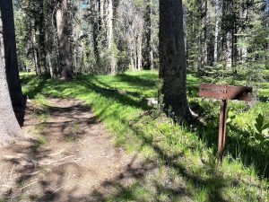
The trail was well signed and I followed those signs to White Wolf.
The trail pretty much followed a creek and the shady areas gave me different wildflowers to see along the way.
And more of those beautiful Shooting Stars along the way.
This was the trickiest creek crossing but it will soon be dry enough that you can walk across it.
I soon made it to White Wolf. Here is what Wikipedia says:
Settlement in the White Wolf area by Europeans began in the early 20th century, after the construction of the Tioga Road. The first structures were likely shelters for ranch hands, and by 1930 the area was home to a small resort which included tents, tourist cabins, a small store and restaurant, and a gas station. After a drop in tourism following World War II and the relocation of the highway, the land was purchased by the government, with concession rights held by the Yosemite Park and Curry Co. The public campground was improved in 1960-1961.
Sources differ on the origin of the name. According to one story, cattlemen pursuing horse thieves in 1850 came upon an encampment of Indians led by a tribal chief whose name was White Wolf, and named the place after him. Another story is that it was named by a sheepherder who saw a white wolf in the area.
There are two separate facilities at White Wolf, White Wolf Lodge and White Wolf Campground. White Wolf Lodge is closed for summer but White Wolf Campground is planned to open. Here is what Yosemite Hospitality posted on White Wolf Lodge’s status:
Please Note: The entire team at Yosemite Hospitality has been working tirelessly on operating plans for the summer season; however, unprecedented hospitality industry staffing challenges continue. Due to staffing shortages, it has been determined White Wolf Lodge will be closed this summer. Yosemite Hospitality is directly contacting guests with 2022 reservations to provide refunds. Please click the “Check Rates” option on the website to view alternative accommodation options in Yosemite National Park.
A Campground is also located here and is scheduled to be open this summer. From Yosemite:
In 2022, during the campground’s open season (approx. July – September), 74 sites will be available by reservation only. We don’t have an opening date yet for this campground. White Wolf Campground is scheduled to close on September 25. Reservations for about 50% of campsites will be available up to two months before arrival date on the 15th of each month.
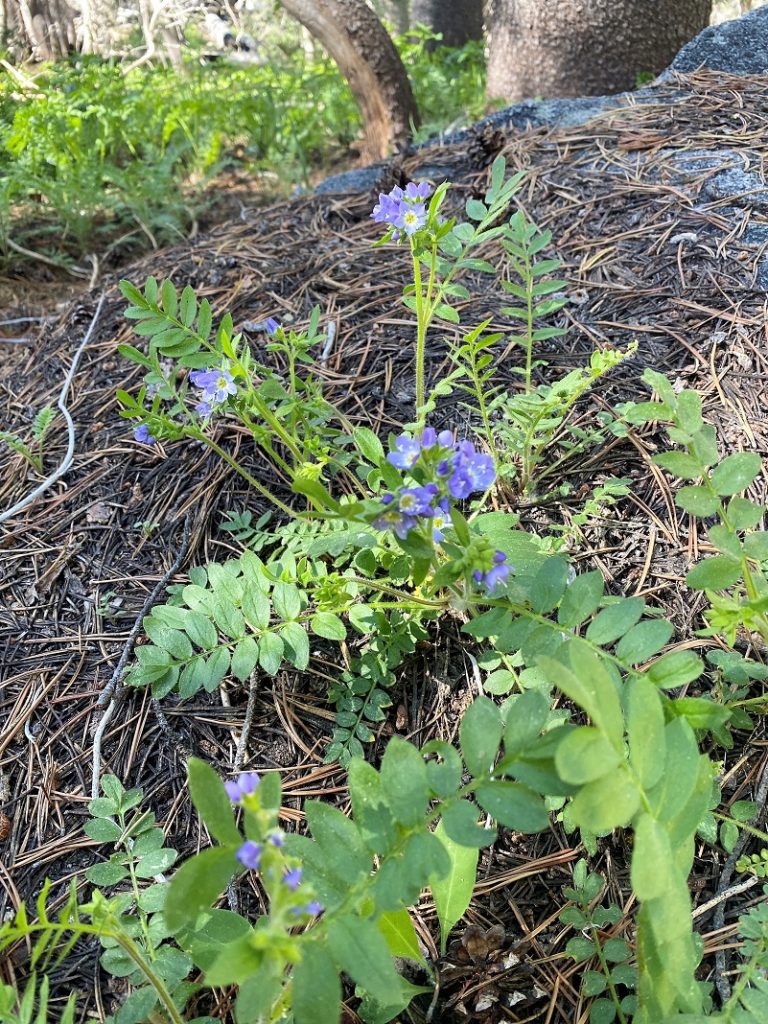
I had a snack, then headed back. I noticed a few wildflowers that I had missed on my way in. There were also other tall wildflowers such as larkspur that were developing their flowers but hadn’t quite decided to show off their blooms yet.
This isn’t one of those hikes that you are likely to have to yourself but I was surprised that it wasn’t more peoplely. I didn’t see anyone on the way to White Wolf, met a group of backpackers heading out from there to Pate Valley, then 2 couples along the way back. The mosquitoes can be pretty bad at times but I sprayed down and they weren’t an issue for me. Be prepared though! Also, the hike leads through a burn and there are many dead trees along the trail that will eventually come down. I would pay special attention to what you are walking under or along side.
Dog Hike?
No, dogs not allowed in Yosemite National Park Wilderness.
Doarama:
What is a Doarama? It is a video playback of the GPS track overlaid on a 3 dimensional interactive map. If you “grab” the map, you can tilt it or spin it and look at it from different viewing angles. With the rabbit and turtle buttons, you can also speed it up, slow it down or pause it.
Lukens Lake and White Wolf Doarama
Map and Profile:
CALTOPO has some free options for mapping and here is a link to my hike this week: CALTOPO: Hiking to Lukens Lake and White Wolf
Sources:
Yosemite Peak Hour Reservation System Information
Browning, Peter, Yosemite Place Names, Great West Books, Lafayette California, 1988
Theodore Parker Lukens Sierra Club
Theodore Parker Lukens Wikipedia
Glacial History of the Yosemite Valley USGS
White Wolf Lodge Yosemite Hospitality
Prior Blogs in the Area:

