I needed a good workout hike and the trail out of Sky Harbor is a perfect spring hike. If I got lucky, I just might see some early blooming wildflowers and just maybe my first poppy of the spring. Maybe!
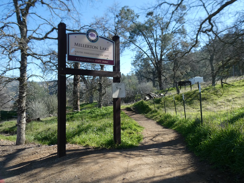
Where: Millerton Lake State Recreation Area, San Joaquin River Gorge Special Management Area, Bureau of Land Management
Distance: 7.88 Miles, but you can go shorter or longer
Difficulty: Easy to Moderate
Elevation Range: 564′ – 1,427′
Date: February 25, 2019
Maps: Millerton Lake East Topog
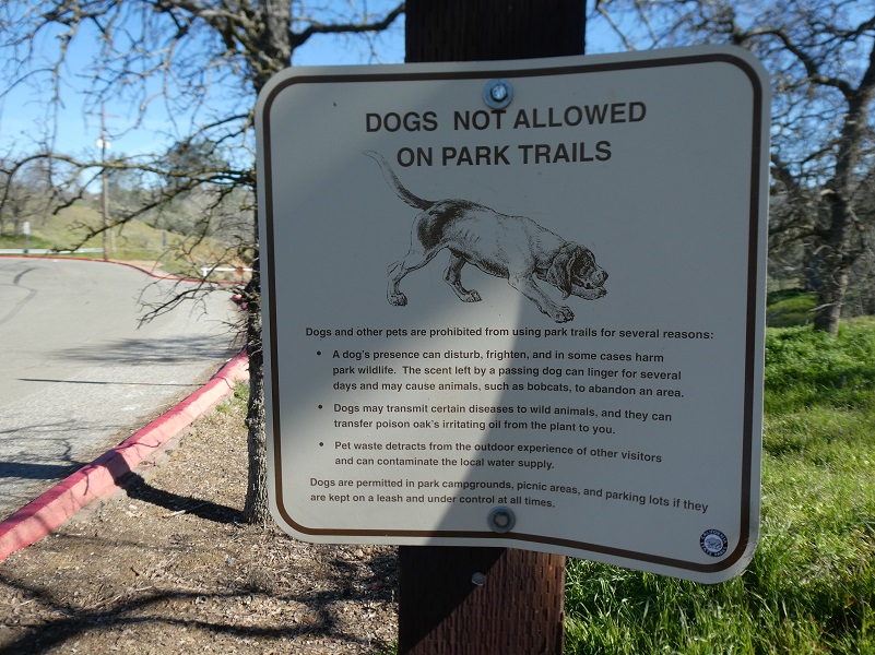
Dog Hike? Dogs are not allowed on Millerton Lake Recreation Area trails but are on the other jurisdictional areas outside the Recreation Area.
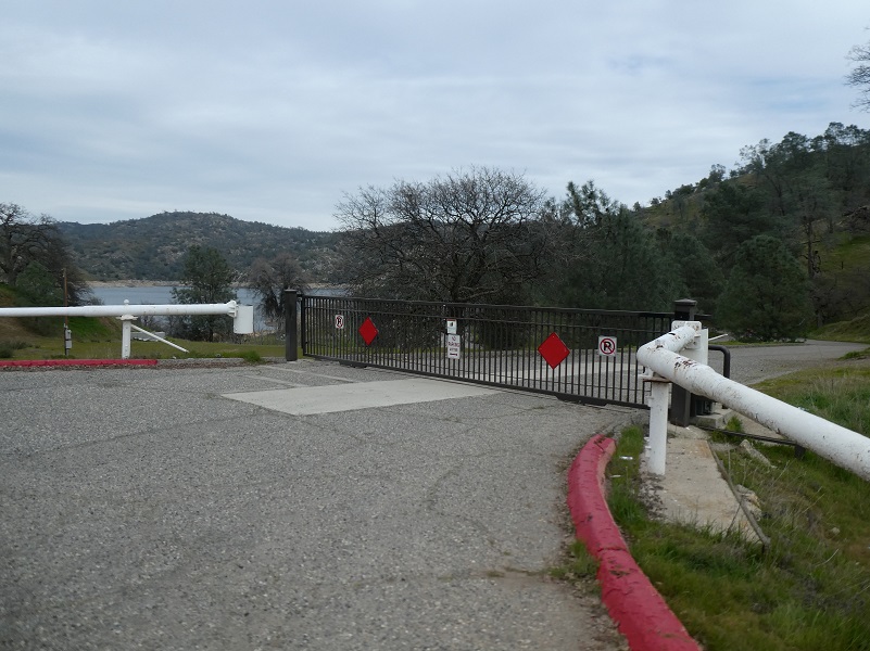 I drove out Friant Road past the entrance to Millerton Lake State Recreation Area and just before Table Mountain Casino, turned left on Sky Harbor Road. I drove all the way to the end of the road and parked alongside the road. The gate to the day use area was closed.
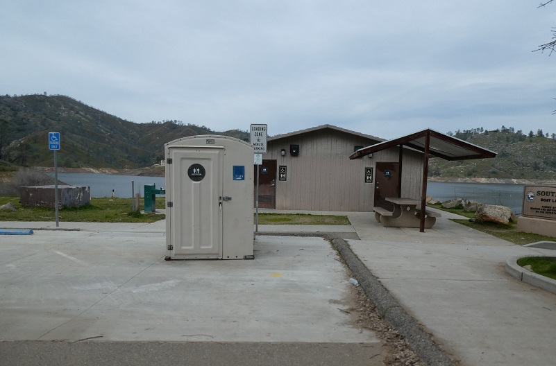
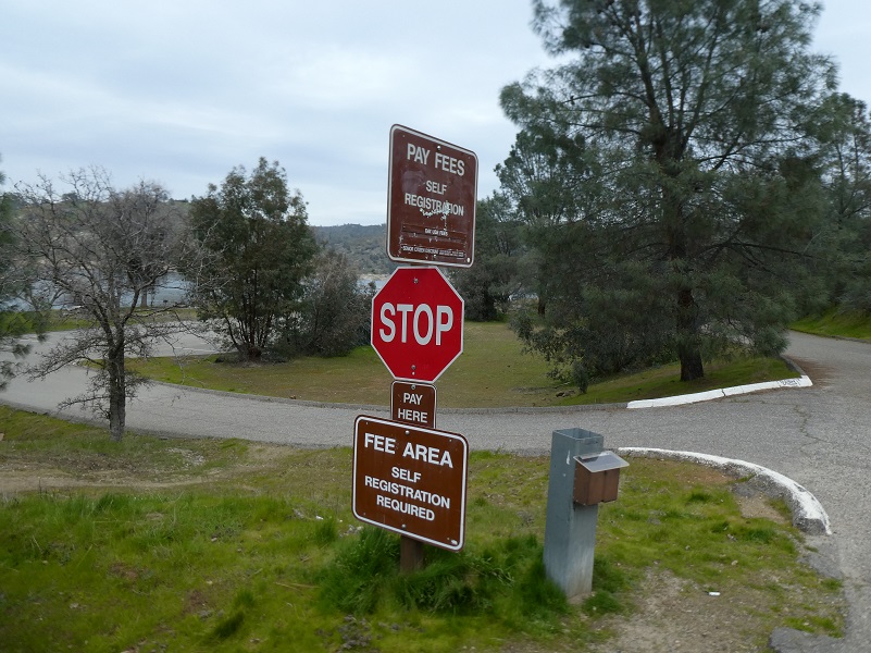
If you walk through the day use area, there is a port-a-potty in front of the restroom, which I did not inspect, and note that there is a $10 day use fee for this Day Use Area.
I walked up toward the day use parking area, following a trail that skirted the metal drive-through gate.
Then, it was time for me to head up the trail. You can hike all of the way up to the San Joaquin River Gorge if you want to and some day, I would like to do a thru hike from there, positioning a second car at the end of the hike. My plan for today was to hike until about noon, then turn back, however far that got me down the trail.


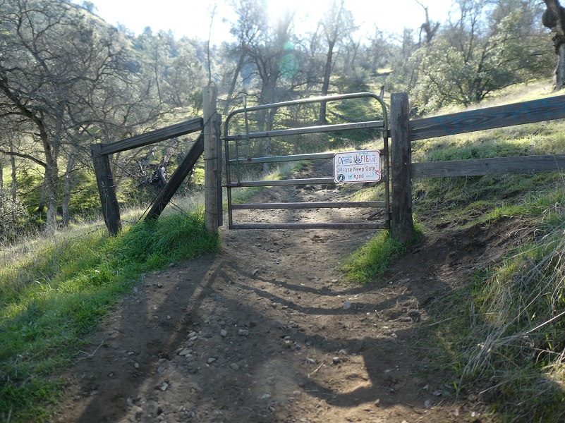
There were a few gates that I had to open and close along the way.
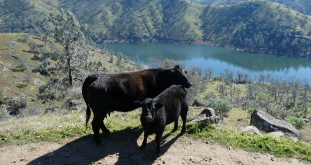
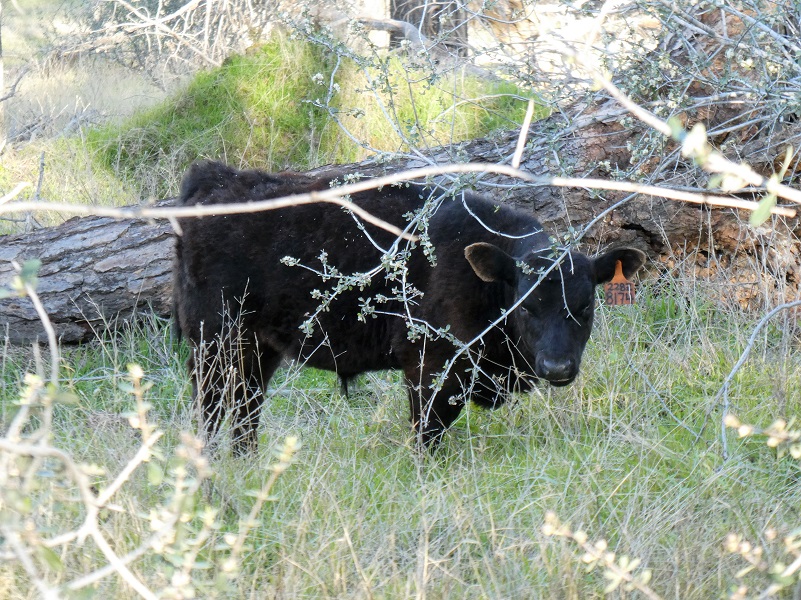
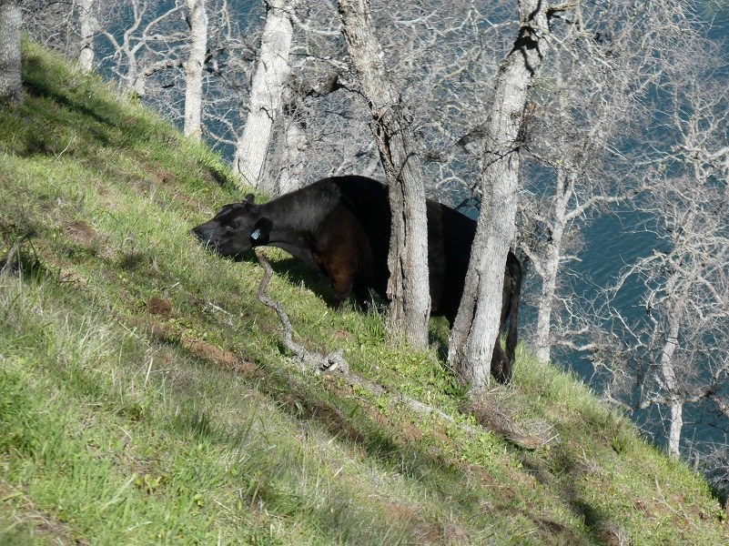
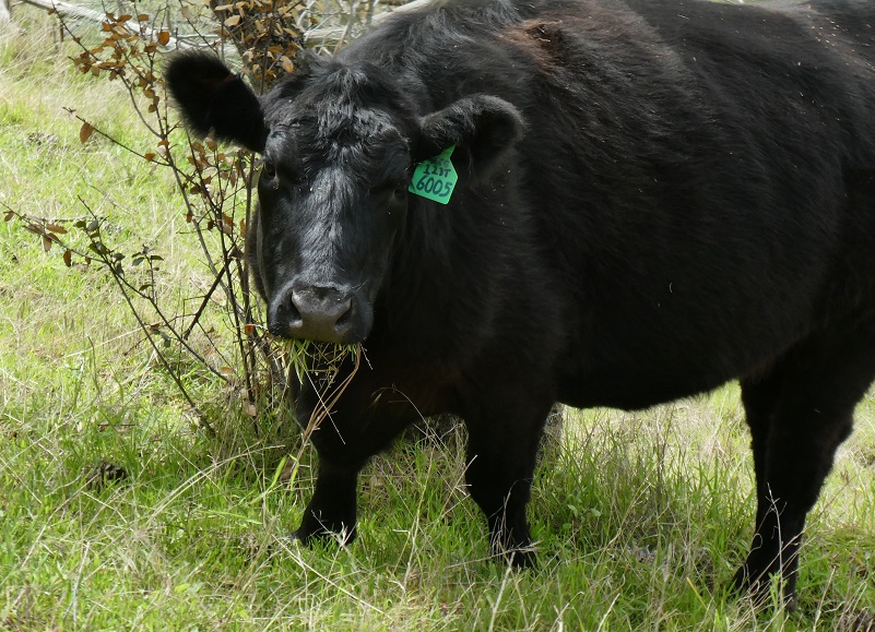
And this was why those gates were there. Cows and their calves were out grazing.
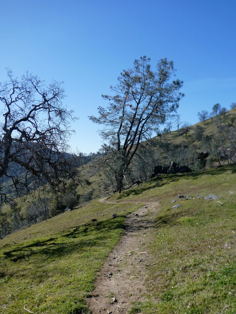
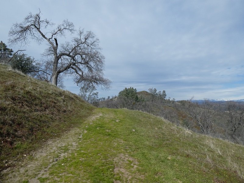
The trail led me on.
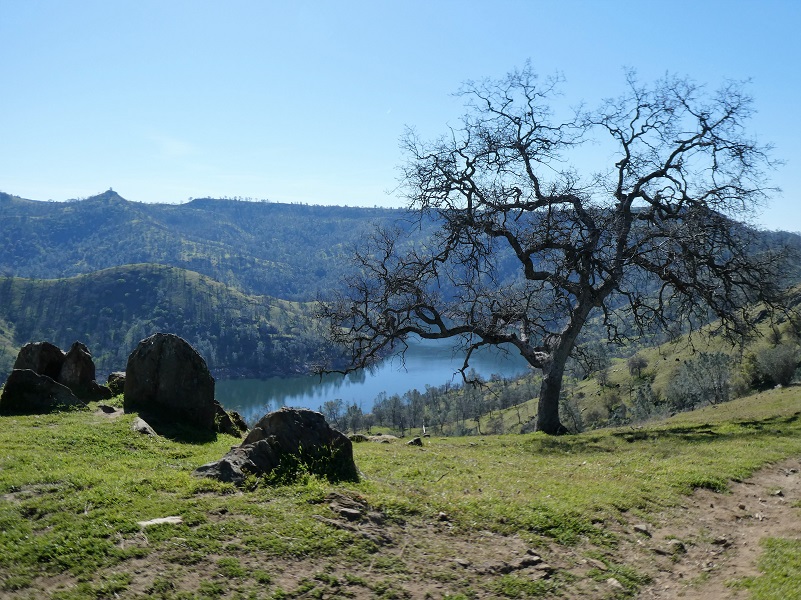
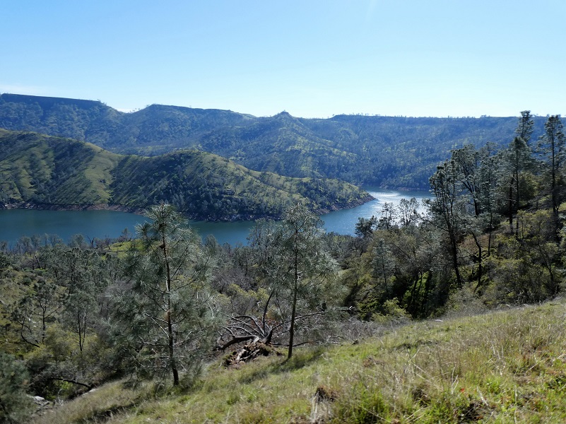
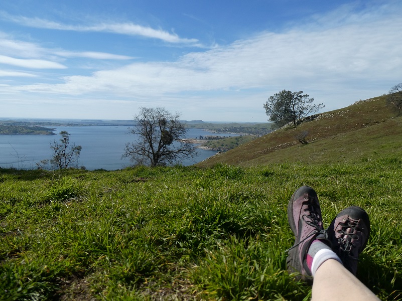
Along the way, I had wonderful views of Millerton Lake.
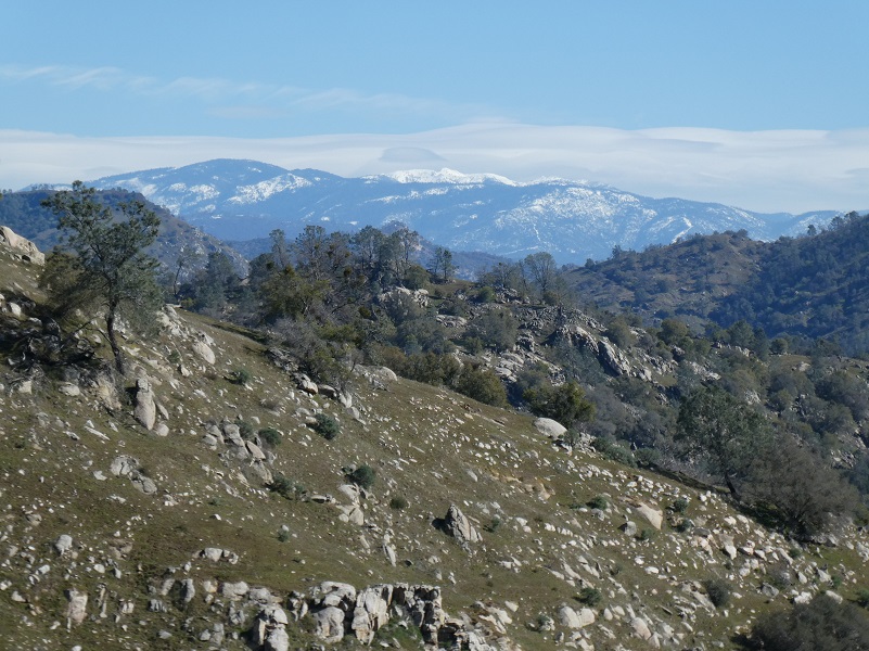
And wonderful views of the snow covered mountains.
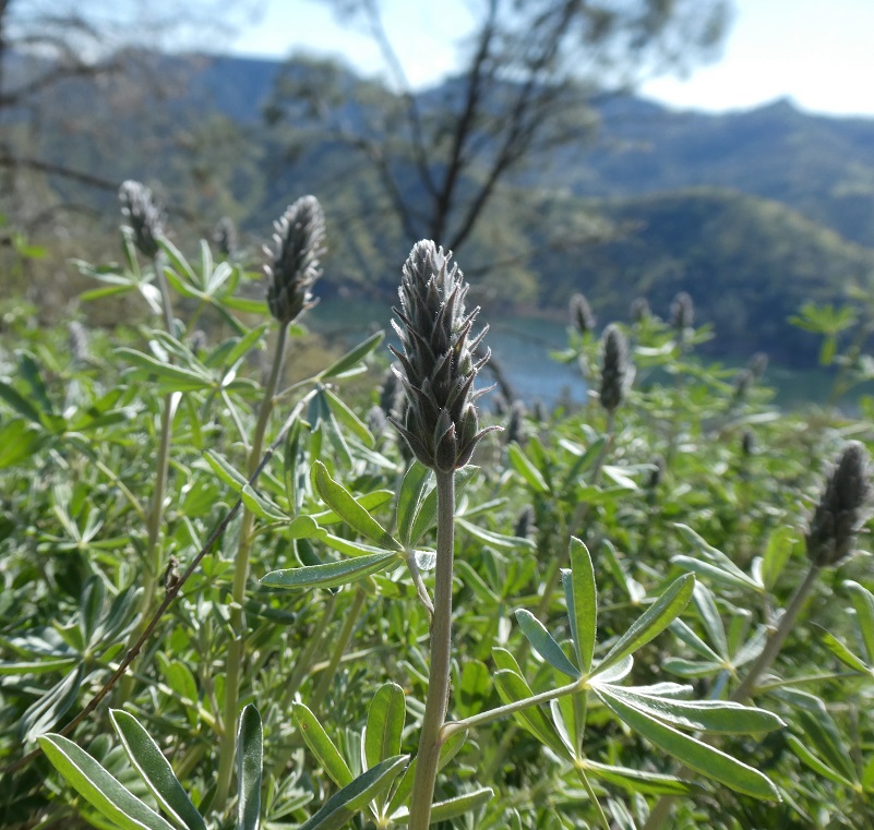
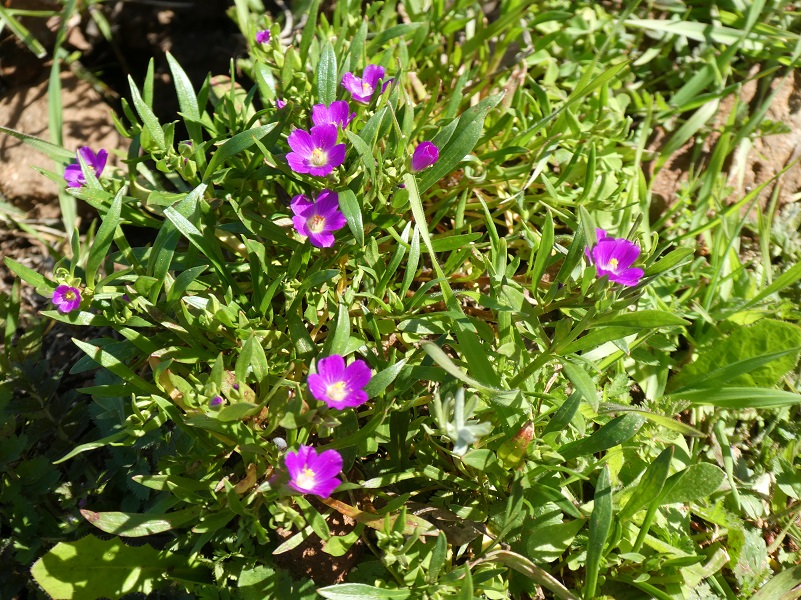
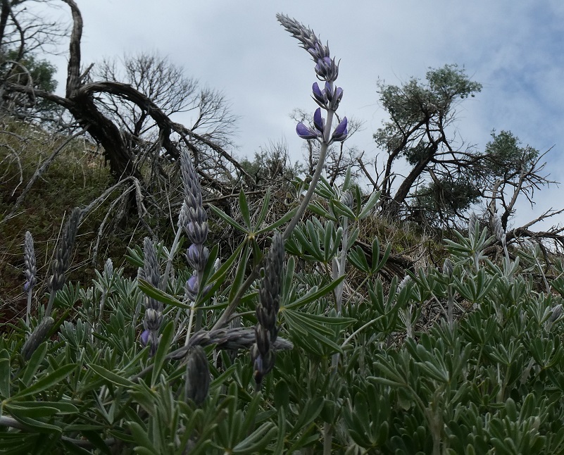
As I drove in Sky Harbor Road, I saw a few lupines in full bloom and had wondered what I would discover along the slightly higher trail. The lupines along the trail were just starting to bloom.
Uh oh, I had a blocked trail. Those cows seemed awfully comfortable and I didn’t want to disturb them.
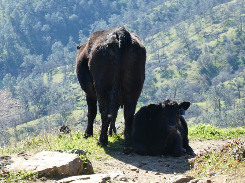
I really don’t blame them for stopping where they did and taking in that view. So I headed uphill to get around them.
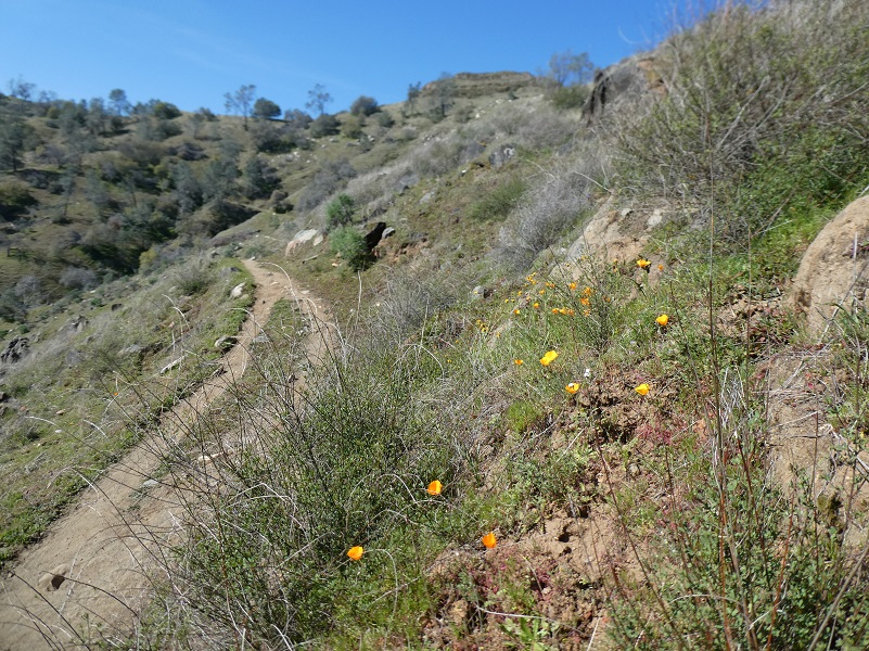
And I discovered my first springtime poppies as I made that detour!

There were a few more poppies but not many yet.
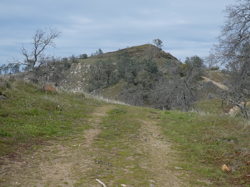
I made my way back down to the trail that continued around Big Bend and I could see Boling Gap in front of me.
Other wildflowers such as popcorn, blue dick and a few others were starting to bloom.


And the trail led me on.

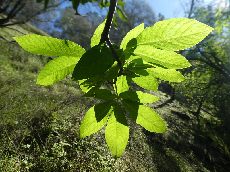
The buckeye were just starting to leaf out and so was the poison oak.
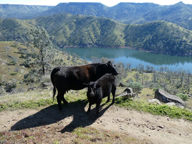
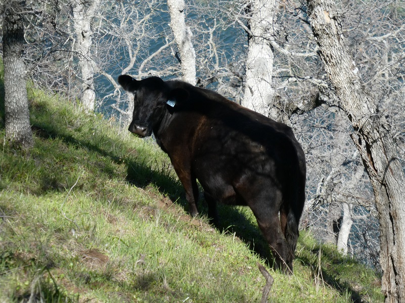
I turned around at about 4 miles and headed back. Then I came across a couple of cows eating grass on a very steep hill. I thought of a story that someone had told me about a special breeding program where they breed cows that have two uphill legs longer than the two downhill legs. These specially bred cattle are called “Hillfers.”
By the look that I received from this cow, I could tell that she had heard that old story before and was not amused.
I was looking for a good spot to stop and eat my lunch and when I reached a spot that I could easily head up to the ridge above the trail, that is exactly what I did.
As it got closer, I decided that I had done 8 miles and that was enough for the day, so I skirted the bottom and headed down. If you check out the Doarama, you can see Pincushion Peak.
That ridge road did have some nice lupines though.
As I reached the bottom of the trail, I couldn’t resist saying howdy to one more bovine.
I think this hike is perfect in early spring and if you can hit the wildflowers just right, you are in for a treat. It is not a hike that I would like to do on a warm day though. There are many exposed areas and those south facing slopes can get darn hot. Also, this area dries out sooner than the gorge part of the trail and the flower display doesn’t last as long into the season. No matter the weather, don’t forget to bring your water with you because you are a long ways away from good water sources. Be advised this area has rattlesnakes and once the weather warms up, they will be out.
Dog Hike? Not on Park Trails within Millerton Lake State Recreation Area
Dogs are allowed in certain areas within Millerton Lake State Recreation Area on leash and under control such as park campgrounds, picnic areas and parking lots. Dogs are not allowed on this trail though. The first couple of miles of this trail goes through the Millerton Lake State Recreation Area where dogs are not allowed on the trails and the trail is well signed that dogs are not allowed. Some people chose to disregard the signs and I saw three groups with dogs not following the rules on this hike.
There are other options to get on the San Joaquin River Trail outside of the Recreation Area. You can enter this area from many places off of Sky Harbor Road lower down the road. You will see many pullouts where vehicles have parked and this can also allow you to get your dog to the San Joaquin River Trail without going through the State Recreation Area. You can also enter it from other areas to the east such as Ya-Gub-Weh-Tuh Trailhead (link from my last hike there at the bottom) or Wellbarn Road.
Map and Profile:
Sky Harbor Hike along Millerton Lake Doarama
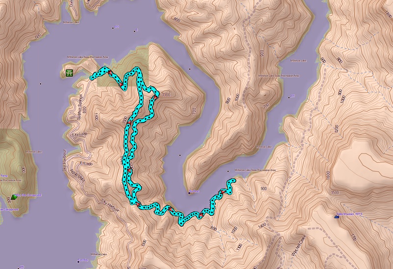
Sky Harbor Hike Topographic Map
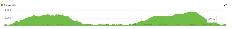
Sky Harbor Hike Profile
Sources:
Millerton Lake State Recreation Area
Goals and Objectives of the Millerton Area Watershed Assessment
BLM San Joaquin River Gorge Special Recreation Management Area
Prior Blogs in the Area:
Hiking from Sky Harbor along Millerton Lake March 31, 2017
Hiking with the Cows along the San Joaquin River Gorge March 23, 2017
Hiking the San Joaquin River Trail March 31, 2016
Hiking the Pa’san Ridge Trail February 21, 2016
San Joaquin River Gorge Hike April 17, 2014

