Wildflowers and snow, all in the same hike! Who would have guessed? We had heard that a few early wildflowers were blooming above Redinger Lake so we headed on up to check them out and got a good workout in as a bonus.
Where: Sierra National Forest
Distance: 10.03 Miles
Difficulty: Moderate
Elevation Range: 1,404′ to 3,521′
Date: February 21, 2018
Maps: Auberry Topographic Quad, Sierra National Forest
Dog Hike? Maybe
From North Fork, we drove down Road 225 and followed the road as it traveled above Redinger Lake, parking on the Madera side of the bridge that crosses Redinger Lake. There was a wide spot on the west side of the road with room for several vehicles. We spotted some reflections in the lake, so we wandered down to check them out.
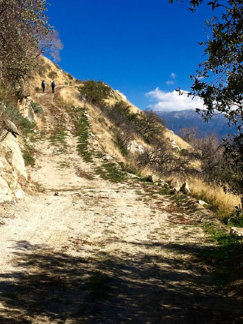
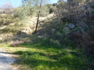 There are a couple of ways to get up to the dirt road that we hiked. We took the marked trail directly across from where we parked and it angled up to the road. The other way to get up to the dirt road is is to walk back up the road the way that you drove in about 200 feet or so to where the dirt road intersects with Road 225 where there is a trail marker. This dirt road is called by some different names. Some references show this as “Transmission No. 1”, “San Joaquin River Trail” or it is just not named. It winds uphill and had several junctions with spur roads to facilitate servicing the transmission line. As it makes its way uphill, it leads up to Mammoth Pool Road and Dam Six Lake. It is a good dirt road that is gated at the bottom, vehicles not being allowed.
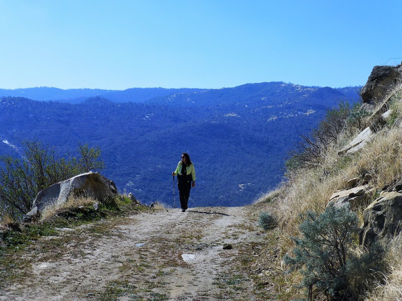
From the get-go, the dirt road started gradually climbing.
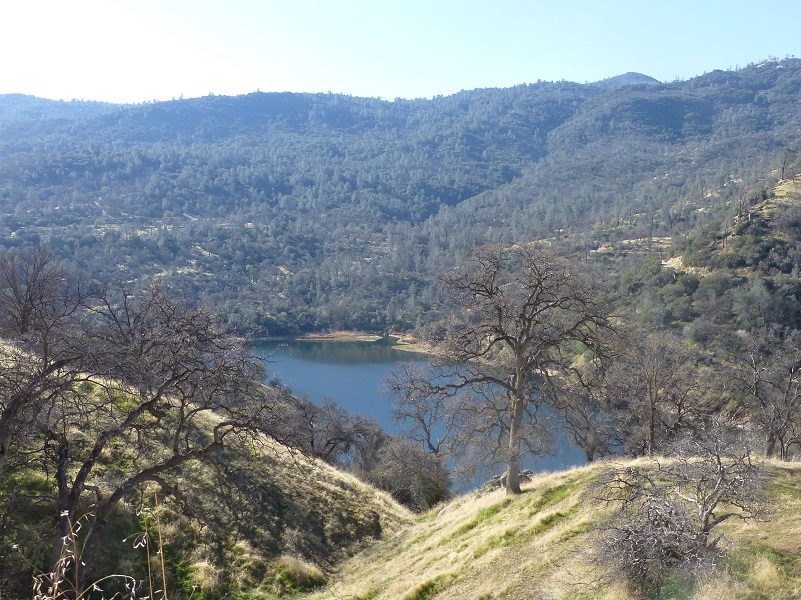
As we climbed, we had very nice views of Redinger Lake.
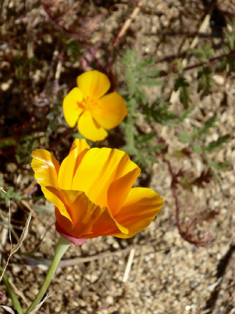
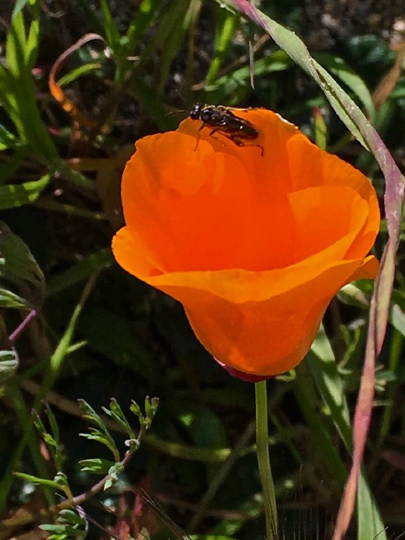
What a surprise to find a few poppies starting to open up along side the dirt road. My first poppies of the season!
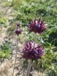
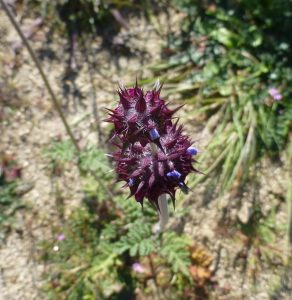
And there were a few other flowers blooming. What in the heck was this alien flower? It was not one that we recognized and when I got home, I contacted Joanna Clines, Botonist for the Sierra National Forest. She shared with us that is was chia (Salvia columbariae) and it was blooming a bit early. I learned from her that this was one of the most important food plants for many California Indians and the plants were so abundant that great quantities of nutritious seeds could be gathered.
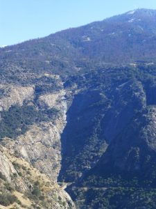
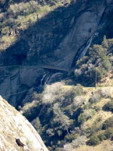
We kept on climbing up the road and finally caught a glimpse of Stevenson Falls, are what is flowing there today.Last year we couldn’t walk across the bridge below Stevenson Falls because there was so much water. This year was a whole different story.
Stevenson Creek drains out of Shaver Lake, about 5 miles upstream, and is the water source. The Falls are about 300 feet above the road and another 200 feet below the road. Sometimes the amount of water is so large that it flows on and over the bridge, resulting in this bridge being impassable. Stevenson Creek is incorporated into a hydroelectric project at Shaver Lake. Its flow is regulated, so it is not a waterfall that you can count on heavy flows after a rain. The falls hurtle around 1,200 feet in four primary leaps of approximately 380, 260, 250 and 180 feet respectively, with multiple smaller slides and cascades in between each drop.
We headed on up the road to see if we could get an even better view.
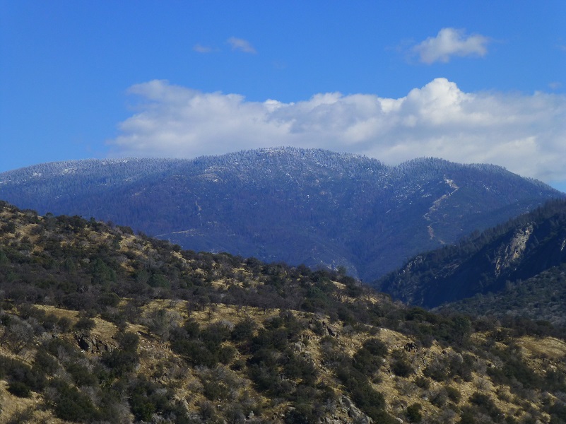
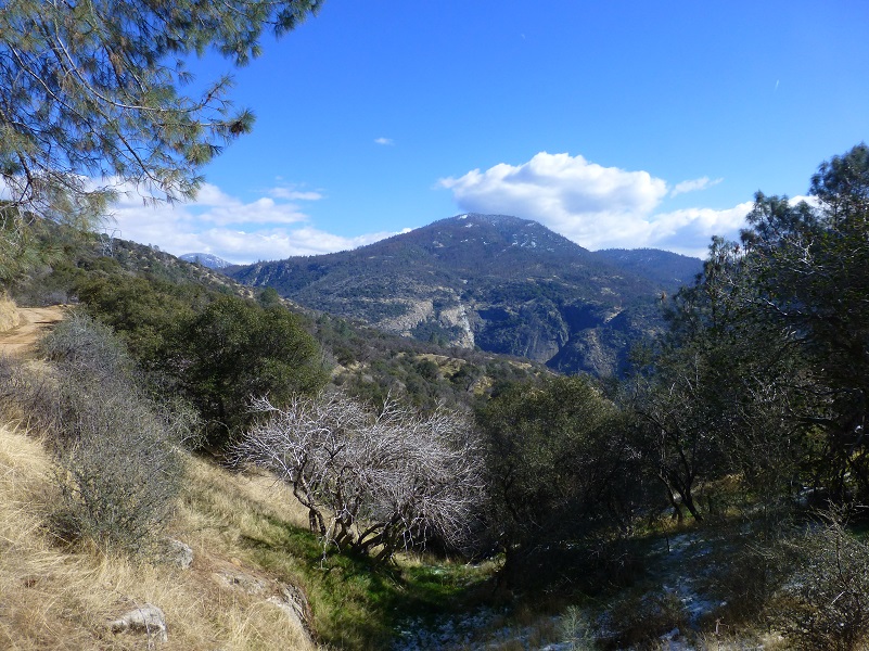
And we did get glimpses of the higher country with snow still on the trees.
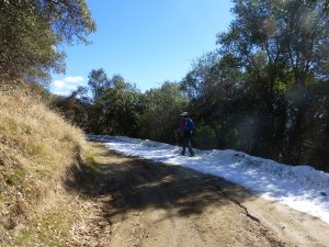
But wait, we turned a corner and at about the 3,000′ elevation, we found our own snow.
I suggested to Deb that she should make a snow angel. I think if there was an Olympic event for snow angels, Deb would have received a perfect 10.
We continued to hit snow on the road in the shady areas as we kept on climbing on the road.
The trees hid the view from us most of the time but occasionally opened up to give us a treat.
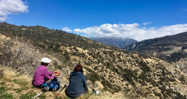
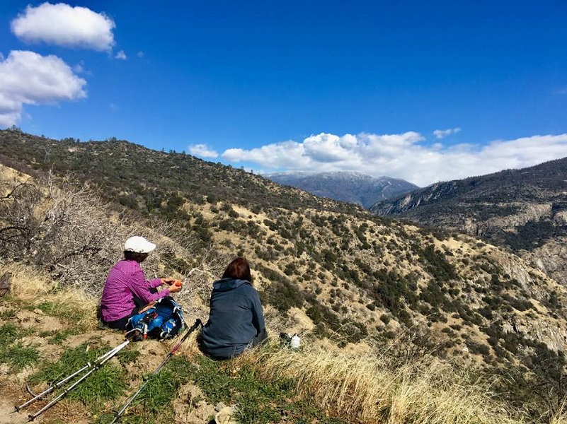
We reached a point where we realized we weren’t going to get any amazing views for a while and we were at a point on the road where we would have had to climb, so we decided to turn around and stop at one of those nice view points that we saw for lunch. It was a very nice lunch spot.
It was time for us to start heading back down the road.
As we reached the lower elevations of the road, we discovered more flowers had opened up.
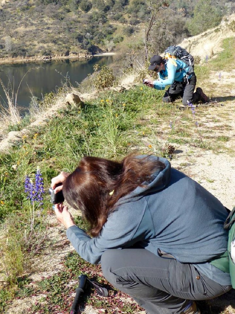
This photo was titled “Poppyratazi”!
This was the time that I had hiked up this road and it is a good one for a conditioning hike, just in case you are looking for one of these! But, this south facing slope will be get mighty warm when the weather heats up. Personally, this is not a hike I would want to do in warmer weather.
Dog Hike? Maybe
I didn’t bring Sally on this hike, but she would have been welcome on it. This hike could potentially be a good hike to take with your dog, if they are the type of dog that stays with you on the road. There is plenty of wildlife in this area. We saw bear, coyote and perhaps mountain lion tracks on the road. Cows graze in this area and this is also rattlesnake haven. There is no water for your dog so you will need to pack your own dog water.
Here are the Sierra National Forest rules for pets from their website:
Domestic pets are allowed in wilderness areas. You are responsible for their actions as well as their welfare. Pets should either be leashed or under direct voice control. When camping in areas with other visitors, pets should be kept on a leash. Wilderness visitor’s who plan to travel into an adjacent National Park should be aware that National Parks do not permit pets.
We ask the public to remember these rules when taking pets into the wilderness.
- Bury feces.
- Do not tie up dogs and leave them unattended.
- Do not allow dogs to chase wildlife.
- Leave unfriendly or loud dogs at home.
For additional information from Sierra National Forest regarding pets, please click the following link: Canine Camper
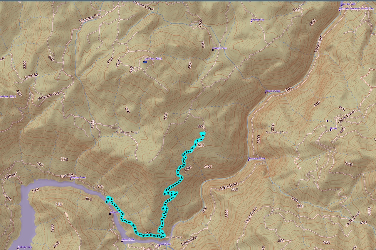
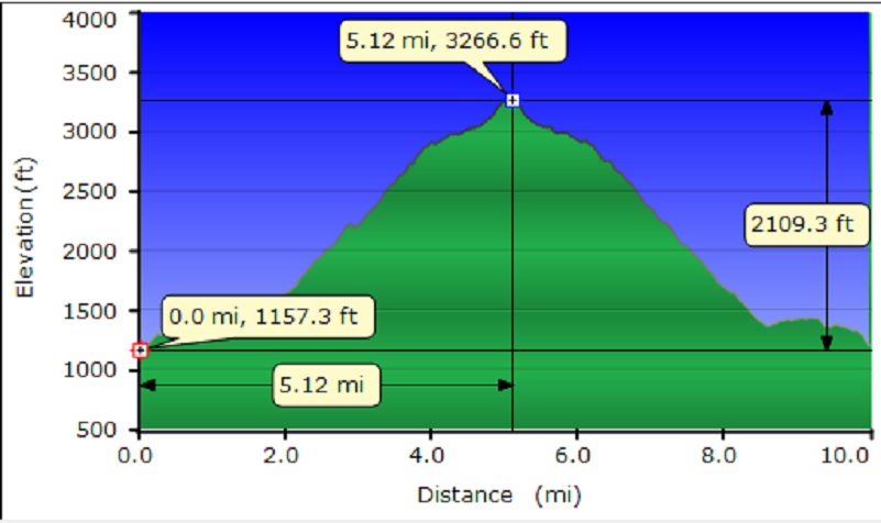
Map and Profile:
Sources:
Big Creek Hydroelectric Project Wikipedia
Prior Blogs in the Area:
Hiking to Stevenson Fall through Recent Road Washouts February 13, 2017
Hiking to Stevenson Falls February 3, 2016
Hiking up the San Joaquin River to Stevenson Falls and Dam Six February 25, 2014

