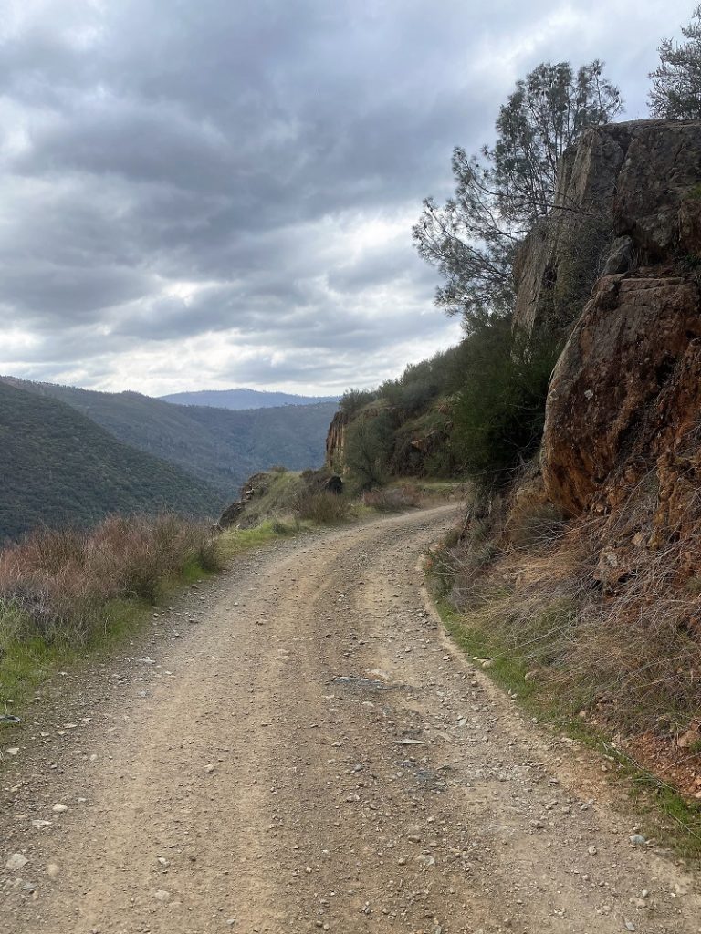
Old dirt roads led me along the Merced River, by old mines, wildflowers, views, a singing frog and the Love Shack. Starting at Briceburg, I walked up the Burma Road switchbacks then beyond.
Where: Bureau of Land Management (BLM), Merced River Recreation Management Area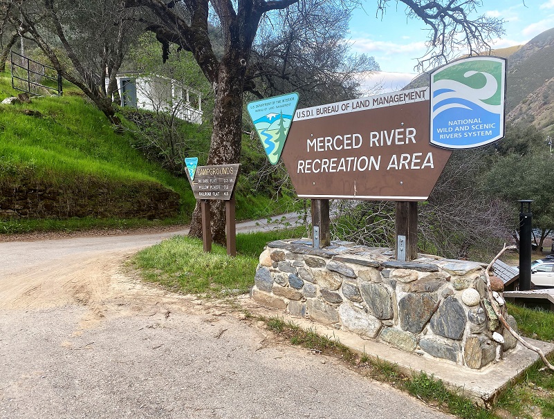 Distance: About 15 miles roundtrip but you can go shorter or longer
Difficulty: Moderate to Strenuous
Elevation Range: 1,138′ – 3,101′
Date: March 8, 2021
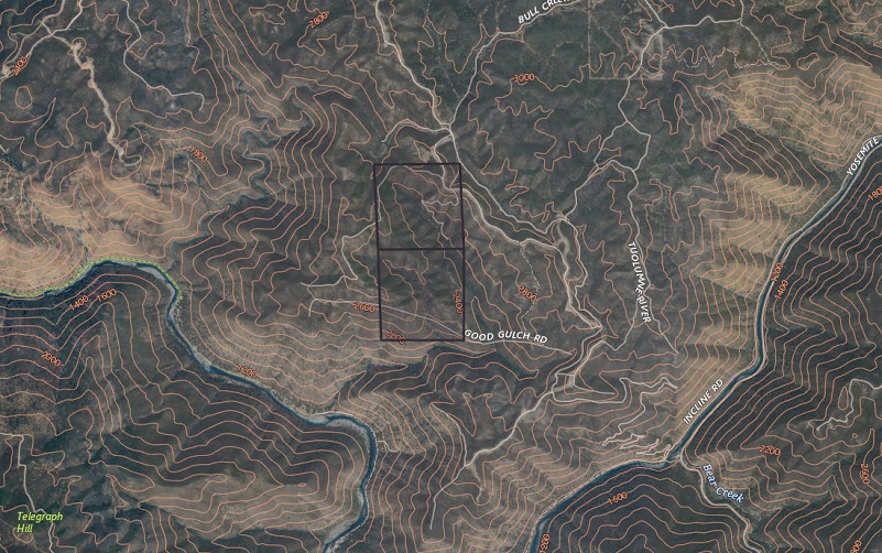
CALTOPO: Hiking From Briceburg Up the Burma Grade to Explore Old Roads and Mines
Dog Hike? Maybe
To reach Briceburg, I drove up Hwy 140 north about 15 miles from Mariposa to the Briceburg Visitor Center at the Merced Wild & Scenic River. You can’t miss the beautiful old stone building that William M. Brice, who Briceburg was named after, built in 1926 as Highway 140 into Yosemite was being built. Originally it was a general store for locals and tourist. Gasoline pumps were later added, and it also provided lodging and had a soda fountain over the years. The BLM acquired the property in the 1980’s and refurbished the building to its near-original condition to be used as a Visitor Center. The Visitor Center is currently closed and expected to reopen the first weekend of May. For more history about William Brice, check out my prior Briceburg Blog.
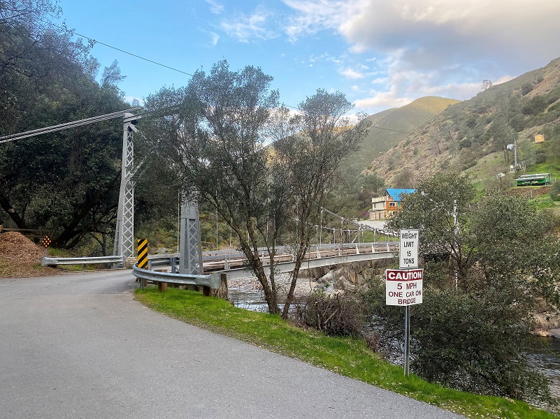 After driving by the Visitor Center, I parked in the parking area along the Merced River where the restroom is located. The National Weather Service had suggested that it would be 34 degrees when I started out but it was 44 degrees so I didn’t wear as many layers as I had planned. I walked across the suspension bridge, then started up the Burma Grade.
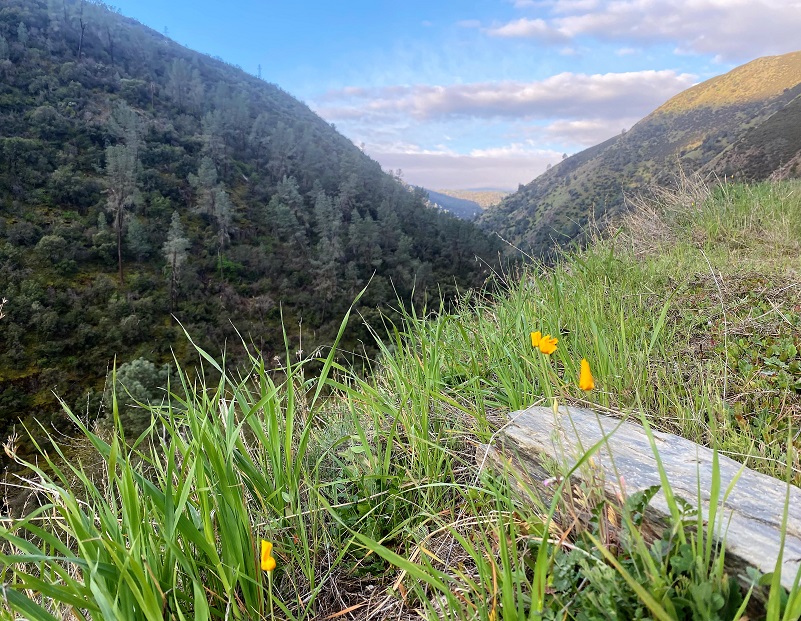
There were quite a few more poppies blooming than the previous week but the morning was early and their blooms were closed up.
The sun hadn’t made it over the hills yet.

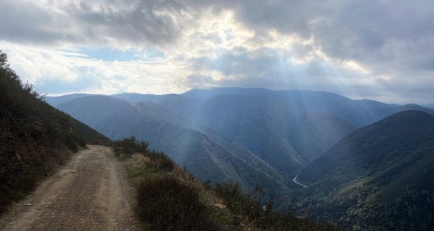
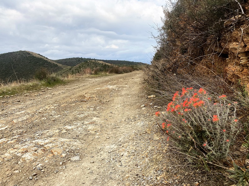
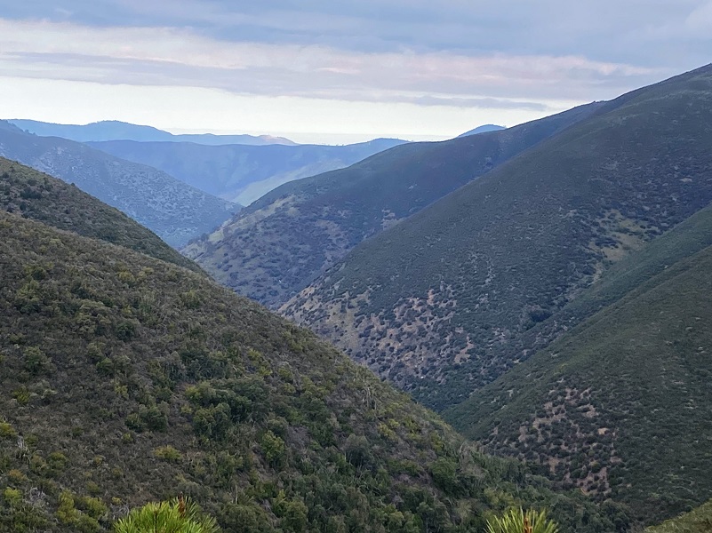
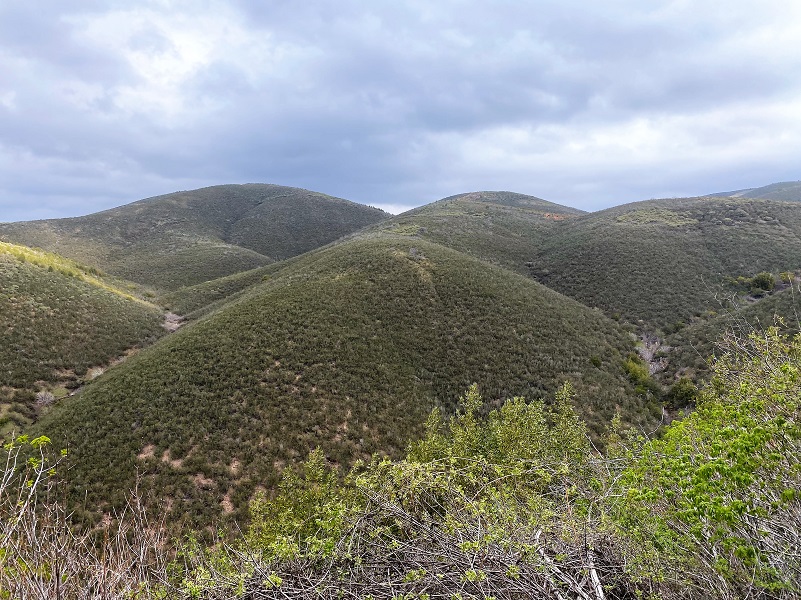
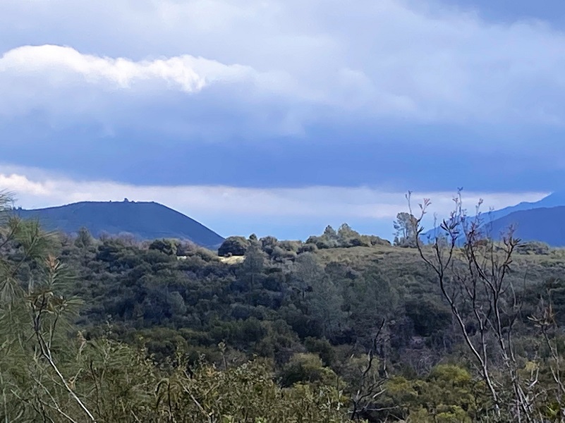
As I climbed, there all kinds of beautiful views from every switchback that the road had, and there were many of those.

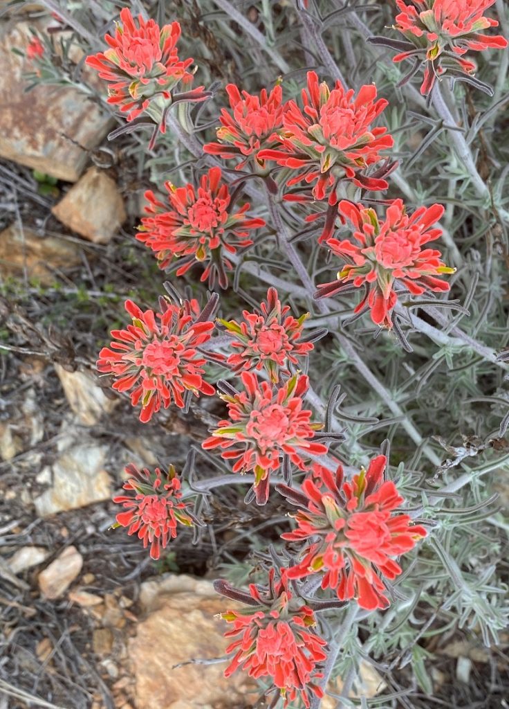
More paintbrush were also blooming.
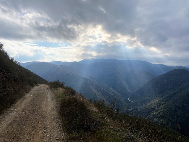
As the sun peeked through the clouds, rays of light shown down.
As I rounded the north side of the hill, the California buckeye was just starting to leaf out.

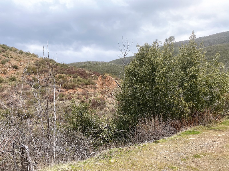
The road led through mining country and a claim was staked on about every inch of this country over time. They were looking for gold and I always think of those miners as I walk this road. What drove them to dig in the dirt and what was their life like?
As the road approached Good Gulch, I knew that this area was one of the claims and mining interests that brothers John L. and Carl Vander Karr had in this area. Their father was Rollin R. Vander Karr, born 1904 Russian River, CA and died 1973 Mariposa. He married Ethel Mildred Snyder, born 1906 Nanton, Willow Creek, Alberta, Canada and died 1981 Mariposa. They had 7 children: Ethel Belle, Richard Gay, Nettie Marie, James Edwin, Carl Aaron and 2 others.
Good Gulch Mining Claim (https://thediggings.com/mines/camc17642)
Vander Karr Mining Claims in the Goods Gulch Area (https://thediggings.com/owners/2232236)
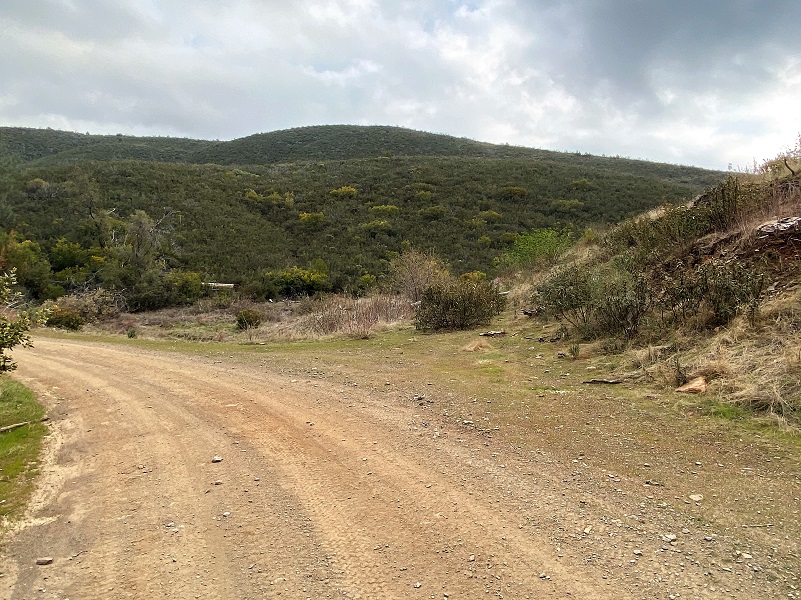
After topping out on the Burma Grade and rounding the corner, I was looking at Good Gulch, the location of the Goods Gulch mining claim and 3 other claims adjacent to it. I wasn’t sure exactly where on the hill the mine was. The old road that once led in that area had been almost erased, but not completely. I could pick up pieces of it as my eye scanned the hill.

Carl Aaron Vander Karr (From Mariposa Gazette March 3, 2017)
A big thank you to SNO readers Russ Marks, Karen Myers Shirey and Becky Vander Karr Rosenfield who connected with the Vander Karr family. Becky Vander Karr Rosenfield helped answer my questions and pointed me in the direction of a wonderful book written by her father Carl Vander Karr called If These Hills Could Talk: The Story of a Mariposa Mining Family. It is so fantastic that memories and pictures of mining in this country have been captured by this incredible family. What hard work this was and it was truly a family effort.
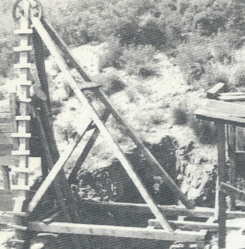
Goods Gulch Mine Headframe 1949 (If These Hills Could Talk: The Story of a Mariposa Mining Family by Carl Vander Karr)
I was able to borrow a copy from the Mariposa Country Library and with family permission, I am sharing a couple of pictures of the mine from that book.
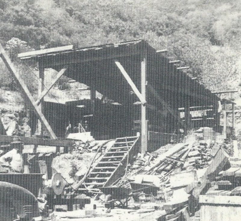
Goods Gulch Mine Blacksmith Shop 1949 (If These Hills Could Talk: The Story of a Mariposa Mining Family by Carl Vander Karr)
I can’t help wondering what life must have been like for these people who mined the area and the book has an insight into just that. Here is an excerpt from Mine Operations:
We rebuilt and operated the mine to recover the gold from the hard quartz rock. The lower shaft had to be partially timbered and the tunnel into the shaft area had to be cleaned out to help with the water drainage. The main shaft was only twenty nine feet deep and we continued to deepen the shaft with dynamite. All the waste rock as well as the good ore was brought to the top by a mechanical hoist and cable system with a large iron bucket attached to the cable. My dad and my brother, Dick, along with Jillie, Taber, and others, worked to deepen the shaft. Dad taught Jimmy to run the hoist and Jack and I took care of things on the top side. The top side included the air compressor, hoist system, mill operations, picks and shovel and of course the coffee. The most difficult task was feeding everyone and Mom was the chief cook and bottle washer. She would labor over the wood cook stove in the hot summer day with the cabin temperature over 100 degrees most of the time. It was always amazing to taste how good the hot, home made bread, would taste along with the good old beans and coffee. Dad and Dick worked the bottom of the shaft every day. The day usually started about seven in the morning We would start the forge and fire up the coffee pot for our morning break.
Dad would have Dick start the sump pump to pump out the bottom of the shaft. When the water in the shaft was too deep, we would start the gas pump in the evening and let it pump for hours to keep the water level low. Jim would start the compressor and Jack and I would make sure the hose to the air drill was free and had plenty of slack. Dick would holler on the air when they were ready to drill holes for the next round of shots. Dad usually operated the drill and Dick would spell him as needed. After four to six holes were drilled to at least four feet, they would prepare the holes for the dynamite. Our powder and caps were stored in a secure powder house two hundred yards away from the blacksmith shop. Dad would go up and bring the dynamite and caps up to the shop and prepare them with the primers and fuse. Dad would cut the first stick into thirds and poke a hole into the powder and insert the caps and fuse. He secured the cap by tying a tying around the stick several times to allow them to be extracted later if they were duds or failed to detonate.
He would first take the sticks of powder and load them one at a time. He always checked the holes for clearance with a tamping stick, poured clean sand or screened dirt in the bottom of each hole. He slowly lowered the stick by gently pushing it into the hole, add some newspaper, then another stick and the last would contain the cap and fuse. Each were firmly packed by tamping with a firm pressure, a job not for the weak of heart or one with a lack of experience. The fuses were cut at different lengths to allow each shot to explode at different times. He would light the longest fuse first and so in order and would climb to the top and wait and count each blast as it went off. He always hated it if one hole failed to go off. When that did occur, he would wait for several hours and would go into the shaft alone to dig it out. He was most cautious before anyone else could return underground. We were always afraid for him. The next day he would inspect all the side walls in the shaft for loose and hanging rocks. He always scaled the walls before going down to work the area again. Dick and Dad would start to load the big chunks and waste ore into the bucket. When full he would pull the electric horn switch which told Jim to raise the bucket with the cable hoist. They would stand clear and away from the bucket as sit went up to the top where it stopped and dumped the rock int the large ore car. Jack and I would push the ore car and dump the rock over the dumps. After four or five more buckets of waste ore came up, then they would start sending the good ore to the surface. Because of the darkness and dirty water some good ore may have been loaded into the waste ore by mistake. That’s where Mom, Jack and I would separate the good from the bad. When the good ore came up, we pushed the ore car to the grizzly which was over the large ore bunker. The large pieces would have to be broken with a sledge hammer tin order to pass through the grizzly’s iron gate. When the ore was separated and broken into smaller sizes, it would go into the Gibson Ball Mill and be pulverized to fine dust, thus, releasing the gold which was in the quartz rock. The water was added as it was processed and passed over Mercury coated copper plate. The mercury would collect the gold and when a sufficient amount was built up, we would then shut down the mill and “clean up” the profits of our labor. Dad would use a hard block of rubber to scrape the mercury and gold (amalgam) from the copper plates. Then he would squeeze it through a piece of sheep’s skin to separate the mercury and leave only the amalgam. I would fire up the forge furnace and Dad would place the amalgam in a clay crucible or “retort” and place it into the fire at high heat. The mercury would vaporize and leave this crusty hamburger like patty. We always were surprised when Dad would peel away the crusted surface. He would reveal a “gold button” as he called them. We would take it to town and sell it for cash!! Jack and I would take turns cranking that old forge. Sometimes it took hours to retort the button or to sharpen picks and drill steel. Dad would say, “are you tired yet, boys”? “Nope”, we would say, even when our arms were ready to fall off.
The book includes many stories about the family and mining in the area, also sharing the very sad story about how how a terrible accident occurred while crossing over the Merced River on a cable in 1950. The cable anchor broke while Rollin, Dick, Jim and brother-in-law Roy Hauser (Ethel Bell’s husband) were crossing the river. Rollin was found laying on the rocks. A search located the body of Dick a mile down stream. Jim and Roy’s bodies were never found.
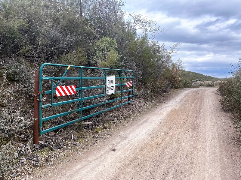 I continued through the gate which is at about the 4.5 mile mark and veered to the left, keeping on the main road.
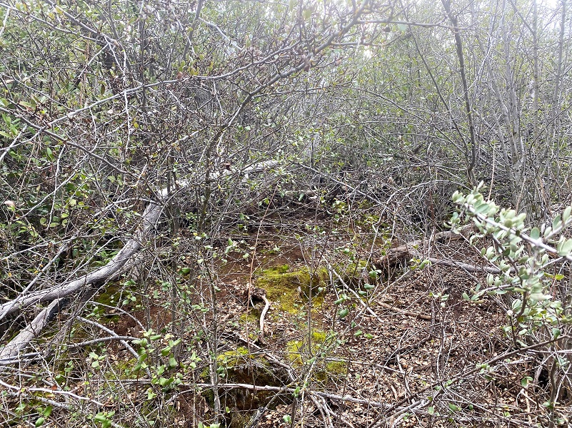
Since the morning was cool and I was walking right by the Leach Mine, I thought I would take another look, bushwhacking a bit more, to see if I could find the opening of the mine. It was pretty thick and I knew I had to be darn close but couldn’t find it. The opening could have collapsed over the many years.
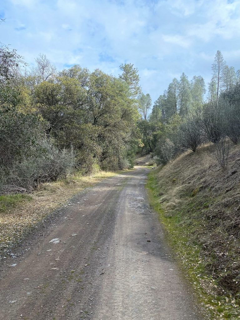
I continued on the road which was pretty level.
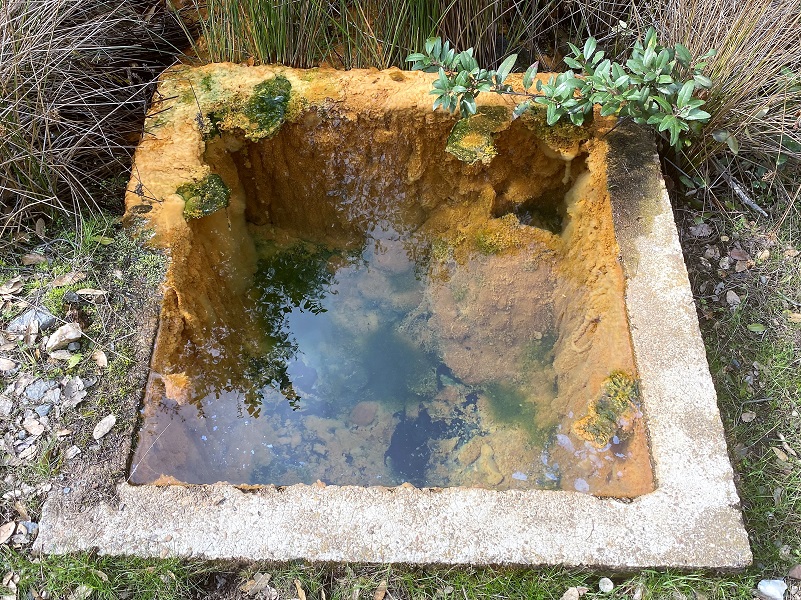
I had seen a spring on the map beside the road and it was easy to spot.
A frog was really singing up a storm in a small pool of water in the creek and I stopped to listen to him for a while. Turn your volume up and you can listen to him on this short clip.
Then I walked by this and I bet there is a story but I don’t know it.

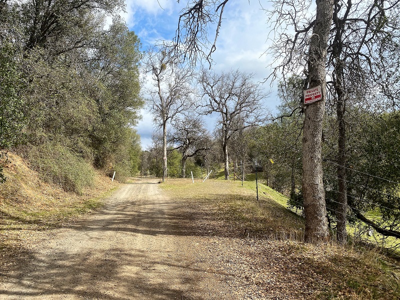
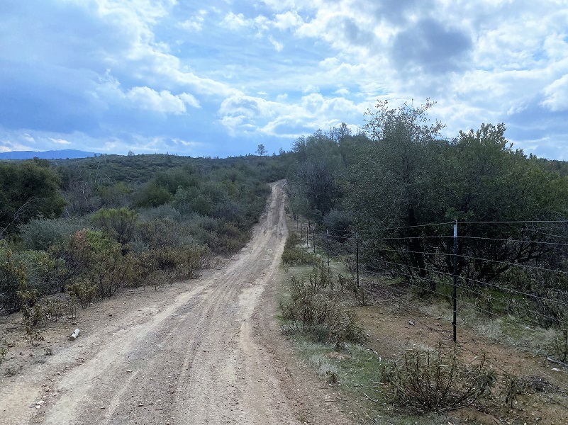
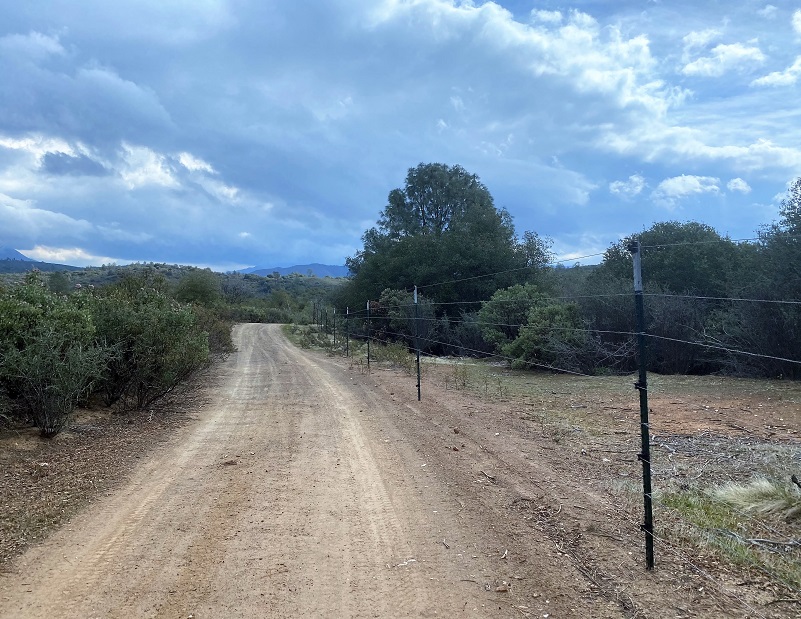
I continued on the road which had fencing on the private property along the side, then then I turned right on the dirt road that I think is Nf-3s01 .
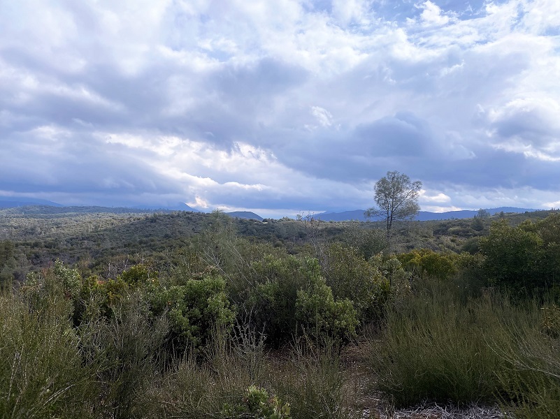
I had a couple of reasons for heading up this way. The first is that I thought I might have some slightly different views into Yosemite Valley from the ones that I saw from my previous hike a couple of weeks ago. On that hike I could see El Capitan. Maybe if I were a smidge more north, I could see Half Dome? Well, it was not to be for the clouds had banked against the hills and I couldn’t really make out the landmarks.
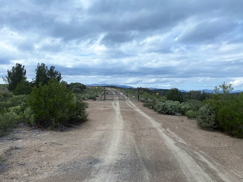
The other reason I headed up here is that I hoped I could continue walking on these roads to make a big loop. That was not to be either for there was a gate across this road which ran through private property. The gate across the road clearly read “Private Property No Trespassing.” I knew that this was a real possibility but you never know until you try.
So I turned around and headed back the same way I had come in.
I cannot thank Becky Vander Karr Rosenfield and Lynda Vander Karr enough for their help. We exchanged photos, Google Earth images and hand drawn sketch maps to help me better understand the mine location. And most importantly, she shared the wonderful book her father had written and that they had donated a copy to the Mariposa County Library. I went online to Mariposa County Library’s site, located the book and ordered it for social distanced curbside pick up the next day. The library personnel were so helpful and made the process of borrowing the book super easy.
Hiking up the Burma Grade is always a good workout but I prefer to do it on a cooler day. Early morning can reveal tracks and scat from coyote, bear, mountain lion and other critters along the way. The road is rutted and can have slides and rocks on it. To me, it is a high clearance 4WD road and that is what they recommend. I cannot share good intel on driving or biking this road and if this something you are interested in, there are blogs and websites that include detailed information related to this. I bet that once the Visitor Center is open, they can also help on that.
Dog Hike?
I did not bring Sally on this hike but she has hiked along the Merced River before the rattlesnakes had woken up. There isn’t much water along this road and you would need to pack dog water. Dog rules in this area include the following:
- Dogs must be on leash at all times.
- No dogs allowed at McCabe Flat swimming beach.
Doarama:
What is a Doarama? It is a video playback of the GPS track overlaid on a 3 dimensional interactive map. If you “grab” the map, you can tilt it or spin it and look at it from different viewing angles. With the rabbit and turtle buttons, you can also speed it up, slow it down or pause it.
Briceburg up the Burma Road Hike Exploring Old Mines and Roads Doarama
Maps and Profile:
CALTOPO has some free options for mapping and here is a link to my hike this week: CALTOPO: Hiking From Briceburg Up the Burma Grade to Explore Old Roads and Mines
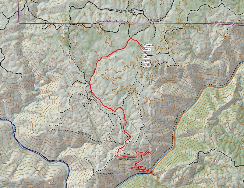
Hiking From Briceburg Up The Burma Grade: Exploring Old Roads and Mines Topographic Map
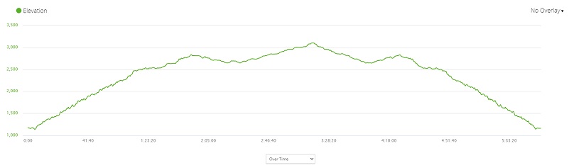
Hiking From Briceburg Up The Burma Grade: Exploring Old Roads and Mines Profile
Sources:
Vander Karr, Carl A., If These Hills could Talk: The Story of a Mariposa Mining Family, The Paragon Agency, Orange, California, 2001
Mariposa Gazette, March 3, 2016
Mariposa Gazette California Digital Newspaper Collection
Mariposa Genealogy & Historical Research Home Page
Mariposa Museum & History Center Gallery
Merced River Recreation Management Area
Prior Blogs in This Area:
Hiking From Briceburg Up The Burma Grade: Old Mining Activity and Wildflowers March 2, 2021
Hiking From Briceburg Up The Burma Grade To A High Spot With Views February 22, 2021
Hiking up Briceburg’s Burma Road January 30, 2020
Hiking up the Burma Road with Wildflowery Views April 15, 2019
Discovering Wildflowers Along the Merced River Trail Near Briceburg April 3, 2019
Discovering Wildflowers Along The Moss Creek Trail April 3, 2019
Hiking Along the Merced Wild and Scenic River with Mom February 21, 2016


