I am sure that by now, you know how much I love hiking the Tioga Pass area with my fishing pole. I headed up Yosemite’s Mono Pass Trail, a historic Native American trail, where there are also many lakes along and off this trail. Some lakes have names such as Sardine, Spillway, Helen, Kuna, Bingaman and Parker Pass Lakes and many aren’t named.
Where: Yosemite National Park
Distance: About 8 Miles (but you can go as far as you wish)
Difficulty: Moderate to Strenuous
Elevation Range: 9,596′ – 10,979′
Date: August 20, 2020
Maps: Tioga Pass, Mount Dana, Koip Peak Topographic Quads
Dog Hike? No
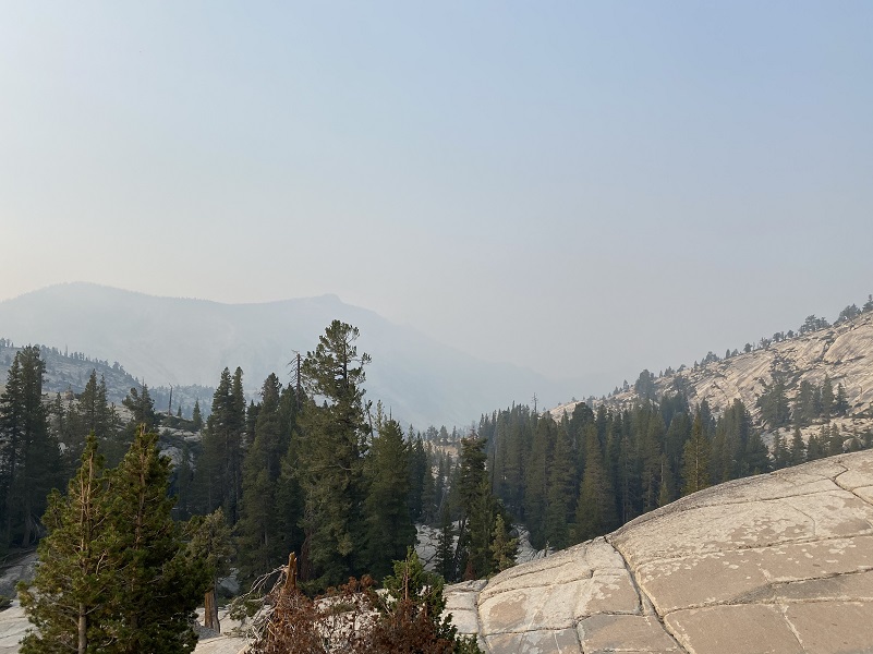
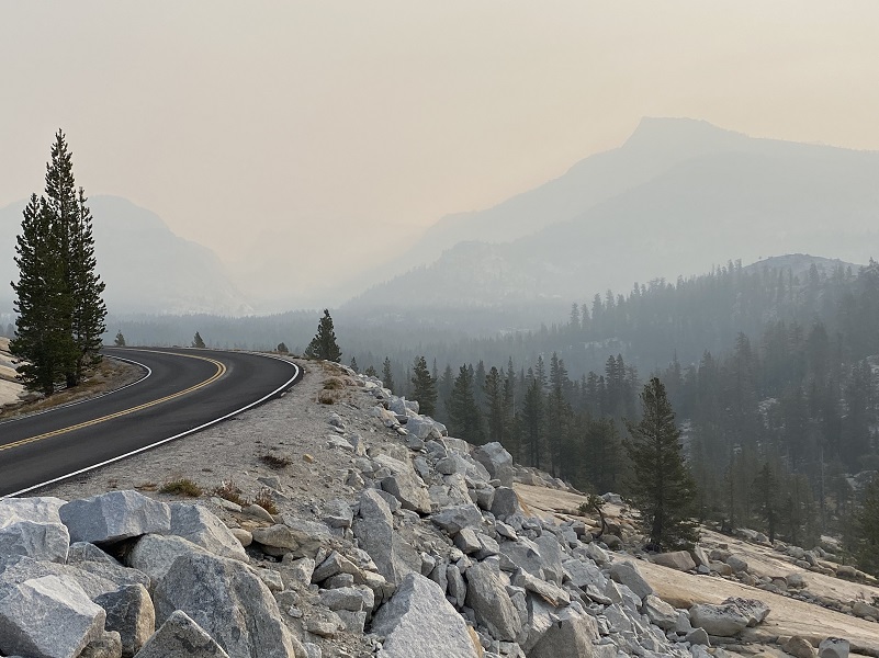
Even though it was smokey, a low was approaching California and the National Weather Service was forecasting winds in this area with some gusts up to 50 mph. I thought if those winds were to happen, they just might mix the smoke up in this area and clear things out a bit in the afternoon Not clear, clear things out some. I was going for it. It was smokey when I left the house that morning and I made a quick stop at Olmsted Point on my way over to capture a couple of famous view pictures. The first one is of Cloud’s Rest and Half Dome. The second one is the first look you get of Tenaya Peak from Olmsted Point.
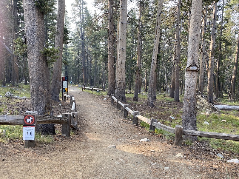
I parked my car at the Mono Pass Trailhead, about 5.6 miles east of the Tuolumne Meadows Campground and 1.4 miles south of Tioga Pass, used the restrooms there and stashed my stuff in the bear box.

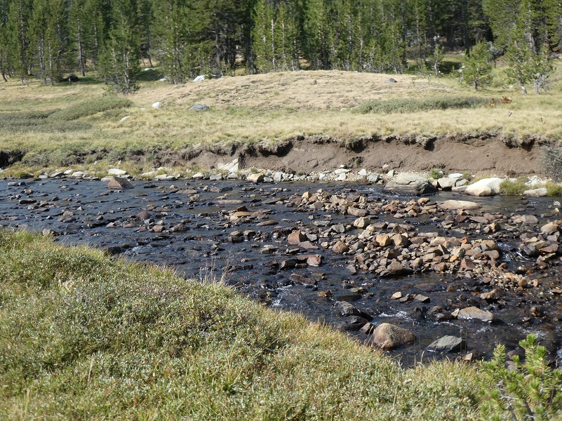
There is a creek crossing toward the beginning of the trail where the trail crosses Dana Fork. Early in the year, it can be a bit high and you might need water shoes or luck out and locate some logs to cross over. The water was low enough when I hiked it this time that I was walk across on the rocks.
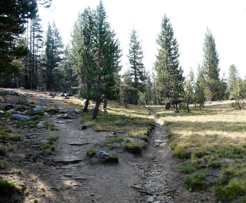
Then I headed up the trail.
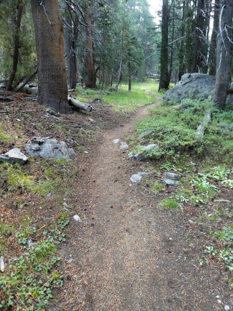
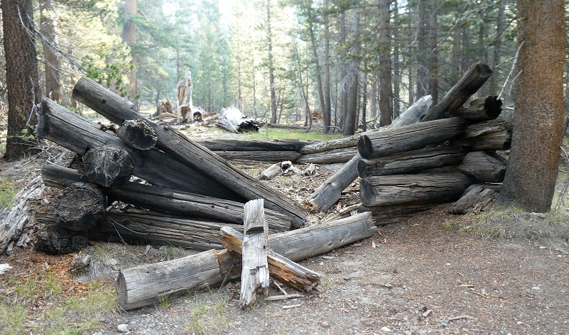
The Mono Pass Trail has a ton of history, the earliest historic use being an important Native American trail. The trail was also used by miners searching for gold and silver from the 1860’s to 1890’s or so. A few cabins were located along the trail to the Golden Crown Mine and Bloody Canyon, but only one of them remains until you get to the cabins of the Golden Crown Mine.
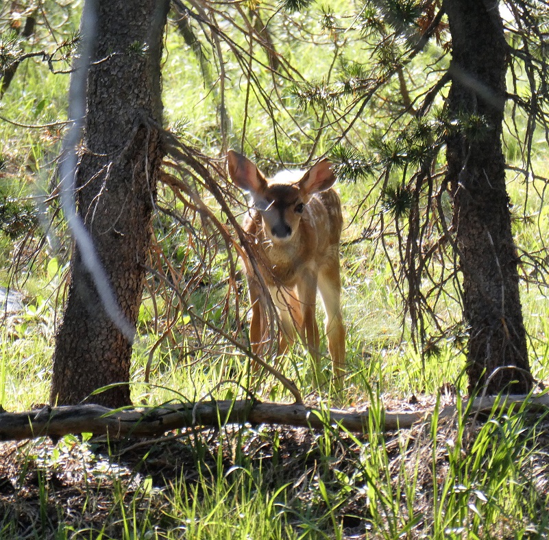
Quite a few deer were along my travel route today and this little one still had some spots.
I reached the junction with the trail that goes to Bloody Canyon via Mono Pass. If you head to the left, the trail will lead you to the Golden Crown Mine, established in 1879 by Orlando Fuller during the Tioga silver boom that also produced Bennettville and the Great Sierra Mine near Tioga Pass. Around 1890, the mines were abandoned. If you stay to the trail on the right, it will take you to Spillway Lake. I chose to leave the trail and wander cross country to the west.
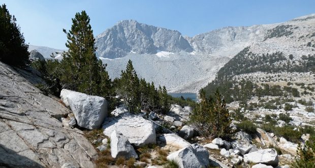
Before I crossed Parker Pass Creek, I looked toward where Helen Lake would be nestled in the mountain with the smokey, hazy sky.

I was able to cross the creek easily on the rock path without getting my feet wet. Earlier in the season when the creek is flowing heavier, water shoes might be a good item to carry with you.
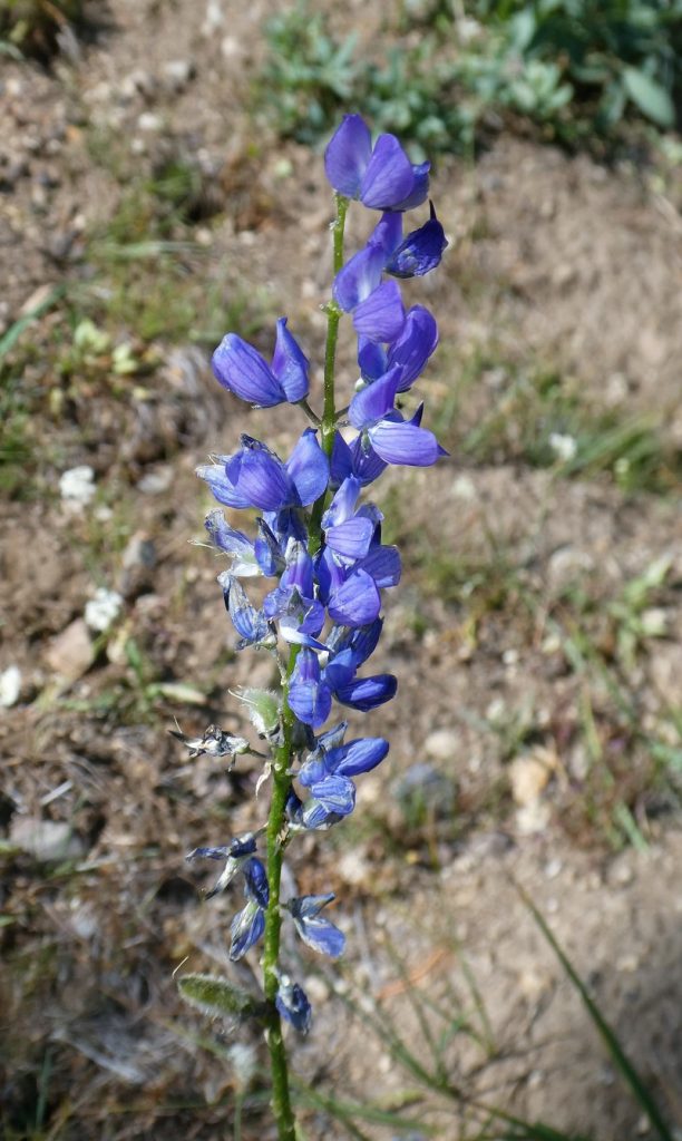
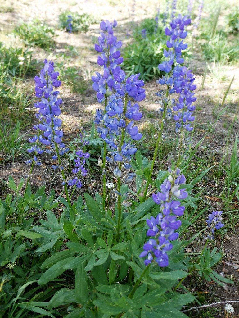
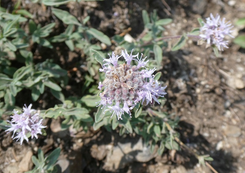
As I headed up on this late August day, I noticed that there were quite a few flowers still blooming.


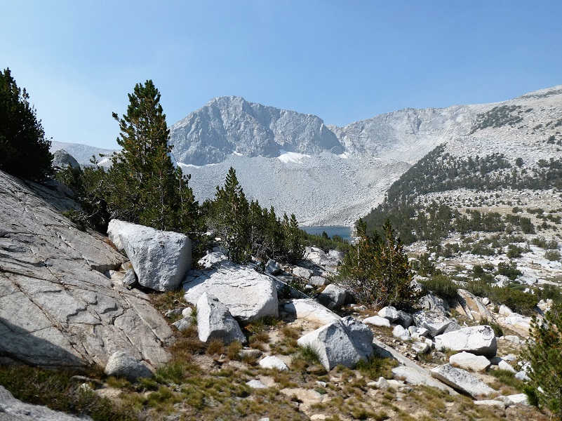
When I reached an opening, I took a look toward Mono Pass, pretty smokey but sure not even close to how Olmsted Point was this morning.

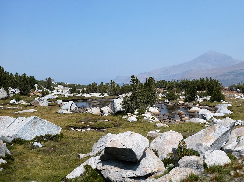
I wandered along part of the creek that feeds out of Kuna Lake.
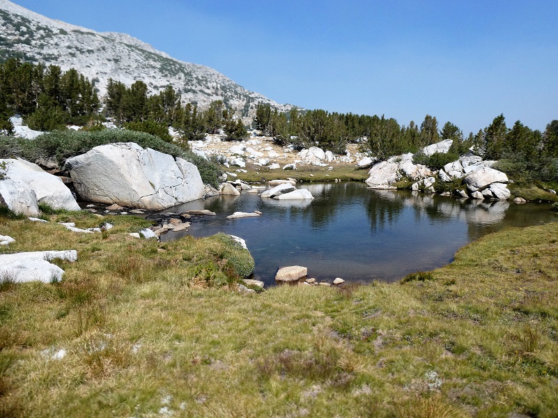
Then I headed over to check out Kuna Lake (10,794′ elevation). Wikipedia says that the word Kuna probably derives from a Shoshonean word meaning “fire,” which appears in the Mono dialect of the area, with a meaning of firewood.

I wandered down the hill a little different way, coming across a small tarn with water still in it but that water could have come from recent thunderstorms.
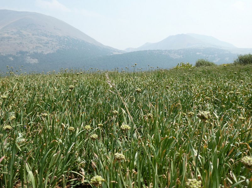
Fields of wild onions sported a smokey frame for Mono Pass.
I saw about 4 small groups of people on the trail portion, all but one wearing masks when they encountered people. When I mention masks, they included actual masks, neck gators and bandanas. BTW, I have one with me and leave the trail and wear it when around people. I did a little bit of fishing along my way and did catch a few brook trout. My hike had a bit of smoke and I couldn’t see those bright slue skies, but it was sure better than it was at the house. All in all, it was another great day of hiking.
I didn’t share a detailed track on the topographic map on this hike because I really wandered around where I was drawn to, most of it off trail. If you decide to head off trail, bring your map and GPS. I don’t want you to get turned around and find yourself wandering out there for days. I also carry an InReach Mini with me just in case. There is plenty to see in this area and you don’t need to hike too far to see something beautiful.
Dog Hike? No, dogs are not allowed on this trail in Yosemite National Park.
Doarama:
What is a Doarama? It is a video playback of the GPS track overlaid on a 3 dimensional interactive map. If you “grab” the map, you can tilt it or spin it and look at it from different viewing angles. With the rabbit and turtle buttons, you can also speed it up, slow it down or pause it.
Mono Pass Kuna Crest Trail Doarama
Map:
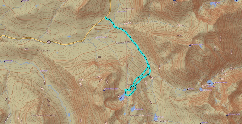
Mono Pass Trail High Lakes Topographic Map

Mono Pass Trail High Lakes Profile
Prior Blogs in the Area:
Adventures with Candace: Hiking Up Yosemite’s Mono Pass Trail July 7, 2020
Wandering up Yosemite’s Mono Pass Trail August 14, 2019
Hiking up to Bingaman Lake on a Chilly Day November 8, 2018
Hiking along Yosemite’s Mono Pass Trail August 15, 2018
Hiking up to Mono Pass Trail’s High Lakes August 25, 2017
Exploring High Lakes Above the Mono Pass Trail July 28, 2016
Hiking and Fishing High Lakes along the Mono Pass Trail August 14, 2013
Sources:
Mono Pass Trail Yosemite Hikes
Pathways: A Story of Trails and Men (1968), by John W. Bingaman
The Ahwahneechees: A Story of the Yosemite Indians (1966) by John W. Bingaman
The above two books by John W. Bingaman were digitized by Dan Anderson, September 2004, from a copy in the UCSD Library. These files may be used for any non-commercial purpose, provided this notice is left intact.
—Dan Anderson, www.yosemite.ca.us

