Sally and I searched for the footprints that miners made in the Tioga Pass area long ago. We found a few of them but also discovered beautiful reflections in high lakes and caught a few trout while we wandered in the high country.
Where: Hoover Wilderness
Distance: 8.74 Miles
Difficulty: Moderate
Elevation Range: 10,094′ – 10,524′
Date: September 7, 2016
Maps: Falls Ridge Topog
Dog Hike? Yes
Sally and I headed out for a few days of camping at Saddlebag Campground in the Tioga Pass area. We headed east on Tioga Road, past the eastern entrance to Yosemite to Saddlebag Road, then drove up it to the end where the sign led us to the Saddlebag Campground. We hiked and fished for 4 days and I want to share one of those days with you.
I have been fascinated with the mining that occurred in the Tioga Pass area. It is tough country but some tough miners saw their dreams in this country, digging for what they hoped with be a wealth of gold and other minerals. Very few paid off and today, there are very little signs of those mines but if you look hard enough, you will find them. That is one reason that I explored this country on this day, to discover more of the claims associated with the Tungsten mine known as the Hess Mine. I won’t go into a lot of detail on the Hess Mine but you can read more about it on an earlier blog that I wrote linked at the end of this blog. I also wanted to try my luck at fishing some of the small lakes along the way.
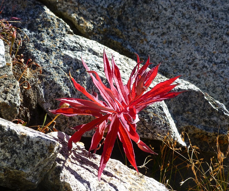
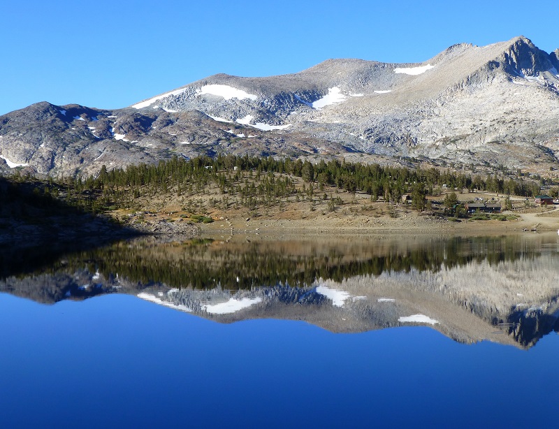
As we headed up the trail that followed the east side of Saddlebag Lake, frost still lingered on the ground in places and some of the vegetation was sporting fall colors.
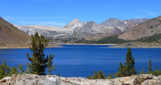
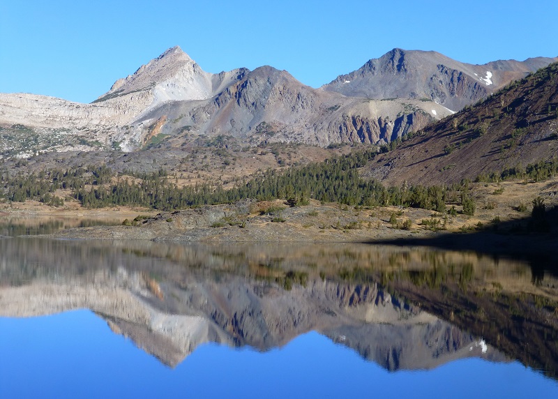
 The early morning reflections on Saddlebag Lake were unbelievable!
 I could look back toward Saddlebag Lake Resort and to the campground on the hill to the left of it.
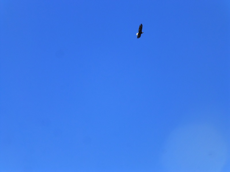
 Sally and I continued toward the upper end of the lake, watching an eagle make circles above the lake. Little could I imagine that the next day I would see this same eagle dive in front of me while I was fishing and bring up its own fish.
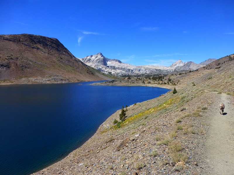
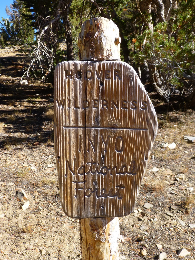
 We followed the 20 Lakes Loop Trail, starting on the east side of the loop as it entered into the Hoover Wilderness.
 I had been wanting to explore the middle part between the 20 Lakes Loop Trail, so before I got to Hummingbird Lake, I headed cross country to the west, visiting a small unnamed lake that showed up on the topog map.
 We then headed up to Z Lake where I could see small fish surface feeding so I got out my pole and gave it a try. No luck here but the fish were pretty small, 6 inchers or so. If you look at the topog map at the end of the blog, you can click on it, expand it and see a better perspective on how Z Lake got its name. It really is shaped like a Z!

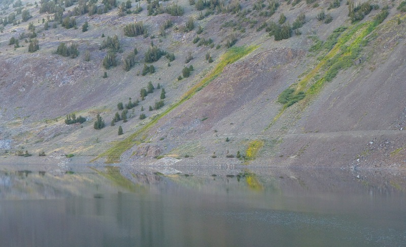
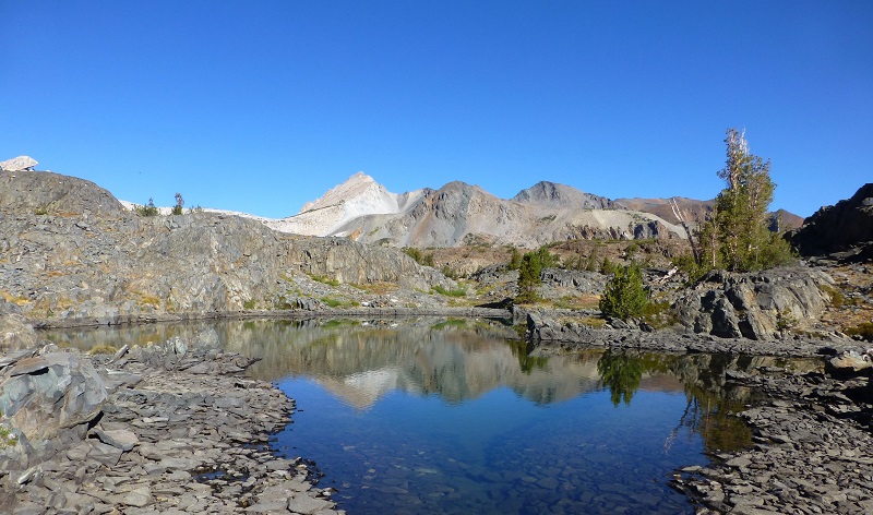
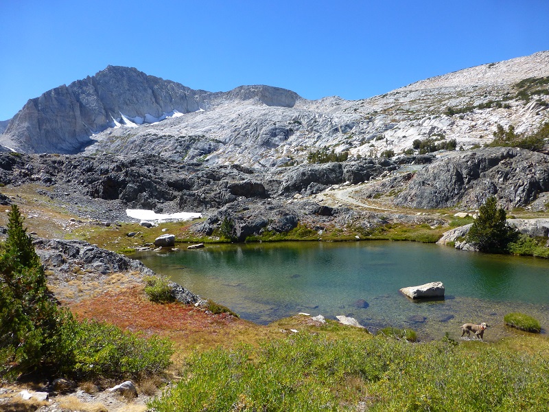
 Sally and I came across a few small, unnamed lakes or tarns along the way. Most of them had dried up but some still help water and reflections.
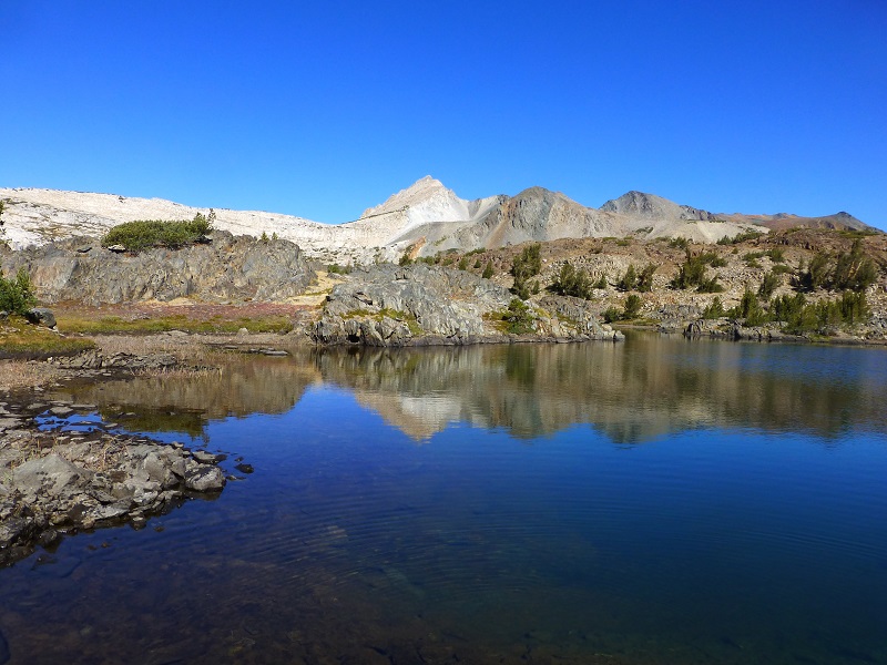
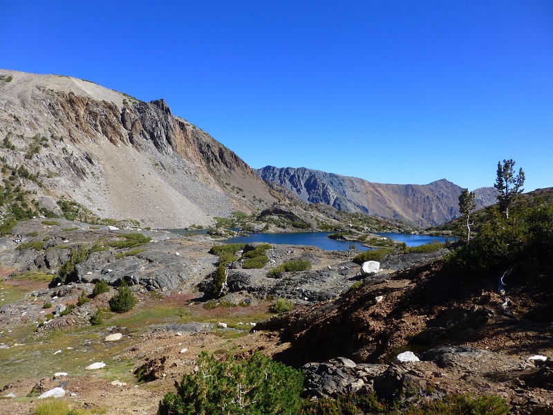
 I got up on a high point and could see Shamrock Lake, but wanted to work my way around the west side of this hill because I had seen what looked to me like some old roads that could have a fairly nice approach down into the south side of Shamrock Lake.
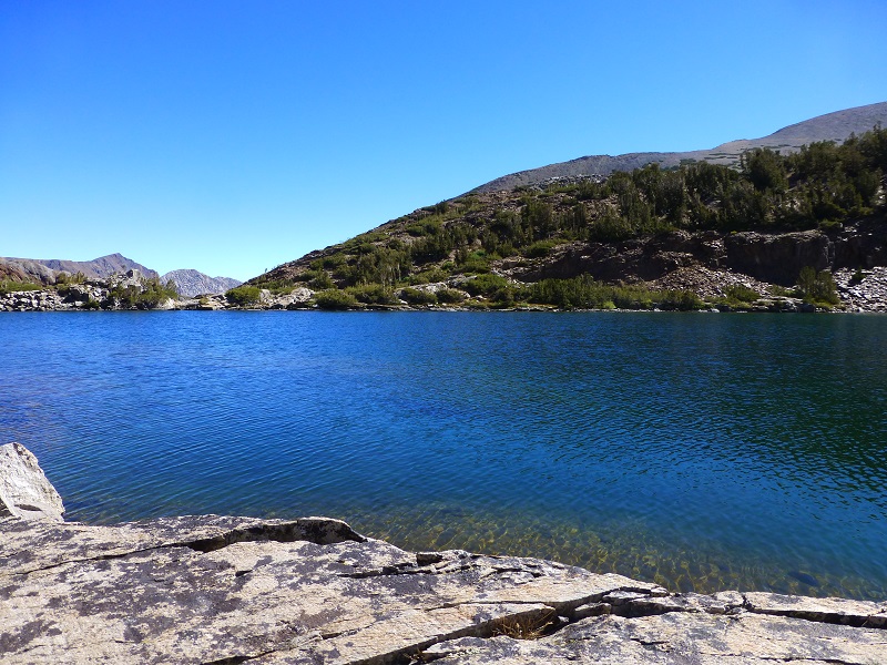
 My plan worked like a charm and Sally and I found a nice flat rock to fish from and have our lunch. I limited out fairly quickly, a mix of 8 to 10 inch Rainbow and Brook trout.
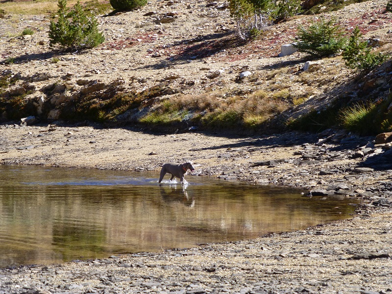
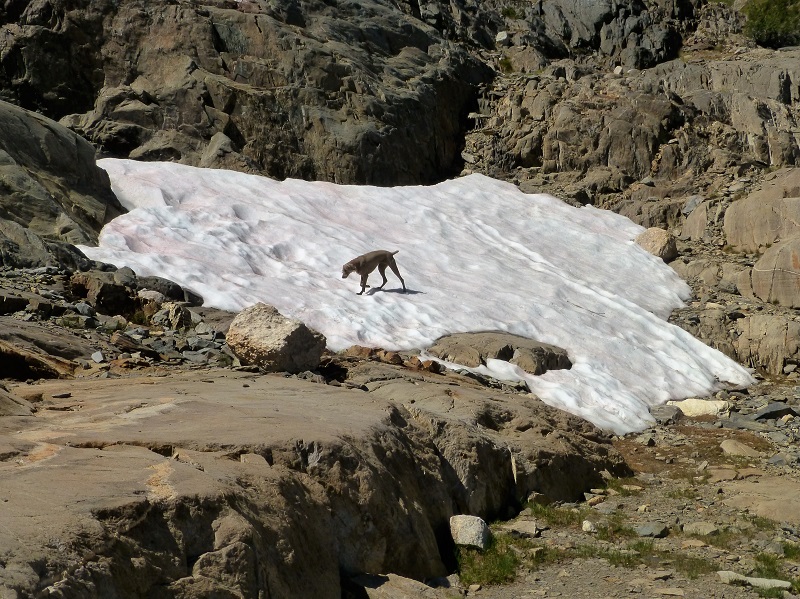
 After lunch I headed over to where those hints of old roads were to check things out closer. Sally found some snow to play on.
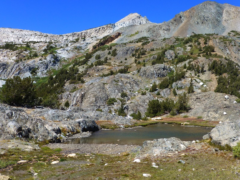
 I could see what appeared to be some old diggings that I think were associated with the Hess Mine, a Tungsten Mine at the north end of Steelhead Lake. In 1942, The Reno Evening Gazette reported that 25 different claims were included in what is known today as the Hess Mine. It is said that it closed in 1962 and I followed what I believe were old roads associated with those diggings, 3 of them close together. I didn’t see any evidence of a holes in the ground and it looked to me as if they had mined into the side of the hill in these places, removing rock elsewhere for processing. As I headed lower, the road systems became clearer and tied in with the old road that follows along the east side of Steelhead Lake and up to the old Hess Mine. If you look closely at the next 3 pictures, you can see the remains of the old road that I followed. It is really more a “use road” that equipment utilized related to the diggings. The second picture shows part of the diggings on the left side.
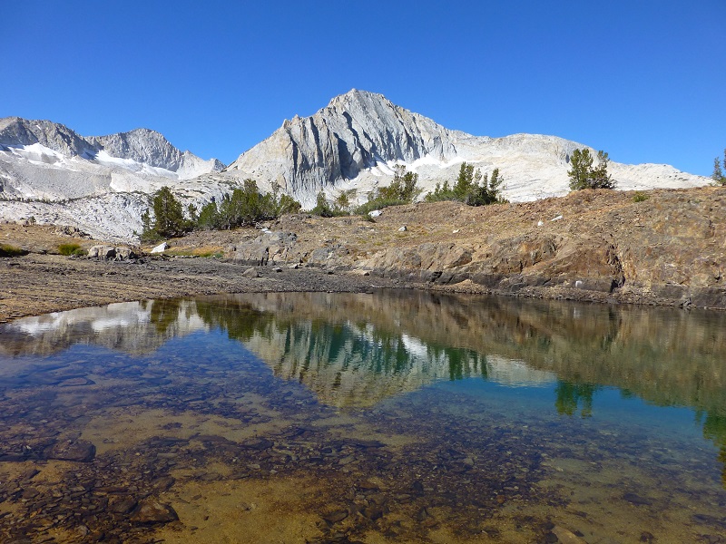
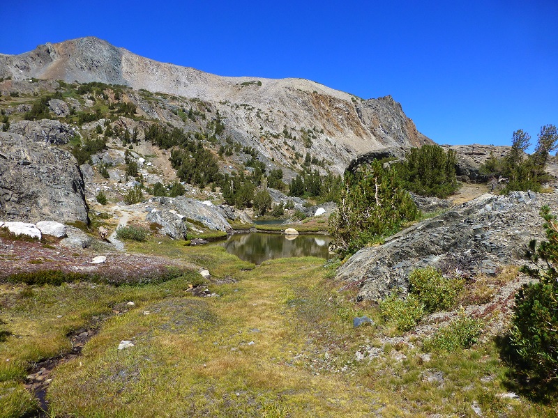 We left the trail south of Steelhead Lake, heading cross country back east, moseying our way down the hill. I couldn’t believe that I still found some tarns in September with water still in them.
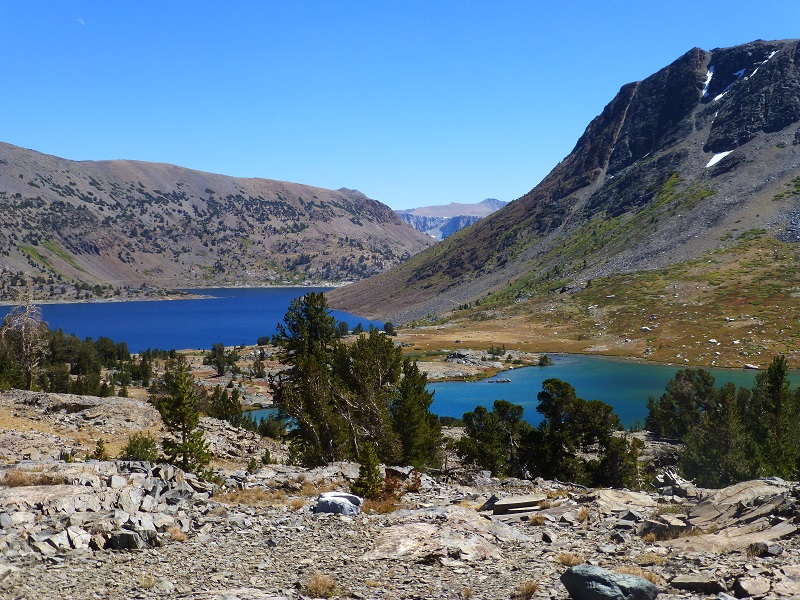
 As we got closer to Saddlebag Lake, with Greenstone Lake on the right, I found my way back to the trail along the east side of Saddlebag Lake.
 Sally and I had a wonderful adventure, getting some exercise while figuring out a little bit more about the mining history of the area. Bringing home some fish was also pretty nice!
Map and Profile:

Saddlebag Lake to Z & Shamrock Lakes Topographic Map
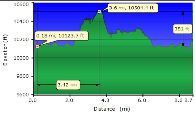
Saddlebag Lake to Z & Shamrock Lakes Profile
Dog Friendly?
This area can be a great place to hike with your dog, if your dog is a good fit. The rocks in this area can be tough on a dog’s feet, wearing the paw pads down, with the possibility of slicing them. I carry boots with me when I bring Sally, just in case she gets too much wear or an injury to her foot. The water sources that a dog can access are good year round. This is an area that has Bubonic Plague, so need to keep your dogs away from squirrels and rodents. Below are the dog rules for the Hoover Wilderness:
- Dogs are allowed in the Hoover Wilderness, but are not allowed in wilderness areas in adjacent national parks.
- Pet food must be stored to the same standard as people food. In areas where use of a bear resistant food storage container is required, pet food must be stored in your container.
- Leashes protect dogs from becoming lost and from wilderness hazards such as porcupines, mountain lions, and sick, injured or rabid animals.
- Unleashed dogs may intimidate other hikers and their dogs, depriving them of a peaceful wilderness experience.
- Unleashed dogs may harass, injure and sometimes kill wildlife.
- A leashed dog’s keen senses can enhance your awareness of nearby wildlife or other visitors.
Prior Blogs in the Area:
Hiking with Sally and Raven from Saddlebag Lake to Conness Lakes July 6, 2016
Hiking with Sally in the 20 Lakes Basin July 12, 2016
Hiking with Sally up to the Hess Mine in the Tioga Pass Area October 26, 2015
Fishing with Sally at Saddlebag Lake September 10, 2015
Hiking with Sally and Raven to Conness Lakes June 24, 2015
Sources:
Saddlebag Lake Resort Home Page
Saddlebag Campground, Inyo National Forest
Reno Evening Gazette, January 10, 1942, Reno, Nevada

