A short drive and a short hike gave me the outdoor break that I needed from working around the house and yard. I headed down the hill to hike along Hensley Lake, a rolling, hilly hike in the greening foothills.
Where: Hensley Lake, Army Corps of Engineers
Distance: 5.39 Miles
Difficulty: Easy to Moderate, depending on how far you go
Elevation Range: 541′ to 746′
Date: January 13, 2020
Maps: Daulton Topographic Maps
Dog Hike: Maybe
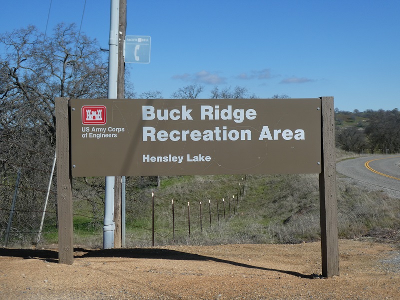 I drove down from the Ahwahnee/Raymond area, heading east on Road 603 then north on Road 400 to the Buck Ridge Recreation Sign on the left, driving down that road a short distance. You should stop at the self-service Entrance Station to obtain your entrance ticket where they have a self service kiosk. You just insert your money and get a stub to display in your window. You can purchase a One-day Pass for $5, a Day Use Shelter for $30 or an Annual pass $40. An America the Beautiful Pass includes the Corps of Engineers locations such as Hensley Lake. If you have a Lifetime Senior Pass, that will also get you in without additional fees. I had a pass with me so used that.
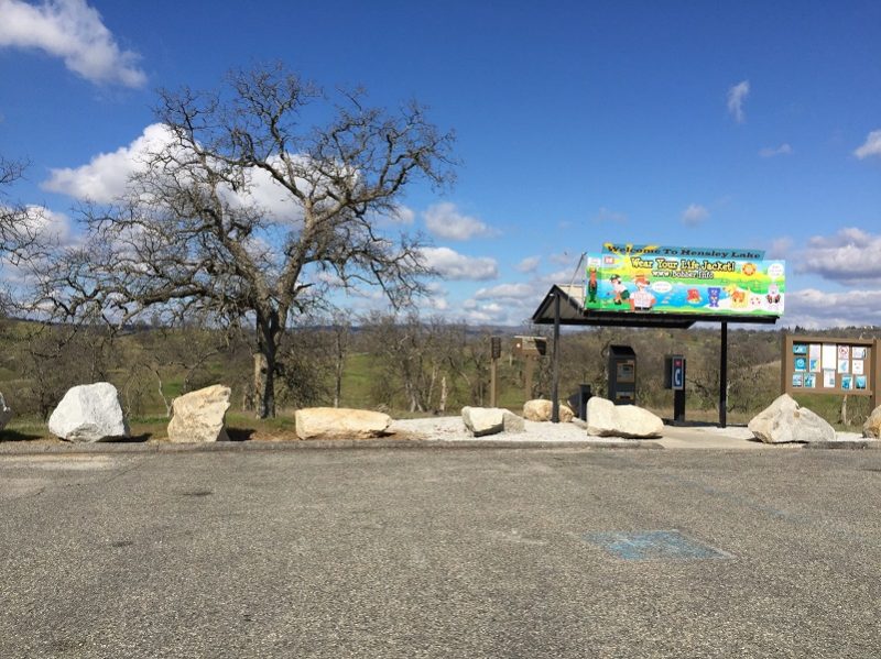

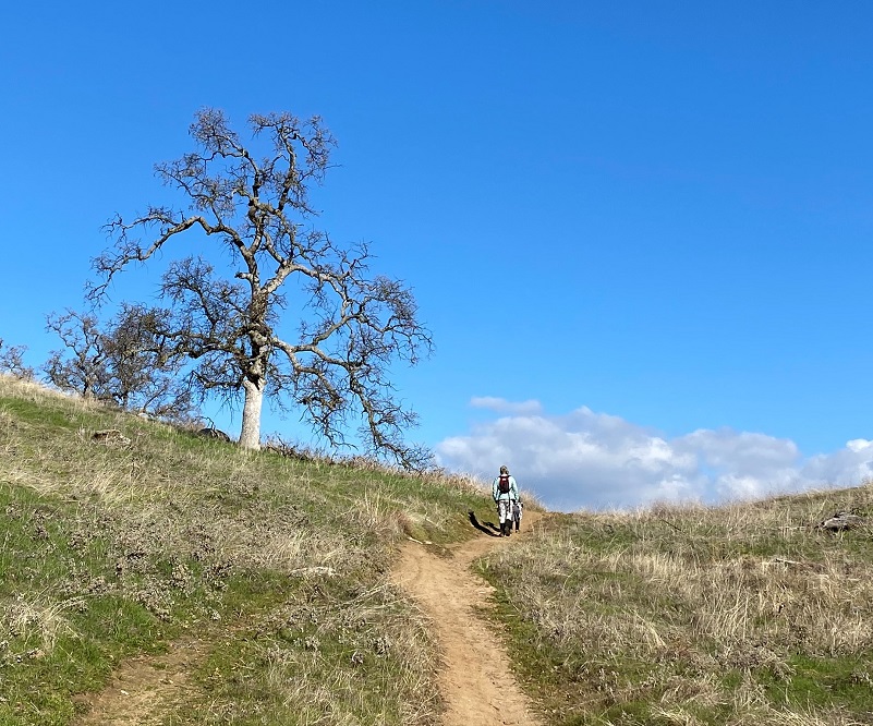
The Buck Ridge Parking area is a short distance past the self service kiosk and has a restroom. It is a shared use trail among bikers, hikers, runners, and horses. I met up with a friend at the Trailhead and couldn’t believe that we were the only cars in the lot. The great thing about this trail is that you can go out one way, come back another or take one of the many connecting trails between the two to create a diversity of adventure.
There is a ton of history in this area. Long before Hensley Lake was created, this Fresno River basin used to be home to the Miwok and Yokuts people. If you look closely, you may locate some of their grinding holes where they prepared food. The Buck Ridge Recreation Area at Hensley Lake is also the location of the grave of Major James D. Savage. You may recognize his name from his involvement in the Mariposa Indian Wars or from his trading posts in the area. Although he didn’t die here, he operated a trading post nearby and his remains have been moved a few times to their current resting place.
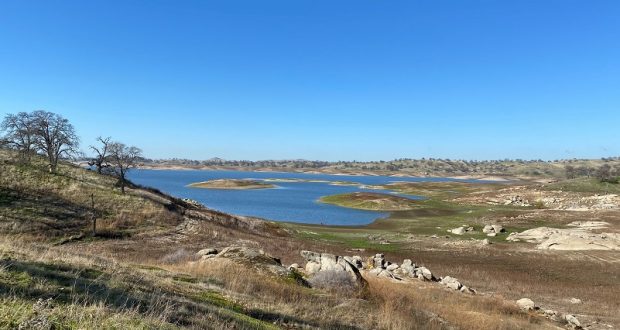
1,500-acre Lake Hensley was created by the construction of Hidden Dam on the Fresno River. It was built in 1974 by the Perini Corporation as part of an expansive United States Army Corps of Engineers project for flood control, irrigation storage and recreation. The dam is 163 feet high, 5,730 feet long and has a capacity of 90,000 feet of water.
You might be wondering how Hensley Lake got its name. Well, it is named for local settler and cattle rancher John Jackson Hensley, born 1816 in Franklin County, Missouri and died 1902 in Dennis, Madera County. You can read more about the history of this family in my prior blog.
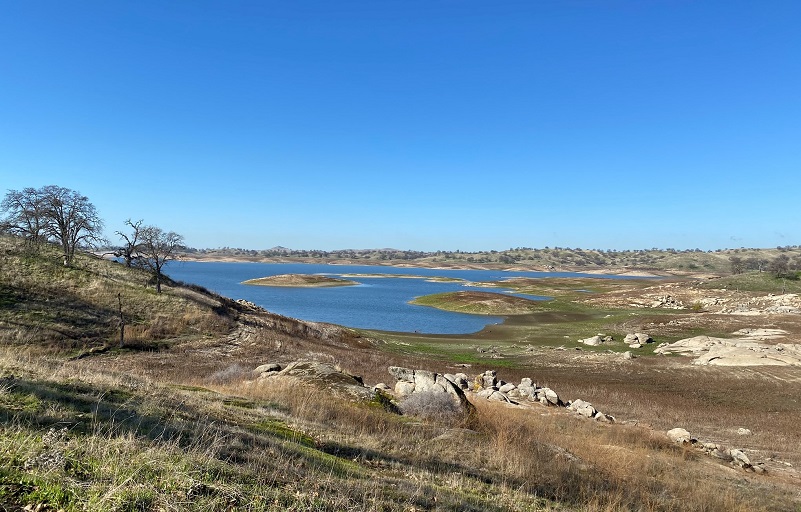
We hiked along the outer loop of the trail on the way out, making out animal tracks on the trail. Even from that outer trail, it was clear that the lake level was pretty low. There are some spots of the trail that cross low areas and small creeks where it can get a bit wet or boggy but those spots were pretty dry and easy to cross for us on this day.

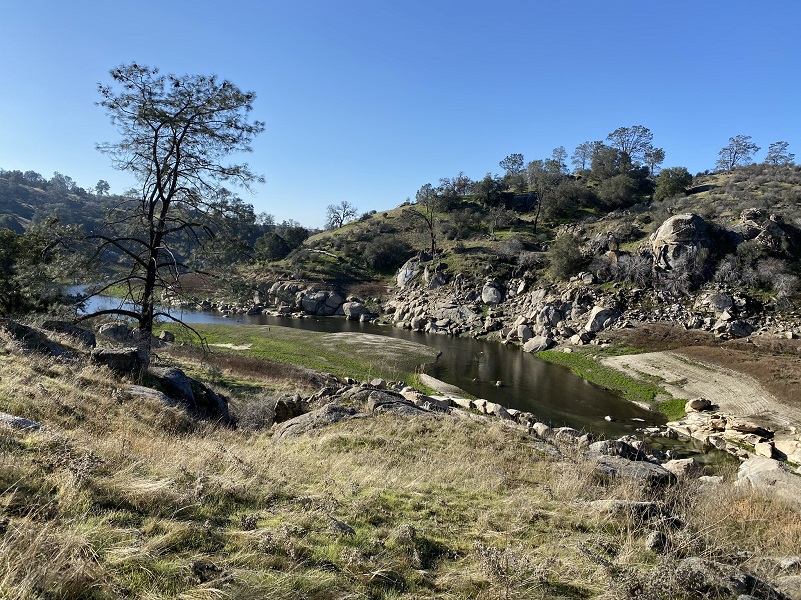
As we reached the upper end of the trail, we were a bit closer to the Fresno River and could see some pretty reflections.
Sometimes I head down toward the river and eat lunch or a snack but we moved quickly, not stopping except to admire a view or snap a picture.

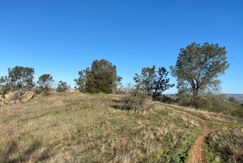
We left the trail a bit in areas to head cross country to a knob to check out the view but were back on the trail as we got closer to the car. It brought a smile to my face to see a youngster and their big person hiking buddy hiking.
We could hear the geese honking before we spotted them basking next to lake as we rounded the final bends. We moved quickly on our hike and it just took us a couple of hours. This hike can be especially beautiful when the wildflowers are blooming but can also be a hike that you can do on a nice winter day to just get out like we did.
Dog Hike? Maybe
Dogs are welcome here on leash. I have not brought my dog Sally on this hike but I did bring my prior dogs Rosa and Tyrza here. The trail crosses Rattlesnake Creek and I would bet big money that the creek received its name for a good reason. There are plenty of rattlesnakes in this area when the weather starts heating up. There are also many other wild animals living in this area so you want to have control of your dog. I saw bobcat and coyote tracks, along with many others on the trail. I think this could be a good dog hike earlier in the year. Later in the year it can get pretty hot and you may need to pack dog water or head down to the lake periodically. You can check out the link below for more rules and information.
Doarama:
What is a Doarama? It is a video playback of the GPS track overlaid on a 3 dimensional interactive map. If you “grab” the map, you can tilt it or spin it and look at it from different viewing angles. With the rabbit and turtle buttons, you can also speed it up, slow it down or pause it.
Map and Profile:
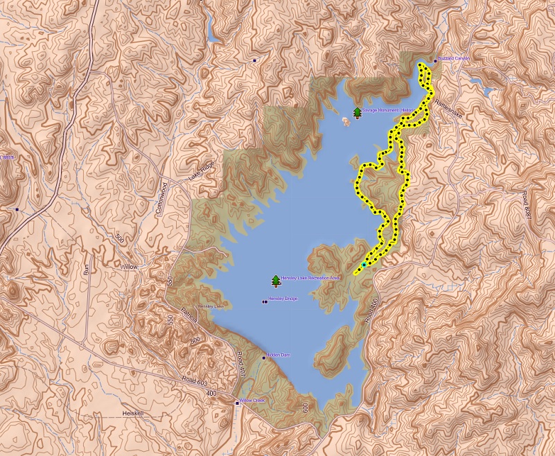
Hensley Lake Topographic Map
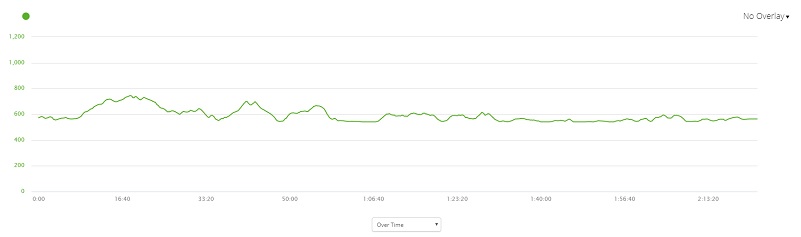
Hensley Lake Profile

Buck Ridge Trail Map (Courtesy US Army Corps of Engineer)
Sources:
John Jackson Hensley Find a Grave
Major James D. Savage Grave – E Clampus Vitus Historical Markers
Buck Ridge Trail Map Army Corps of Engineers
Hensley Lake Army Corps of Engineers
Prior Blogs in the Area:
Hiking Along Hensley Lake On The Buck Ridge Trail February 22, 2019

