I am really fascinated with seeing our nearby waterfalls while they are roaring with their spring melt and I was in need of a good workout, so I headed up to Yosemite to hike along the Panorama Trail where I could view 4 of these famous waterfalls. And I had a couple of surprises along the way . . .
Where: Yosemite National Park
Distance: 11.82 Miles
Difficulty: Moderate
Elevation Range: 5,891′ to 7,279′
Date: May 25, 2017
Maps: El Capitan Topographic Quads
Dog Hike? No
I headed up Highway 41 through the South Entrance to Yosemite near Mariposa Grove, then to Glacier Point Road where I had my first surprise of the day. I cannot come up with the right words to describe the condition of Glacier Point Road near the Sentinel Dome parking area. Craters, cavity, depressions, dips, fractures, gaps, holes, pits, pockets, ruts, splits, and alligatoring are some that I came up with. Some were very deep. Some were marked and some were not. I knew that our wet winter must have had a significant impact on our roads but what really causes potholes?
A pothole is a structural failure in a road surface, caused by failure primarily in asphalt pavement due to the presence of water in the underlying soil structure and the presence of traffic passing over the affected area. Introduction of water to the underlying soil structure first weakens the supporting soil. Traffic then fatigues and breaks the poorly supported asphalt surface in the affected area. Continued traffic action ejects both asphalt and the underlying soil material to create a hole in the pavement. If they become large enough, damage to tires, wheels, and vehicle suspensions is liable to occur. Serious road accidents can also occur as a direct result, especially on those roads where vehicle speeds are greater. These potholes are a serious consideration that you need to keep in mind if you are using this road and I advise you to take it slow as you negotiate through this area.
I drove to the end of Glacier Point Road and parked in the large parking lot. I had arrived early to both beat the crowd and hopefully beat the heat coming out of the canyon in the afternoon. It really pays to get into Yosemite and parked early.

I headed up the Panorama Trail, which I had to myself on the hike in.

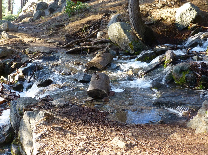
There were many small creeks running across the trail but they were all easy to get across.

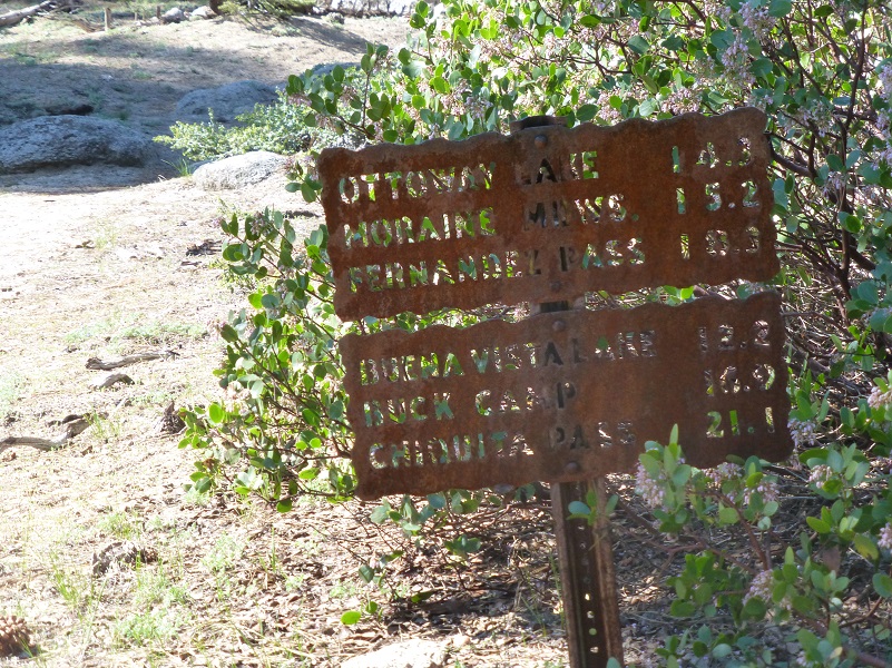
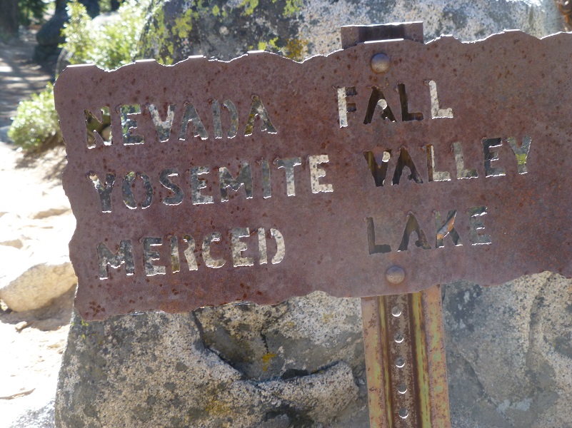
Before the trail reached Illilouette Fall, there was a junction which headed toward Mono Meadow. I stayed on the trail that was signed for Illilouette Fall.
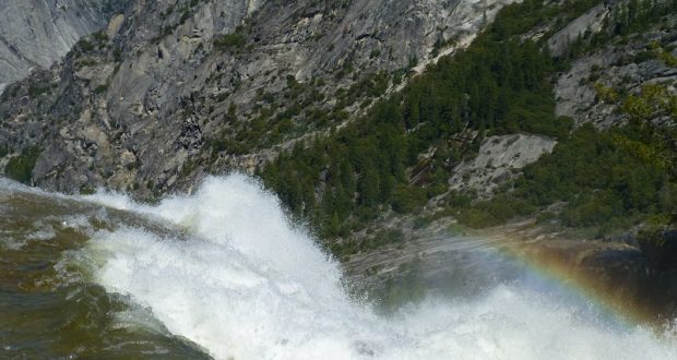
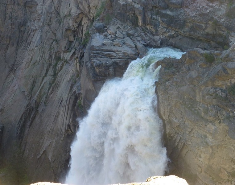
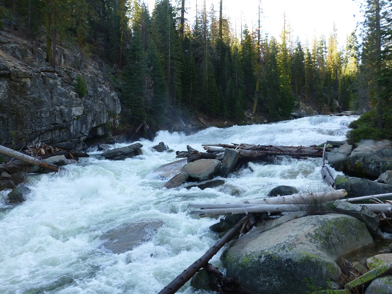
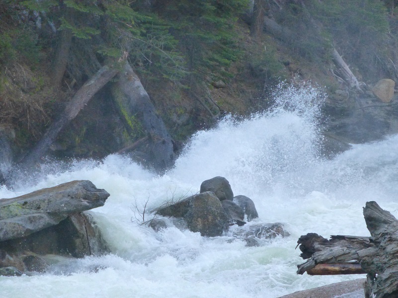
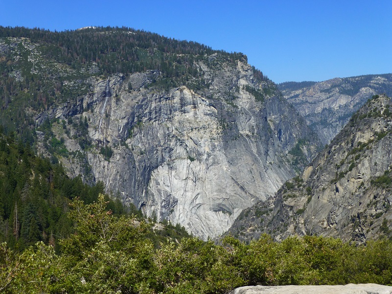
I could hear Illilouette Fall roaring long before I reached it. There is a view point along the trail where I caught my first glimpse of Illilouette Fall and boy, was it flowing! This waterfall is fed by Illilouette Creek and was called Tululowehack in the California Geological Report in 1870, supposedly an Indian name. They pronounced it Too-lool-a-we-ack or Too-lool-we-ack and was inpreted as “the place beyond which was the great rendezvous of the Yos-Semite Indians for hunting deer.” The name was a difficult one for people to pronounce and the name of Illilouette started showing up as early as a 1896 map. The name of Illilouette Ridge was recommended in 1907 and the gorge was first named on the fourth edition of the USGS map of the valley in 1927. The World of Waterfalls says that it is said that this fall is said to be 370 feet tall.
Illilouette Fall
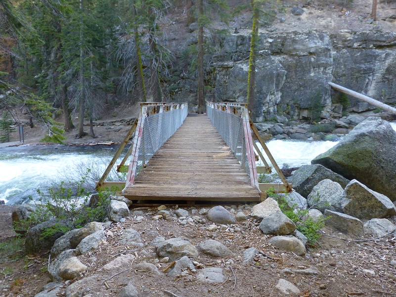
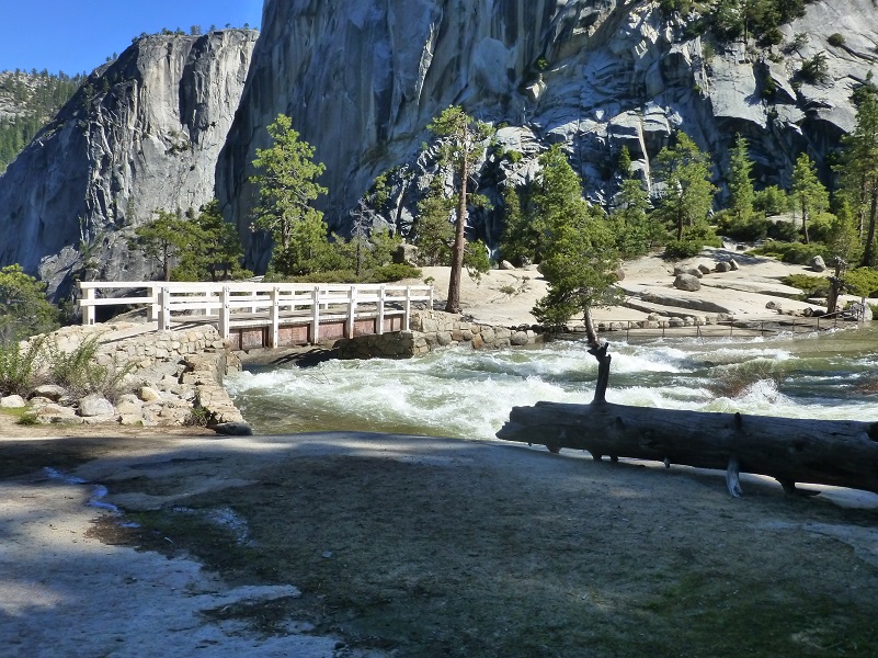
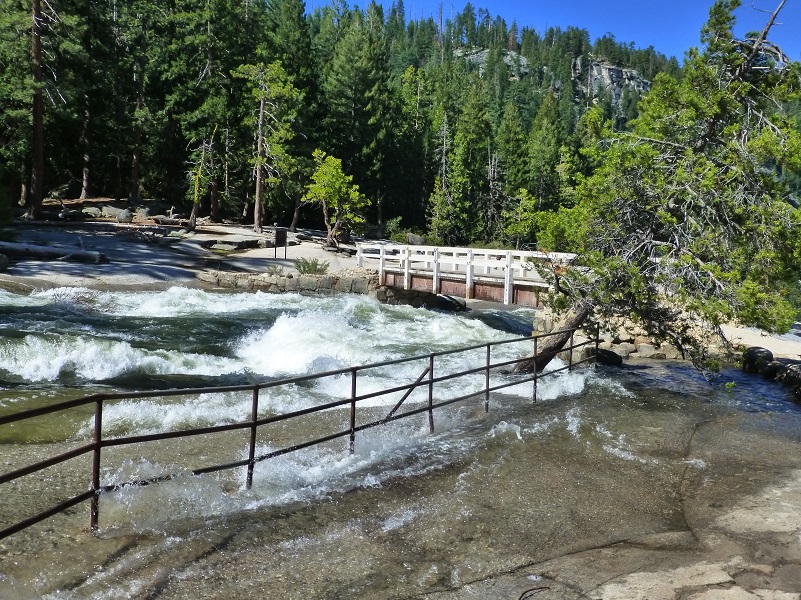
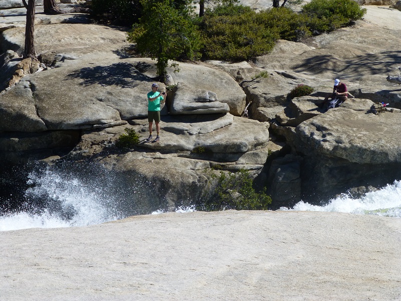
I reached the bridge that crossed Illilouette Creek and although the dangers of those rushing rivers are well signed, sometimes people still venture down too close and just don’t anticipate the power of that water. There is absolutely no saving someone if they fell in that cold water.
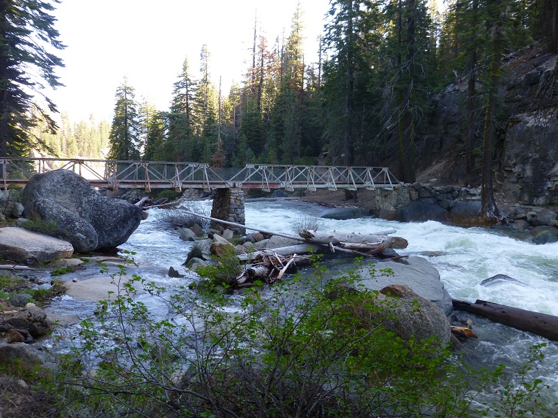

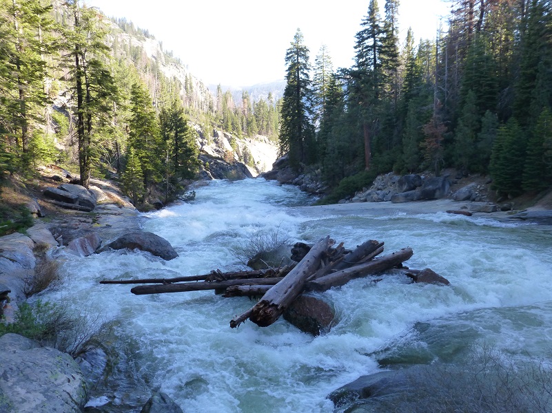
As I crossed the bridge, I looked downstream and upstream. The water was rolling so strong over those rocks that there was some mist on the bridge.
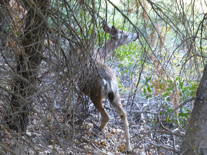
I headed onward toward Nevada Fall, coming across this young deer browsing right next to the trail. It was not interested in me one bit and I watched it for a while before moving on.
There are several spots along this trail where you have amazing views of Yosemite Falls and I couldn’t resist taking in that view. Yosemite Falls is the highest of the waterfalls in Yosemite National Park, with a drop of 2,425 feet over three sections. Yosemite Creek flows over the Upper Yosemite Fall, dropping 1,420 feet. There are then 5 smaller plunges called the Middle Cascades, together dropping 675 feet. Lower Yosemite Fall drops 320 feet.
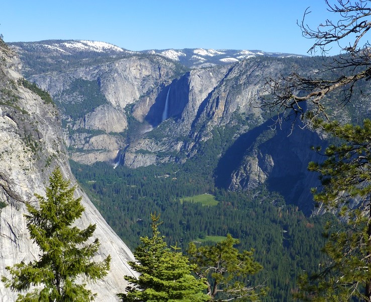
Yosemite Falls
There is a very short stretch of the trail where you can see Vernal Fall but I sure could hear it roaring. The Merced River spills over Vernal Fall for 317 feet.
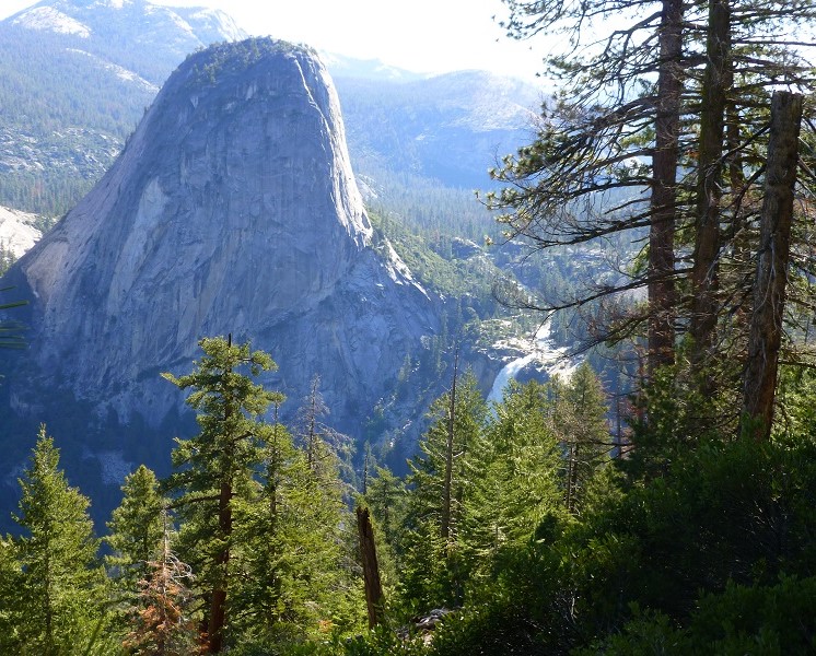
Vernal Fall
I reached another trail junction and kept moving toward Nevada Fall.
The trail was more of a creek in some spots than a trail.

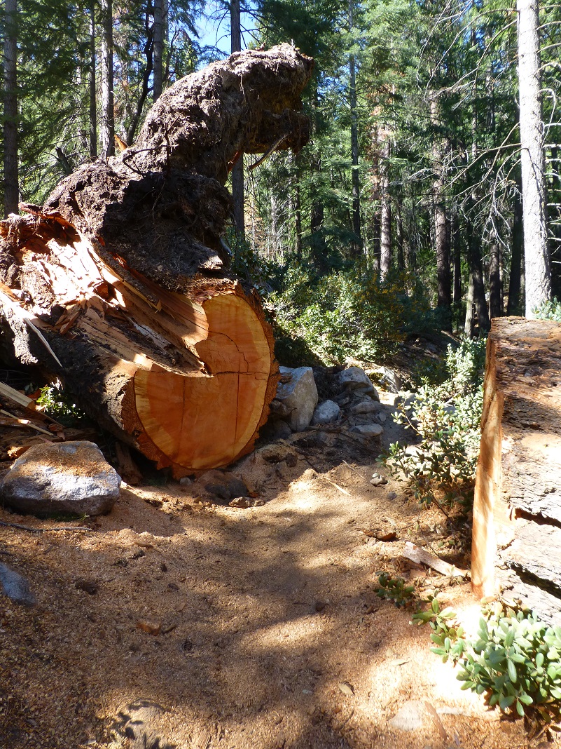
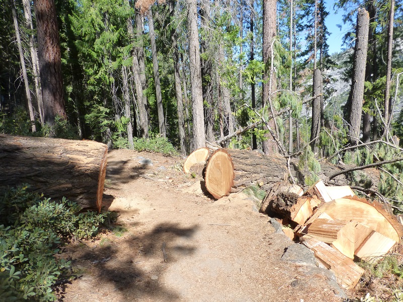
I had heard that there were some down trees on the trail but that efficient trail crew had already done a lot of work cutting them to clear the area where the trail ran through. Thank you so much!!
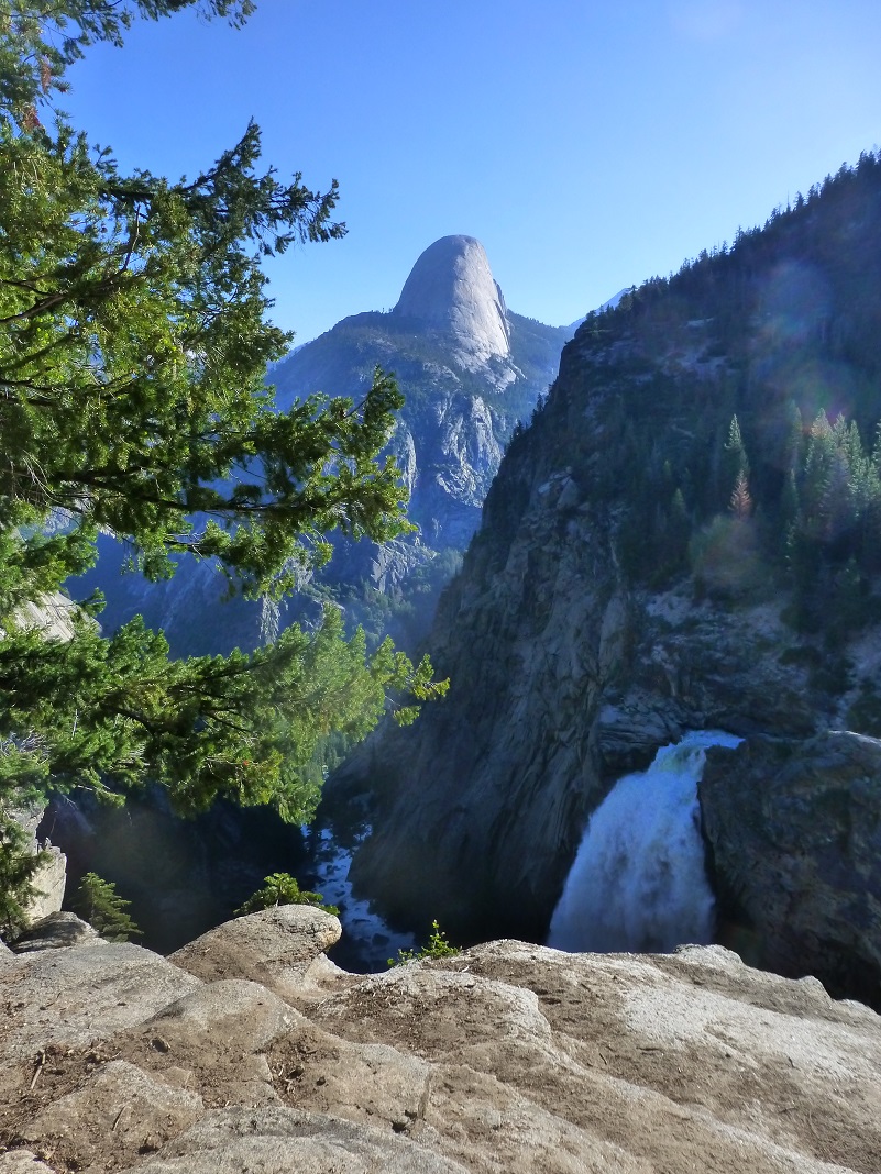
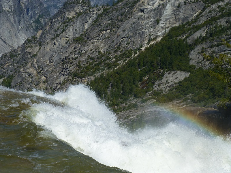
I reached Nevada Fall around 10 am and there was a group of three people and a Ranger. That was all! I had hiked up the Mist Trail to Nevada Fall on May 3 and there was much more water today. The Merced River was outside of the pipe gating upstream and really roaring. Nevada Fall has a drop of 594 feet.
I found a good spot to admire the view and have a snack. My usual spot was now in the edge of the strong moving waters.
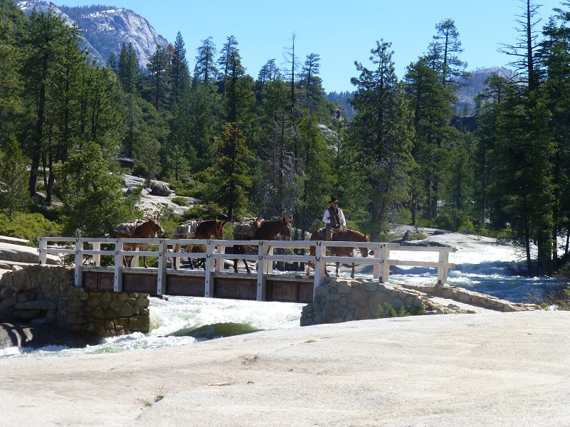
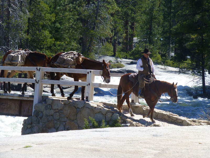
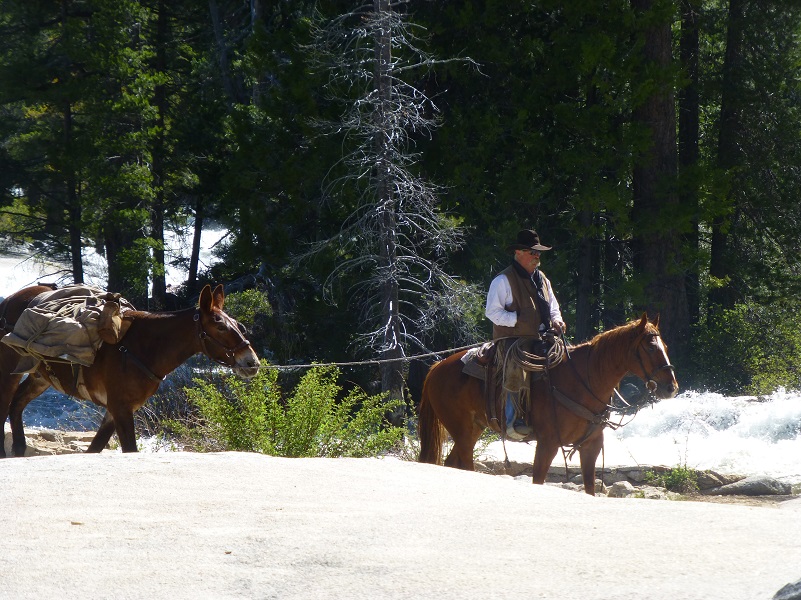
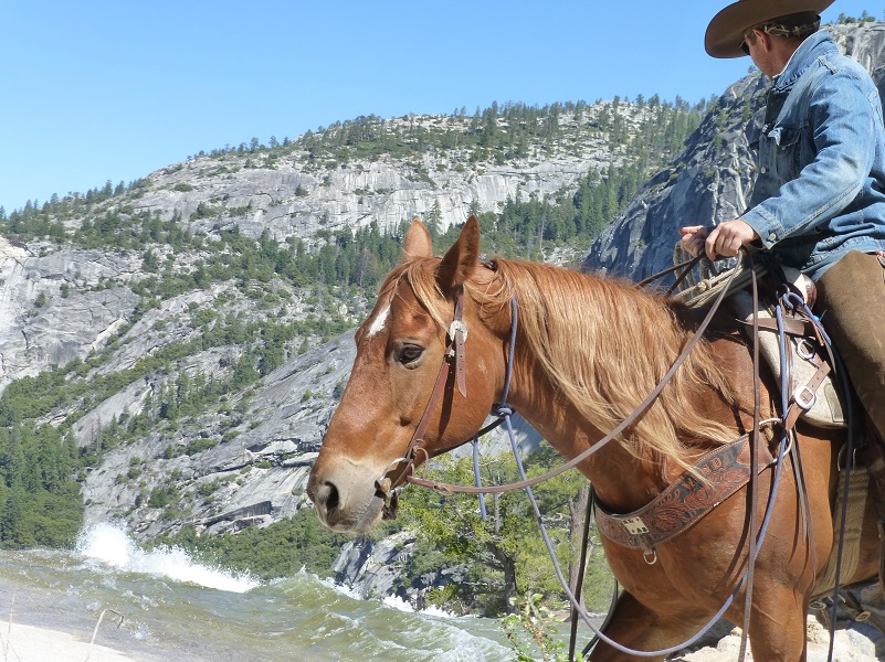
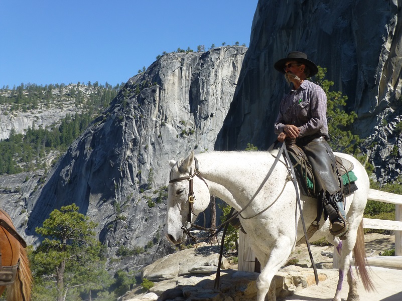
I had unexpected surprise with some entertainment as a pack string rode by.

After they left, a couple of people ventured down to the very edge of the edge of Nevada Fall where it drops off to get a picture. This is way too close! Any slip or misstep would result in them going over the fall and certain death. I just don’t understand why people do this. There are many signs all around warning of the danger and surely people have heard of tragic events where people have died in this very spot.
I was up by the bridge when another pack string rode by but this time I was able to get closer to admire those hardworking stock. I don’t know what they had hauled up or where they went, but they were heading back down to the valley.


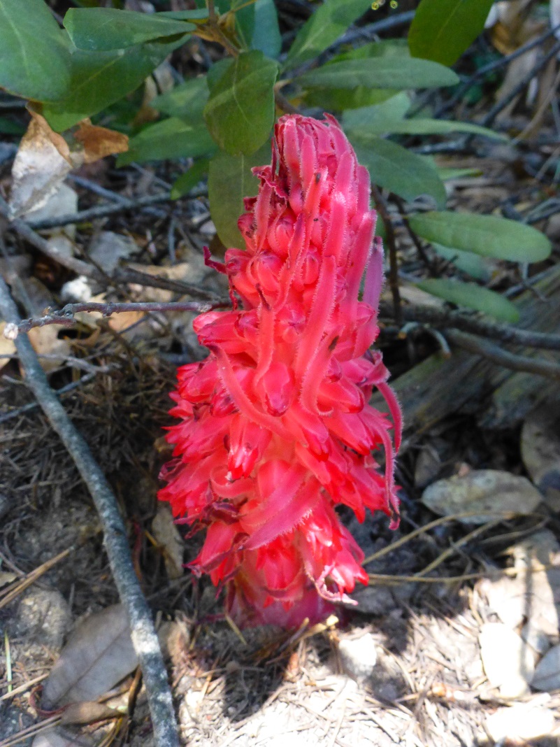
It was time to head back on the trail the way I had come if I wanted to beat that afternoon heat on that open stretch of the trail. I hadn’t gone too far before I saw a lone snowplant beside the trail.
Then I saw a lone dogwood blooming next to the trail.

It was a hot climb out of Illilouette Fall and I stopped a few times to admire the view. OK, I stopped to take a breather but these views make you feel like you can almost reach out and touch Half Dome.

I think this is a great hike to take as soon as Glacier Point Road opens up, when the waterfalls are putting on their best show and before it gets too warm. In the afternoon, that haul out of Illilouette Creek to Glacier Point can feel hotter than all get out. If you are lucky you will have a breeze and if you aren’t lucky, you will take to take some breaks, but what a view you will have as you take in all of that beauty! Also, be sure and drink plenty of water and keep fuel in your fuel tank. You can also loop this hike down to the valley via the Mist Trial or the John Muir Trail and back up via the 4 Mile Trail.
Dog Hike? No, dogs not allowed on this trail.
Map and Profile:

Glacier Point to Illilouette and Nevada Falls Topographic Map
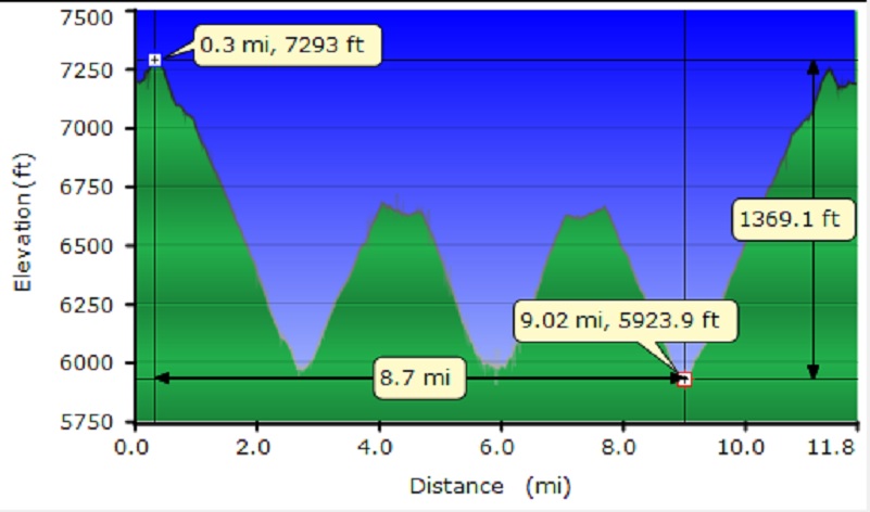
Glacier Point to Illilouette and Nevada Falls Profile
Sources:
Browning, Peter, Yosemite Place Names: The Historic Background of Geographic Names in Yosemite National Park, Great West Books, 2005
Illilouette Falls World of Waterfalls
Prior Blogs in this Area:
Hiking up to Vernal and Nevada Falls May 3, 2017
Glacier Point to Illilouette and Nevada Falls April 20, 2016