
Dome Fire Closes Glacier Point Road Ahead of Weekend
Yosemite remains open as crews strengthen firelines and visitors adjust plans around road and trail closures.
Visitors heading to Yosemite this weekend will need to adjust plans for Glacier Point, where smoke and firefighting operations have closed the road. Much of the park remains accessible, including Yosemite Valley and the Highway 41 approach through Wawona.
Glacier Point Road closed at 6 p.m. Wednesday, September 23, because of reduced visibility from smoke and the need to safely accommodate firefighting operations. Park officials say it will reopen when conditions allow.
The Dome Fire had reached 4,051 acres with 15% containment, according to CAL FIRE’s incident page updated at 12:55 p.m. Thursday, September 24. Reported September 15, the fire is burning in Yosemite’s backcountry near Chilnualna Falls. Its cause remains under investigation. Dome Fire information
According to the incident update, there are no imminent threats to infrastructure. Structure firefighters continue supporting the Wawona and Yosemite West communities.
Crews have made progress connecting hand-built firelines to the Bridalveil Creek trail system and the area burned by the 2017 Empire Fire. They are also widening lines around Empire Meadows and Horse Ridge and establishing additional contingency lines off Glacier Point Road.
Supporting that work requires moving supplies into remote terrain. Mule pack strings and helicopters are delivering supplies and carrying materials back out, with another pack string planned to support crews working along the Bridalveil Creek trail system.
The Mariposa-Yosemite Airport is closed to general aviation traffic, according to the incident update.
For visitors, the Glacier Point Road closure does not close every route to the overlook. The Four Mile Trail and Panorama Trail remain open to hikers, according to the update. Visitors should check current conditions before choosing a route, as smoke and closures can change.
Backpackers whose vehicles were already parked overnight at Glacier Point will be allowed to drive out.
Other trails remain closed around the fire. These include the Chilnualna Falls Trail, routes from the top of the falls toward Buena Vista and Crescent lakes, and the Ostrander Lake Trail and areas and trails south of it. The closure area extends east of Wawona Road between Wawona and Chinquapin. Yosemite conditions and closure information
Smoke is another consideration when planning an outing. Conditions can vary by location and time of day, and an open road or trail does not necessarily mean clear air. Visitors can check the AirNow Fire and Smoke Map for current readings before leaving home.
Officials also remind the public to keep unauthorized drones away from the fire. Drone activity can interrupt firefighting flights, delaying work by aircraft supporting crews on the ground.
For current road information, call 209-372-0200 and press 1, then 1. Fire information is available through the Dome Fire public information line at 209-662-7175 and the official incident page.
Fire figures reflect the September 24 update at 12:55 p.m. Road, trail and smoke conditions may change.
———-
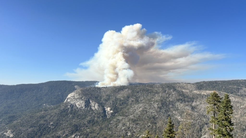
Feature Photo: Smoke rises from the Dome Fire in this September 16, 2026, view from Wawona Point. Smoke and firefighting operations later prompted the closure of Glacier Point Road.
Photo Credit: National Park Service.