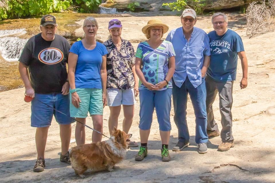
L-R Larry Langley, Sue Langley, Barbara Liss, Jane Bramley, Bob Liss, Bob Bramley (photo by Bob Bramley)
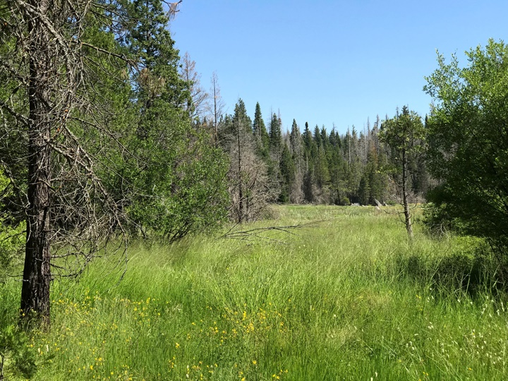
We encourage you locals to get out and enjoy your backyard, the Sierra National Forest.
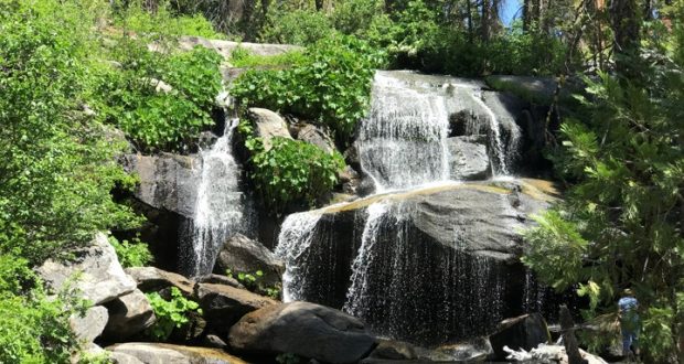
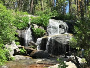
One of our favorite day trips is a drive up to Whisky Falls, just less than an hour from North Fork. We recently made two trips up to the Falls. First was to take my cousin Bev from Kansas and the second some friends of ours from the Oakhurst Dinner Club.
You don’t need a 4wd or even all wheel drive if you take the main roads. Lots of side roads to explore if you have a high clearance 2wd, 4wd or all wheel drive. See the recommended map at the end.
 Start the ride from the 3-way stop at the corner of Road 274 and Road 225 in North Fork. Drive east towards Mammoth Pool. Just a short way past the Old Mill site and Douglas Station Road, turn left on Cascadel Road where you immediately start climbing up into the mountains.
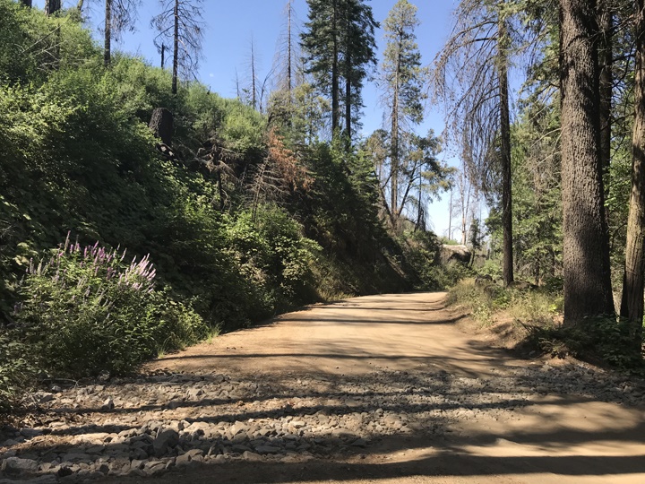
Just before the entrance to Cascadel Woods, turn left on Forest Road 8S09 and you’ll see a sign “locked gate with dates” 5 miles. During the week there are logging trucks using this road so be very careful and keep to the far right at a somewhat slow speed. All during the week tourists use this road so be very careful. Old road has asphalt in places but is mostly dirt. Continue past the gate and at the next intersection continue straight.
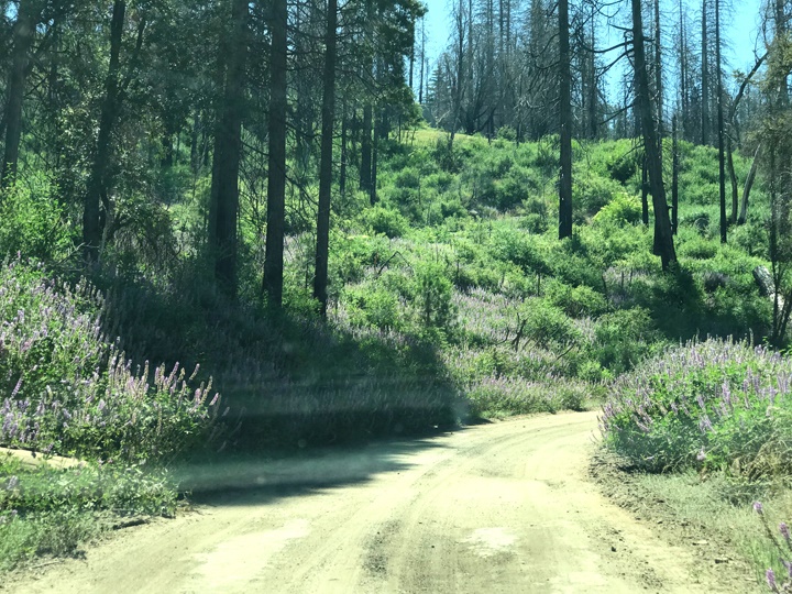
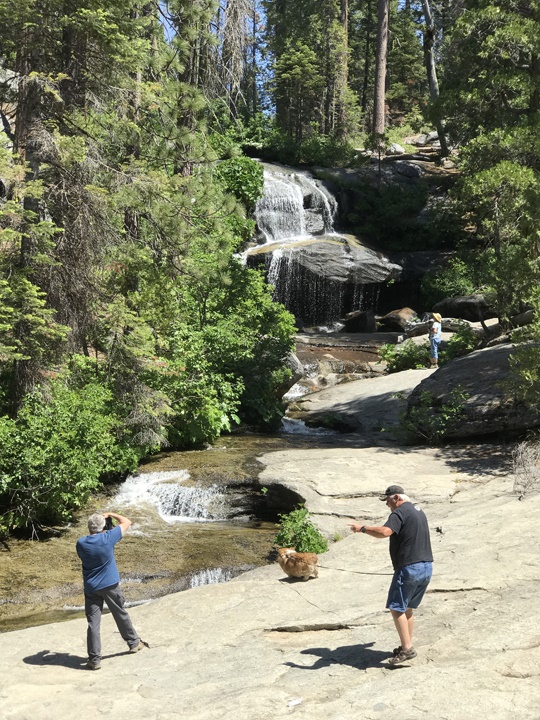
Some of our pictures are from a side road 8S26 which we used as we have 4wd.
 The logging area is to your right, so you should be past the truck route but it could change. After a few miles you’ll come to another intersection where you’ll turn right onto Forest Road 8S70 where, after a couple of miles, you’ll notice the Whisky Falls Campground on your right — then cross the bridge over Whisky Creek and Whisky Falls will be on your left.
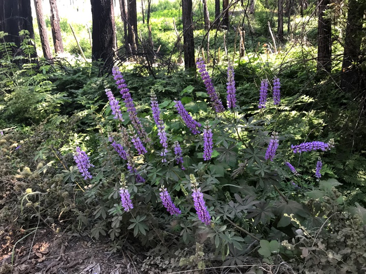
Park off the road and take in the beautiful scenery of the falls and the creek. We left the falls and went back to the campground where we found a nice shady spot with benches and enjoyed our lunch before heading back to North Fork.
Good maps can be found at the Forest Service in North Fork, recommend the Sierra National Forest Recreation Map which is a bit pricey but has shaded relief topo and also GPS grids.
Click on images to enlarge — photos by Sue Langley