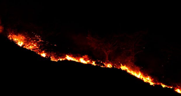
MADERA COUNTY – Sept. 17, 2020 – Very dry air began moving into the region yesterday, along with increased winds and the weakening of the inversion that has kept the smoke from leaving. These factors have allowed for increased fire growth along the north and northeastern flanks of the Creek Fire.
Containment lines on the west flank were extended north from Cascadel Woods to an area just south of Peckinpah Meadow. Extension of containment lines has kept overall containment at 18% despite the fire spread.
Very low humidity levels will continue today, with an enhancement of the upslope winds for the higher elevations.
Work continues on the west flank to fortify contingency lines and to protect Bass Lake, Central Camp and other high sierra communities. The tactics deployed in this area will provide options for our firefighting operations depending on how the fire reacts to the changing weather conditions.
Preparations continue for the community of Mammoth Lakes as winds push the Creek Fire to the northeast. Management Action Points (MAPs) have been established as virtual lines on the map in relation to fire location. If the fire crosses any of these MAPs, Emergency
Officials will enact appropriate actions to protect life and property. All concerned in this specific region can visit the Sierra National Forest Facebook page, or use the following link for information: Mammoth Mono Creek Fire Updates
The number of evacuated residents due to the fire is still approximately 11,000. As a result of the reduced evacuation orders, the Red Cross Temporary Evacuation Facility at the Mariposa Fairgrounds has been closed. Click HERE for current updates on evacuation orders and warnings.
Damage assessments are approximately 58% complete with 9,438 structures still threatened, 744 structures destroyed and 62 damaged. The county will notify property owners directly as information becomes available. To view the interactive map of both Madera and Fresno Counties follow this link: Damage Assessment Map
As weather conditions allow air operations to resume, please respect the Temporary Flight Restriction; keep drones away from the fire and firefighting operations. If you fly, we can’t! Don’t be the reason a firefighting air mission has to divert!

