It had been a year and a half since I had a weeklong horseback adventure and it was time for a road trip to south central Utah, horse camping at Capitol Reef National Park. 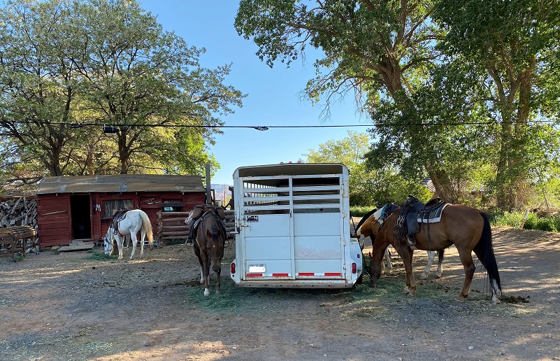 I recently received the sad news that the horse camping outfit called Hondoo Rivers & Trails would be having its final season this year. I had gone on 3 trips with them, was determined to get one more trip in with them, and they had openings for their Capitol Reef National Park horse camping trip. Sign me up!
The night before we rode out, myself and 3 other guests met with the owner Pat Kearney and one of her wranglers Marie to go over the itinerary for the week. After a good night’s rest and bath in the hotel, we met at their headquarters in Torrey, Utah (6,837′ elevation) the next morning. The horses were saddled and waiting for us at the horse trailer.

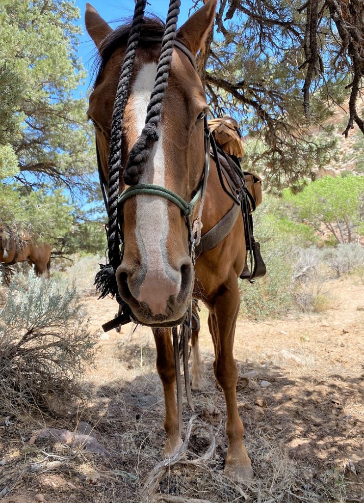
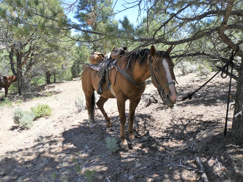
I was introduced to my horse for the week, Sam.
We all got in the saddle to make sure they fit us properly, making any needed adjustments, then loaded up the horses and us. Our personal gear was loaded on top of the already loaded truck that was going straight to our basecamp. And off we drove to Capitol Reef National Park.
We had two outstanding wranglers with us, along with the owner Pat who did the cooking this trip. Meet Ken and Marie. I had been on previous horse adventures with all of them. They saddled our horses, making sure the horses were fit and healthy, feeding and watering them. They led our rides, keeping us riders safe by ensuring we were riding safely, checking our horse’s cinch periodically through the day.

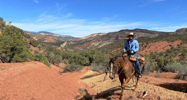
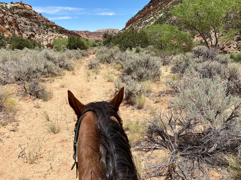
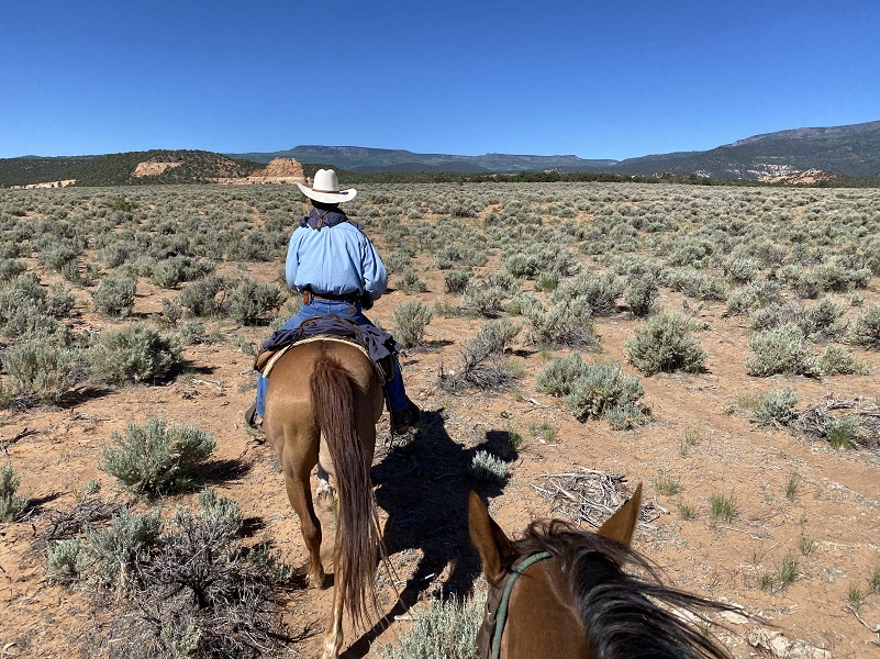
Once we arrived at Capitol Reef, we unloaded, mounted up and rode to our basecamp (6,580′ elevation). It was going to be a hot day and I carried a lot of water, drinking almost all it. The horses had some stops in the shade along the way and some creeks to drink from.
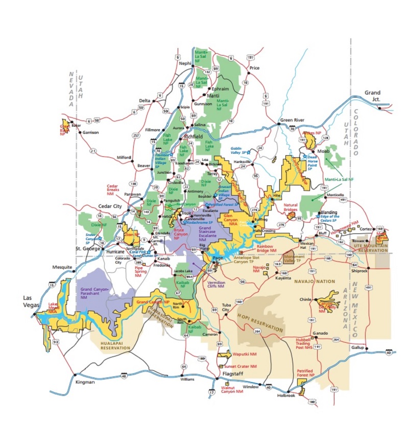
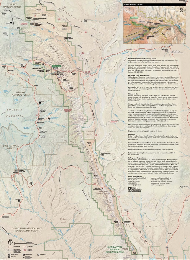
Let me start by sharing some information about Capitol Reef National Park. It is next door to Escalante Grand Staircase, Capitol Reef and nearby Bryce and Zion National Parks. It is long and skinny, approximately 60 miles long from north to south axis and an average of only 6 miles wide. The park was established in 1971 to preserve 241,904 acres of desert landscape and is open all year with May through September being the highest visitation months.
Capitol Reef National Park was initially designated a National Monument on August 2, 1937, by President Franklin D. Roosevelt in order to protect the area’s colorful canyons, ridges, buttes, and monoliths; however, it was not until 1950 that the area officially opened to the public. Easy road access only came in 1962 with the construction of State Route 24 through the Fremont River Canyon.
The majority of the nearly 100 mi long up-thrust formation called the Waterpocket Fold—a rocky spine extending from Thousand Lake Mountain to Lake Powell—is preserved within the park. Capitol Reef is the name of an especially rugged and spectacular segment of the Waterpocket Fold by the Fremont River. The park was named for a line of cliffs of white Navajo Sandstone with dome formations—similar to the white domes often placed on capitol buildings—that run from the Fremont River to Pleasant Creek on the Waterpocket Fold. The local word reef refers to any rocky barrier to land travel, just as ocean reefs are barriers to sea travel.
One of the reasons that I chose this specific trip was to see some petrographs and spring wildflowers. Hondoo Rivers and Trails was the name of the outfit that I signed up, owned by Patricia Kearney and Gary George, who have been guiding in this area for 42 years. Headquartered in the midst of the canyonlands at Torrey, Utah near Capitol Reef National Park, they are sensitive to the fragile environment they visit and have been on the cutting edge of their trade, implementing best practices management with low-impact camping techniques, small group size, well-maintained equipment and top notch horses. Hondoo is licensed under permits issued by the National Park Service, United States Forest Service, Bureau of Land Management and State of Utah.
During the week, we stopped by a couple of sites that had many petroglyphs. We tied our horses up, taking short hikes to get a closer look. Early people included the Fremont, Paiute, and Ute, living in this area long before today, leaving behind pictograph and petroglyph panels.
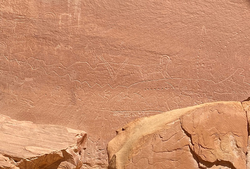
The Fremont culture doesn’t represents a single, cohesive group with a common language, ancestry, or way of life, but several aspects of their material culture provides evidence for this concept.
The Fremont moved in small groups, as clans, medicinal societies, or co-residence groups encountering other people and residing with them for periods of time. Gradually these groups merged and dispersed, repeating this process continually in a practice known as residential cycling. This reshuffling continued for thousands of years and coalesced into today’s tribal groups of Ute, Paiute, Hopi, Navajo, and Zuni.
Fremont culture Native Americans lived near the perennial Fremont River in the northern part of the Capitol Reef Waterpocket Fold around the year 1000. They irrigated crops of lentils, maize, and squash and stored their grain in stone granaries. In the 13th century, all of the Native American cultures in this area underwent sudden change, likely due to a long drought. The Fremont settlements and fields were abandoned. Many years after the Fremont left, Paiutes moved into the area. These Numic speaking people named the Fremont granaries moki huts and thought they were the homes of a race of tiny people or moki.
As the climate continued to change, the Fremont people couldn’t easily adapt their lifestyle to the hot, dry weather. They returned to hunting and gathering. What became of them is unknown. Other groups moving into the area known as “Numic” might have driven them out or the Fremont may have assimilated into these new cultures.
Pictographs (painted on rock surfaces) and petroglyphs (carved or pecked into the rock surface) depict human-like figures, animals, and other shapes and forms. Anthropomorphic (human-like) figures usually have trapezoidal shaped bodies with arms, legs and fingers. The figures are often elaborately decorated with headdresses, ear bobs, necklaces, clothing items and facial expressions. A wide variety of zoomorphic (animal-like) figures exist, including bighorn sheep, deer, dogs, birds, snakes and lizards. Abstract designs, geometric shapes, and handprints are also common. Designs may have recorded religious or mythological events, migrations, hunting trips, resource locations, travel routes, celestial information and other important knowledge.

The climate was different back when the Fremont people lived here, Today, a beautiful creek wandered through this valley, and I could imagine that it would be a wonderful place for people to live. Anthropologists suggest that the Fremont were hunter-gatherers who supplemented their diet by farming corn, beans, and squash along waterways and floodplains. Edible native plants included pinyon nuts, rice grass, and a variety of berries, nuts, bulbs, and tubers. Corn was ground into meal on a stone surface (metate) using a hand-held grinding stone (mano). Deer, bighorn sheep, rabbits, birds, fish, and rodents were hunted using snares, nets, fishhooks, the atlatl (spear-throwing stick) and the bow and arrow.

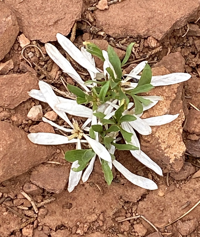
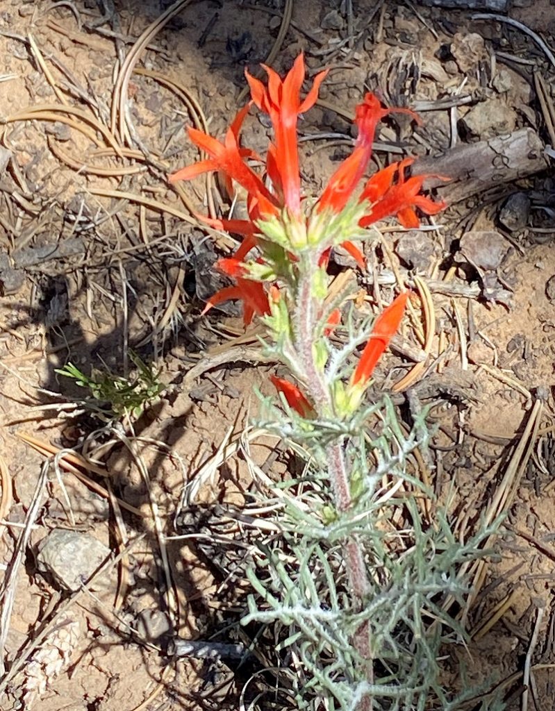
Even in this drought year, flowers were blooming, including this cactus.

We saddled up and continued on.
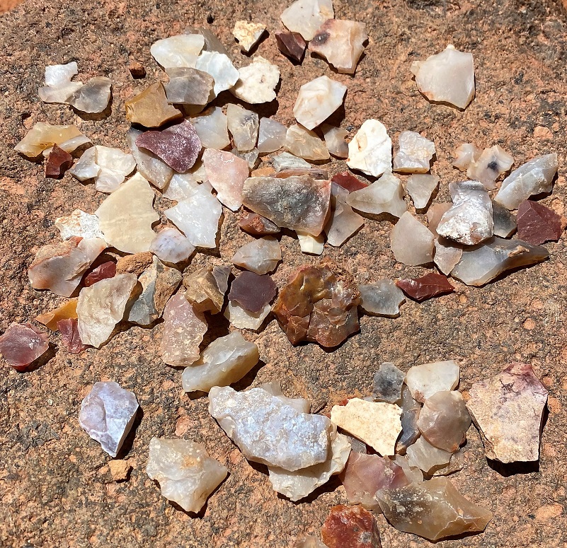
On a different day, we stopped at a site utilized by long ago Native Americans in the area. Plenty of obsidian flakes and pot shards could be found and of course, we left them where we saw them. People had placed some obsidian flakes on top of a nearby rock and we checked them out.
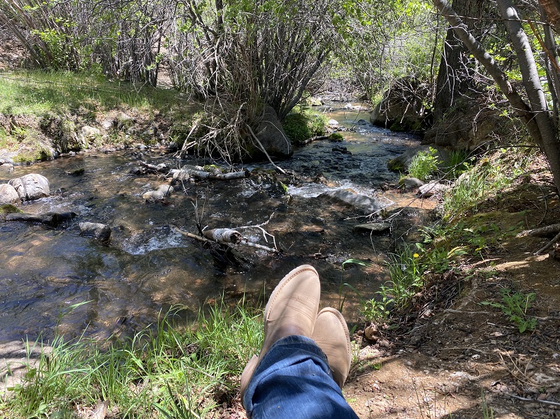
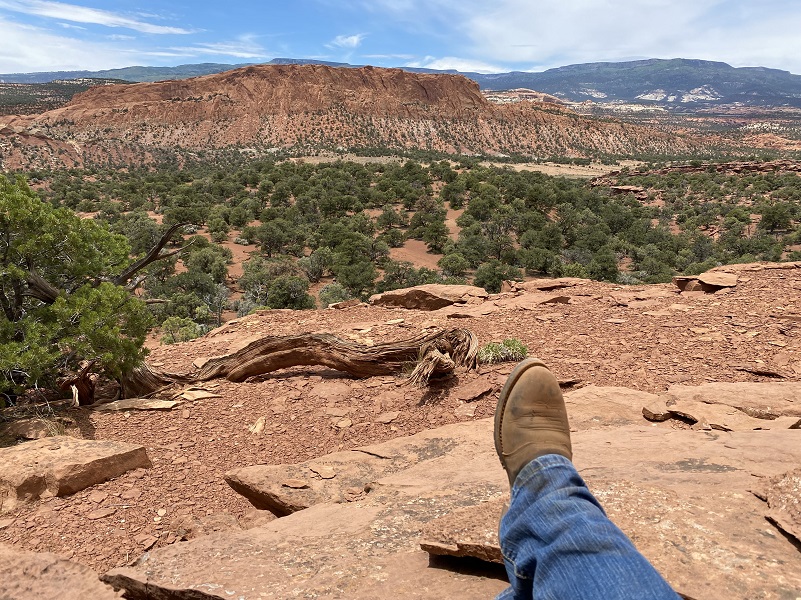
We packed lunches each day and had some beautiful lunch spots during the week.
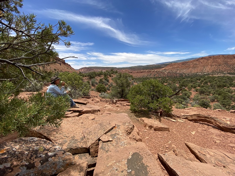
And beautiful view spots that required some pictures of us.

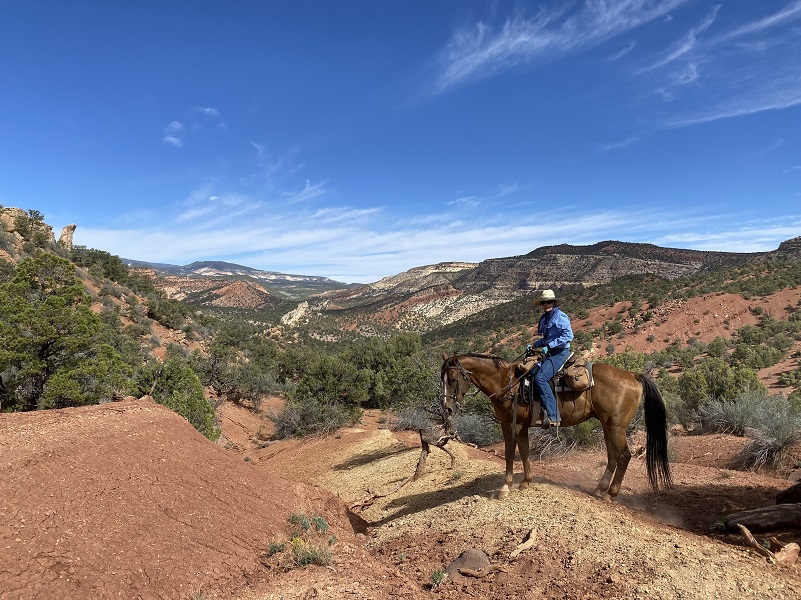
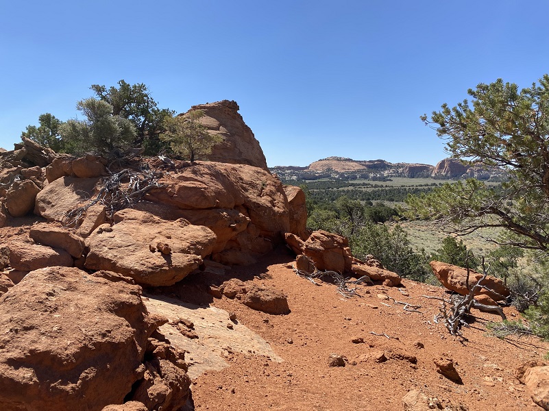
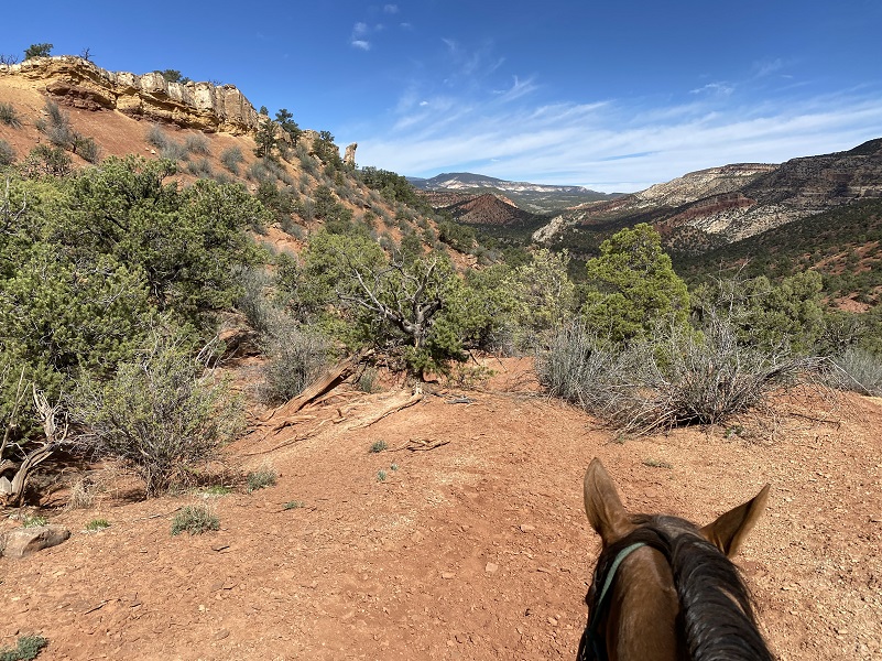
We saw amazing scenery along the way.

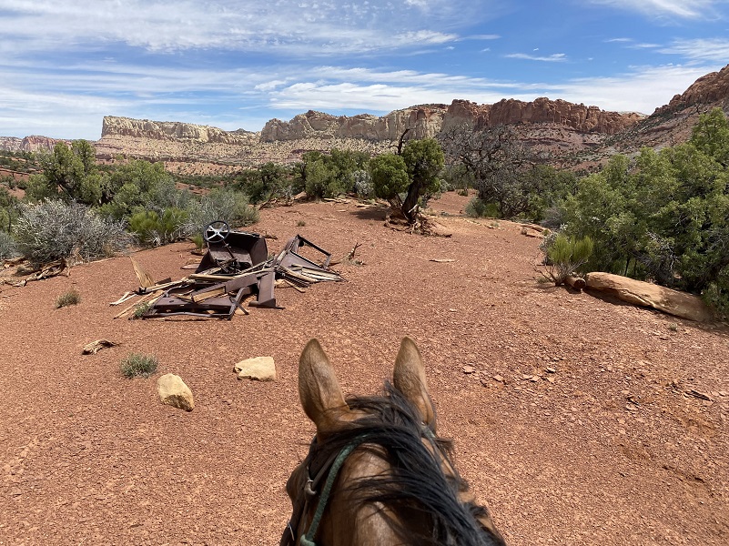
And we came across some unexpected items along the way.
And more lunch spots with views.
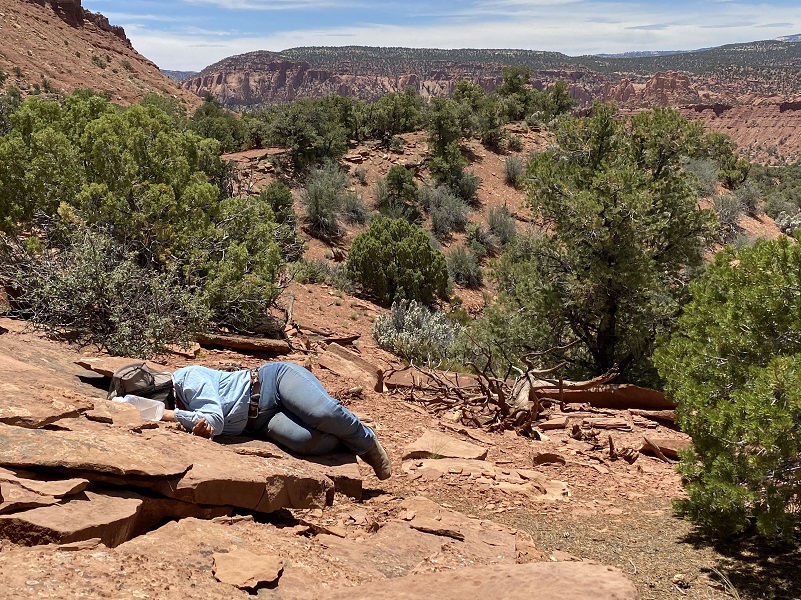
And some naps.
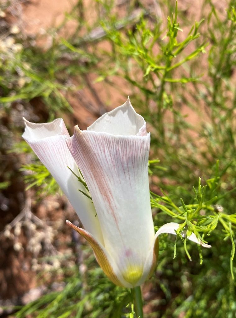
The saddest part about our trip is that the wind came up on the third night and continued through the next day. The gusts were pretty good and we were trying to hang onto the kitchen tent to stop it from collapsing when that is exactly what happened. There was no more cooking at that point and it was too windy to ride. I took a short walk out to check out something I had seen on horseback earlier in the week. Of course, I was bundled up for the blowing sand.
It was a challenge to get a picture but I held the stem and sheltered the flower with my body. It is a Sego Lily, state flower of Utah!
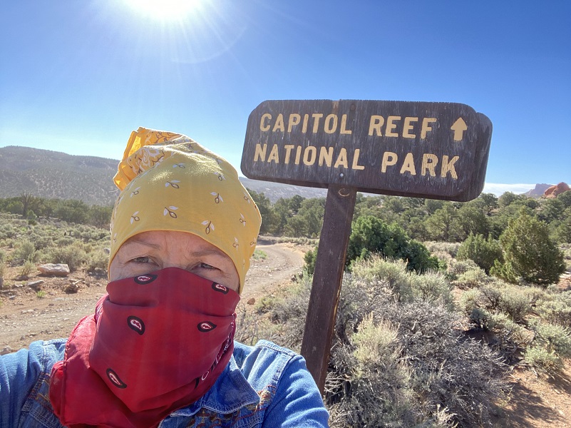
 We packed up the camp and later in the afternoon started riding the horses out, following canyons where the wind wasn’t howling but I think it was starting to die down a bit by then. We got back to the horse trailer, then into Torrey to a hotel. I never did get a picture of Pat cooking up her delicious meals for us, figured I would get it the last day and that last day came sooner than I thought it would. So the morning after we arrived I stopped by Hondoo’s headquarters for that picture.
I am thankful for my wonderful horse on this ride, surefooted and easily reined around the many trees we rode through. Sam received my lunch apples but that wasn’t enough appreciation for his hard work.
We slept in tents with cots and I had brought my own sleeping bag. Hearty hot meals were served at breakfast and dinner, with us packing our lunch each day from an assortment of choices set out for us after breakfast. Our rides lasted 4 to 6 hours each day with breaks mid morning, mid afternoon and lunch or as needed. The wranglers gauged the difficulty of the rides to suit the riders while exploring some really interesting country. I had an absolutely fun time riding Sam though beautiful Capitol Reef National Park.
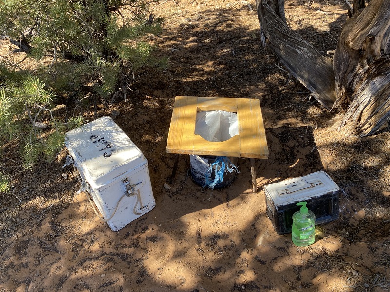
And if you were wondering just what we packed up and took back with us, “Leave No Trace” was a theme throughout our stay. In case you wanted to ask, we packed it ALL out.

Doarama:
This week’s Doarama is our ride into and out of our Basecamp (2 different days combined).
What is a Doarama? It is a video playback of the GPS track overlaid on a 3 dimensional interactive map. If you “grab” the map, you can tilt it or spin it and look at it from different viewing angles. With the rabbit and turtle buttons, you can also speed it up, slow it down or pause it.
Horseback Riding To And From Basecamp, Capitol Reef National Park Doarama
Maps:
This week’s Google Earth Image Map is our ride into and out of our Basecamp (2 different days combined).
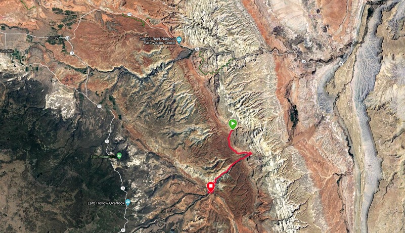
Ride into and Out of Basecamp (Google Earth Image)
Sources:
Fremont Culture Capitol Reef National Park
Capitol Reef National Park Wikipedia
Prior Blogs in This Area:
Utah’s Colorful Mesas and Canyons from the Back of a Horse October 14, 2018
Horseback at Capitol Reef in Utah: The Secret Life of Horse Camping May 27, 2018 May 27, 2018
Horseback at the San Rafael Swell in Utah: Fall Colors & Wild Horses November 5, 2017


