MOUNTAIN AREA — A winter storm warning remains in effect for the Sierra Nevada from Yosemite to Kings Canyon, through 6 p.m. Monday night, Mar. 7.
Above 6,000 feet in the higher country, the National Weather Service in Hanford is predicting one to two feet of new snow, with a foot expected below 6,000 to 4,000 feet elevation, or less.
Weather may include blowing and drifting snow with some whiteout conditions. Hanford says travel could be hazardous, warning of possible road closures and chain requirements. Snow and wind could cause tree branches or limbs to fall. Travel could be dangerous and drivers are cautioned to carry an extra flashlight and batteries, along with food and water, in case of emergency.
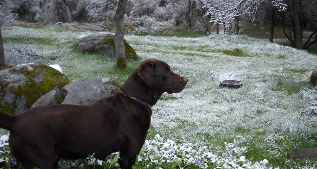
For lower elevations including the foothills, rain returns late Sunday night, with a chance of snow depending on your location. The timing is mainly after 10 p.m. according to current forecasting by Hanford, and temps will continue to drop overnight. They’re calling for a 100 percent chance of precipitation and rain is expected to be heavy at times, with the possibility of small hail, dangerous lightning, snow showers, and snow.
The low overnight in the foothills should drop to around freezing temps. Overall new precipitation for overnight Sunday into Monday is a quarter to half-inch in town. Winds could gust as high as 15 miles per hour.
Showers are anticipated in the foothills for Monday, Mar. 7, Hanford says, and the rain could again be heavy at times. High temperature will just top 50 degrees. By Monday night, expect just a chance of showers and a low around 30 degrees.
Tuesday is currently forecast to be sunny with a high temperature reaching the mid-fifties in the foothills, and around 42 degrees in Yosemite. Showers and snow are expected to make a return later in the week.
National Weather Service, Hanford (Yosemite)

