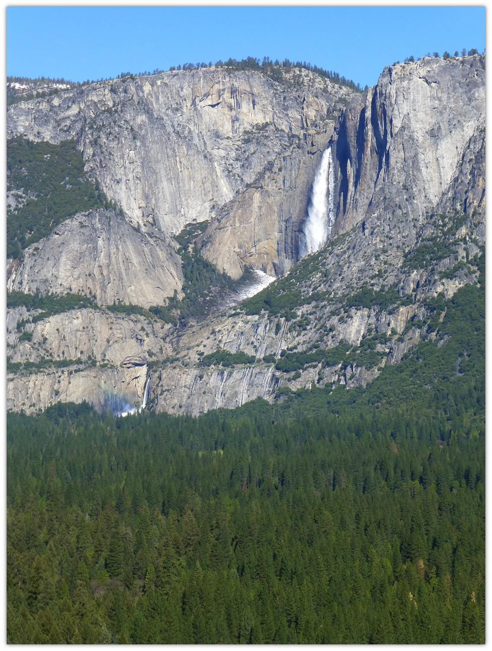
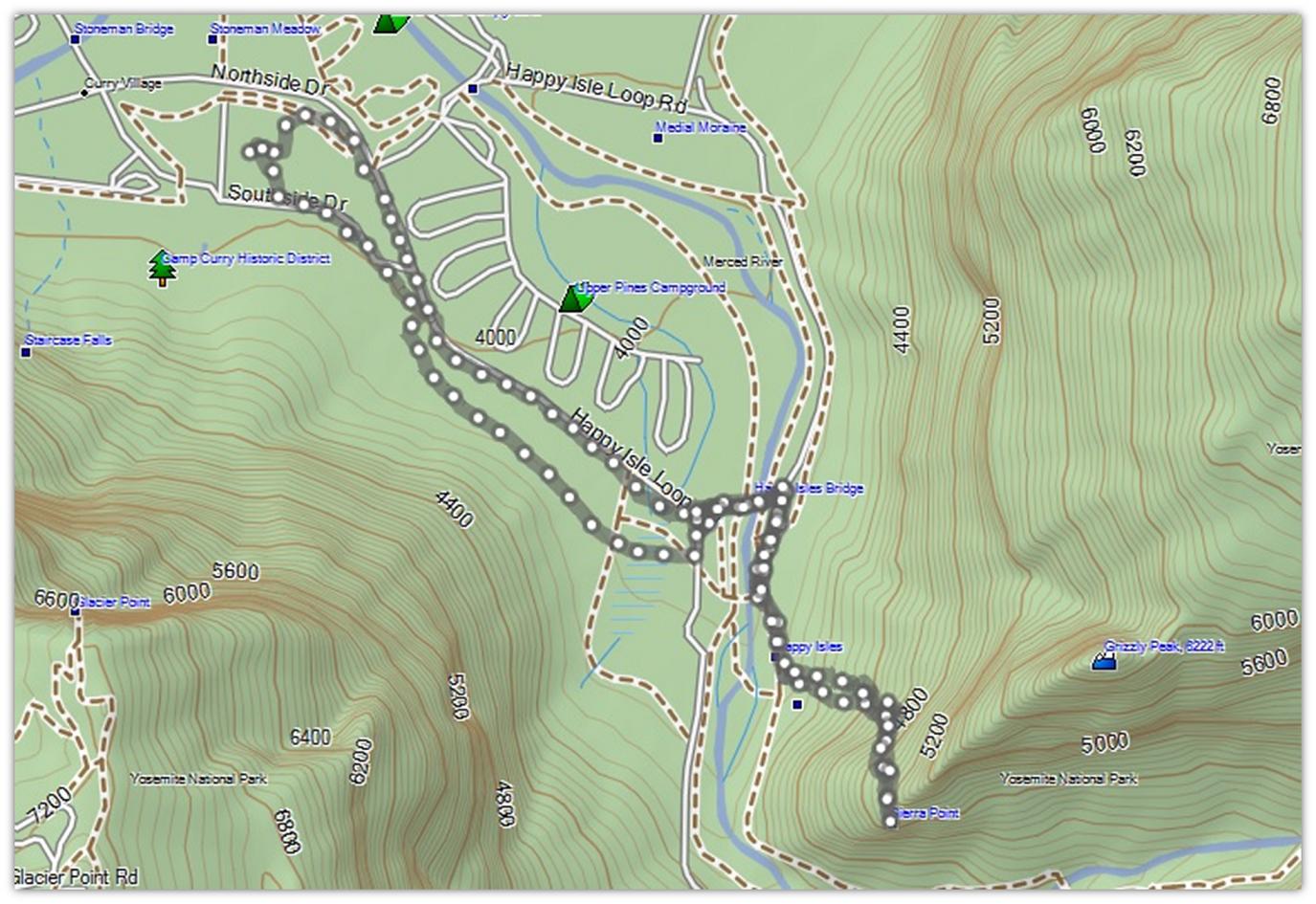
Ansel Adams took some of his first pictures at Sierra Point. The trail was wiped out by a rockslide in the 1970s and is no longer an official trail. It is a special place where you can see 4 of Yosemite’s 5 major waterfalls: Vernal and Nevada Falls, Ililouette Fall, and Upper and Lower Yosemite Falls at the same time. This trail is not for the beginner hiker but I can take you along with me through my pictures!
Where: Yosemite National Park Highlights: You can see 4 of Yosemite’s 5 major waterfalls: Vernal and Nevada Falls, Ililouette Fall, and Upper and Lower Yosemite Falls at the same time plus the John Muir trail, Merced river, Liberty Cap, North Dome, Glacier point, and much more.
Sierra Point is viewpoint on the eastern end of Yosemite Valley from which you can see four waterfalls: Yosemite Falls, Ililouette Falls, Vernal Falls, and Nevada Falls. The trail has been closed since the 1970s due to rock slides. It can be difficult to scramble over the rocks, finding handholds where you can and sliding in the loose soil, occasionally kicking rocks loose. There are ledges that you have to climb along where there are straight drop-offs and mistakes can be deadly. I do not recommend this hike but thought you might enjoy seeing what the area is like.
Ted’s Outdoor World gave the following background. “According to the Guide to Yosemite (Ansel F. Hall, 1920), there had been an ongoing quest to find a point in Yosemite from which the four major waterfalls could be seen. Finally, in 1897, Charles A. Bailey (a notable rock climber of the era) and a friend felt that they had determined such a location by triangulation. The first ascent on June 14, 1897, proved the calculation correct. The crag, which surprisingly turned out not to be one of the dominating summits, was named in honor of the Sierra Club. Bailey subsequently publicized his find in The Vantage Point of Yosemite, Sunset Magazine, April, 1899. The name appeared on the second map of Yosemite Valley in 1918.”
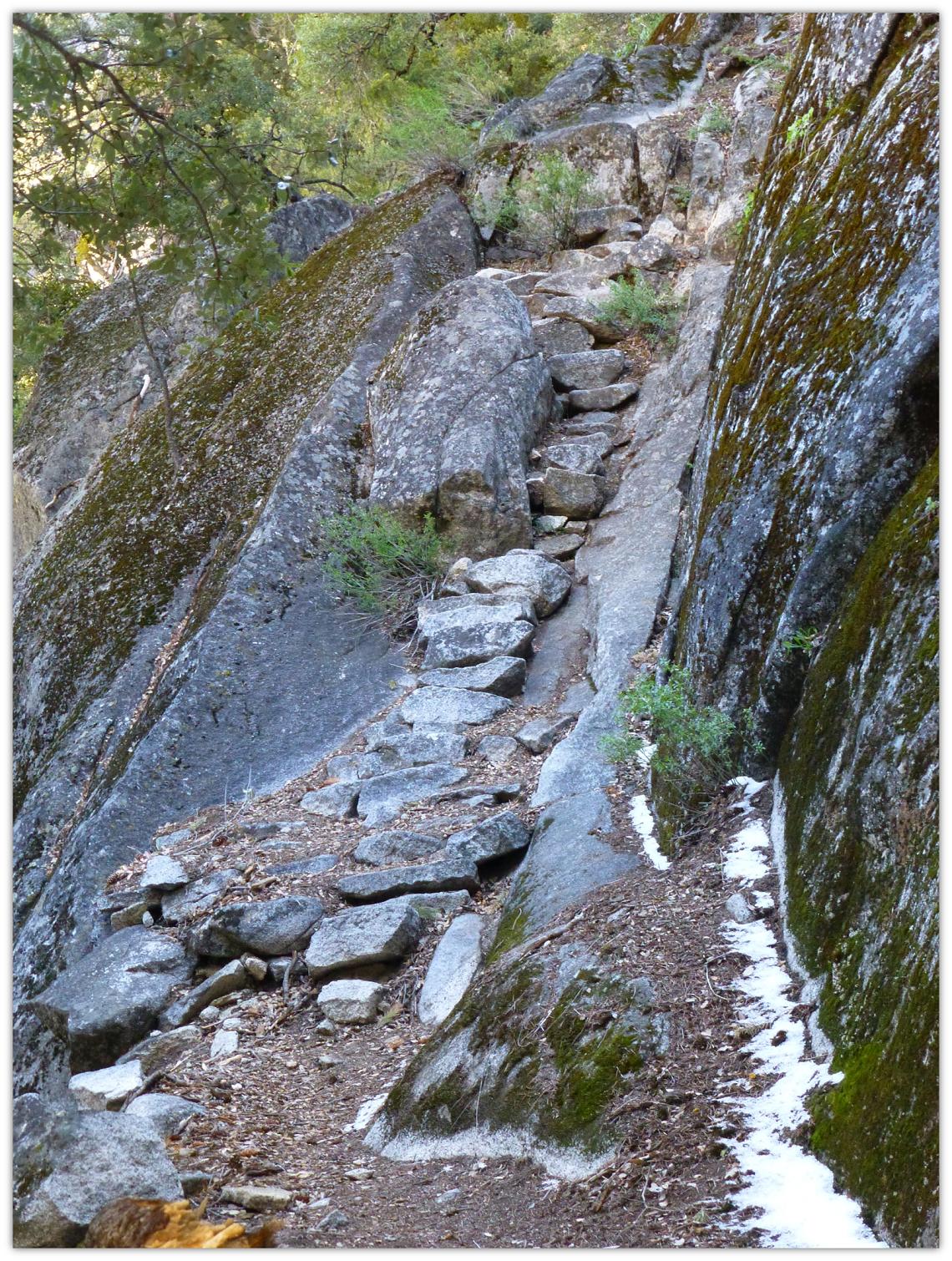
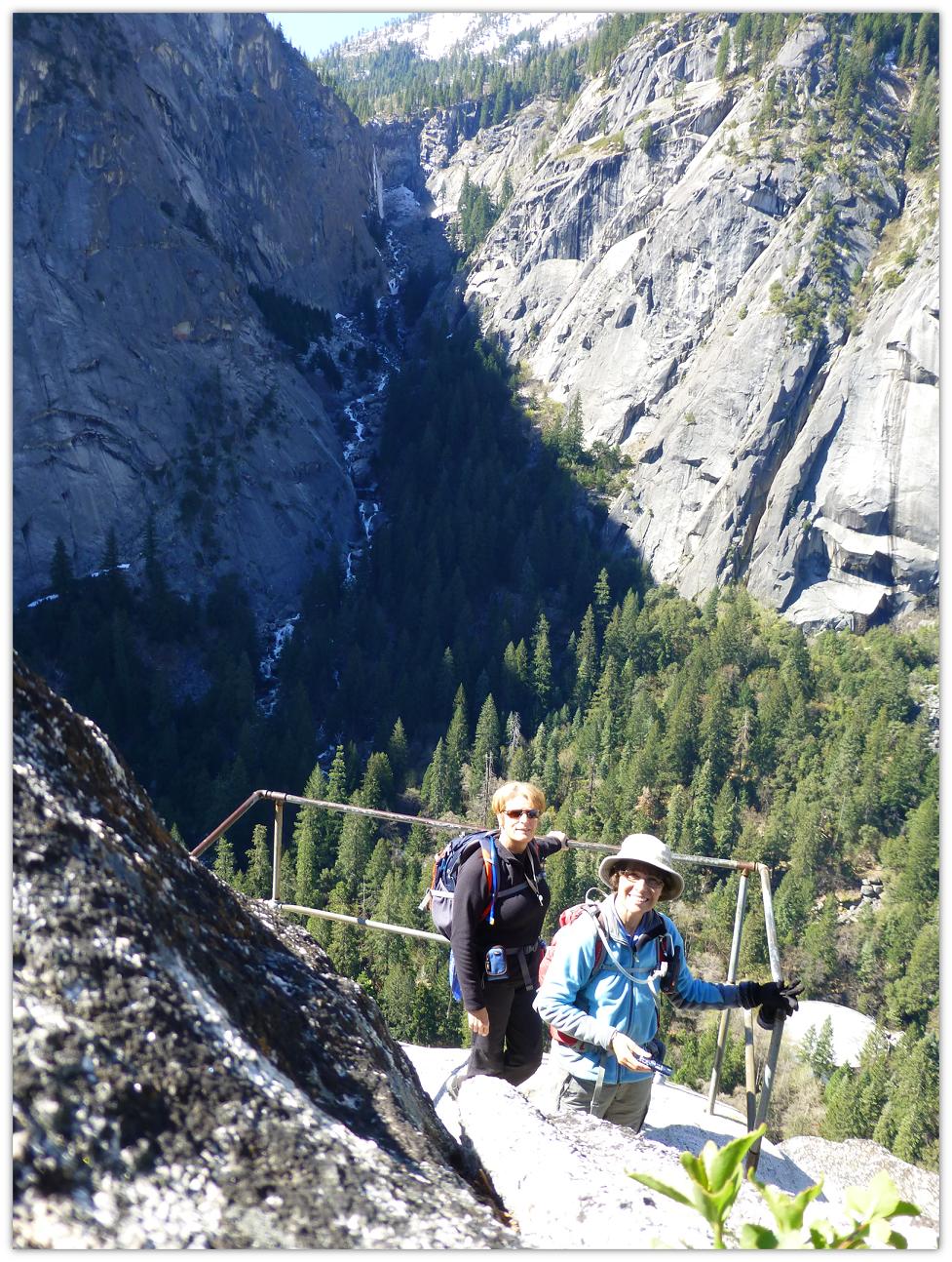
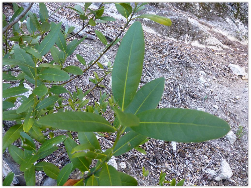
We parked at the Backpacker parking lot, just a little east of Curry Village and walked along the road, up the trail up to Happy Isles, then a scramble up over boulders, loose soil and rocks, until we followed the remains of the old trail. We didn’t take our trekking poles on this trip in order that our hands could be free to climb. As soon as we started up the hill, we could smell that wonderful aroma of the Bay Trees.
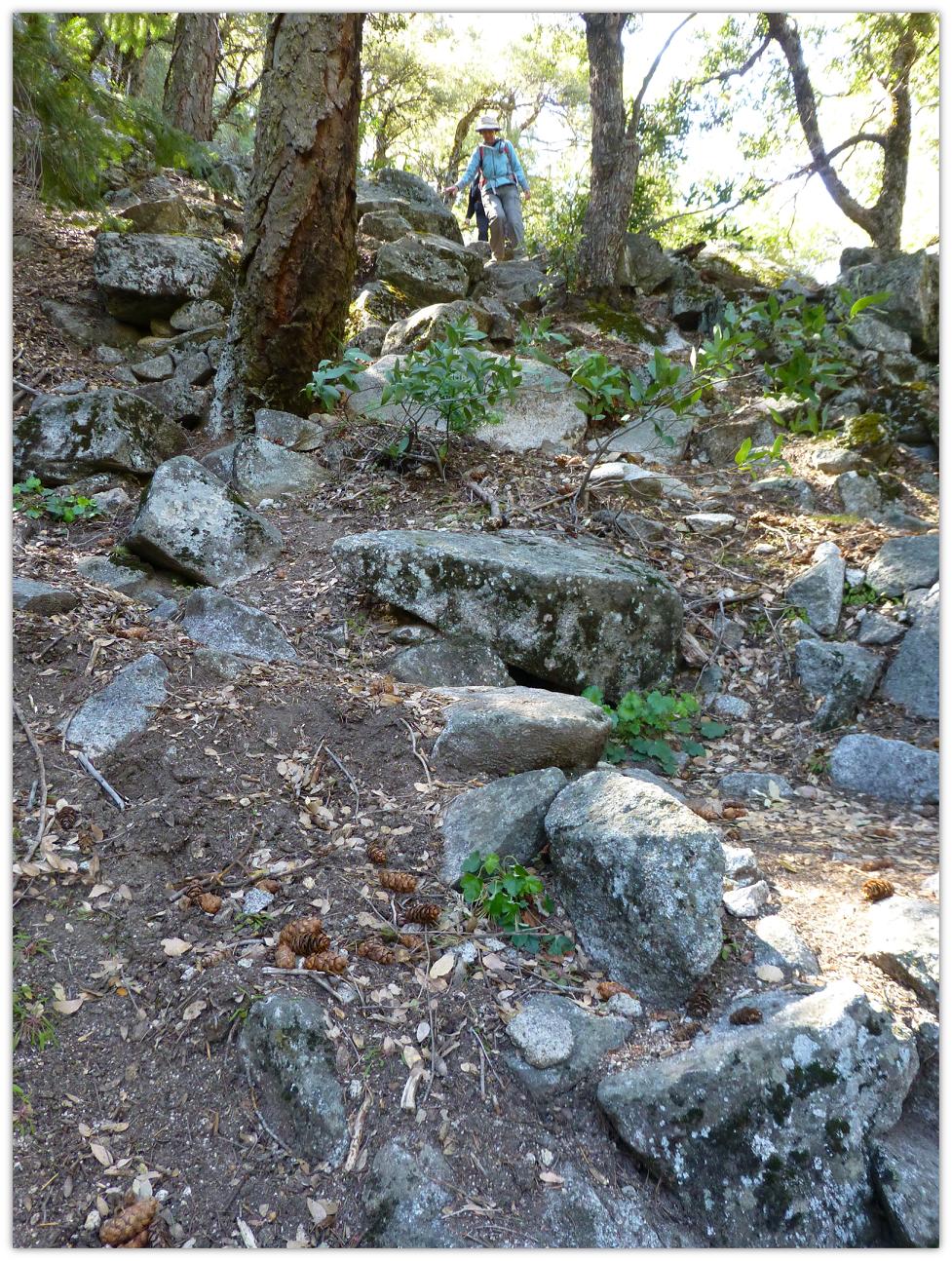
Once we hit the old trail, the going was somewhat easier, but there were still parts where we had to climb up some step parts, using handholds.
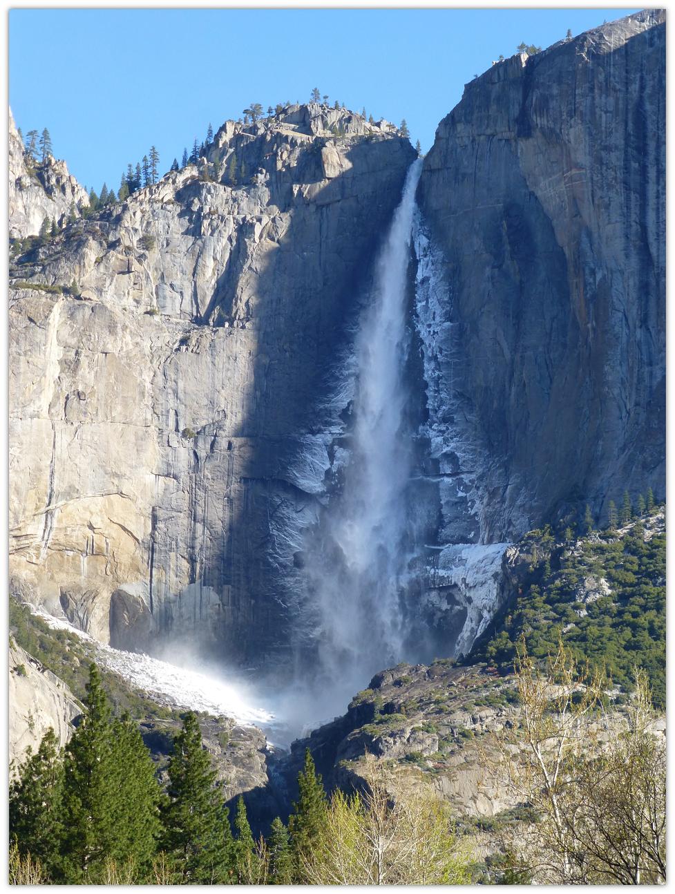
Along our way up, there were places where we could look across the valley and see Yosemite Falls.
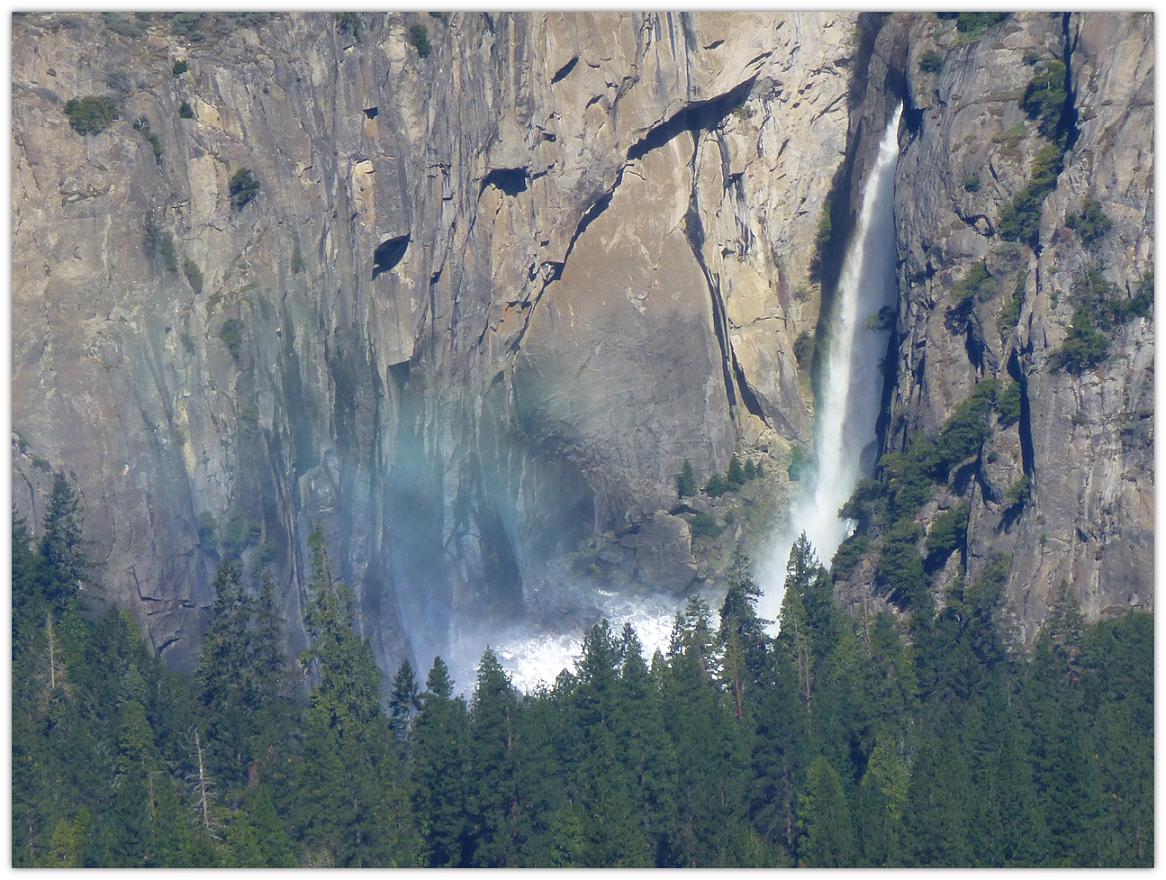
As we made our way up to Sierra Point, we saw a great view of Ililouette Falls. Although the sun was not cooperating with us this morning for great pictures of this area, we took a bunch anyway.
I did some experimenting with a 3D photo.
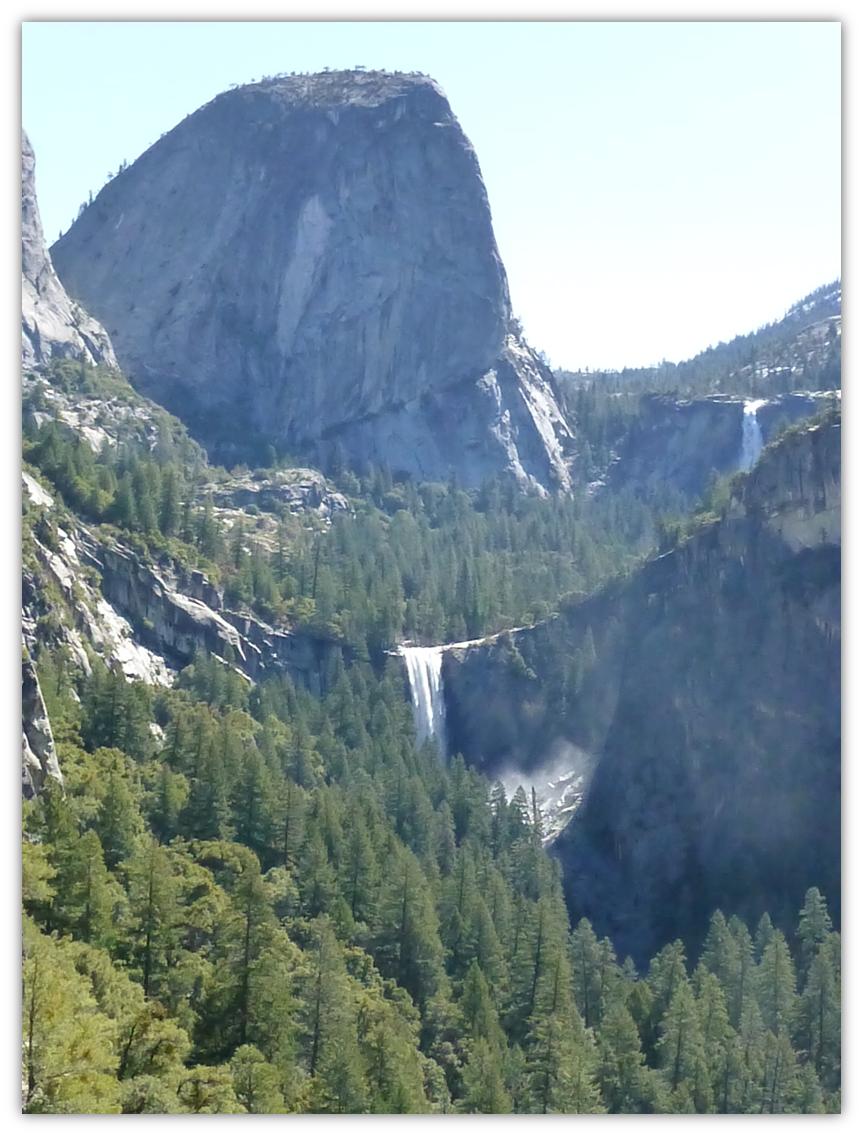
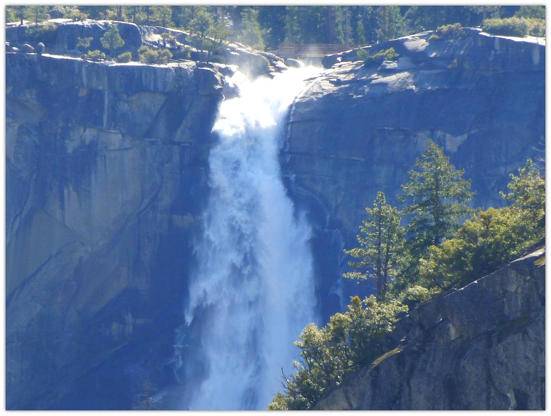
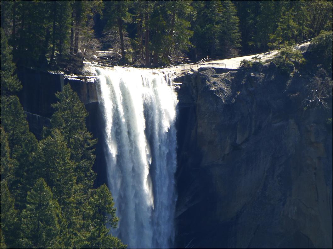
And look the other way and you can see Vernal Falls and Nevada Falls.
Zoomed look at Nevada Falls.
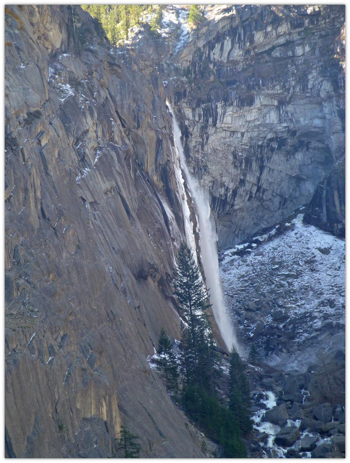
Zoomed look at Vernal Falls.
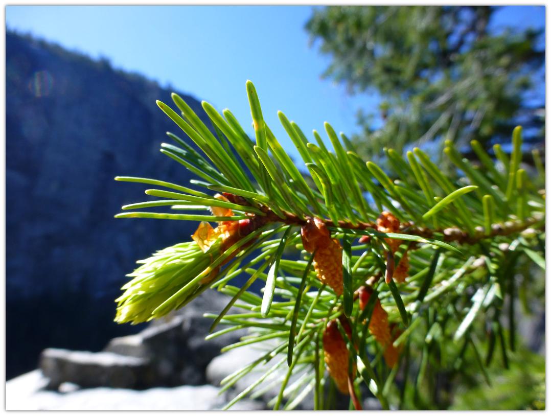
Teeny, tiny Douglas Fir cones were just beginning to start their cycle up at Sierra Point.
We sat out on the rocks for a while, had a snack and took in the beauty of this wonderful place. We then headed back down.
Distance: 4 Miles
Difficulty: Difficult
Elevation Range: 3,970′ – 5,002′
Date: April 17, 2013
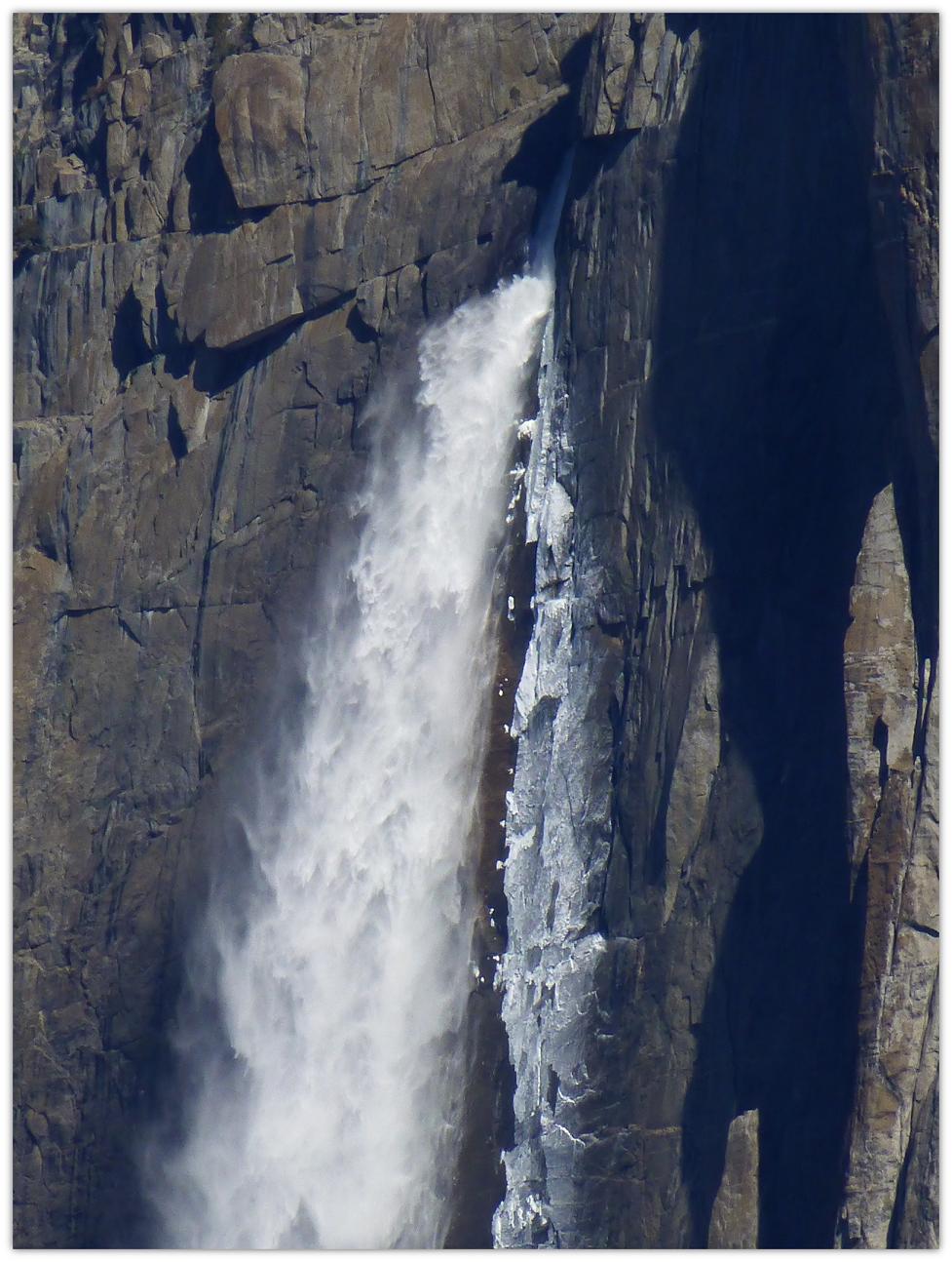
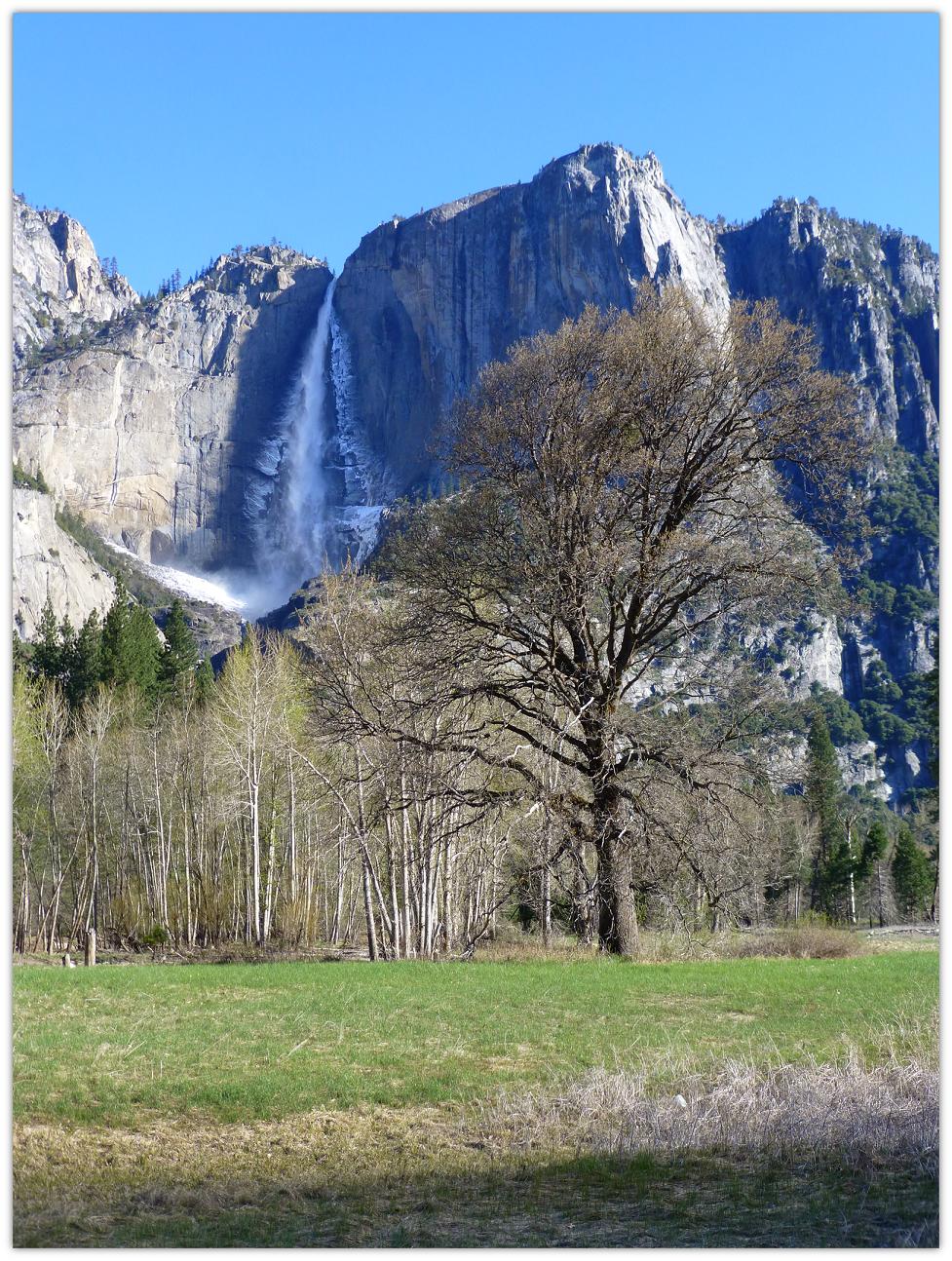 As we drove into Yosemite Valley the day after a wild storm, we just had to stop and take pictures of Yosemite Falls, with ice and snow still covering the cliffs.
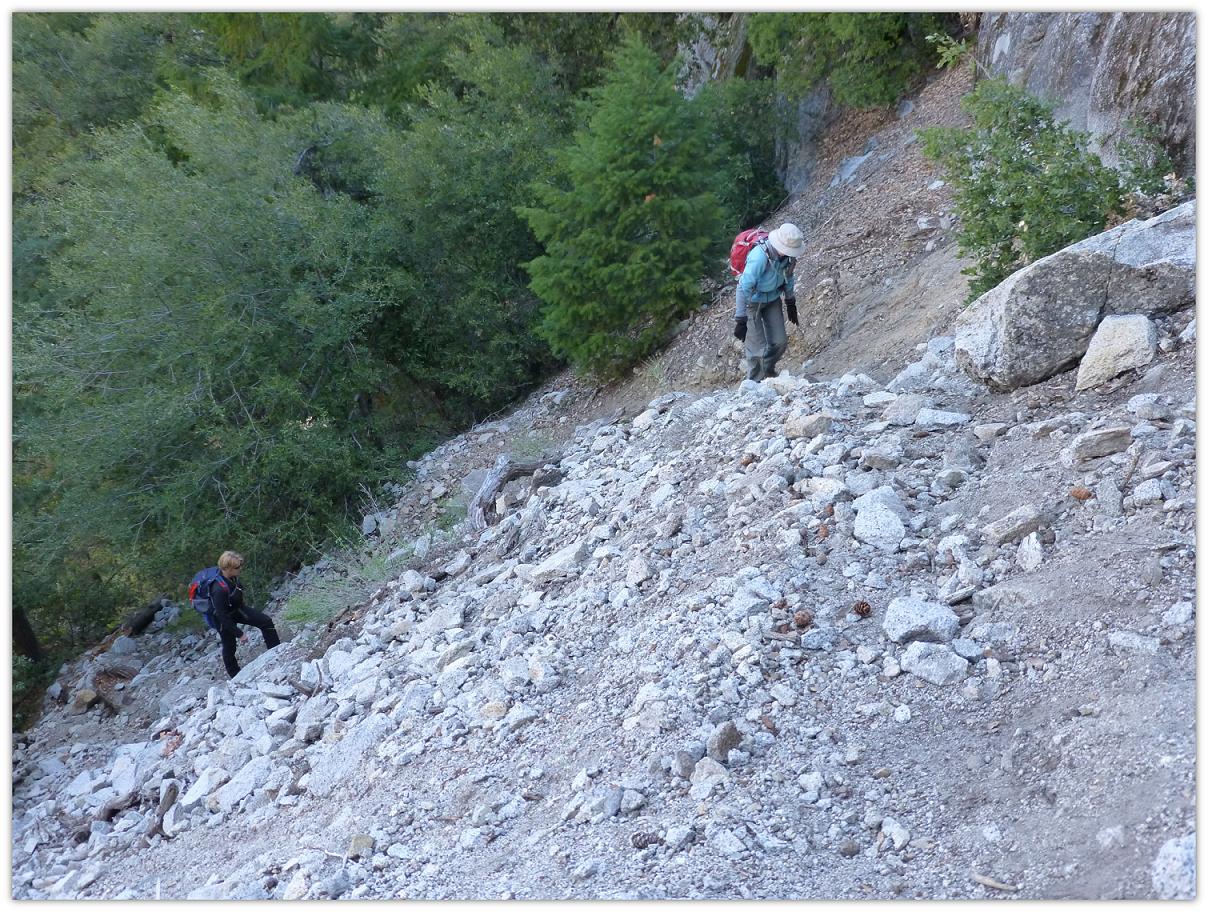
 You can see many different “trails” where people have headed up. We tried to pick out way up the easiest way we could see. As we moved up the hill through some of the slide areas, the ground was loose and rocks could easily be dislodged, so we kept our distance between us to make sure we didn’t kick a rock loose on one of us.