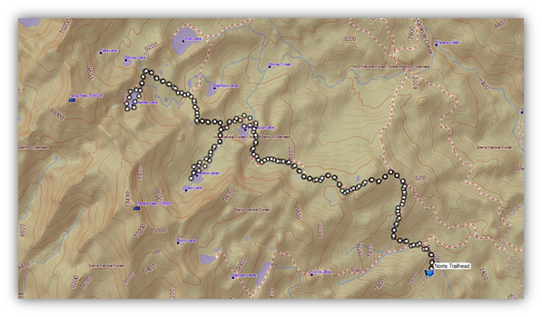
I found it! That elusive fall color that I have been searching for was not too far away and we had some beautiful high lakes thrown in as a bonus treat. On our hike this week we headed to the Ansel Adams Wilderness Area. We drove up Beasore Road near Bass Lake, also known as the Sierra Vista Scenic Byway, to the Norris Trailhead to pay a visit to Vandenberg Lake, Chittenden Lake and Lady Lake.
Where: Sierra National Forest/Ansel Adams Wilderness
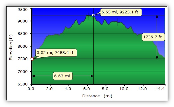
Distance: 15 Miles
Elevation Range: 7,144 to 9,234′
Date: October 2, 2012
Highlights: Autumn colors ranging from the vibrant red Willows to the yellow ferns and gorgeous high lakes with reflections of mountains, trees, fall color and a few jumping fish.
We headed up Beasore Road near Bass Lake to the Norris Trailhead. The road is paved at the beginning but that pavement later comes and goes with an assortment of potholes and washboard sections. It would be a little tricky for a low clearance vehicle to drive at this time but I think you might be able to do it if you were very careful. We took a left turn on an old logging road that was signed to the Norris Trailhead and drove to the end of that road where there is a large dirt parking lot with 6 bear boxes. We stored our food there, along with any other items that a bear might find irresistible while we hiked.
After a short hike up the trail, we entered into the Ansel Adams Wilderness Area.
This Wilderness was designated by Congress in 1964 and is bordered by the Yosemite Wilderness to the north, the John Muir Wilderness to the southeast and is managed by the United States Forest Service and the National Park Service.
It was originally established as the Minarets Wilderness in 1964 but in 1984 when the California Wilderness Act enlarged the area, it was renamed to Ansel Adams Wilderness to honor the famous photographer.
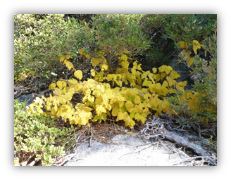
We immediately began to see some fall color.
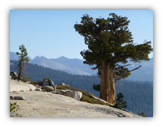
As we topped out at our first high point, we could take in the view, seeing the Minarets fairly clearly to the southeast.
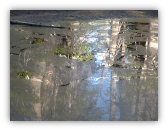
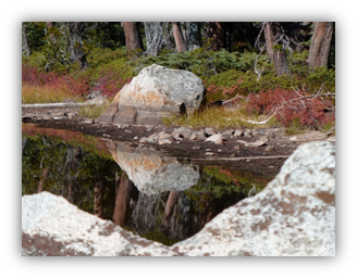
Sometimes it feels like there is beauty all around you, even in a small scummy pond where you could make out the reflections.
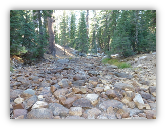
Madera Creek was bone dry. Earlier this year, we had to wade across it.
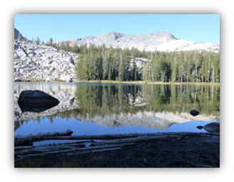
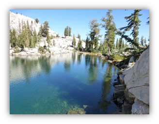
The first lake on our travels was Vandenberg Lake at an official elevation of 8600 and about 10 acres”. The air was still and the reflections on the lake were superb, broken only by fish jumping every now and then!
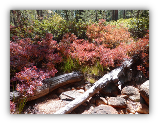
The Willows along the lake had turned red, reflecting in the still waters
.
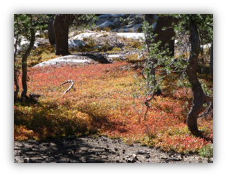
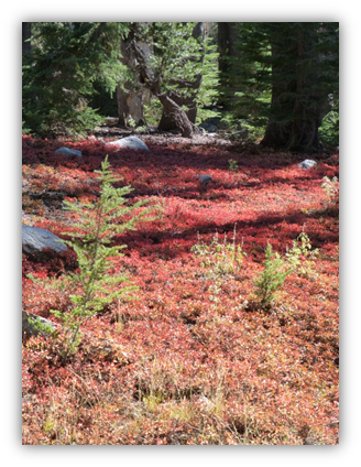
As we continued on the tail to the next lake, there were areas of bright fluorescent red Willows.
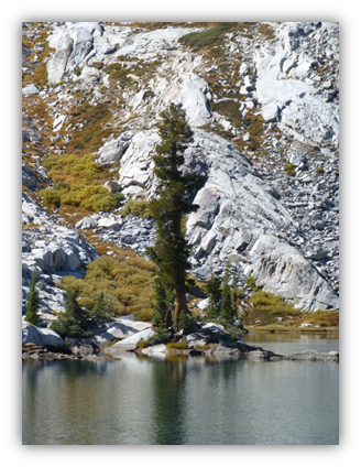
Chittenden Lake is officially 9,200′ and about 8.5 acres, above timberline, and we had a light breeze blowing on and off, but it gave us opportunities to catch some of those nice reflections in the lake.
After a lunch break on a big rock at the edge of the lake, we decided to walk around to see what we could discover. Vivid Colors surrounded the lake, all nestled in between the rocks.
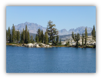
Looking back toward the outlet of Chittenden Lake, we could see the Minarets and other far away mountains.
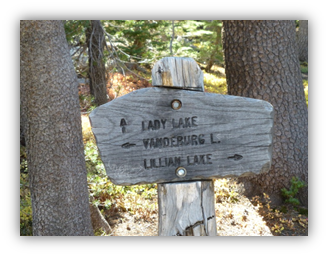
We headed back down the hill to visit Lady Lake.
As we started down the trail to Lady Lake, the more vibrant colors of the day started to reveal themselves along the trail. We reached Lady Lake, our last lake of the day. Lady Lake, officially 8,700′, is actually one of several lakes that are also known as the Madera Lakes. It is about 10 acres.
It was time to start heading back to the car but we couldn’t put away the cameras just yet when these mosaics of red Willow beckoned us.
We made it back to the car safe and sound. It was long, challenging hike but well worth the effort to see those vivid fall colors.
We saw a few critters on our hike, including a grouse and mouse but I wasn’t quick enough to capture their pictures.
As we headed out of the Norris Trailhead parking lot, this gal was in the middle of the road and my critter picture of the day.
She stopped munching on ferns long enough to say Howdy to us.
Sometimes it feels like there is beauty all around you, even in a small scummy pond where you could make out the reflections.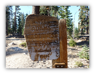


Great job! Good use of pics and topo info. Keep it coming.
Great pics! Thanks for sharing.
Beautiful. Thank you.
Can you tell me which topo map you used? I would love to take this hike. Thanks for sharing!
Chad, I used the Western States Topog off of my Garmin. It is a great adventure!!