I wanted to go as high up on a mountain that I could before winter took these options away from me, so we headed up to the top of Kaiser Peak where we could take a peek at the high lakes and snow covered peaks around us.
Where: Kaiser Wilderness, Sierra National Forest
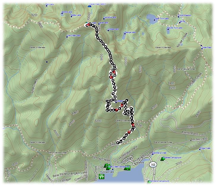
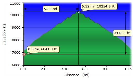
Distance: 10.5 Miles
Difficulty: Moderate to Strenuous
Elevation Range: 7,186′ – 10,320′
Date: November 17, 2014
Maps: Balloon Dome Topographic Quad
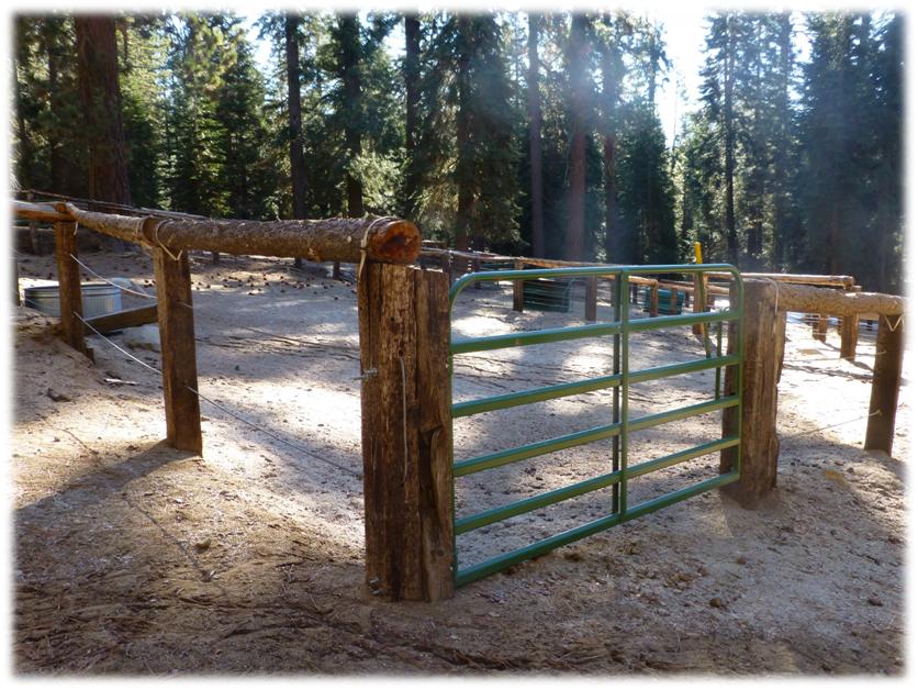
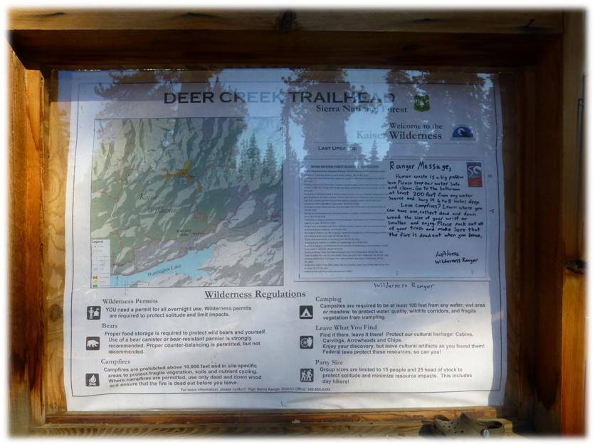
We headed east on Hwy 168 just past Huntington Lake, then turned left on North Shore Dr. We continued on North Shore Dr. for about a mile then turned right on Upper Deer Creek Lane toward the Pack Station. Since we knew the Pack Station would be closed, we parked at a pull out below the Pack Station and walked up the road and through the Pack Station. It was weird seeing the Pack Station without stock in it. Those empty corals looked mighty lonely. It was easy to spot the Deer Creek Trailhead on the upper side of the Pack Station and we headed up the trail.

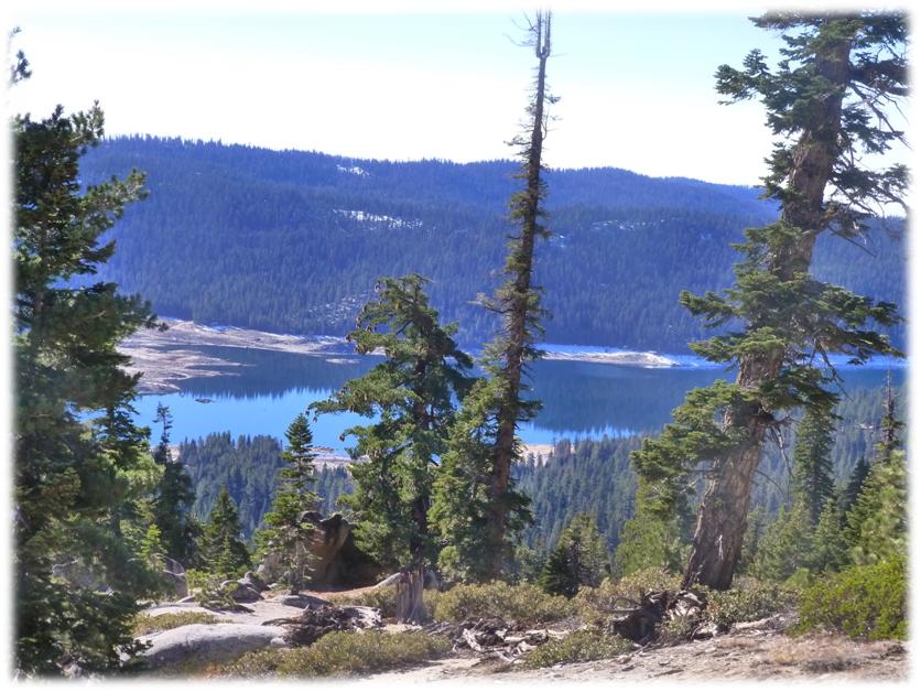
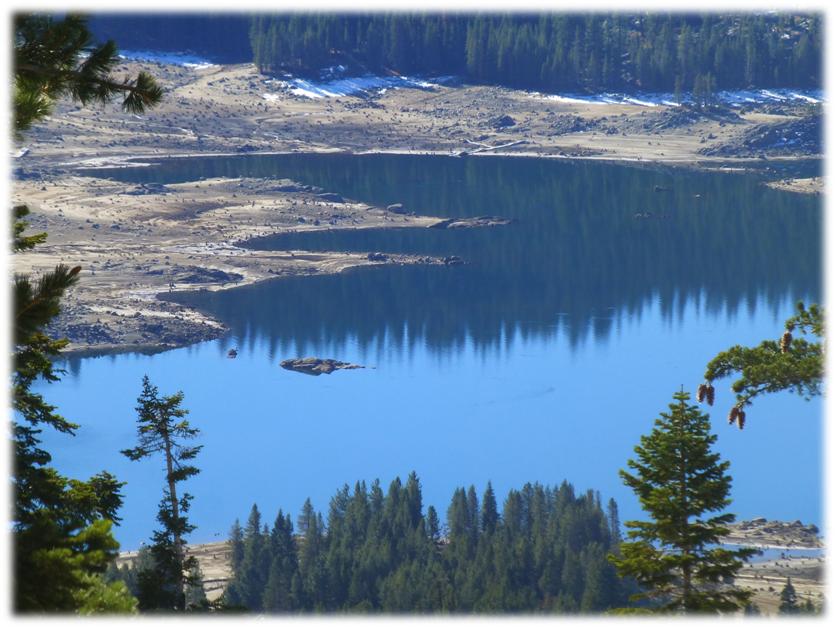
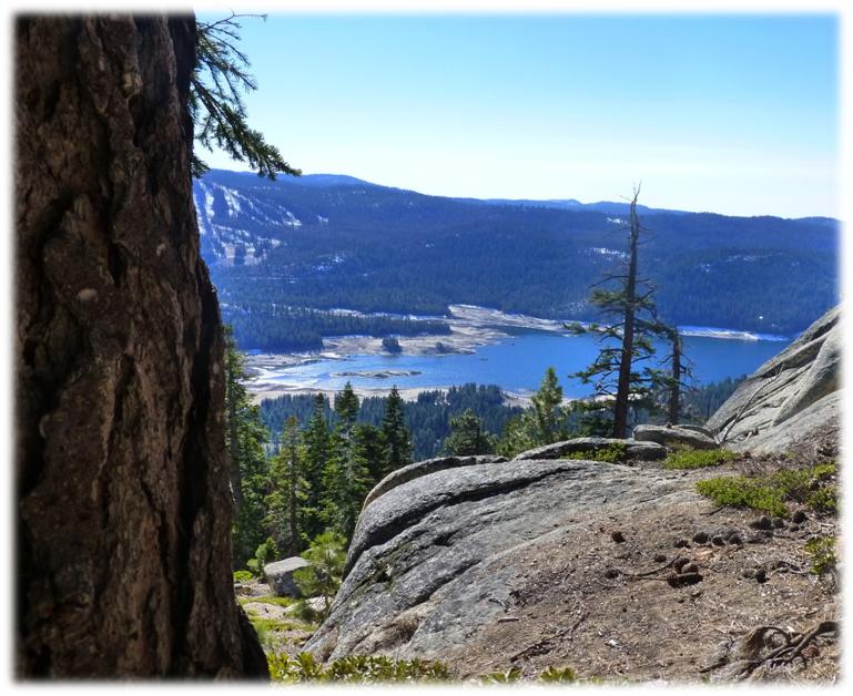
As we gained elevation, there were several places where we could capture views of Huntington Lake on our way up.
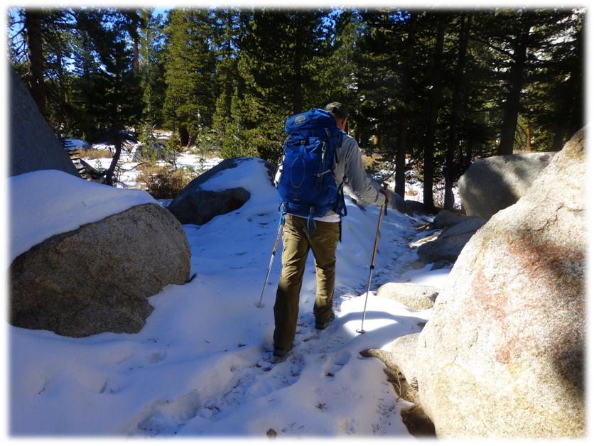
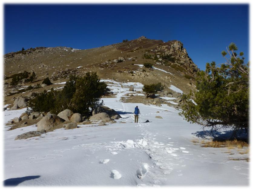
It wasn’t too long before we started hitting patches of snow on the trail but these spots were easy to walk though. . .for the present time.
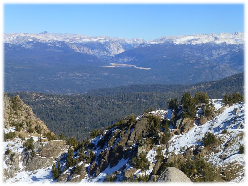
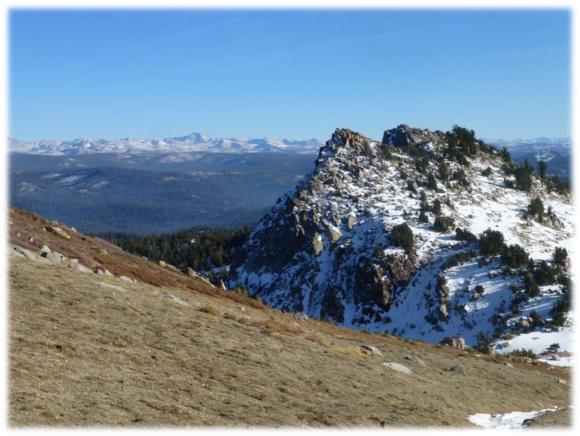
We finally broke out above tree line and could see where we were headed but I had already been warned about the false summit on Kaiser Peak, so knew that this mountain was trying to fool me by trying to tell me that my goal was in sight. I knew better.
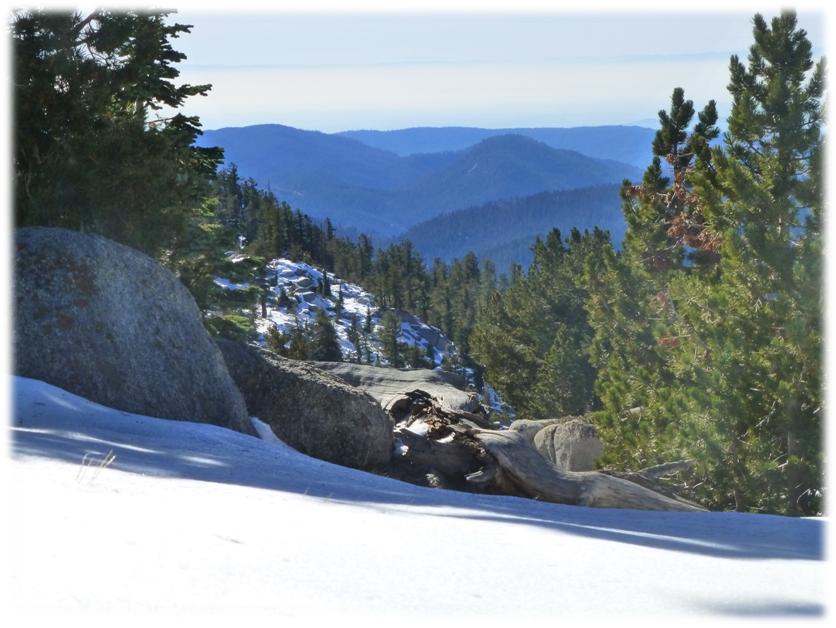
I took a look back toward the valley and the fog had lifted to create a layer of white with the Coast Range just peeking out over it.
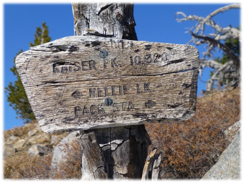
We continued our walk up the final approach to the peak. A wooden sign pointed to the top but I think we could have figured that one out.
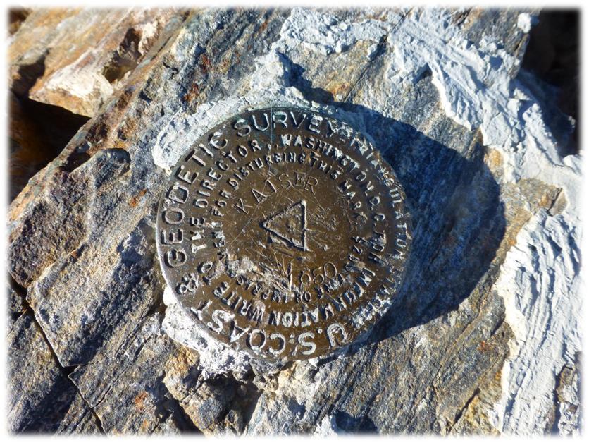
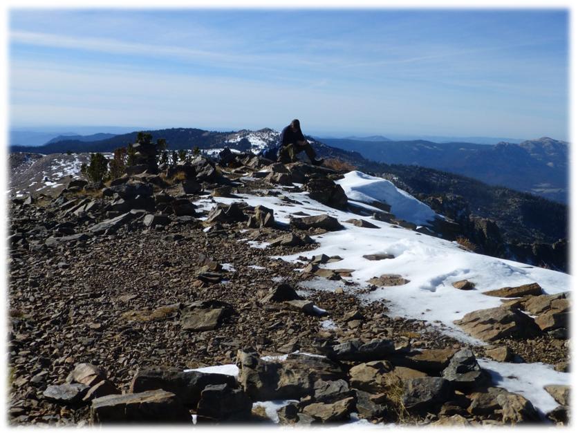
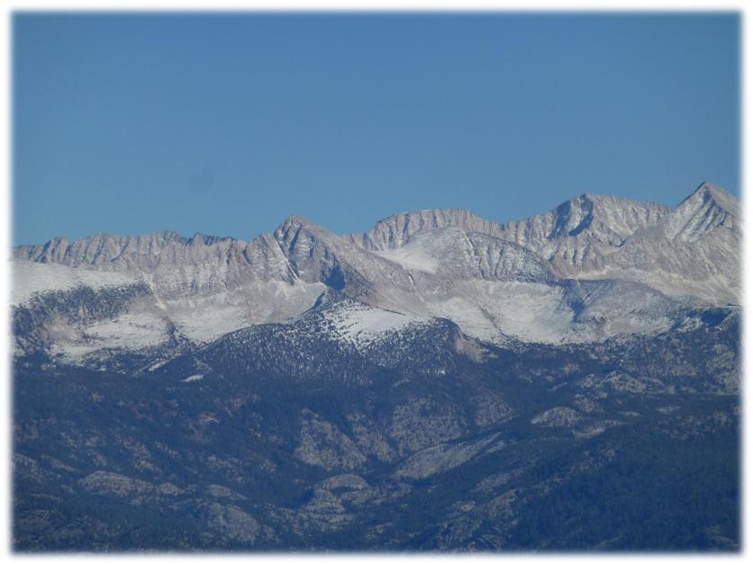
We checked out the Summit Marker and the amazing views. Kaiser Peak is the high point along Kaiser Ridge, located in the Kaiser Wilderness. The Kaiser Wilderness is a smaller Wilderness Area, but the John Muir Wilderness and Ansel Adams Wilderness border it, so you really have a large area of wildernesses to explore the many lakes and peaks and play in this area.
I tried to find out how Kaiser Peak got its name so I went to one of my go-to sources to try and figure it out. “Place Names of the High Sierra” by Francis P. Farquhar says that “Kaiser or Keyser: both are used locally. The name is very old, and its rightful spelling unknown. I remember hearing the old miners speak of Kaiser Gulch (a placer district) way back in 1862, the year of the big flood; but I know nothing as to the name.” (L. A. Winchell: Manuscript, 1896.) Kaiser Gulch appears on Hoffmann’s map, 1873.”
Of course we had to take our pictures up on the top then enjoyed our lunch.
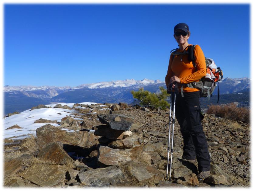
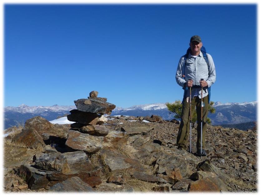
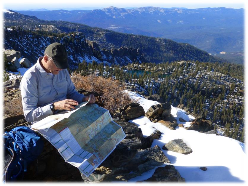
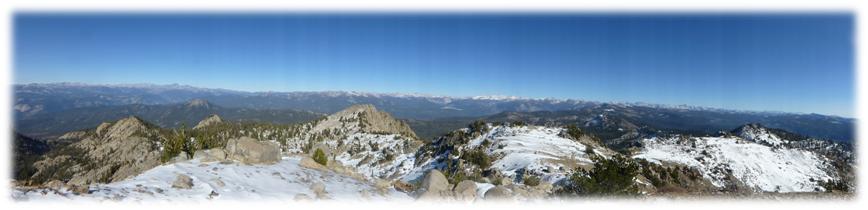
We pulled out the map to try and help us figure out which high peaks and lakes we were seeing.
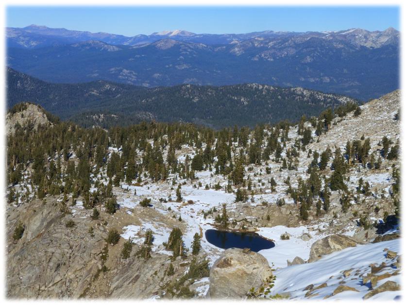
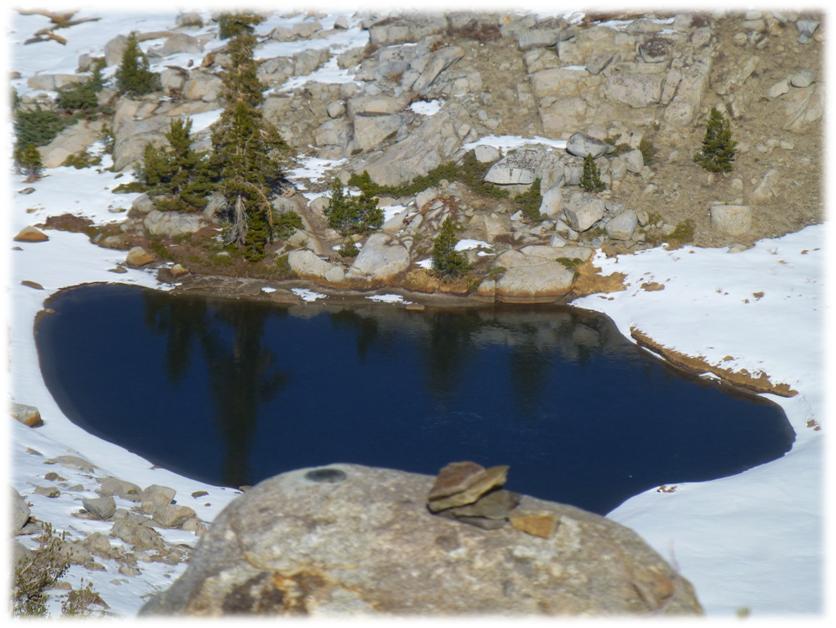
This beautiful small lake was located right below the summit and where we had our lunch. It is called Jewel Lake.
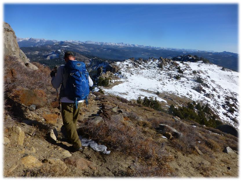
We started heading down, hugging the edge of the ridge so we could see what was directly below us.
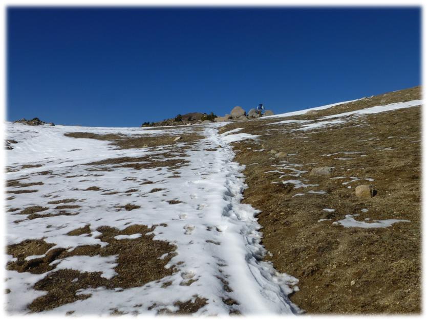
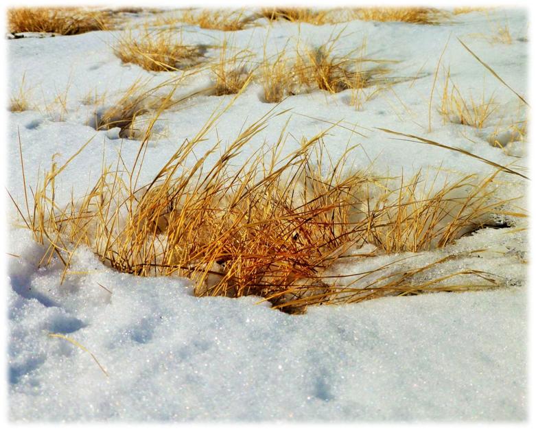
I just love the way the dried grass contrasts with the white snow.
We had a great workout and picked a fantastic spot to check out the higher country that we will be missing until spring.
Sources: