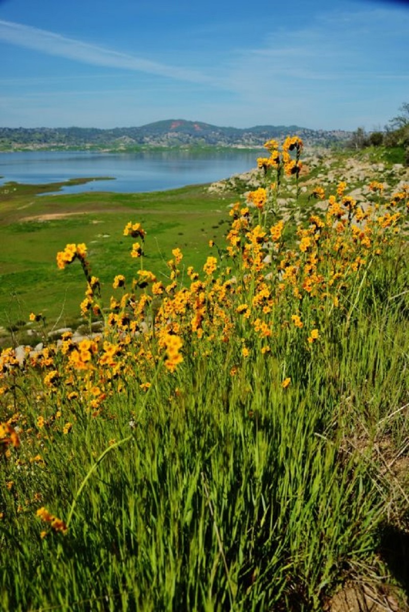
Not all hiking trips go as planned and this is one of our doozies and it was all my fault. We chose this hike to check out the wildflowers at Eastman Lake and had heard that the eagles were flying there. That would be so cool to see an eagle!
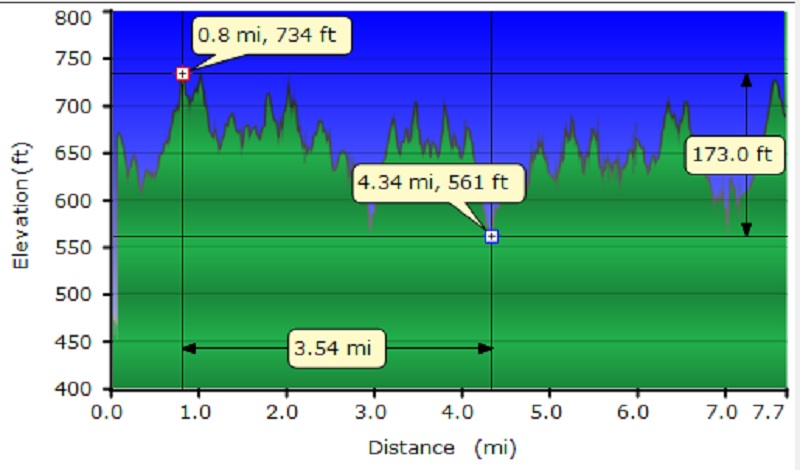
Distance: 8 Miles
Difficulty: Easy to Moderate, depending on how far you go
Elevation Range: 636′ to 1,861′
Date: February 24, 2016
Maps: Ben Hur and Daulton Topographic Maps
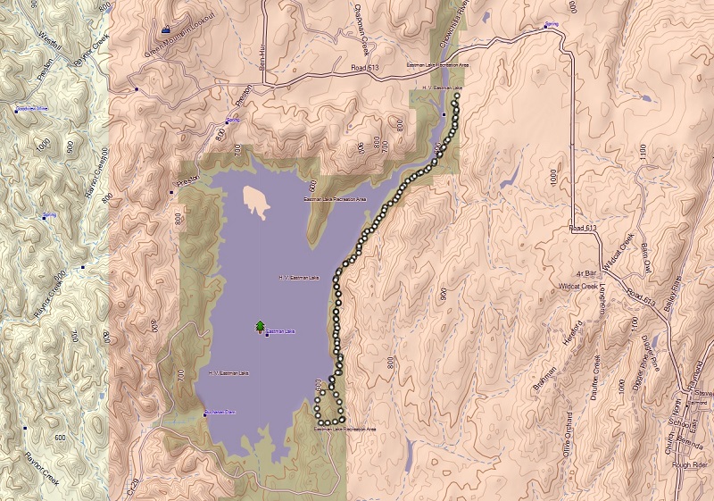
You can start this hike from either end of the 4 mile Lakeview Trail. Here are the directions if you start this hike at the upper Trailhead at the Raymond Bridge like we planned. Head north-ish at Raymond on Rd. 613 about 6 miles until you are at the Raymond Bridge which crosses the Chowchilla River. From Fresno take Highway 99 past Madera and exit to Avenue 20 ½ and turn right to stay on Avenue 20 ½ which turns into Avenue 21, continue straight as the road changes to the Raymond Rd. (Road 603) to Raymond. Turn left in Raymond to Road 613 and drive 5 miles to the Raymond Bridge where the Trailhead is located. This is the far upper end of the lake.
Now here is the sad story about what went wrong. Again, all my fault! We had landed on hiking the Lakeview Trail at Eastman Lake, even talked and emailed about meeting at the Trailhead at the Raymond Bridge off of Road 613 out of Raymond. Well, when I got up that morning, I left plenty early and was at the Trailhead on the south end of the trail at Eastman Lake waiting for everyone when I realized my mistake. Cell phone coverage was zip and I figured by the time I drove up to the north end, it would take too long, so I sent them a text message that I was at the wrong end and to start without me. I figured at some point, the text message would reach them. I also figured I could run/walk the 4 miles and meet them up toward their end of the trail. Well, they knew this just wasn’t like me to be late and got worried, sent me voice mails (which I couldn’t see because of no cell coverage), then went driving the route that they thought I would have gone on, even stopping at looking over the side at the site of an old wreck. They finally hit a good spot where they got my text and started down the trail from the top.
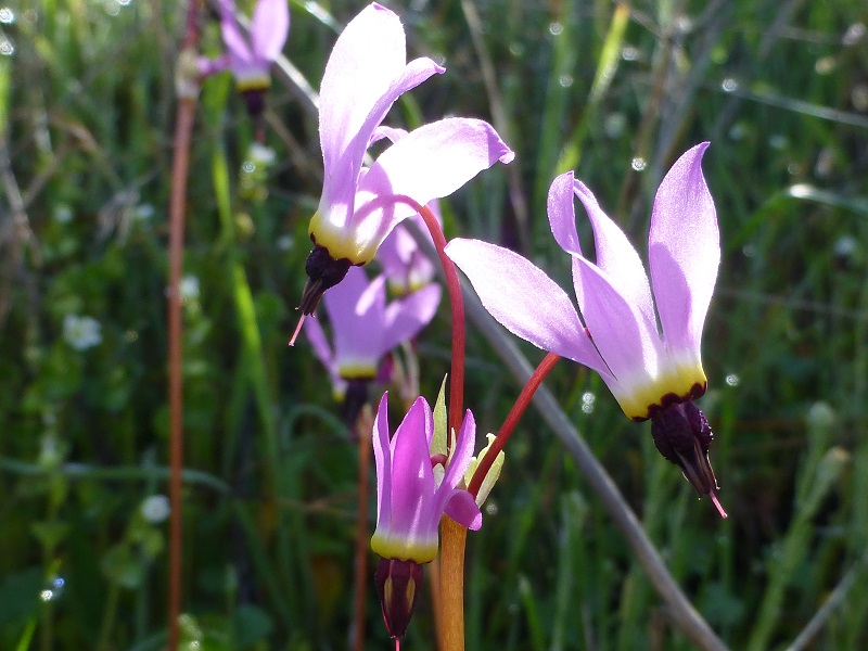
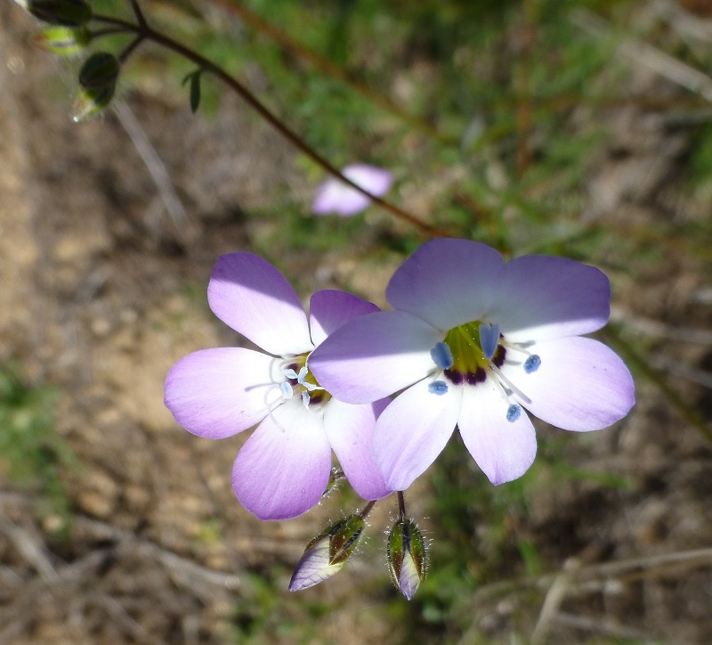
As I was run/walking up the rolling trail, there really weren’t too many wildflowers out so when I spotted some shooting stars, I had to take a picture of them.
I met up with my hiking buddies about 1/4 mile from the top of the trail. I still have not stopped apologizing to them and don’t know how I will ever make it up. But boy, was I happy to see them!

From the trail, we spotted flat rocks that looked like they have been used as mortars to grind acorns. Yokut and Miwok tribes once lived in this area so these very well could have been used by them.
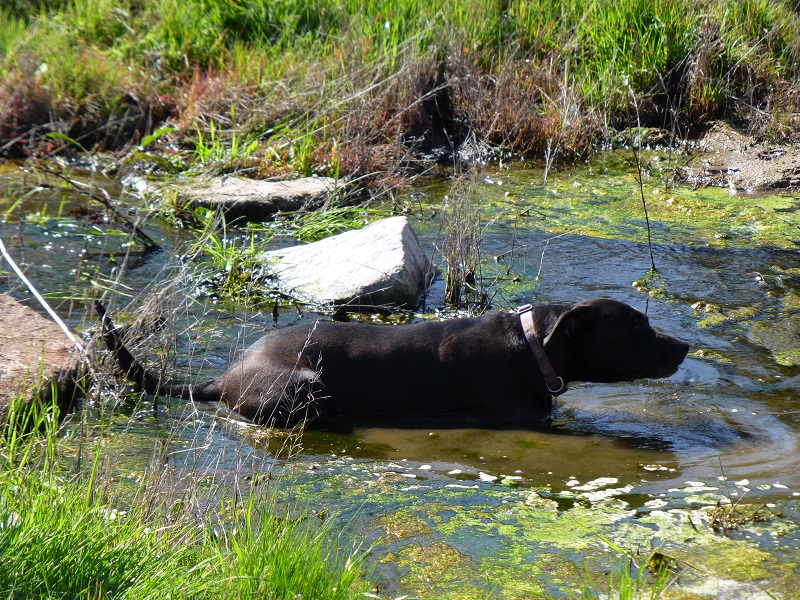
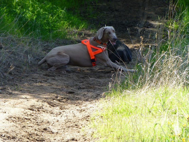
The trail crossed a small creek, which Raven was happy to cool off in.
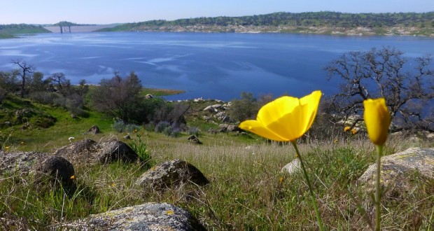
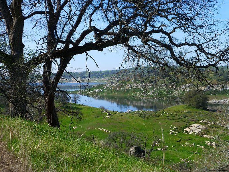
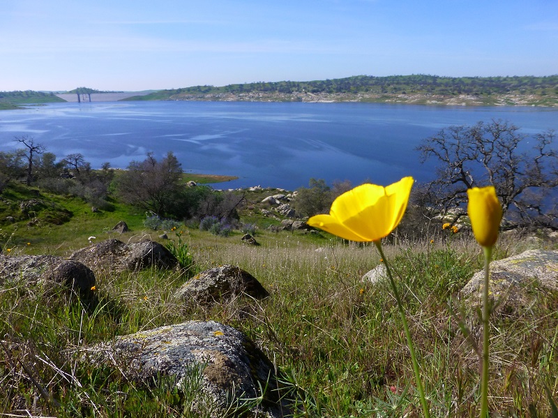
As the trail wound along, we started capturing views of the main part of the lake. Eastman Lake is one of 2 Federal Recreation Areas in Eastern Madera County and at its maximum capacity, the lake has 1,780 surface acres and holds 150,000 acre feet of water. The Buchanan Dam was built in 1975 on the Chowchilla River and is an earth and rockfill dam 218 feet tall and 1,746 feel long. The purpose of this United States Corps of Engineers project is flood control and irrigation. There is alot to do at Eastman Lake. There is camping, boating, picnicking, fishing, swimming, hiking, volleyball, horseshoe pits and trails. The trails are open to horseback riders, hikers and mountain bikes.
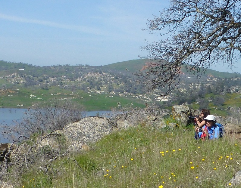
We found a great spot for lunch and as we were settling down, we noticed that poppies were all over this area.
We were burning daylight, so we headed down the trail. Well, we didn’t head too far down it before we started seeing more poppies that we just needed to take some pictures of.
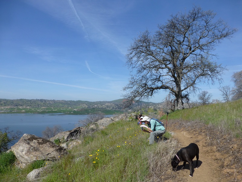
Sally and Raven waited patiently in a cool shady spot for that picture taking to get finished.
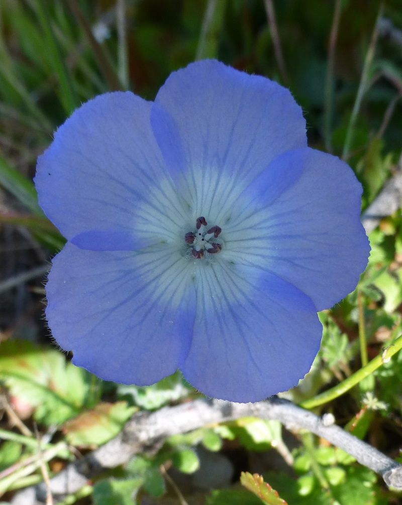
And we started seeing some more colorful wildflowers, but not a whole lot yet.
Fiddlenecks by Debra Sutherland
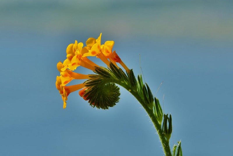
Fiddleneck by Debra Sutherland

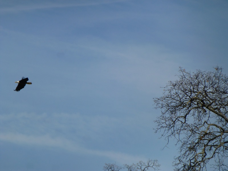
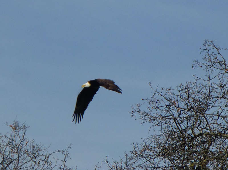
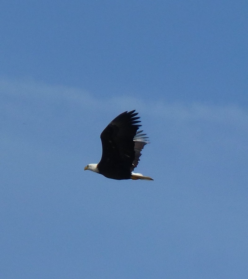
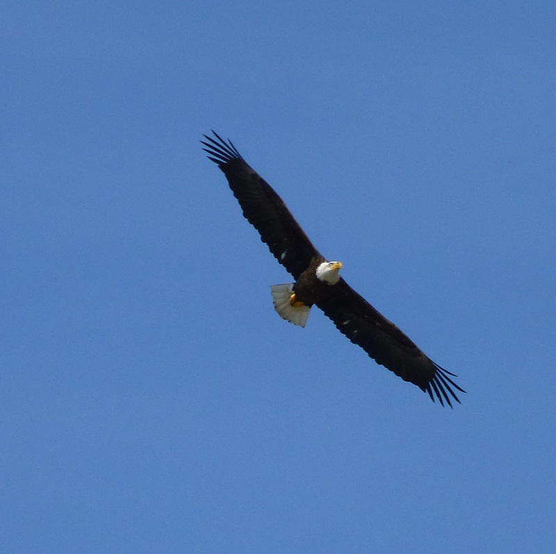
We cut over to the launch ramp to use the restrooms and add some more water for to our groups supply for the 4 mile hike back up to their cars. I looked up and spotted this eagle getting ready to land on a tree, then slowly circling above us, then away.
I wasn’t very far from the Trailhead where I had parked my car, but the rest of my group had a warm walk back up. So, Chris did the logical thing and shed a layer of clothing for that afternoon hike back.

We kept our eyes open for rattlesnakes but didn’t see any. I am sure they are starting to come out in this area and we kept a tight reign on the dogs, not allowing them off trail. It was also warm, warmer than we were used to. We brought lots of water and we drank it. These are some things to pay close attention to if you hike this trail. Oh, and also make sure you are at the correct starting point when you hike with a group.
Note that there is a $5 fee for a one day pass to Eastman Lake. The good news is that the Corps of Engineers is now included in the America the Beautiful Interagency Pass which you can purchase for an annual fee of $80, giving you access to National Parks and other federal lands. If you are 62 or older, you can purchase a Lifetime Senior Pass for $10 which will give you that same access. There are other fees for things such as camping and day use shelters. You can check out their website for more information at the end of this blog.
Sources
Codorniz Recreation Area Campground

