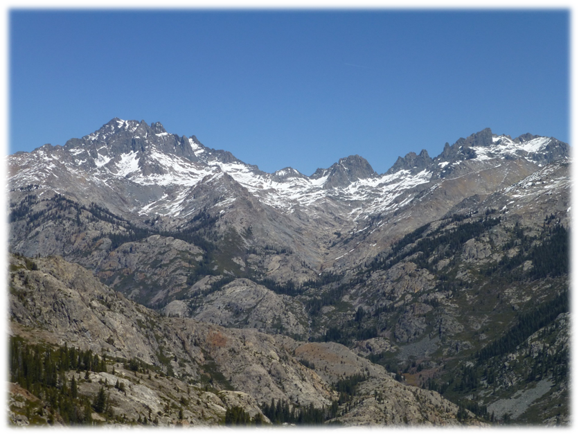
Standing at Surprise Saddle, I felt like I could almost reach out and touch massive Mt. Ritter across the canyon. The sky was so clear with the bluest sky above me and that knobby granite drainage below me looked so rugged. I couldn’t help but imagine the people of the past who walked in my footsteps. This country’s rich history started with the Native American people, then the Sheepherders and Miners, then the Military and Surveyors and today’s hikers, backpackers and riders. On this hike I got to see where it took place from an amazing vantage point.
Where: Sierra National Forest, Ansel Adams Wilderness
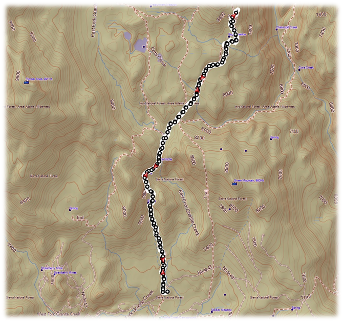
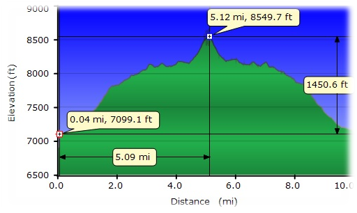
Distance: 10.0 Miles
Difficulty: Moderate
Elevation Range: 7,130′ – 8,491′
Date: April 15, 2015
Maps: Cattle Mountain and Merced Peak Topographic Quads
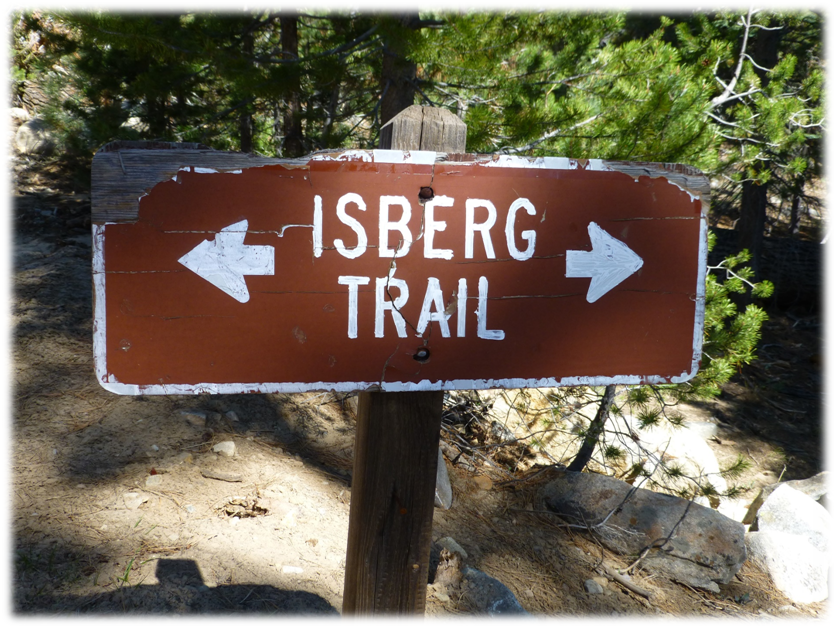
You won’t find Surprise Saddle on any topographic map but you will find the Isberg Trail. There are all kinds of possible hikes to take in this area where you can get those amazing views of Mt. Ritter and the surrounding peaks contrasted with the San Joaquin River drainage.
I wondered how the Isberg Trail got his name.
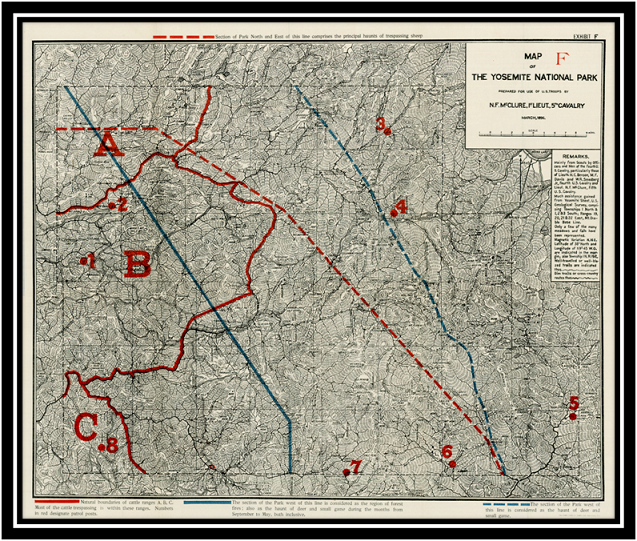
I wasn’t able to completely pin it down but did find out a little bit. “California Place Names” says that Isberg Pass was named by Lt. N. F. McClure for a soldier in his detachment, a native of Norway, who in 1895 discovered the route while prospecting for sheepherders’ trails. I located an interesting online account of Lt. McClure’s visit to the Yosemite area and have a link at the end of this blog.
He first visited the area in August of 1894 with the 5th United States Calvary. Some of these old sheep trails, which were previously old Indian trails, became Calvary Trails and are now part of the Pacific Crest Trail. Here is a link to the 1896 map that Lt. McClure made of the Yosemite and surrounding areas. If you go to the link, you can look at more detail of the old map and you will see that some of the current names differ from the names back then. Lt. McClure named several peaks that included Arndt, Fernandez, and Foerster Peaks after some of his men.
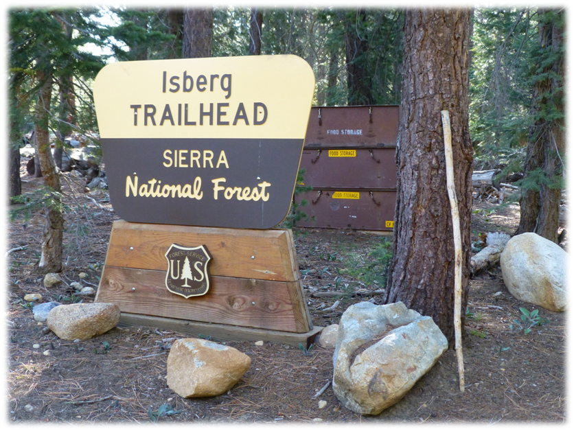
We drove up Beasore Rd. to the fork in the road that goes to Clover Meadow. We made a quick bathroom stop there. It wasn’t a fancy bathroom but the one-holer served its purpose and was clean. Shortly after passing the Clover Meadow Ranger Station, the road forks and we followed the signs for the Isberg Pass Trail. Just past the Isberg Trailhead sign, there was a signed parking lot with bear boxes on the right hand side of the road where we parked and stashed our post hike snacks.
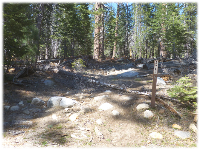
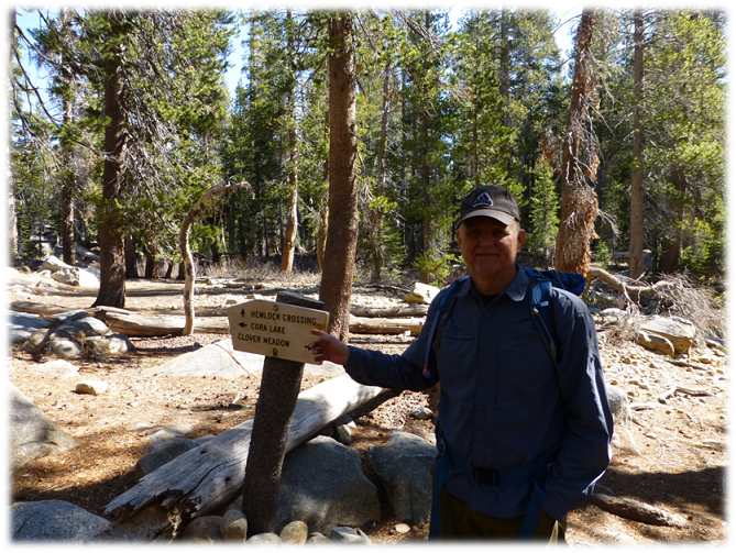
Heading up the trail toward “The Niche”, there were several trail junctions along the way, but on this trip they were all signed. I understand that this has not always been the case though. The trail had a moderate gain to it as we walked though trees and shade at the beginning, then became more open.
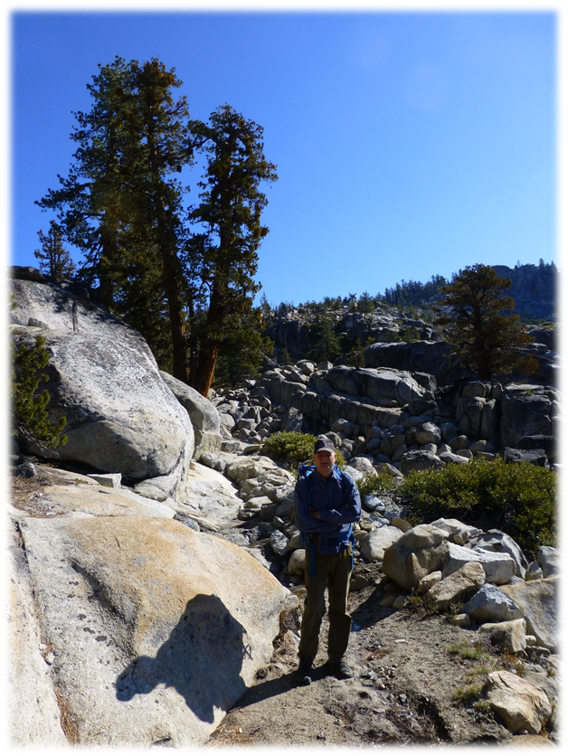
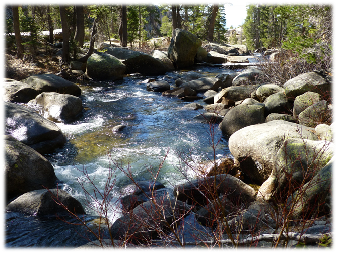
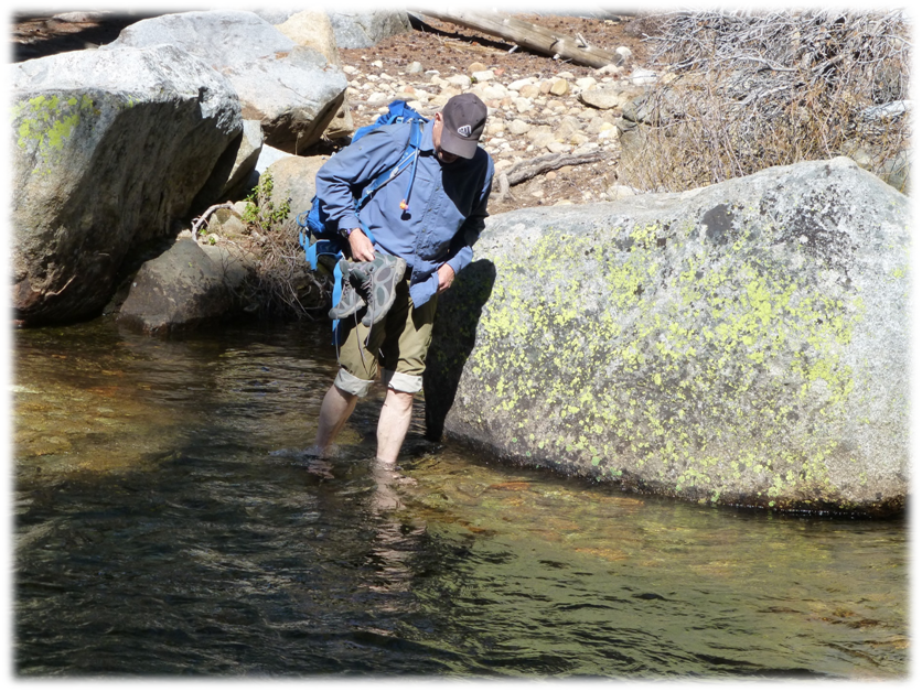
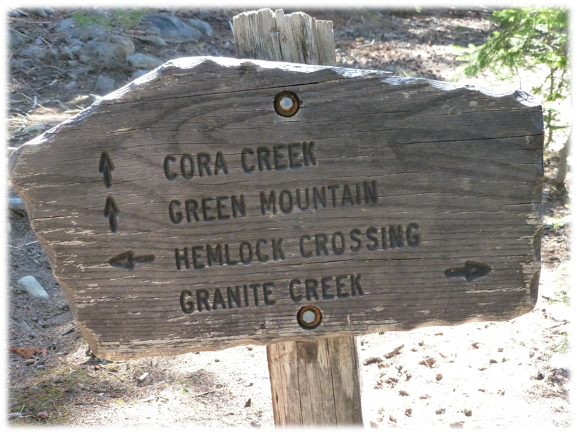
We crossed into the Ansel Adams Wilderness and the trail followed along the East Fork of Granite Creek. We followed the signs toward Hemlock Crossing, then we reached the point where we had to cross the East Fork of Granite Creek. Steve had neglected to let me know about this creek crossing ahead of time so I didn’t bring water shoes. Steve was well prepared though. The water was pretty darn cold. My dad would have said that the water was colder than a well digger’s bottom.
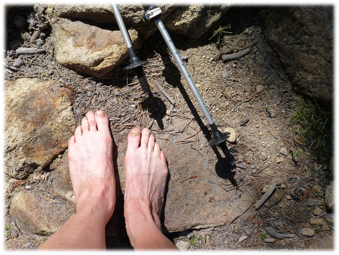
After drying off our feet and putting our boots back on, we continued up the trail toward Hemlock Crossing on the Cora Creek Trail.
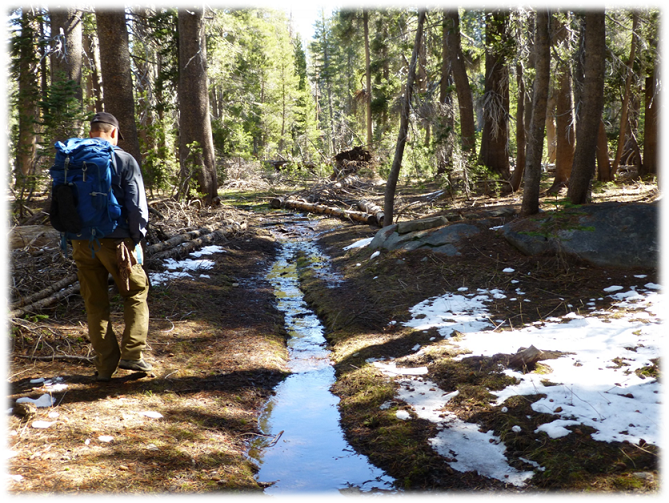
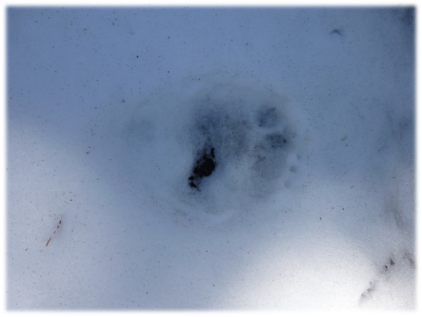
I had been noticing the animal signs on the trail as we walked. We had seen bear and coyote tracks earlier, along with bear, coyote and some sort of feline scat. We ran across a snowy patch on the trail where bear tracks were clearly visible but they were a challenge to get a good picture of.
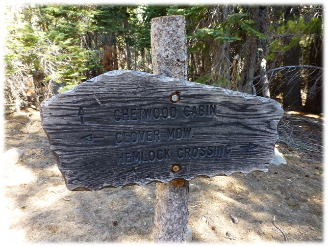
We came to a junction that goes up to the Chetwood Cabin and talked about heading up that way on our way down if we had time. We continued to the right at this fork following the sign toward Hemlock Crossing.
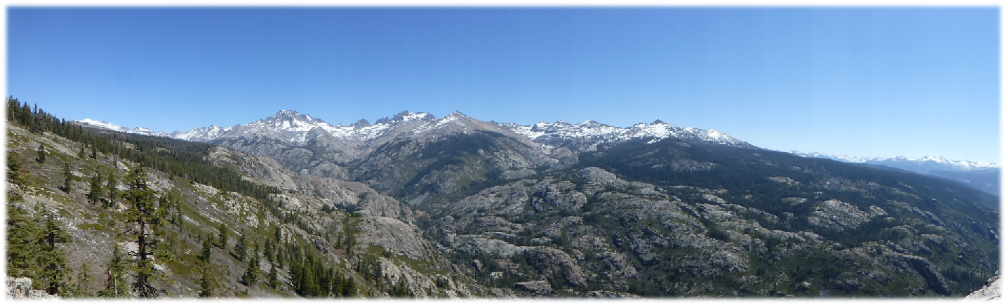
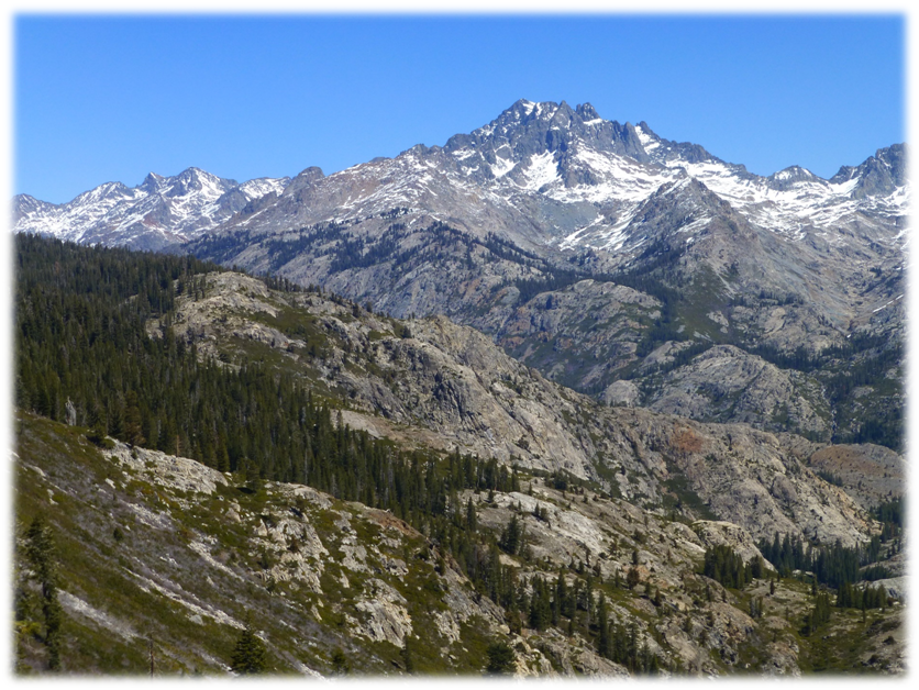
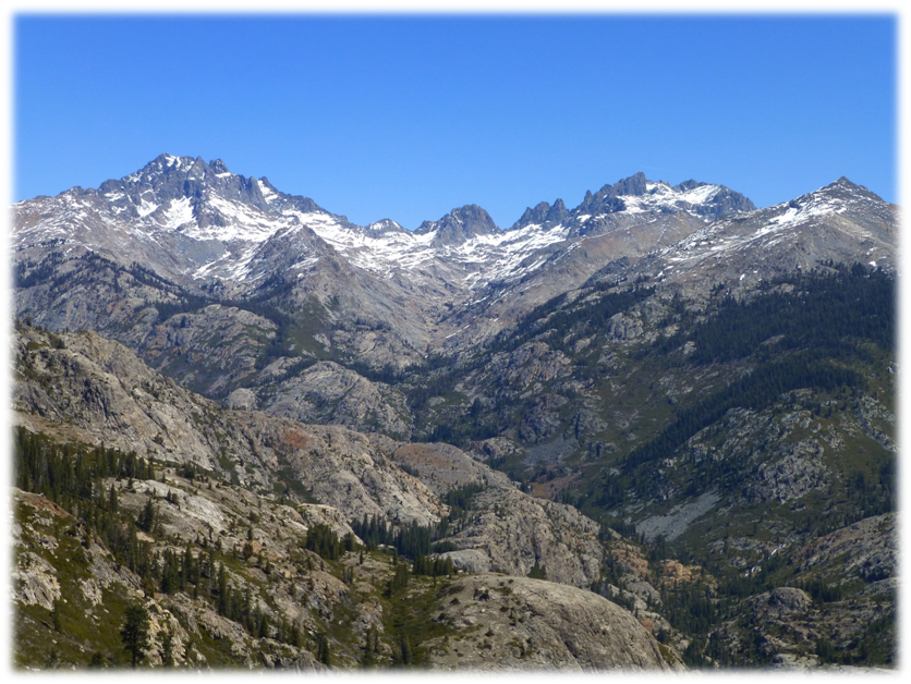
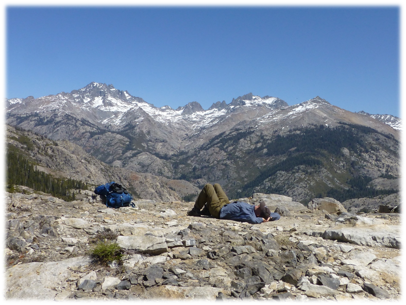
We reached Surprise Saddle and views that I cannot begin to adequately describe started to unfold before our eyes.
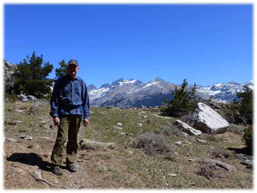
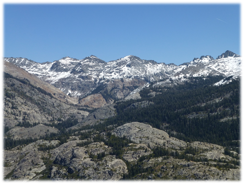
We climbed up on the rocky knob, shed our packs and took in the view. It felt like we could almost reach out and touch Mt. Ritter. We could make out other peaks that comprise the Minarets, along with Foerster Peak, Mount Ansel Adams, Electra Peak and Mount Davis.
Of course, we couldn’t think of a better lunch spot.
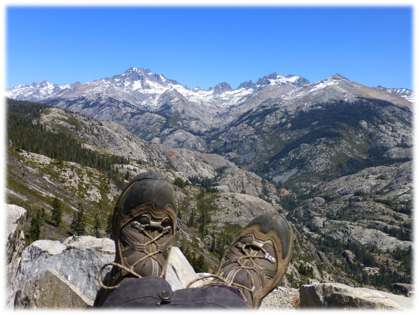
Steve took a siesta after lunch and I walked around, taking a few pictures.
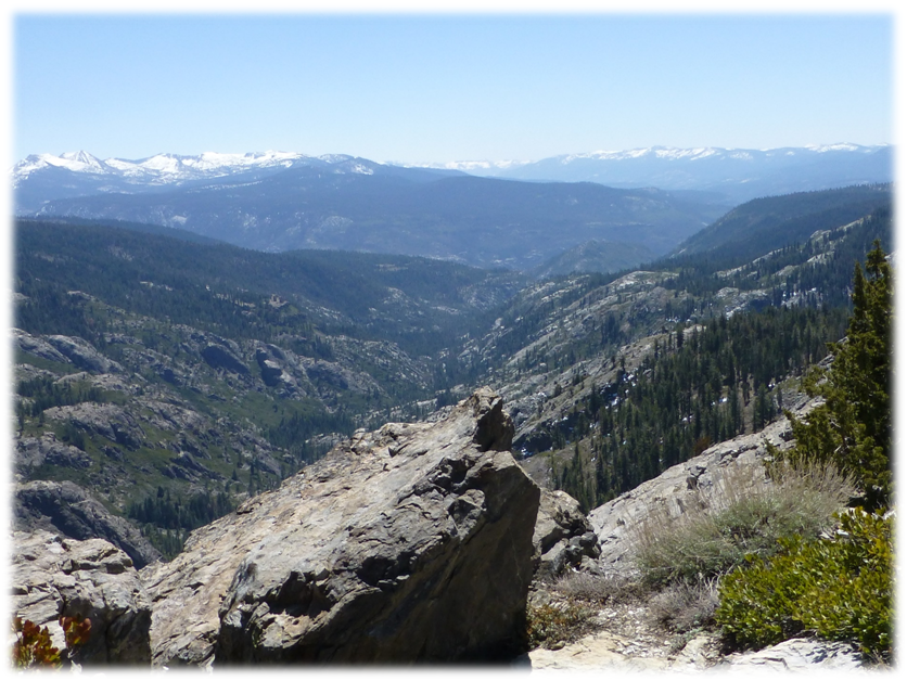
I found a spot where I could look down toward the North Fork of the San Joaquin River drainage. Then I turned around and I could see a slightly different view up the drainage of the Minarets and Mt. Ritter.
It was time for us to head back down the trail and we decided to save a visit to the Chetwood Cabin for a future hike. We had an fairly easy hike back down the trail. Those views from Surprise Saddle are still playing in my head. What an amazing hike!
Sources:
Gudde, Erwin G and Bright, William, “California Place Names: The Origin and Etymology of Current
Geographical Names”, University of California Press, 40th Anniversary Edition (February 10, 2010)