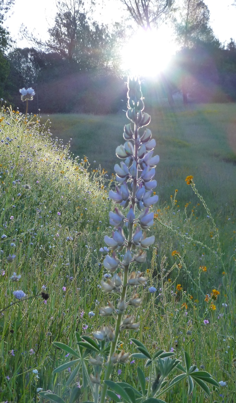
I had gotten word that the San Joaquin River Trail was loaded with many different types and colors of wildflowers putting on a great show. We had to check it out.
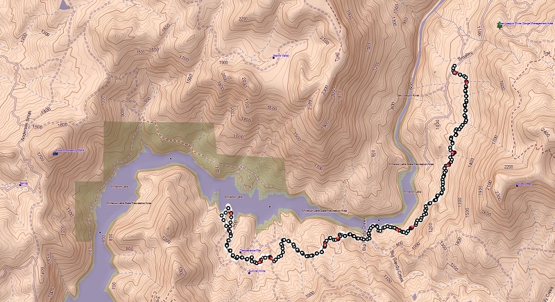
Where: Bureau of Land Management, San Joaquin River Gorge Special Management Area, Millerton Lake State Recreation Area
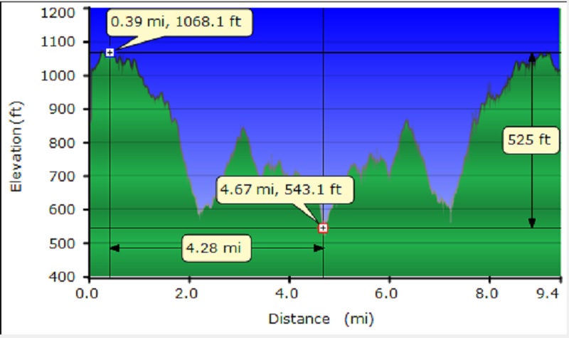
Distance: 9.41 Miles
Difficulty: Easy to Moderate
Elevation Range: 564′ – 1,279′
Date: March 31, 2016
Maps: Millerton Lake East Topog
From North Fork, we drove past Kerckhoff Lake then to Smalley Road where we turned right at the BLM San Joaquin River Gorge Sign. We headed down Smalley Road to the Ya-Gub-Weh-Tuh Trailhead and Campground. There is a well maintained outhouse here and picnic tables. There is also a $5 for day use with a self service payment system.

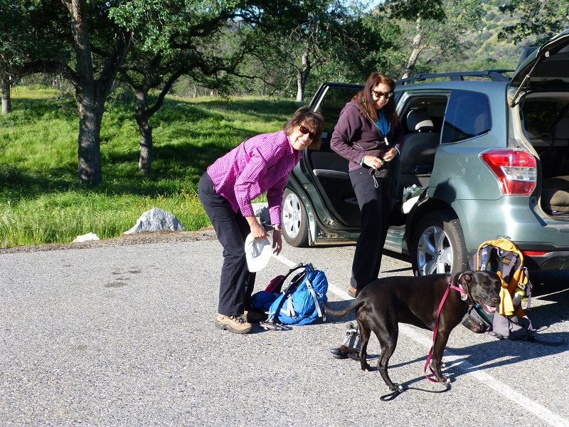
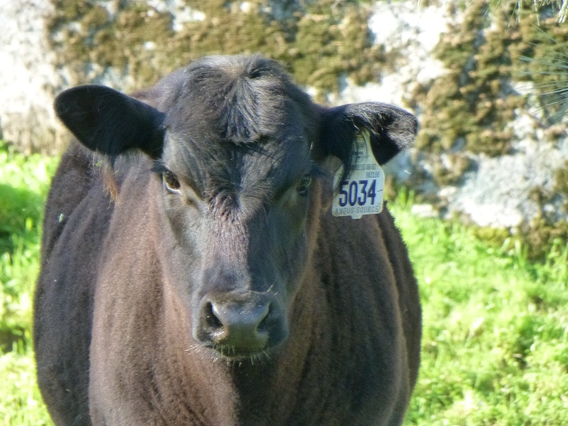
We walked across the road from the parking area and headed down the trail through a gate where a greeting party of cows and their calves met us. They were a friendly group and curious to check us out. Maybe they thought we had brought some food for them.
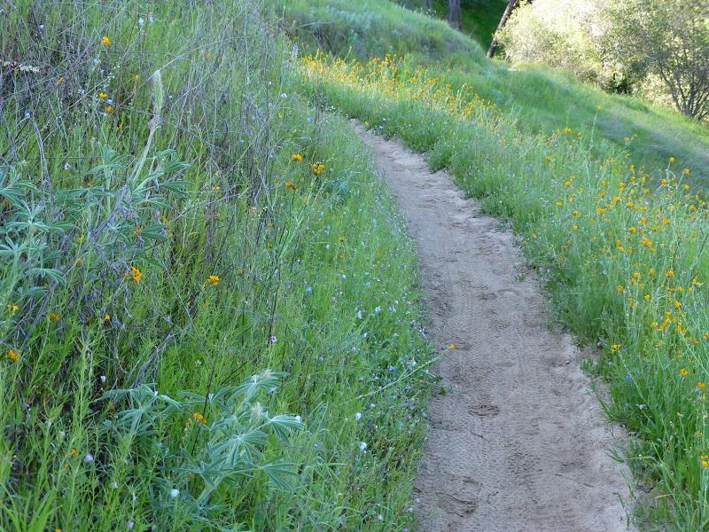
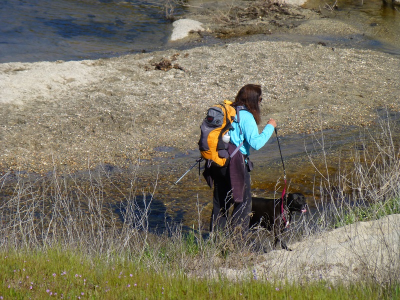
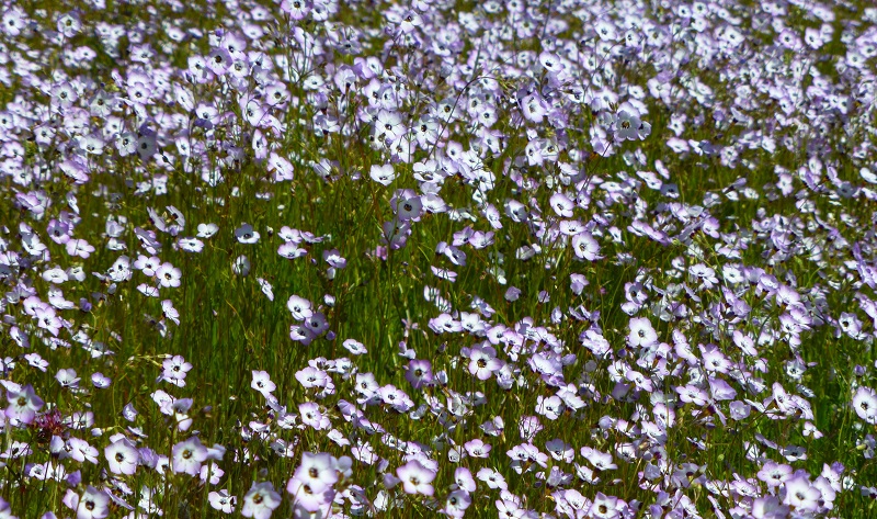
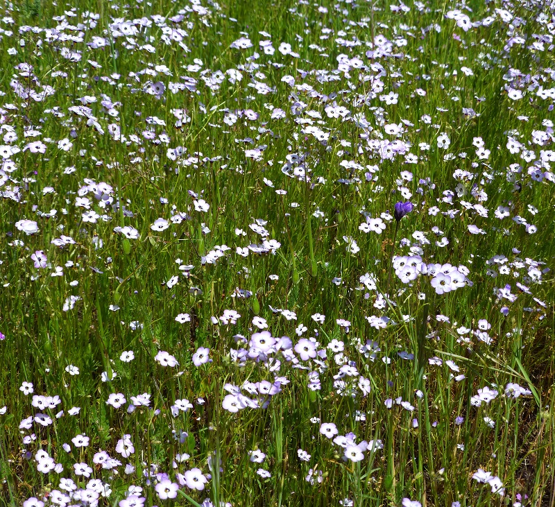
The trail wound through wildflowers and closer to the San Joaquin River where we caught our first glimpse of that beautiful blue water. Of course, we all had to take pictures.
There was plenty to see and take more pictures of as we wandering on.
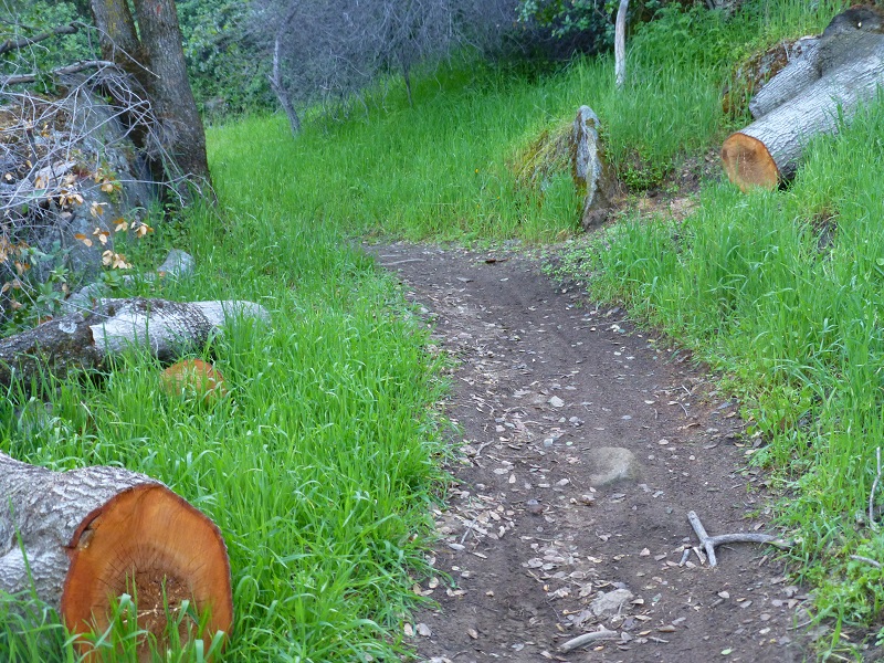
It was clear that some trees had fallen across the trail sometime this winter and a trail crew did a wonderful job of clearing the trail. Thank you!
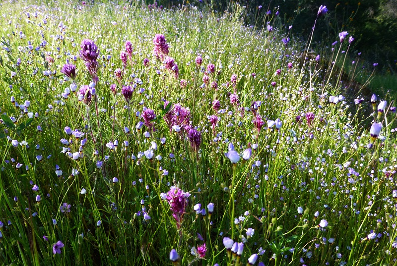
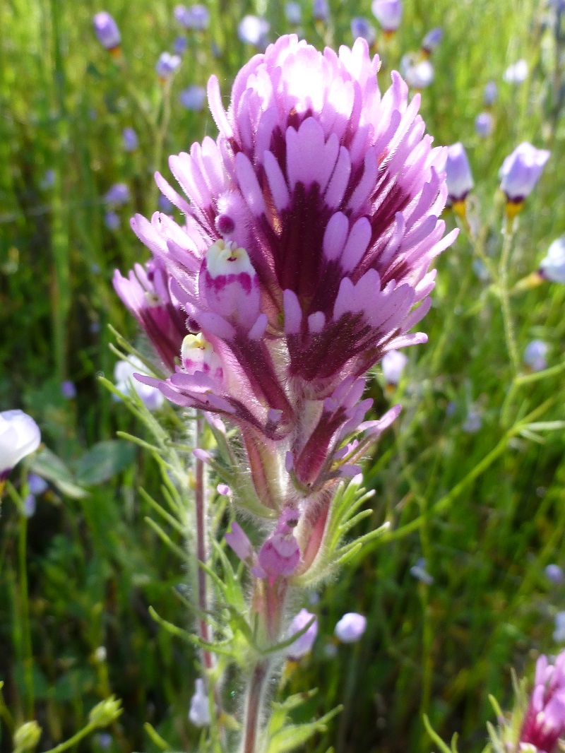
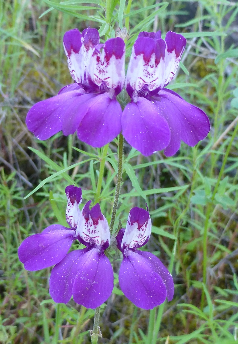
Owl’s clover was beautiful.
This area has a rich history. Native Americans lived in this area and if you look closely, you may see signs of their presence such as mortar rocks. There are also several historical structures in this area and we passed by one of them.
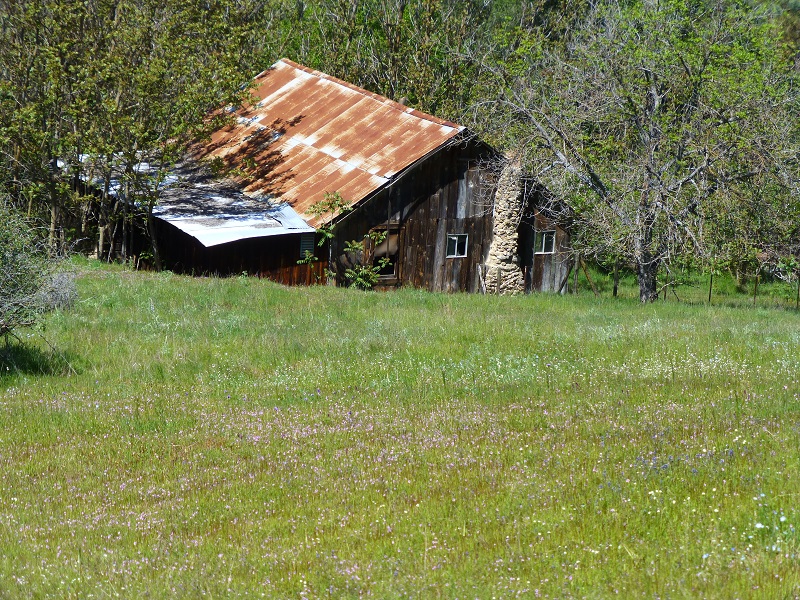
Mining also took place in this area and we passed close by the old John L. Mine. This gold mine was located in 1853 and was credited with a total output to date of over $75,000 in a 1914 report, which also stated that an arrastra was originally used, then a 1-stamp steam driven Kendall mill was used.
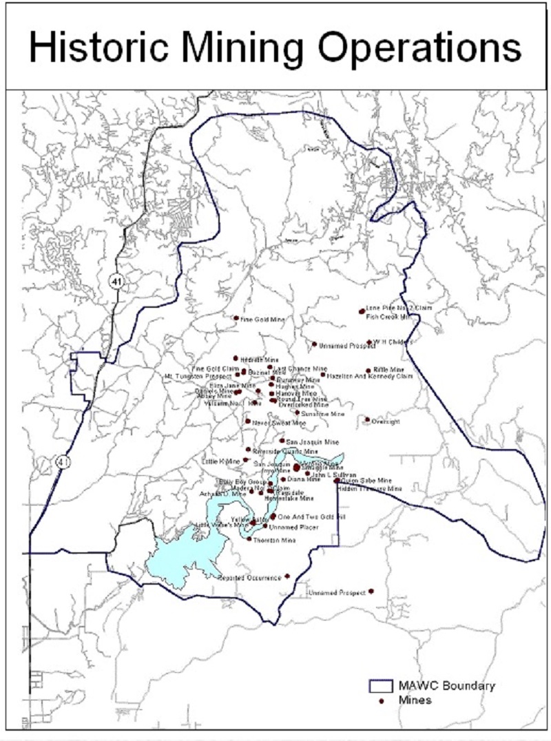
Historic Mining Operations (Goals and Objectives of the Millerton Area Watershed Assessment)
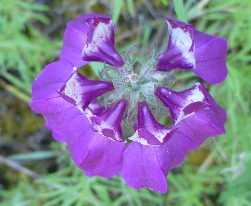
I don’t remember seeing so many of these flowers called Chinese houses on this trail in the past years.
There were a couple of spots where Deb and Raven could easily get a drink, but they were far and few between. Deb packed water for Raven on this hike, something to keep in mind if you bring your dog on this hike.
We came across more cows.


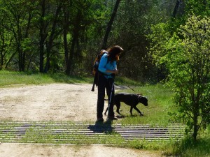
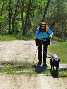
As we approached a cattle guard, we were curious how Raven was going to get across. Well, she jumped of course.
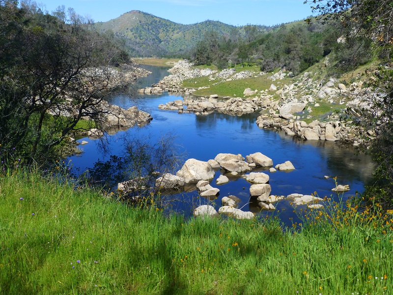
As we approached our lunch spot, we could look down into the water and saw some huge fish. Gail was able to capture a picture of them.
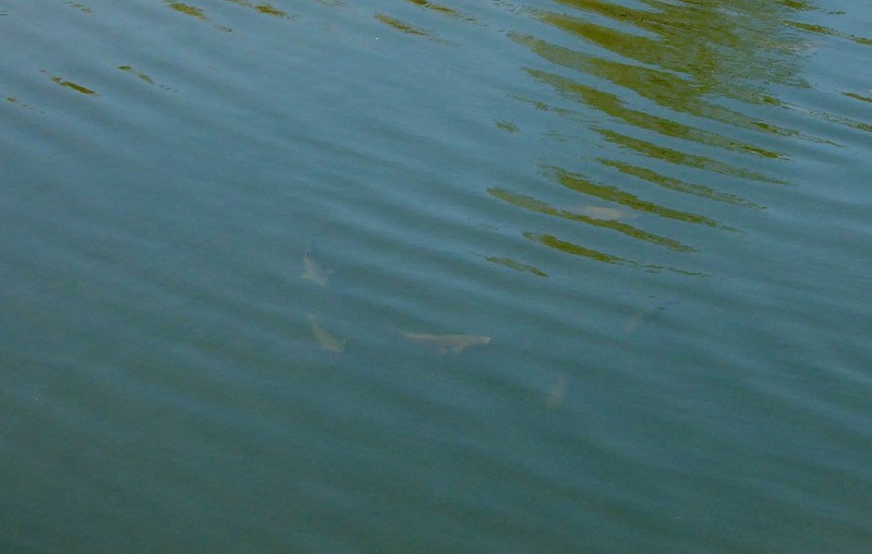
Photo by Gail Gilbert
Not a bad lunch spot, is it?


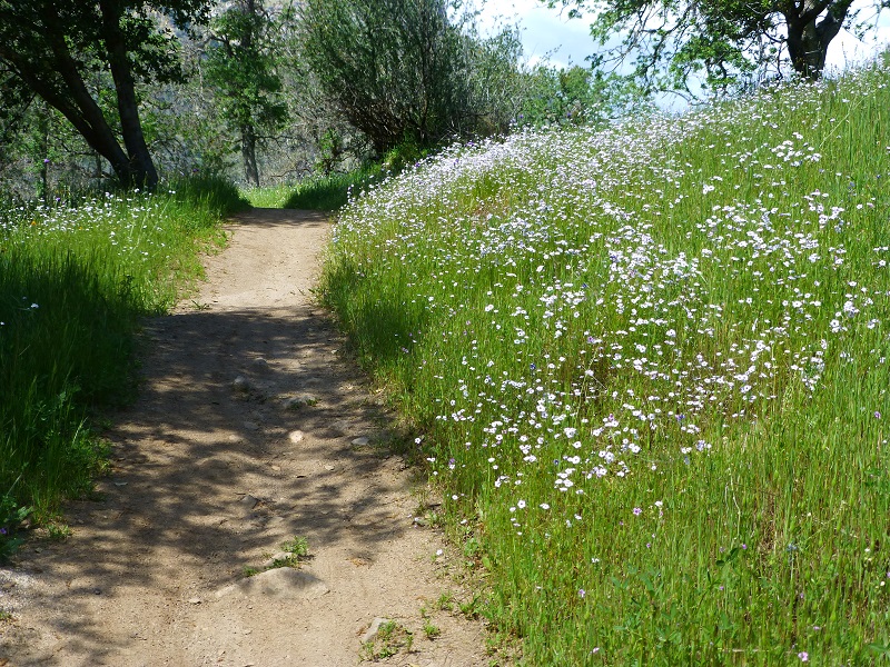
We headed back down the trail, lined with small white and pink flowers. The light breeze made those little flowers dance for us. Have a look and listen: San Joaquin River Trail Wildflowers in the Wind Video
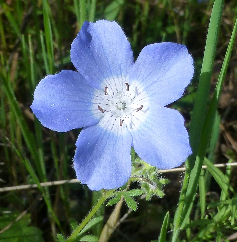
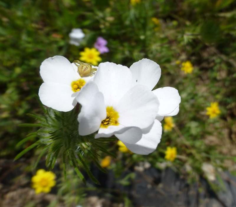
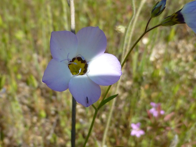
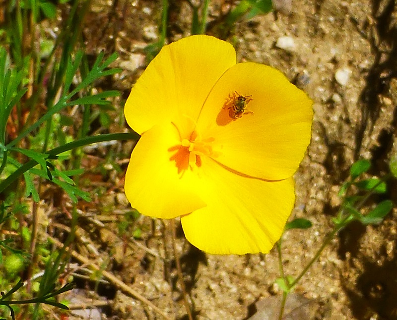
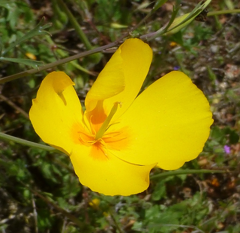
As we moved along the trail, we admired the close up beauty of single flowers, some of them with a bug on them
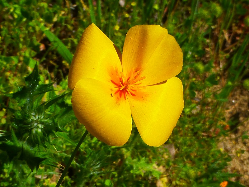
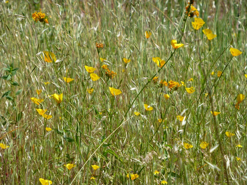
And those poppies were open for the afternoon part of the hike.
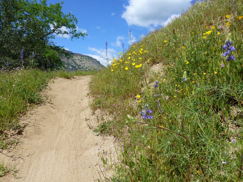
I couldn’t believe how those wildflowers lined the trail.
And even more poppies!
Our timing for this hike this year was spot on and we didn’t encounter any rattlesnakes! It was nice to see the San Joaquin River and Millerton Lake’s levels back up. That is almost as good of a highlight as those wildflowers!
Sources:
Goals and Objectives of the Millerton Area Watershed Assessment
BLM San Joaquin River Gorge Special Recreation Management Area
Prior Blogs in the Area:
Hiking the Pa’san Ridge Trail February 21, 2016
San Joaquin River Gorge Hike April 17, 2014

