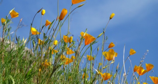
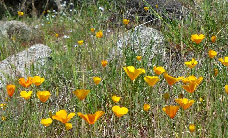
Poppies and other colorful wildflowers were starting to come alive with our recent warm spell and we couldn’t wait to see if we could spot some. I just love poppies!
Where: BLM, San Joaquin River Gorge Special Recreation Management Area
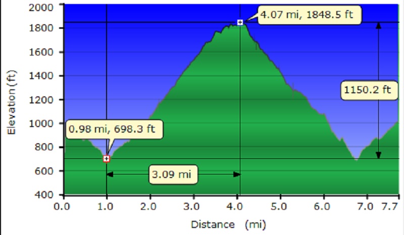
Distance: 7.72 Miles
Difficulty: Easy to Moderate, depending on how far you go
Elevation Range: 636′ to 1,861′
Date: February 15, 2016
Maps: Millerton Lake East Topographic Map
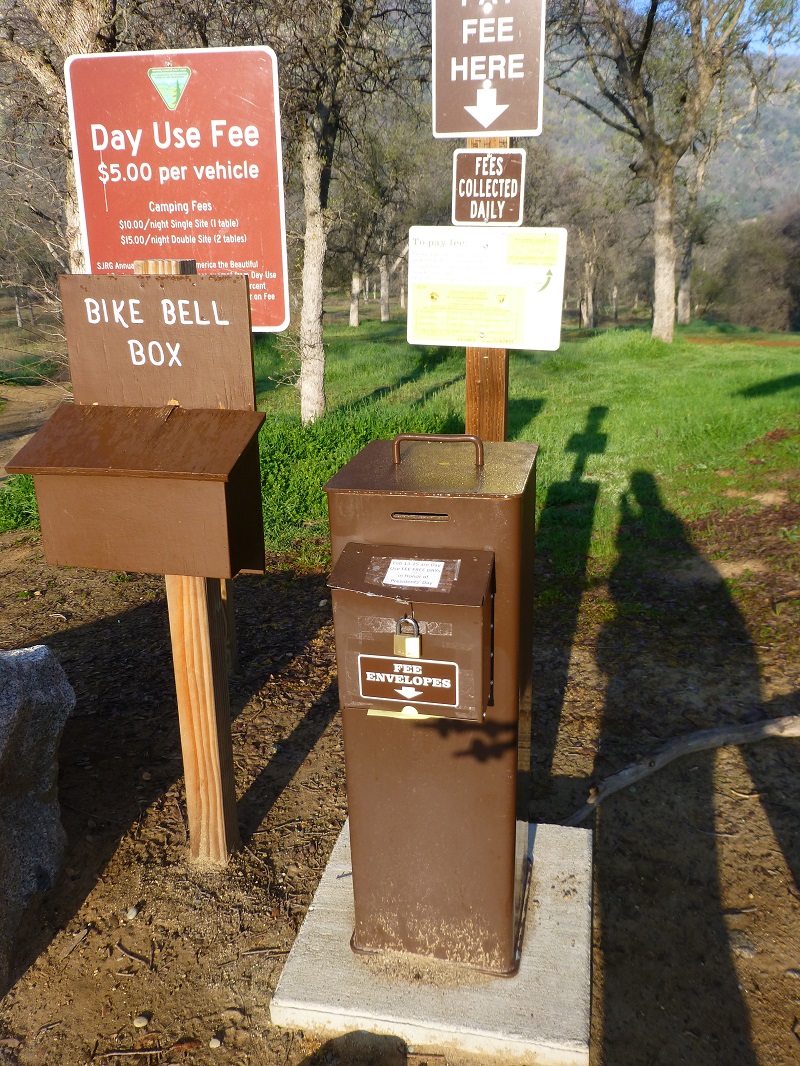
From North Fork, we drove past Kerckhoff Lake then to Smalley Road where we turned right at the BLM San Joaquin River Gorge Sign. We headed down Smalley Rd to the Ya-Gub-Weh-Tuh Trailhead and Campground. There is a well maintained outhouse here (not smelly) and picnic tables. There is a $5 for day use with a self service payment system. We had a nice surprise on this day because BLM had a sign on the payment box that the entire President’s Day weekend was free.
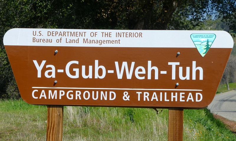
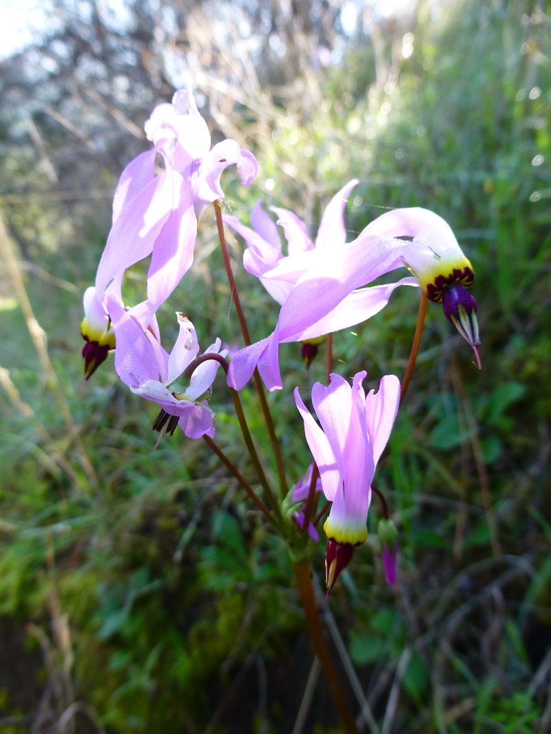
This trail gets its name from the Dumna and Kechayi Native Americans, who once lived in the area and the translation is pine nut. The Pa’san Ridge Trailhead started near the restrooms. We had a couple of gates to go through which we made sure we closed behind us. It wasn’t long before Deb spotted our first flowers and they were shooting stars.
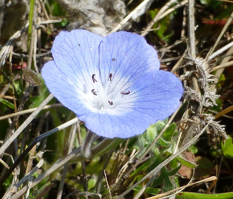
And we began seeing different types of blooming wildflowers.
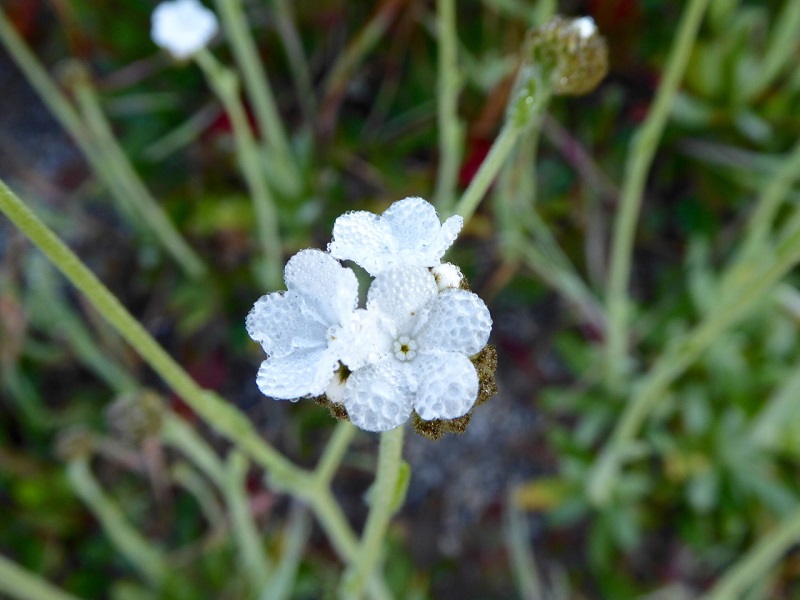
Photo by Gail Gilbert
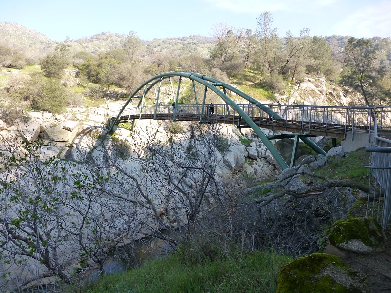
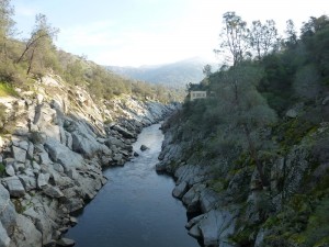
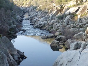
About a mile down the trail, we reached the bridge that crossed the San Joaquin River. We could look up river at the rocky San Joaquin River Gorge and one of the two Kerckoff Powerhouses. Did you ever wonder how Kerckoff Lake got its name? Well, in the early 1900’s, W. G. Kerckoff was one of the major investors in hydroelectric power plants in Southern California and controlled almost half of the stock of Pacific Light & Power Company. Along with A. C. Balch, he purchased the assets of San Joaquin Electric Company (San Joaquin Powerhouse #1, transmission line to Fresno, water rights, etc.) and formed the San Joaquin Power Company.
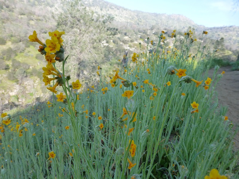
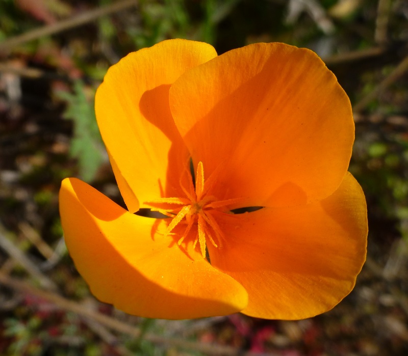
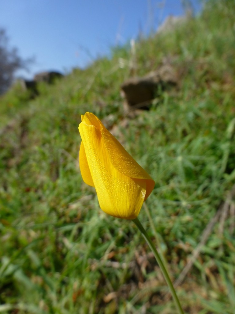
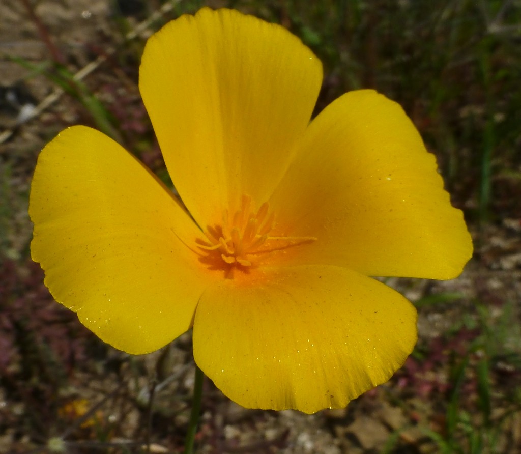
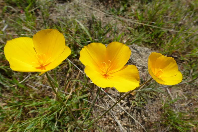
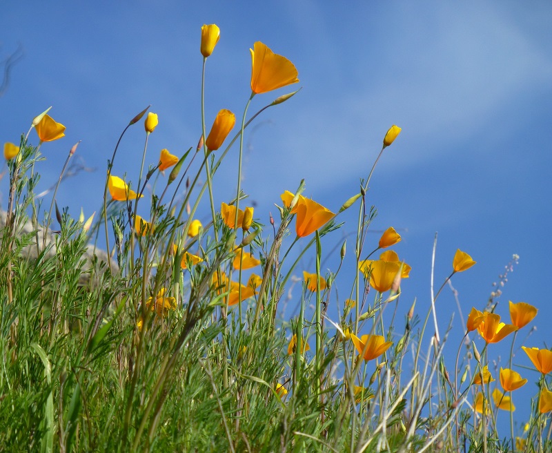
After crossing the bridge, we start climbing and came to a choice on which direction of this loop we would do. We turned right. The Wuh-ki’o Trail goes to the left and connects with our loop. We hadn’t gone too far until we spotted out first poppies, still with dew on them, mostly still closed up in the morning.

And we started seeing more flowers.
And many more poppies.
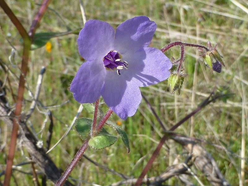
As we climbed, we got whiffs of a wonderful perfume-like scent and it was the beautiful purple lupine that was blooming.
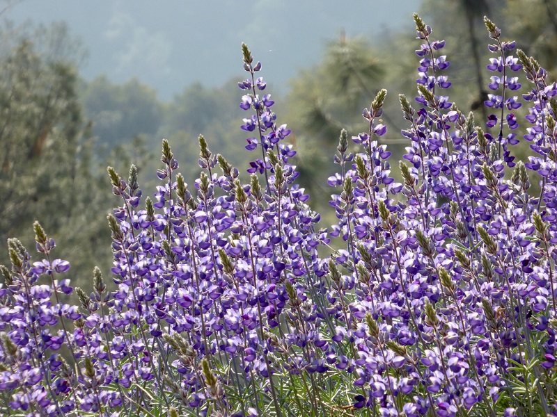
Photo by Gail Gilbert
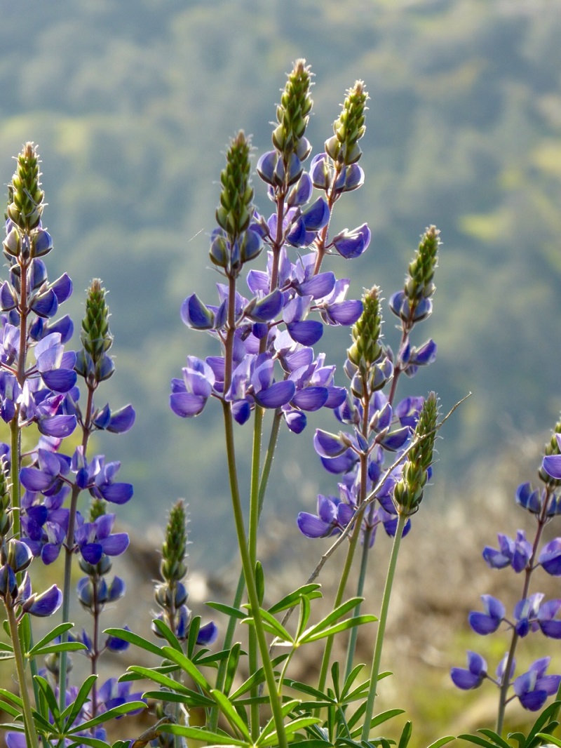
Photo by Gail Gilbert
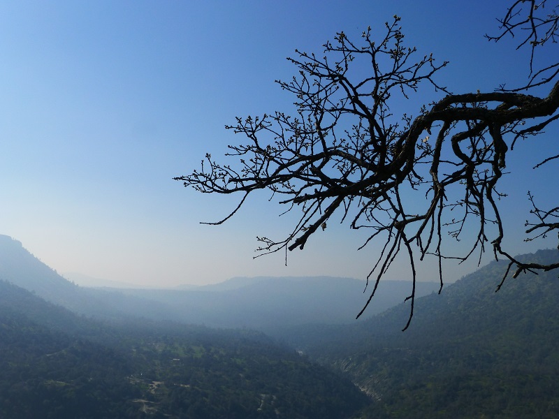
When we got to the top, there is a wonderful vista and great spot for lunch but it was pretty early so we continued on.
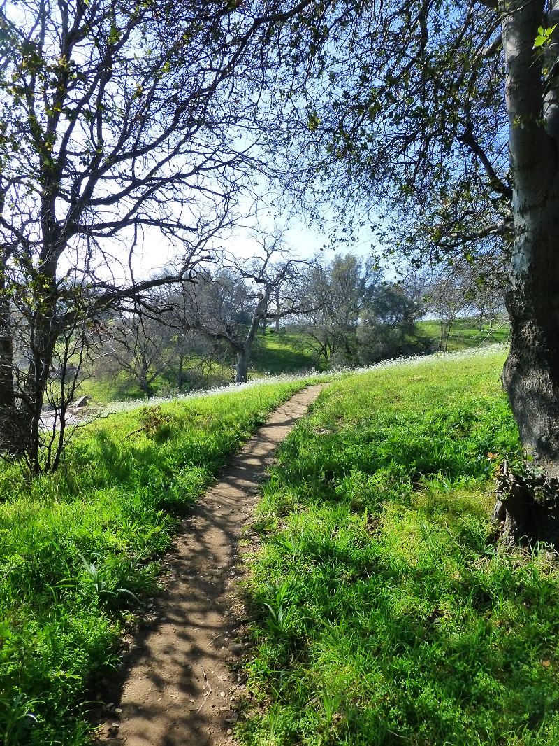
The trail continued through pretty green grass.
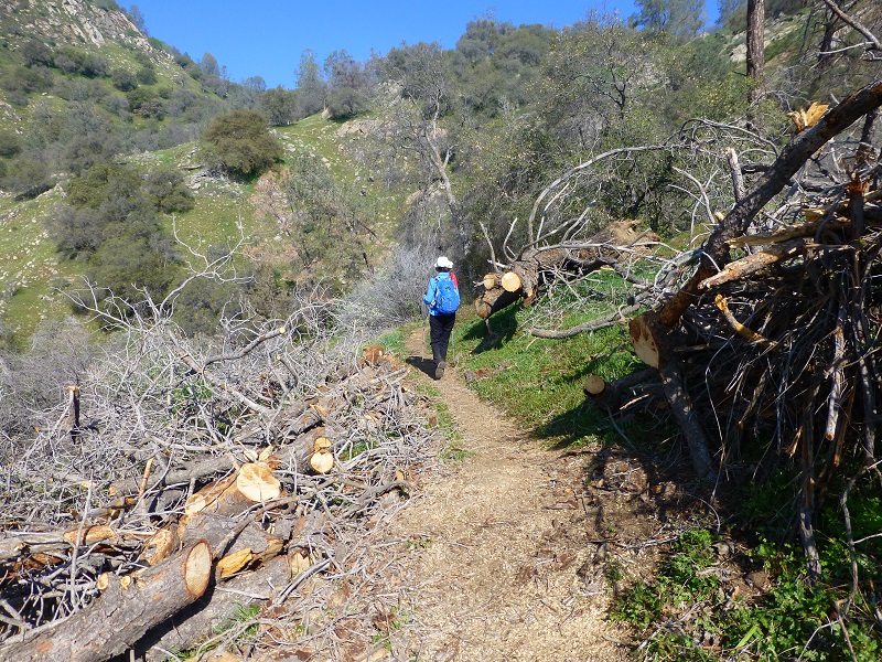
As we heading down, we saw that there had been several areas on the trail where trees had fallen across the trail, blocking it. I don’t who did this hard work of cutting through these trees and clearing the trail , but it sure looked nice. Thank you for your hard work!
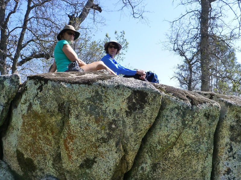
It was about time for lunch and we found a dandy lunch spot on top of some giant flat rocks.
We continued headed down the trail, taking the signs that led to the bridge. There weren’t hardly any poppies or wildflowers on this part of the loop but I think as you approach the bridge, the view from this side is very nice. In fact, we saw a small group having a picnic with that view right in front of them. That was a great spot.
We were so thrilled to see this early wildflower show, especially those poppies. As we drove out Smalley Road, Gail looked across the canyon on our way out and spotted 3 ridges that were orange with poppies. When I got home, I looked at the map and think they were between Bug Table and Fish Creek Mountain above the SJ. We also saw another mass of orange but can’t say where that one was.
We had spotted a few poppies on the way to Redinger Lake a couple of weeks ago and the poppies have opened up even more since then. Local photographers Janet Martinez and Debra Sutherland shared some beautiful pictures that they took this week above Redinger Lake. The next day I saw some amazing pictures taken by another local photographer, Elizabeth Christie, of blankets of poppies around the area of Hwy 168 and Tollhouse Rd. I wonder how they are looking in the Merced River Canyon. Those poppies are out and it will be a fun road trip to check them out.
Sources:
San Joaquin River Gorge Special Recreation Management Area

