It was the first day after Glacier Point Road opened up for the season and you know that I had to get into the higher country. Did you know that Ostrander Lake is the primary source of Bridalveil Creek, which feeds Bridalveil Falls?
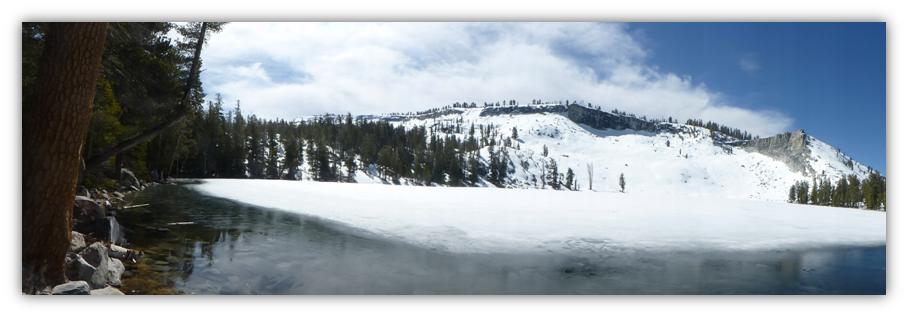
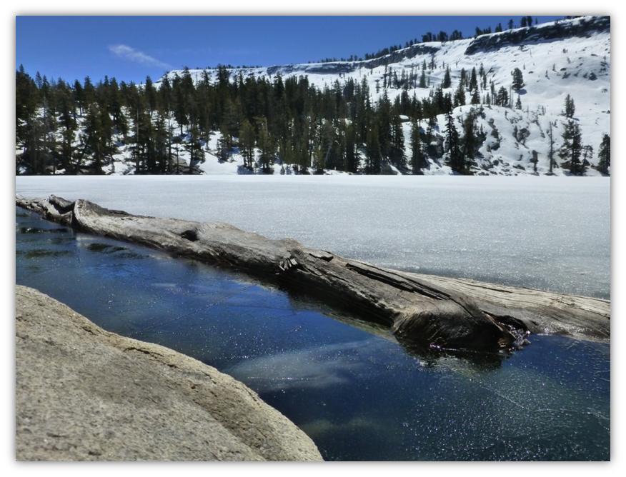
Where: Yosemite National Park Highlights: We hiked up to Ostrander Lake on the first full day that Glacier Point Road was open for the season and didn’t see a single person on the hike. Beautiful snow-covered mountains to the east created great views as we climbed up the snow-covered trail to Ostrander Lake. And when we arrived, all I can say is wow! Ostrander Lake was still iced over but revealing reflections in the small amount that was starting to melt.
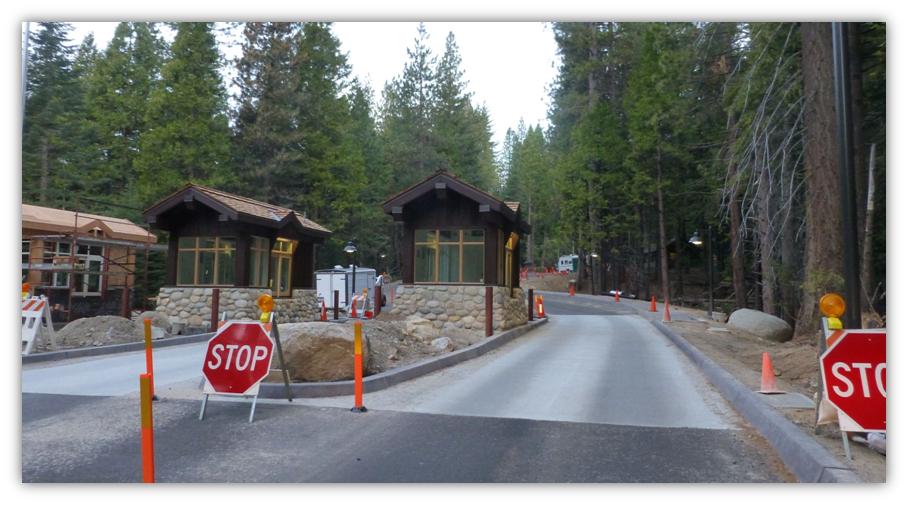
We headed up Highway 41 through the South Entrance to Yosemite near Mariposa Grove. They sure have made progress on the new Entrance Stations and were routing the traffic through them but they weren’t operational yet.
I was curious about how Ostrander Lake had gotten its name so I did some poking around and found three different stories. Wikipedia says that the lake is named for a descendant of Alexander Ostrander (1783) of Smithfield, NY, and that this branch of Ostrander family settled in Colorado (Georgetown, Granby, Hot Sulphur Springs, Golden) prior to 1872, some moving from Colorado to California. Yosemite National Park’s website says that is named for a Sheepman. One site even says that the lake is named after Alexander Ostrander who settled near the lake. Well, that last one is not true because this Alexander Ostrander never left New York.
I did a little research on the descendants of this Alexander OSTRANDER and one son named James Harvey Ostrander came to California, born 1825 Madison, NY, and died 1913 in Merced, CA. He is consistently listed on census in Merced with his family as a farmer until the last census where he was in Dos Palos and raised stock. Another one of Alexander’s sons, Peter Shenandoah, born 1815 Shenandoah, New York, and died 1885 Denver, CO was in Georgetown, Colorado Territory by 1870.
I tracked the descendants of these two sons and cannot find that they or their descendants came to the Yosemite area. I ran tax records, census, marriage, criminal records and military records and couldn’t find an OSTRANDER out here in the 1860 era. It could be that they lived in Colorado and snuck out here between censuses or their name is so terribly misspelled I am not seeing it. I am sorry that I am unable to come up with a full name for whom Ostrander Lake was named. Perhaps a reader can help with some information on this mystery?
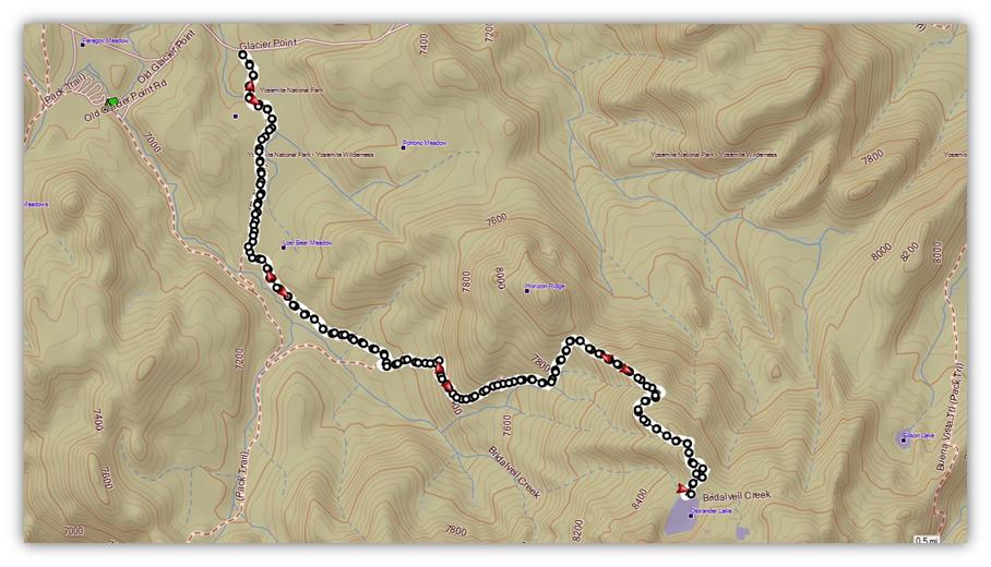
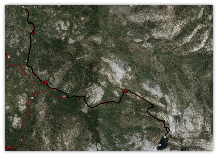
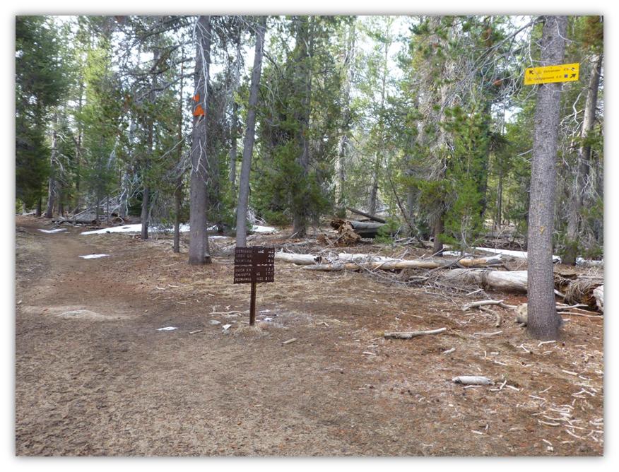
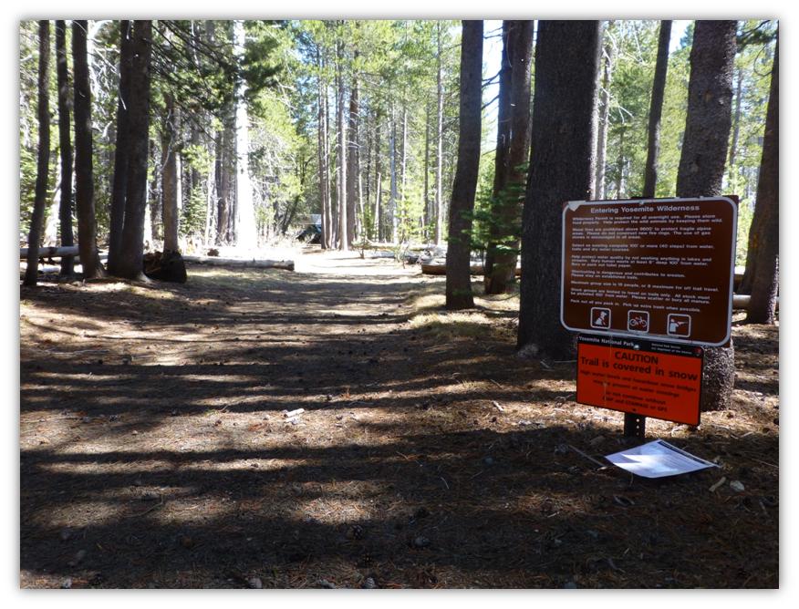
We continued driving, turning right at Glacier Point Road (GPR) and continuing about nine miles down to the wide parking area that is just off the road and where the sign said Ostrander Lake, a little past where GPR crosses Bridalveil Creek.
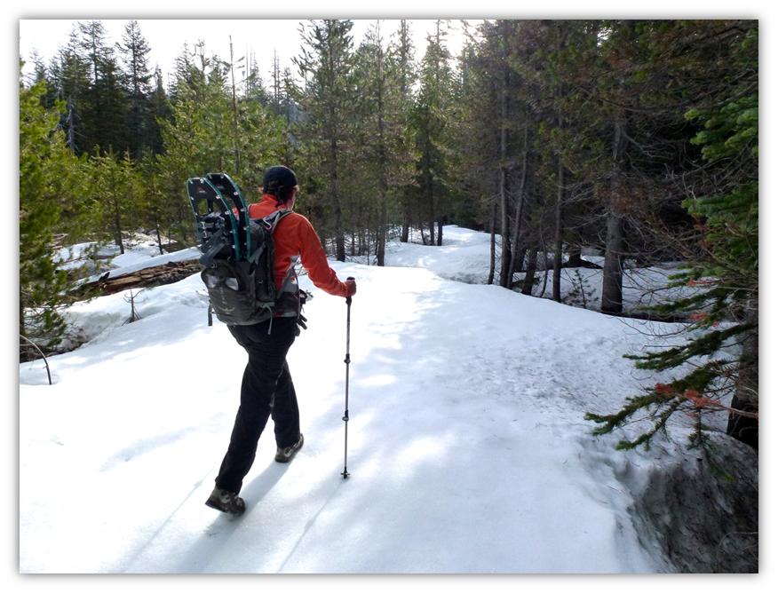
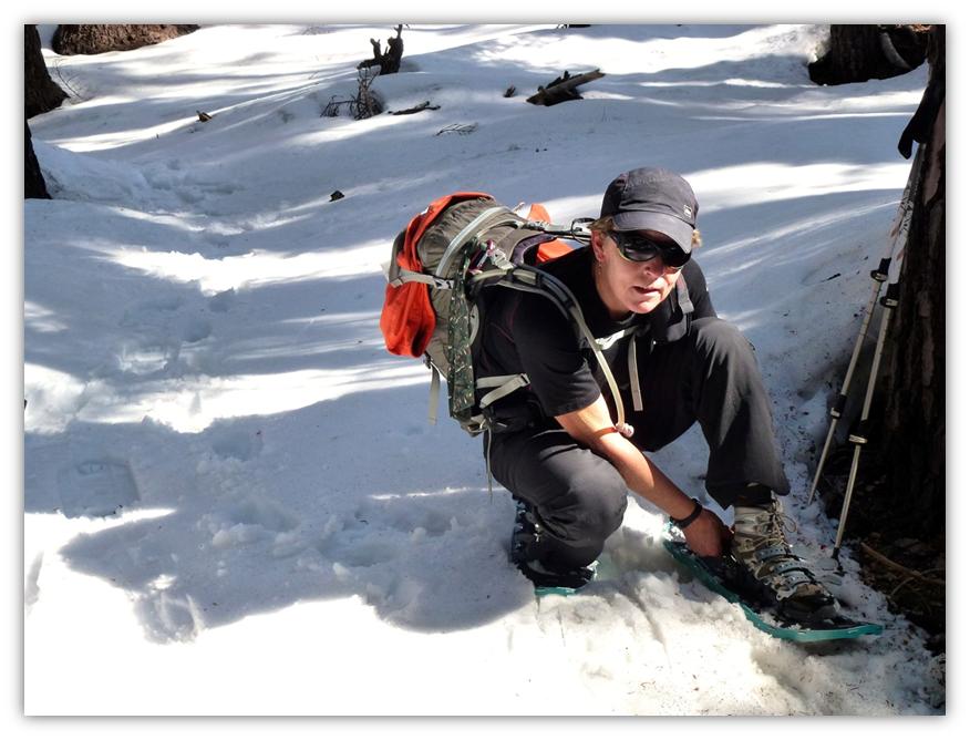
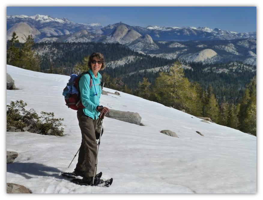
We headed up the trail, not really sure how much snow would be on it, so we packed our snowshoes just in case (photo of me packing snowshoes by Gail Gilbert). There were some long stretches where the trail was dry and clear, with short and longer patches of snow, sometimes a foot or so deep and we had about four downed trees we had to crawl over. It was about 34 degrees when we hit the trail at 0800 and the snow was already a little soft on the top in places, icy in other places. We followed the trail signs to Ostrander Lake when we reached junctions.
As we reached the upper parts, the warm sun had melted the snow to the point where we started postholing, sinking every once in a while into a big hole, so we strapped our snowshoes on. (Photo by Gail Gilbert)
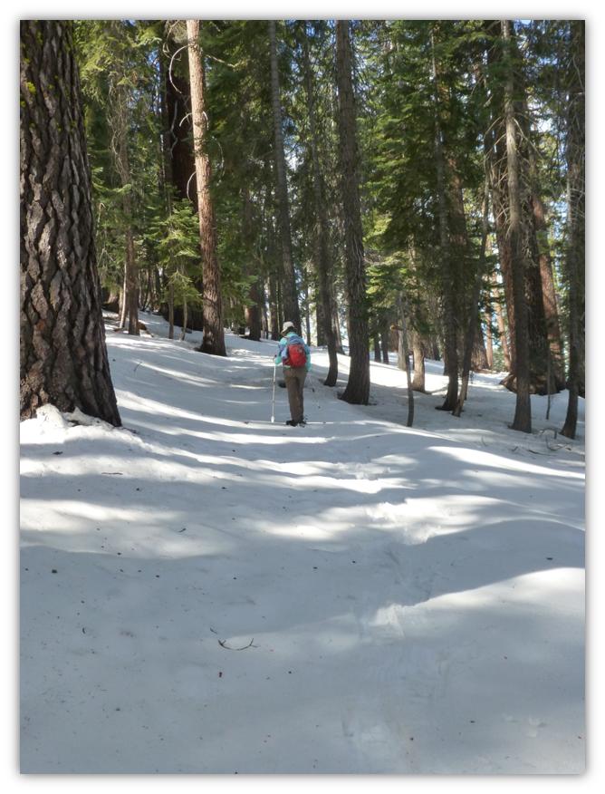
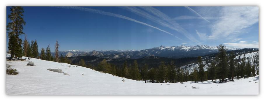
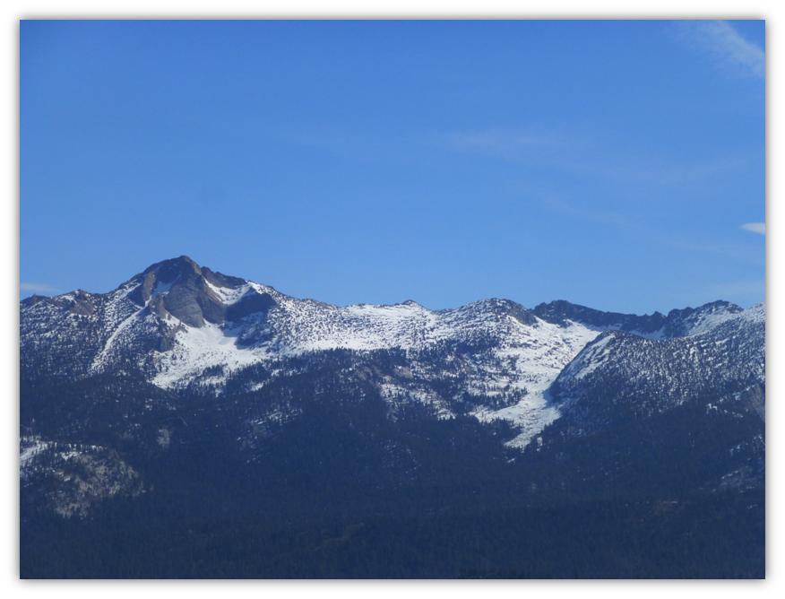
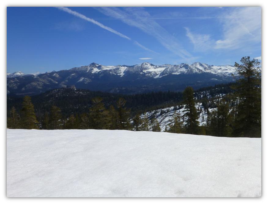
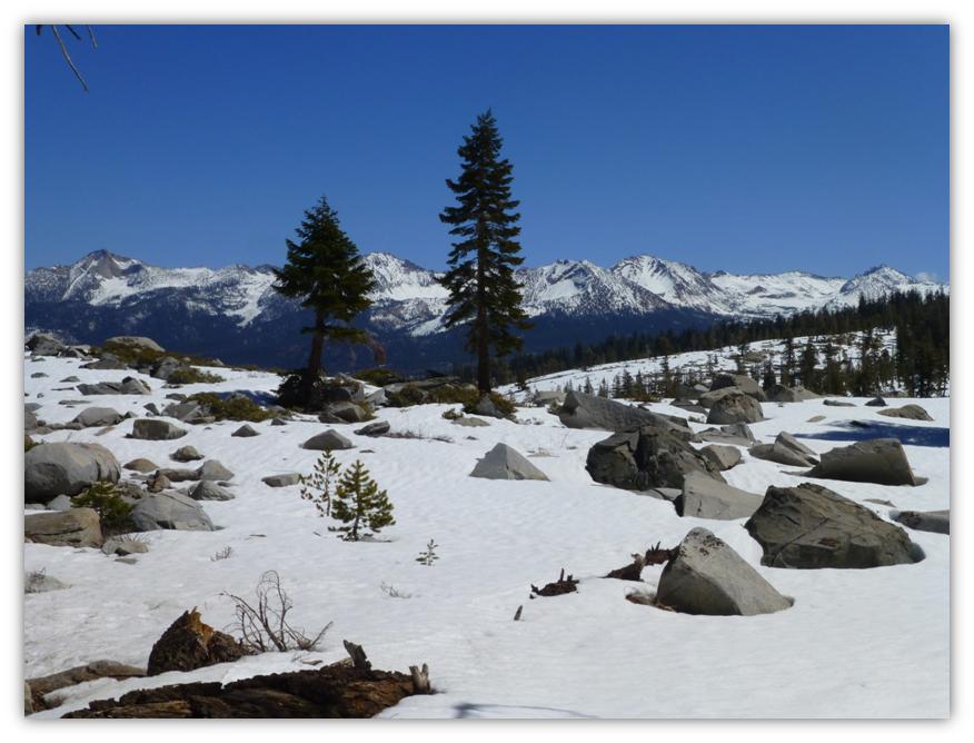
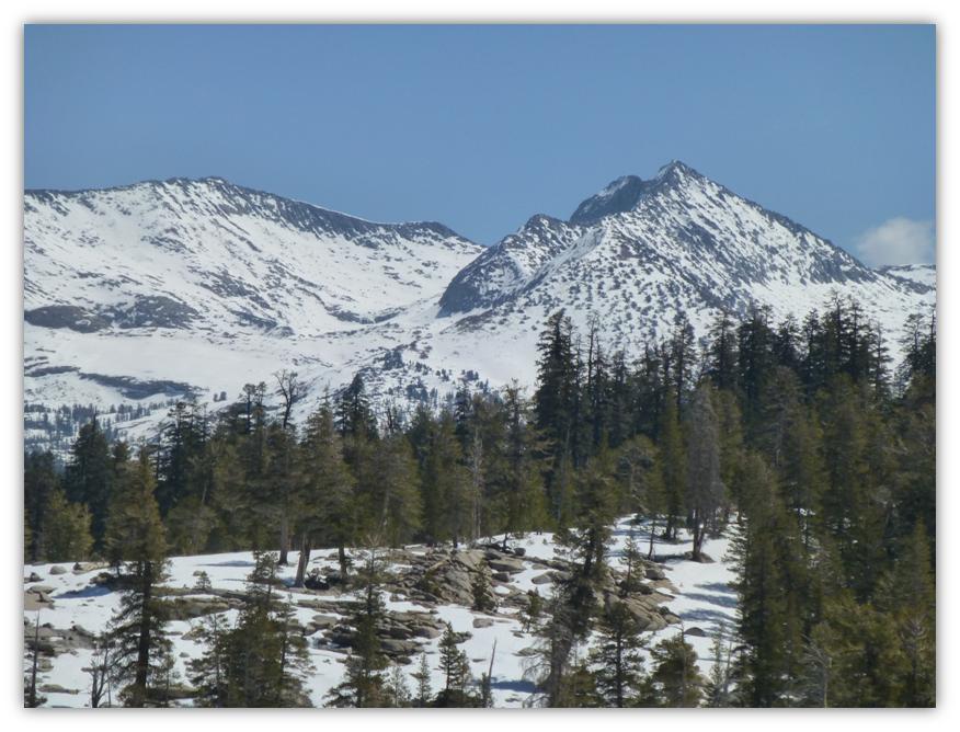
We had reached a point on the trail where we got some wonderful views of the mountains to the east of us. We could easily pick out Mt. Starr King, Half Dome and many others. We could even see all the way to the Clark Range and to the higher mountains near Tuolumne Meadows.
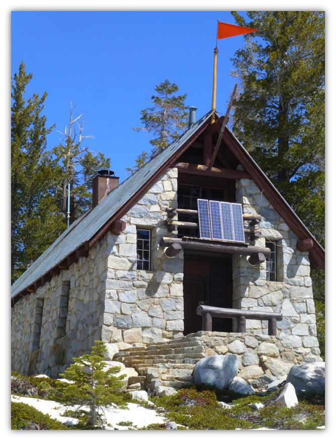
We headed down to Ostrander Lake, walking next to the Ostrander Ski Hut. The Ostrander Ski Hut is a two story stone building that was built in 1941 by the Civilian Conservation Corps for cross-country skiers. It was originally intended to be part of a larger system of winter trails and huts along the Sierra Crest that never were developed. It is operated by the Yosemite Conservancy, a non-profit educational organization in Yosemite National Park and is staffed with a hutmaster during the winter months. It sleeps 25 people and has bunks, mattresses, wood stove, a kitchen with a gas stove for cooking and assorted pots and pans available for the visitor’s use. Drinking and wash water is hauled from the lake in buckets and that water treatment is the individual visitor’s responsibility. Light is from solar powered lights.
National Park Service rangers staffed the cabin starting in the 1960s, but by 1974, demand for the hut grew too large, and Yosemite Conservancy, in conjunction with NPS, took over its stewardship and management.
All revenue from overnight fees is used to operate the ski hut. In 2013, work was funded to rehabilitate the hut by replacing water tanks to improve water quality, repairing a dilapidated wood shed that had become vulnerable to rodents, and restoring architectural features. The original countertops of solid planks of sugar pine were refinished, while the stone mortar and lodgepole pine beams that are essential to the historic character of the building also received much-needed repairs.
“This project will preserve the historic Ostrander Ski Hut experience that has been enjoyed by generations of visitors,” says Rod Kennec, exhibit specialist. “By repairing external structures and restoring original features, we have preserved the architectural character of the hut, while addressing the comfort and safety of visitors.”
The Conservancy has also established a reserve account to ensure essential maintenance is carried out. The Ostrander Ski Hut is just one of many projects that the Conservancy supports with money and personnel. You can access the link to Yosemite Conservancy at the end of this Blog to learn more and about how you can help.
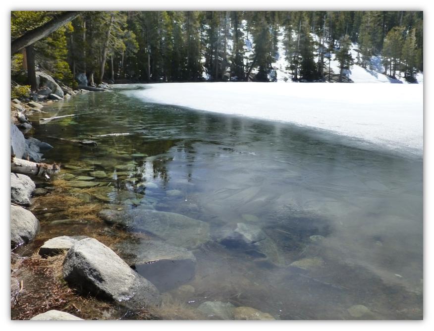
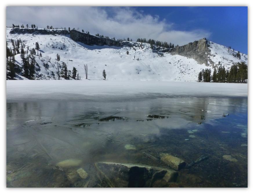
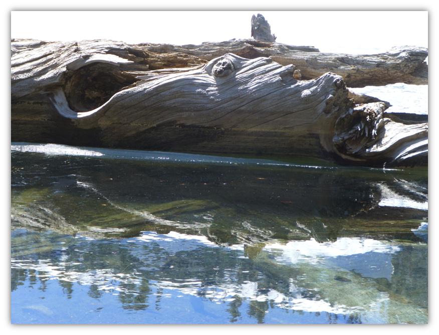
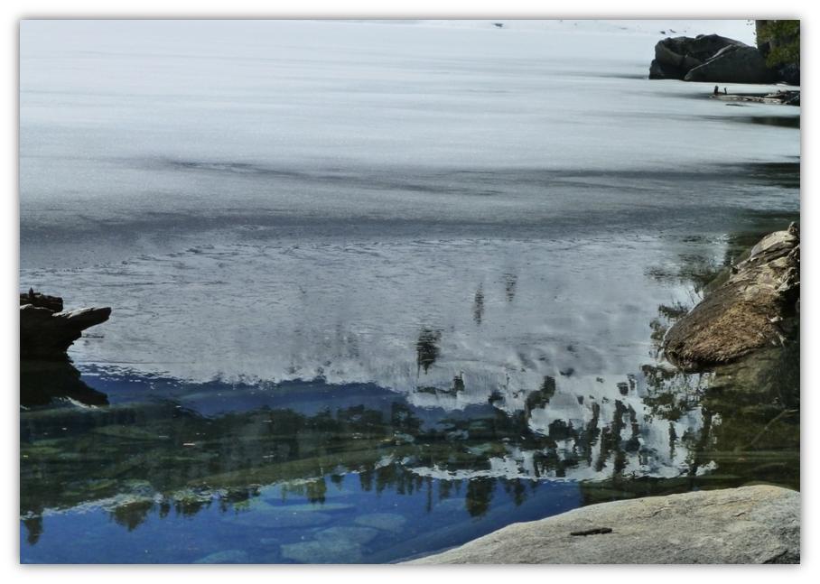
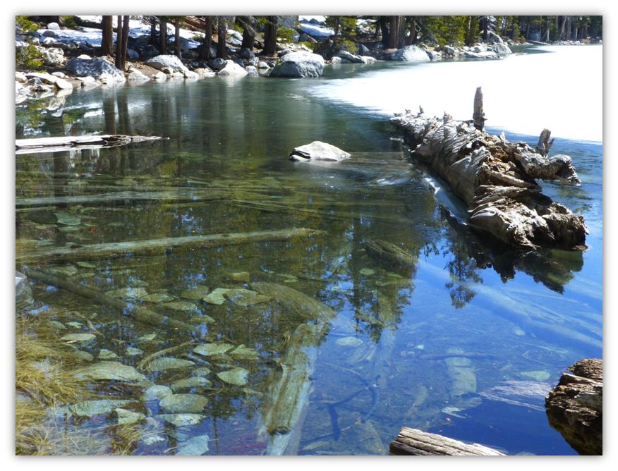
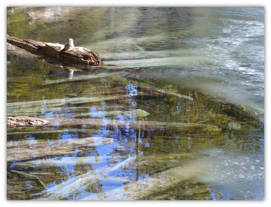
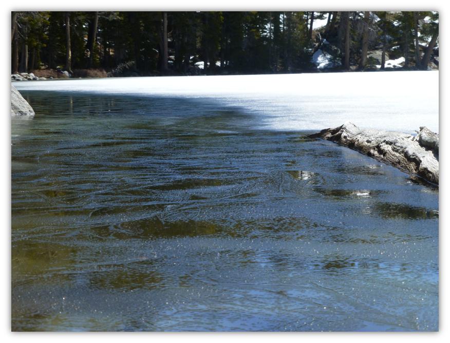
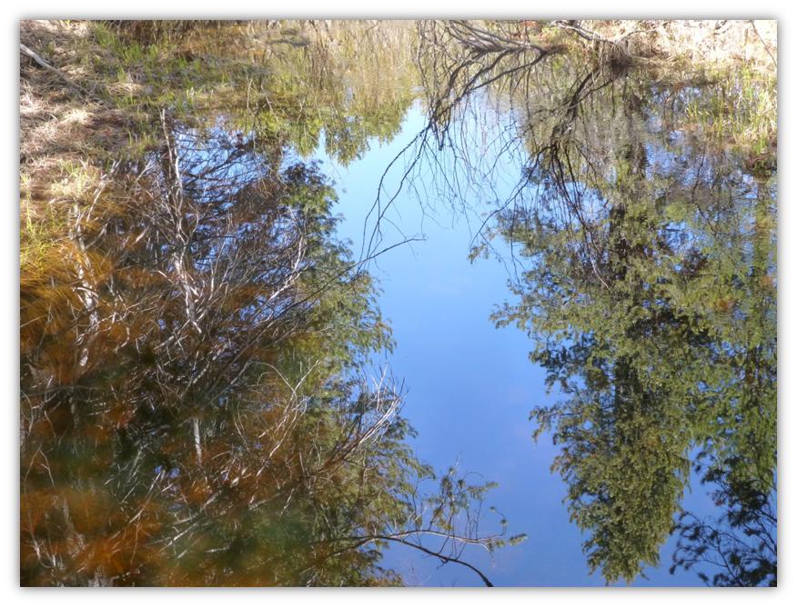
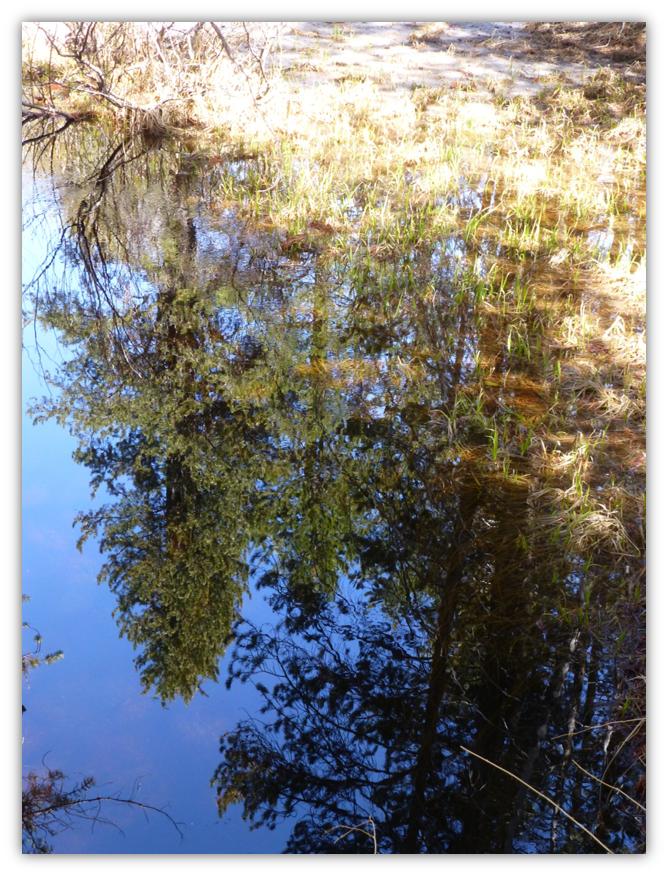
Ostrander Lake was still iced over, just started to melt along its outer edges. How beautiful it was! The very light film of ice on the outer edges was melting and created reflections of the trees and mountains surrounding the lake.
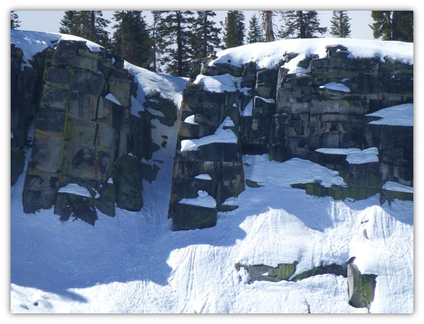
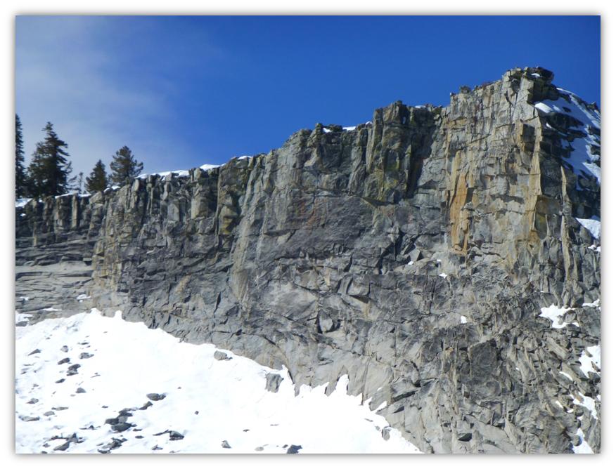
Glaciers formed Ostrander Lake long ago, leaving a beautiful lake in a cirque that is surrounded on one side by snow covered Horse Ridge.
We refocused our attention on the lake’s reflections for a while.
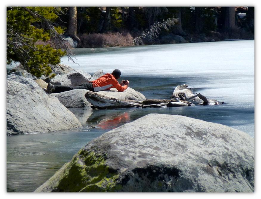
Do you ever wonder how I take some of my shots? Well, Gail Gilbert captured one of my secret techniques.
After lunch by the lake, we headed back down the trail but deviated a little at the upper end, hugging the crest where we could get those snow covered mountain views.
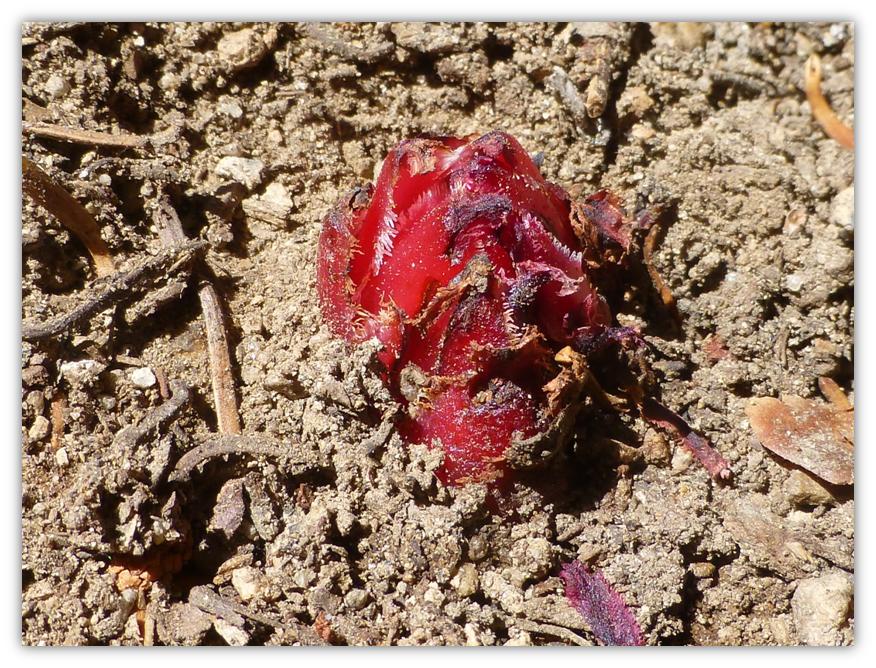
We came across our first snow plant of the year, barely 1 inch tall, poking through the soil right along side the trail.
The overcast skies in the morning didn’t provide a good opportunity to capture the beautiful reflections in Bridalveil Creek when we passed them in the morning, but we got them in the afternoon.
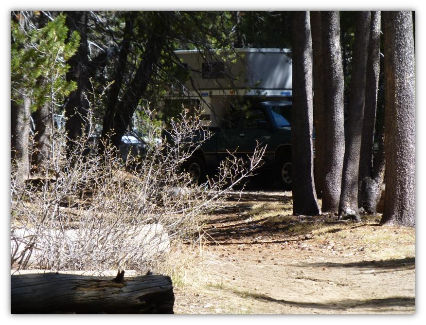
Well, we had a a terrific day and had the trail and lake all to ourselves. As we reached the trailhead, we couldn’t believe our eyes. A pickup with a camper had actually driven about 100 yards down the Ostrander Trail and was set up for camping with a dog staked out. Unbelievable! We reported them on our way out. I still can’t believe that someone would do that.
Sources:
Distance: 12.88 Miles
Difficulty: Moderate to Strenuous
Elevation Range: 6,750′ – 8,641′
Date: April 15, 2014
Maps: El Capitan Topog
 One of the interesting things about hiking in Yosemite is that you can take the same hike different times of the year or even different years and it can be so different. The beauty and wonder changes with the years and the seasons. Glacier Point Road opened up a full month earlier than it did last year, so we were able to take this hike earlier than we did last year and how different from last year!


http://www.yosemite.ca.us/library/yosemite_valley_place_names/
http://www.yosemiteconservancy.org/experience-yosemite/ostrander-ski-hut/index
http://wqww.yosemite.org/preserving-ostrander
http://en.wikipedia.org/wiki/Ostrander_Lake
http://www.yosemitehikes.com/glacier-point-road/ostrander-lake/ostrander-lake.html
Schaffer, Jeffrey P. Yosemite National Park, A Complete Hiker’s Guide. Berkeley, CA: Wilderness Press, May 2008. Pages 323 325.